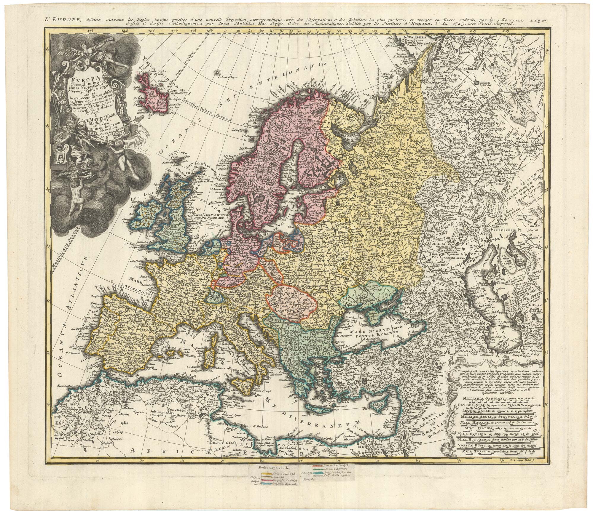


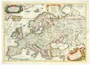
A mid-18th century map of Europe showing the spread of religions
Europa Secundum legitimas Projectionis Stereographicae regulas et juxta recentissimas observationes aeque ac relationes...
Nuremberg: Homann Heirs, 1743. Original colour. 500 x 570mm, with colour key labels pasted on.
£650.00
1 in stock
x
Question About This Item?
A mid-18th century map of Europe showing the spread of religions & HAAS, Johann Matthias.Stock #: 23322Similar to Sell?
Description
A detailed map of Europe, coloured to show the dominant religion rather than state boundaries. The large title cartouche features the Holy Roman Emperor receiving tribute from cherubs repreenting the other continents.
Condition:
A good example.Related products
-
An uncommon 17th century map of Europe
MERIAN, Matthaus. Date: 1640Stock #: 22936 £750.00 -
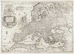
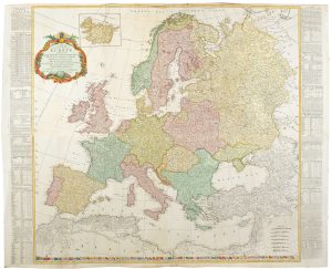
A four-sheet wall map of Europe
DE WIT, Frederick. Date: 1730Stock #: 20094 £6,500.00 -
First folio altas map of Europe to be engraved & published in England
BLOME, Richard. Date: 1669Stock #: 15151 £850.00 -
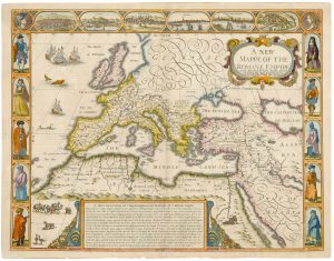
A 17th century map of the Roman Empire
SPEED, John. Date: 1676Stock #: 25079 £1,500.00 -
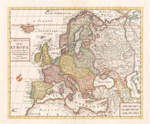
18th century map of Europe
ALBRIZZI, Giovanni Battista. Date: 1740Stock #: 23165 £280.00 -
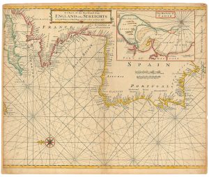
An 18th century sea chart of the Atlantic coasts of Europe
MOUNT & PAGE. Date: 1760Stock #: 24819 £460.00 -
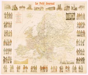
A wall map of Europe illustrated with military uniforms
MENETRIER, F. Date: 1900Stock #: 16006 £1,400.00 -
A two-sheet map of Europe
CORONELLI, Vincenzo Maria. Date: 1690Stock #: 24760 £2,600.00 -
A four-sheet wall map of Europe in 1772
KITCHIN, Thomas. Date: 1772Stock #: 20727 £1,500.00
Items by the same author
[ti_wishlists_addtowishlist]