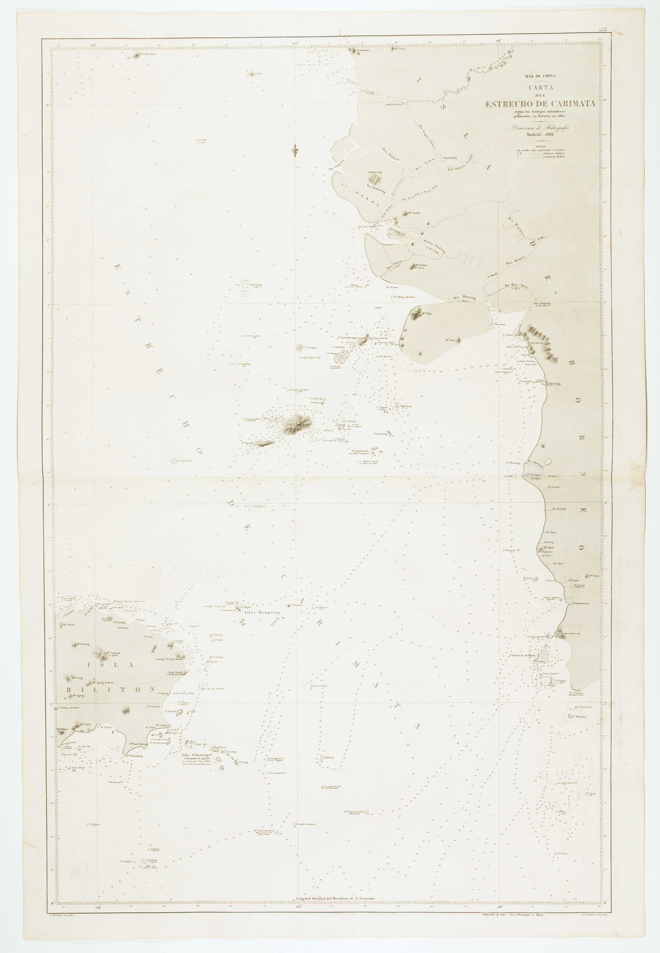


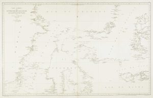
Sea chart of the Karimata Strait
Mar de China. Carta del Estrecho de Carimata segun los trabajos holandeses publicados en Batavia en 1862.
Madrid: Direccion de Hidrografia, 1866. 980 x 640mm. Blind stamp of the Direccion de Hidrografia.
£350.00
Description
Sea chart of the Karimata Strait, connecting the Java Sea to the South China Sea
Condition:
A good example.Related products
-
Sea chart of the Lesser Sunda Islands
RIUDAVETS, José Maria. Date: 1863Stock #: 12460 £500.00 -
The Strait of Malacca & Singapore
AA, Pieter van der. Date: 1714Stock #: 23646 £475.00 -
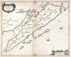
17th century map of Sumatra marking Singapore
JANSSON, Jan. Date: 1657Stock #: 8214 £850.00 -
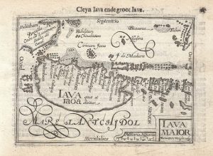
The first issue of this 16th century miniature map of Java
WRIGHT, Benjamin. Date: 1599Stock #: 21280 £260.00 -
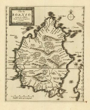
18th century map of Borneo
AA, Pieter van der. Date: 1725Stock #: 20069 £325.00 -
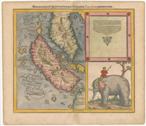
Woodblock map of Sumatra and the Malay Peninsula
MUNSTER, Sebastian. Date: 1588Stock #: 24584 £495.00 -
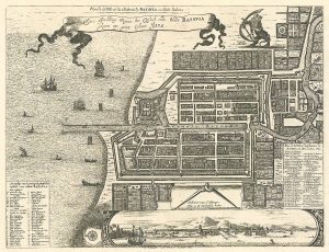
17th century plan of Batavia
MONTANUS, Arnoldus. Date: 1728Stock #: 24796 £400.00 -
Sea chart of the Makassar Strait
BRYANT, Tomas. Date: 1863Stock #: 12464 £650.00 -
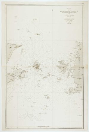
Spanish Sea chart of the Gaspar Strait
ESTRUCHE, J. Date: 1862Stock #: 12469 £450.00
Items by the same author
[ti_wishlists_addtowishlist]