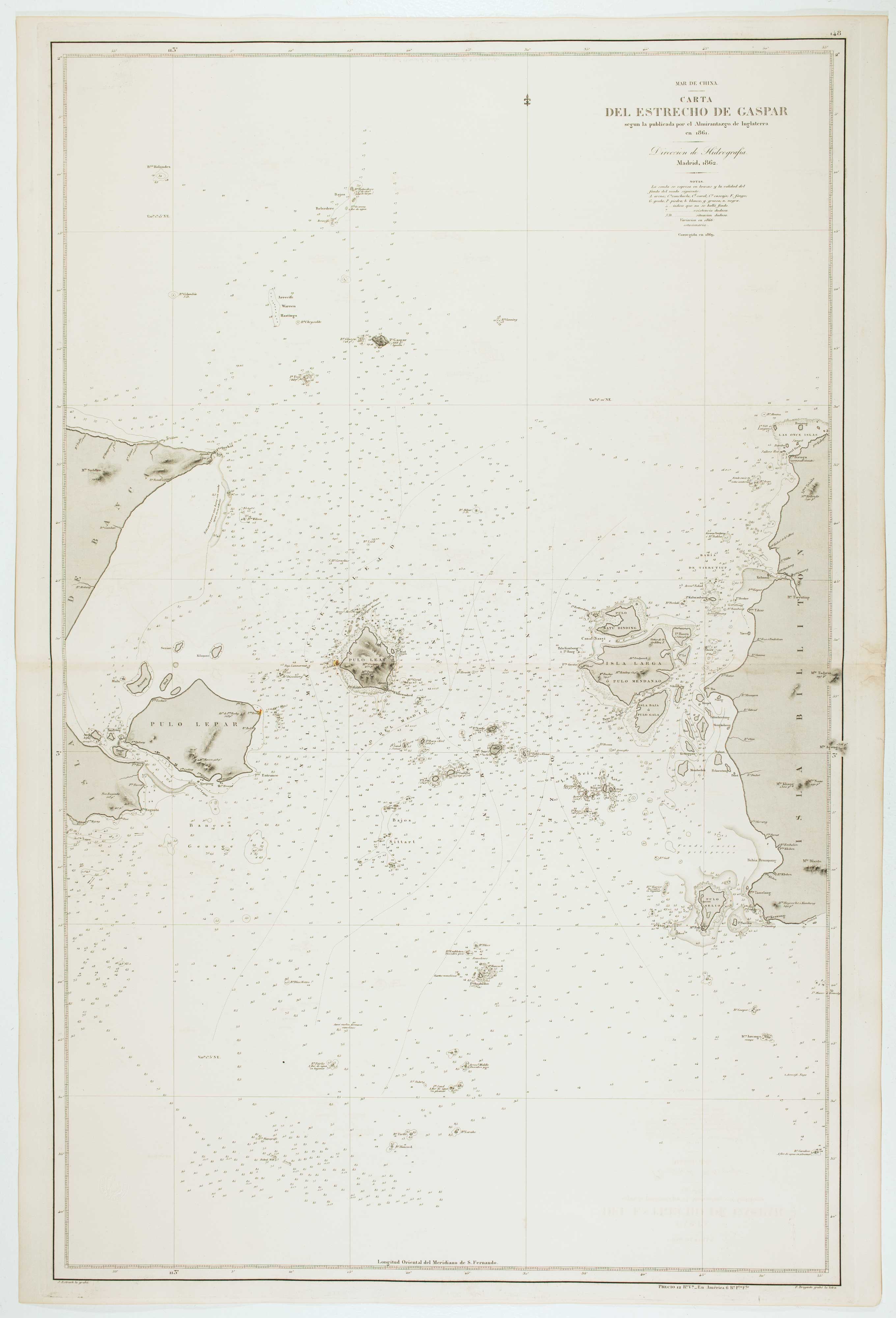


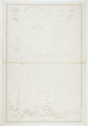
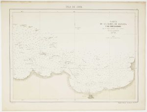
Spanish Sea chart of the Gaspar Strait
Mar de China. Carta del Estrecho de Gaspar segun la publicada por el Almiratazgo de Inglaterra en 1861.
Madrid: Direccion de Hidrografia, 1862. Touches of original colour. 980 x 640mm. Blind stamp of the Direccion de Hidrografia.
£450.00
Description
Sea chart of the Gaspar Strait (Selat Gelasa), between the islands of Belitung and Bangka in Indonesia. As a connection between the Java Sea to the South China Sea it was an important route: an English ship had used it as early as 1702. Lighthouses are marked in colour.
Condition:
A good example.Related products
-
Sea chart of the Indonesian provinces of West & East Nusa Tenggara, with East Timor
BREGANTE, S. Date: 1863Stock #: 12458 £500.00 -
18th century view of the Dutch city of Batavia
SALMON, Thomas. Date: 1753Stock #: 23642 £160.00 -
The Strait of Malacca & Singapore
AA, Pieter van der. Date: 1714Stock #: 23646 £475.00 -
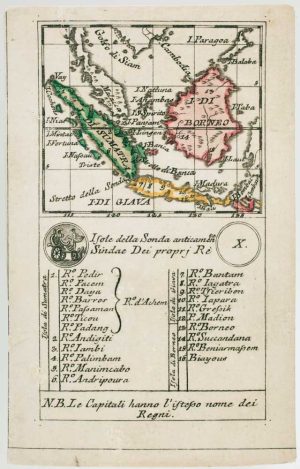
An 18th century playing-card map of Borneo & Sumatra
RABATTA, Augusto & BAILOU, Jean Baptist de. Date: 1779Stock #: 13010 £250.00 -
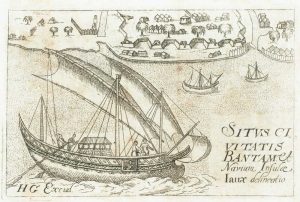
Map of Bantam on Java from Varthema’s Travels
VARTHEMA, Ludovico di. Date: 1610Stock #: 13210 £250.00 -
Sea chart of the western Java Sea
DE LORENZO, J. Date: 1863Stock #: 12468 £350.00 -

Pair of sea charts of the Makassar Strait
BRYANT, Tomas. Date: 1863Stock #: 12474 £650.00 -
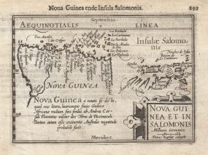
A 16th century miniature map of New Guinea
LANGENES, Barent. Date: 1599Stock #: 21278 £400.00 -
Sea chart of the Bay of Jakarta
RIUDAVETS, José Maria. Date: 1862Stock #: 12466 £450.00