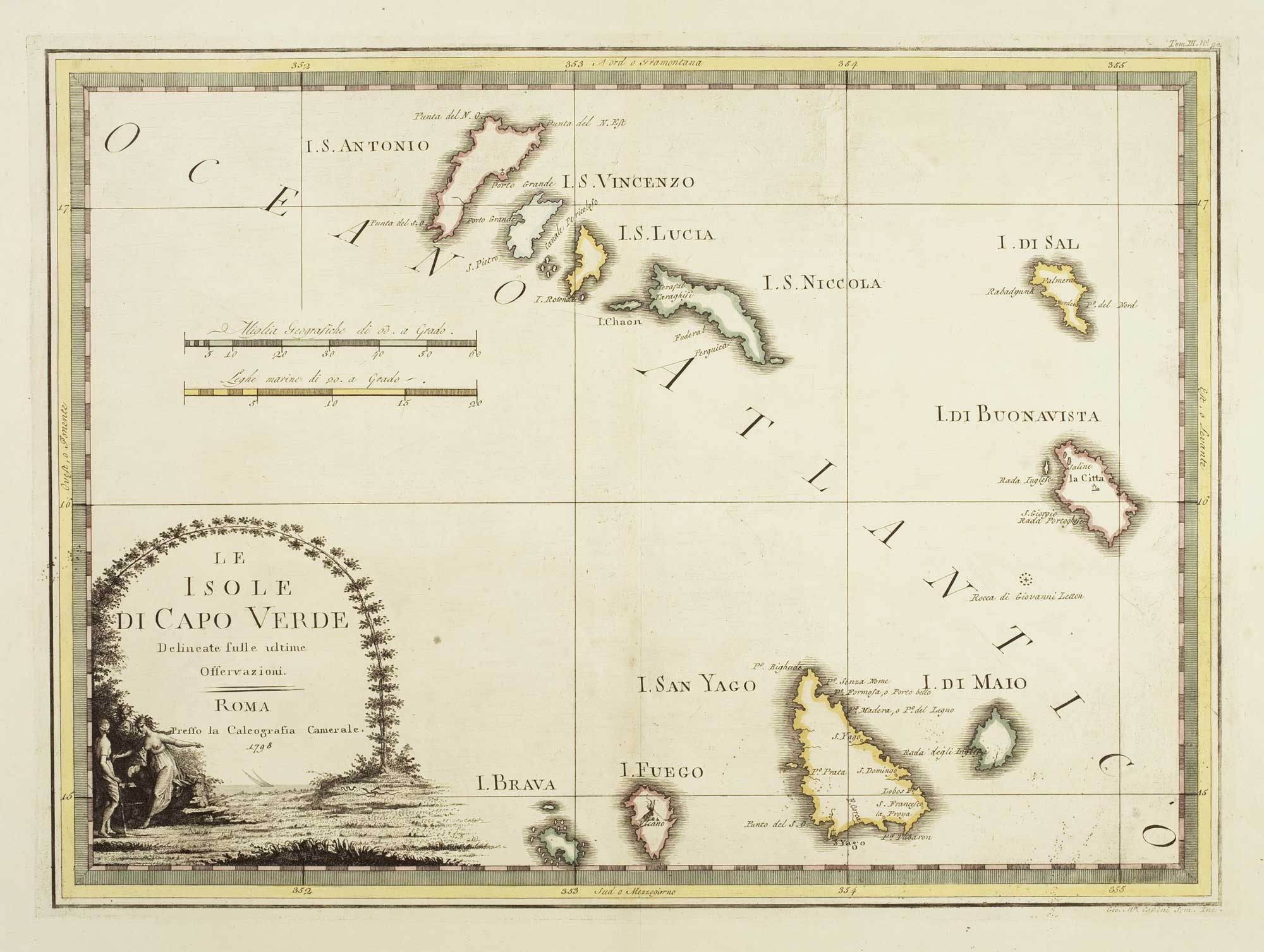


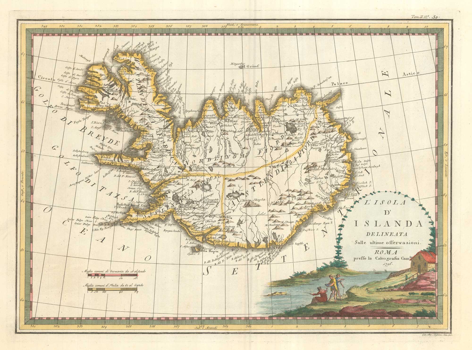
The Cape Verde Islands
Le Isole di Capo Verde Delineate sulle Ultime Osservazioni.
Rome, 1798. 375 x 515mm.
£320.00
Description
A rare and decorative map of the Cape Verde Islands, from the 'Nuovo Atlante Geografico Universale'.
Condition:
A good example.Related products
-
17th century map of Madagascar
CORONELLI, Vincenzo Maria. Date: 1690Stock #: 22294 £550.00 -
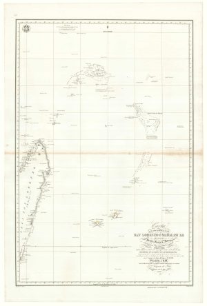
A Spanish sea chart of Madagascar and the Seychelles
OWEN, William Fitzwilliam. Date: 1845Stock #: 18237 £1,600.00 -
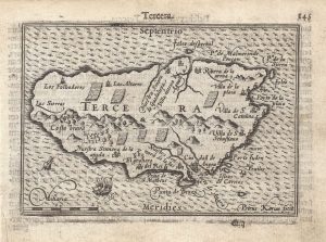
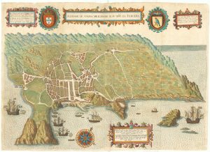
A 16th century miniature map of Terceira
LANGENES, Barent. Date: 1599Stock #: 21295 £150.00 -
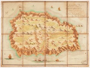
Read’s map of Napoleon’s exile on St Helena, First State
READ, R.P. Date: 1815Stock #: 22660 £1,200.00 -
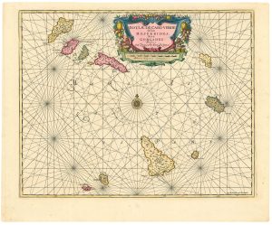
Dutch sea chart of the Cape Verde Islands
JANSSON, Jan. Date: 1730Stock #: 24813 £500.00 -
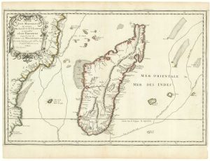
First state of Du Val’s folio map of Madagascar
DU VAL, Pierre. Date: 1666Stock #: 19085 £400.00 -
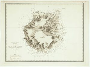
An uncommon Spanish sea chart of Gran Canaria
ARLETT, William. Date: 1868Stock #: 12572 £1,400.00 -
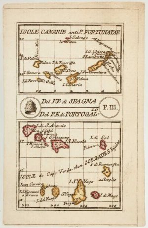
An 18th century playing-card map of the Canaries and Cape Verde Islands
RABATTA, Augusto & BAILOU, Jean Baptist de. Date: 1779Stock #: 13004 £350.00 -
Early map of Tercera
LINSCHOTEN, Jan Huygen van. Date: 1601Stock #: 19798 £900.00
Items by the same author
[ti_wishlists_addtowishlist]
[ti_wishlists_addtowishlist]
[ti_wishlists_addtowishlist]
[ti_wishlists_addtowishlist]
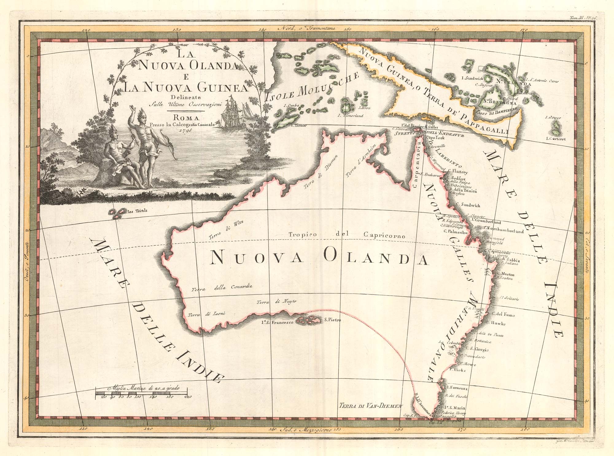
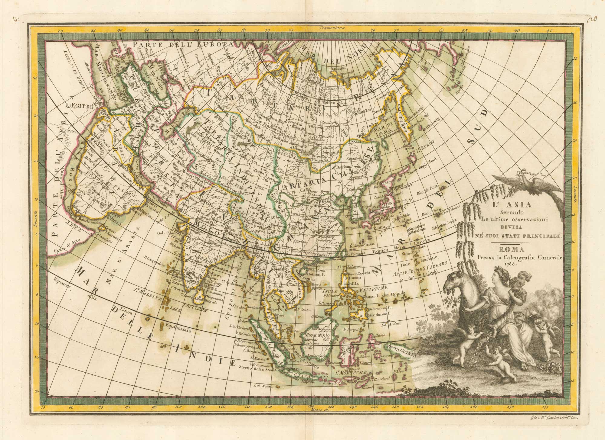
One of the most decorative maps of Australia
CASSINI, Giovanni Maria. Date: 1798 Stock #: 17956 £3,750.00
[ti_wishlists_addtowishlist]
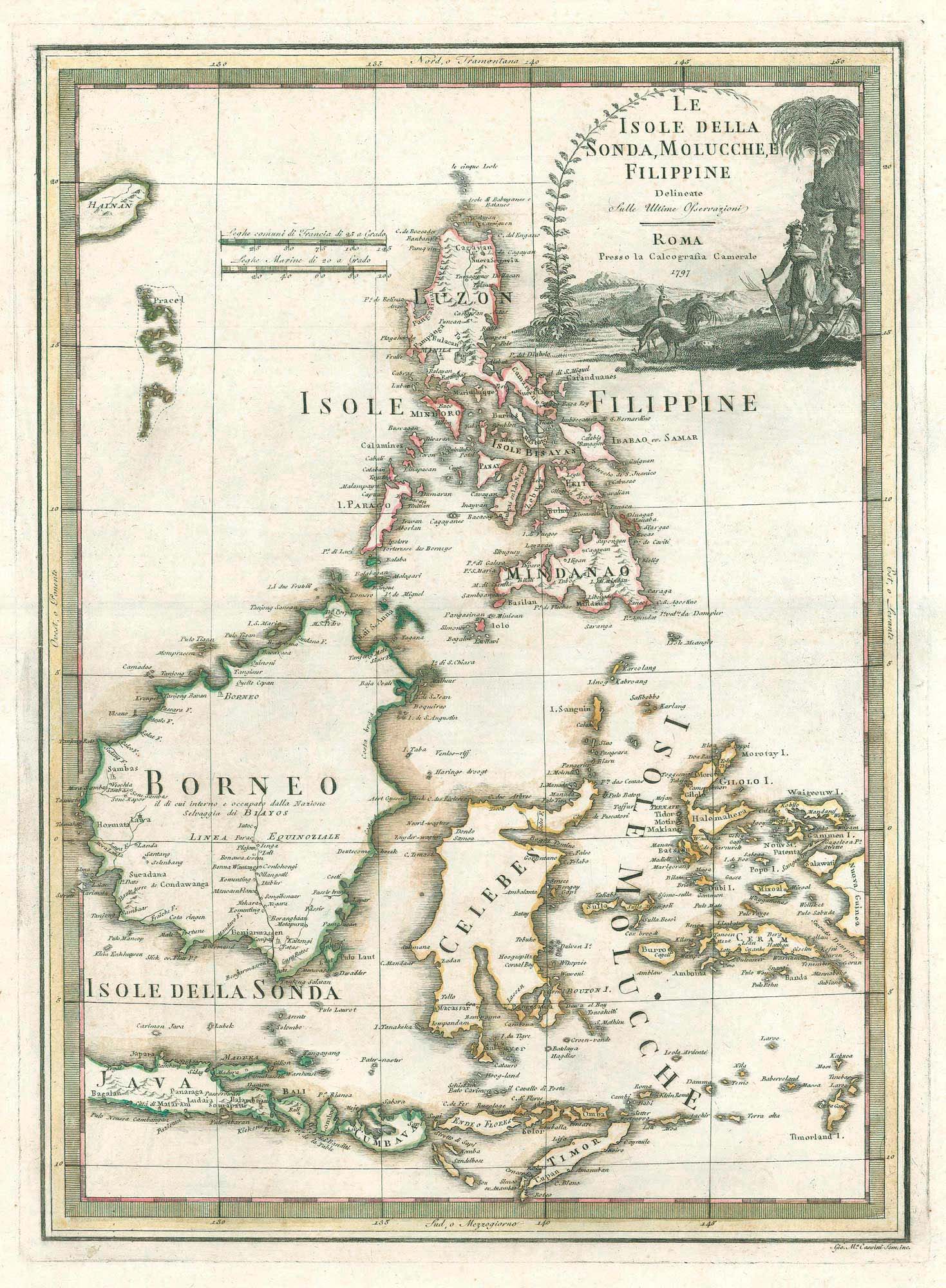
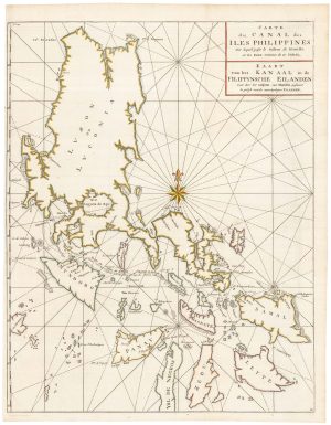
A scarce 18th century Italian map of the Philippines and Indonesia
CASSINI, Giovanni Maria. Date: 1797 Stock #: 18460 £1,400.00
[ti_wishlists_addtowishlist]