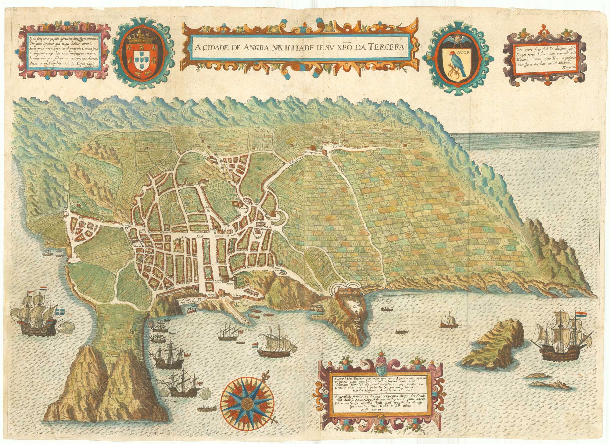


Early map of Tercera
A Cidade de Angra na Ilha de Iesu Xpo Da Tercera.
Frankfurt: Johann Theodore de Bry, 1601. Coloured. Two sheets conjoined, total 395 x 560mm.
£900.00
Description
A reduced version of Linschoten's map, acknowledged by de Bry in the lower text box, showing the island of Tercera, a major stopping place for ships en route to the Americas and Far East. Published in de Bry's 'Tertia Pars Indiae Orientas'
Condition:
Minor repairs on binding folds.Related products
-
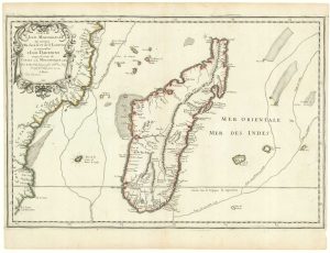
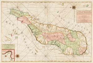
First state of Du Val’s folio map of Madagascar
DU VAL, Pierre. Date: 1666Stock #: 19085 £400.00 -
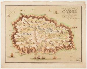
Read’s map of Napoleon’s exile on St Helena, Second State
READ, R.P. Date: 1817Stock #: 22662 £1,200.00 -
Mortier’s sea chart of Madagascar in full original colour
MORTIER, Pierre. Date: 1700Stock #: 14518 £1,100.00 -
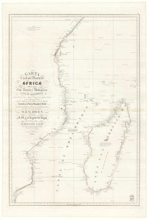
A Spanish sea chart of Madagascar and Mozambique
OWEN, William Fitzwilliam. Date: 1845Stock #: 18236 £1,300.00 -
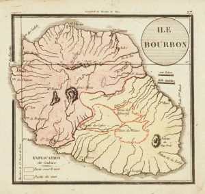
Map of Reunion
Anonymous. Date: 1820Stock #: 13520 £130.00 -
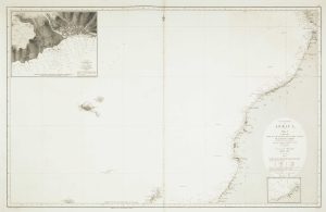
Sea chart of the African coast with Madeira
VIDAL, Alexander & ARLETT, William. Date: 1867Stock #: 12593 £400.00 -
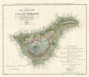
A botanist’s map of Tenerife
BERTELOT, Sabin. Date: 1835Stock #: 18450 £850.00 -
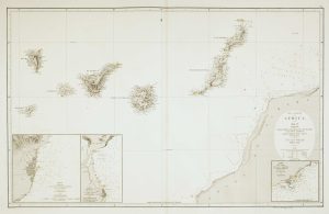
An uncommon 19th century Spanish sea chart of the Canary Islands
VIDAL, Alexander & ARLETT, William. Date: 1855Stock #: 12566 £1,450.00 -
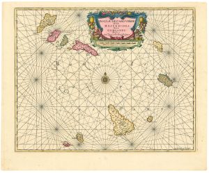
Dutch sea chart of the Cape Verde Islands
JANSSON, Jan. Date: 1730Stock #: 24813 £500.00
Items by the same author
[ti_wishlists_addtowishlist]
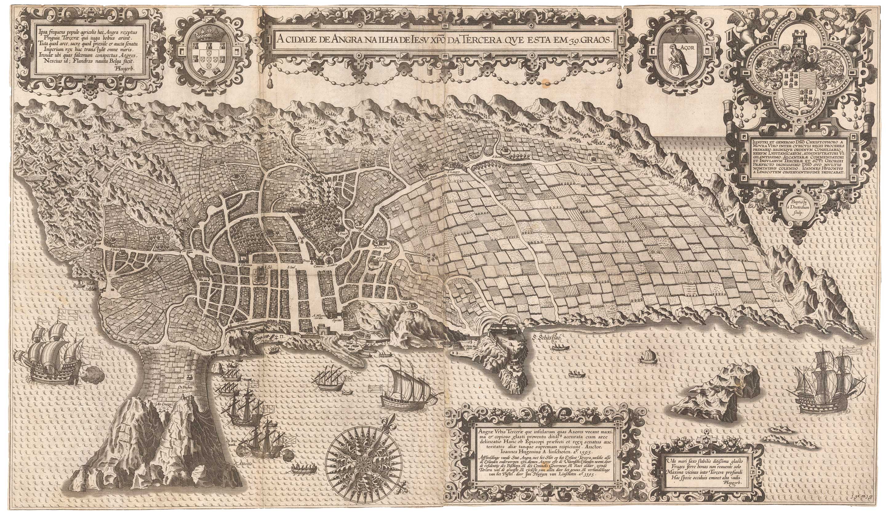
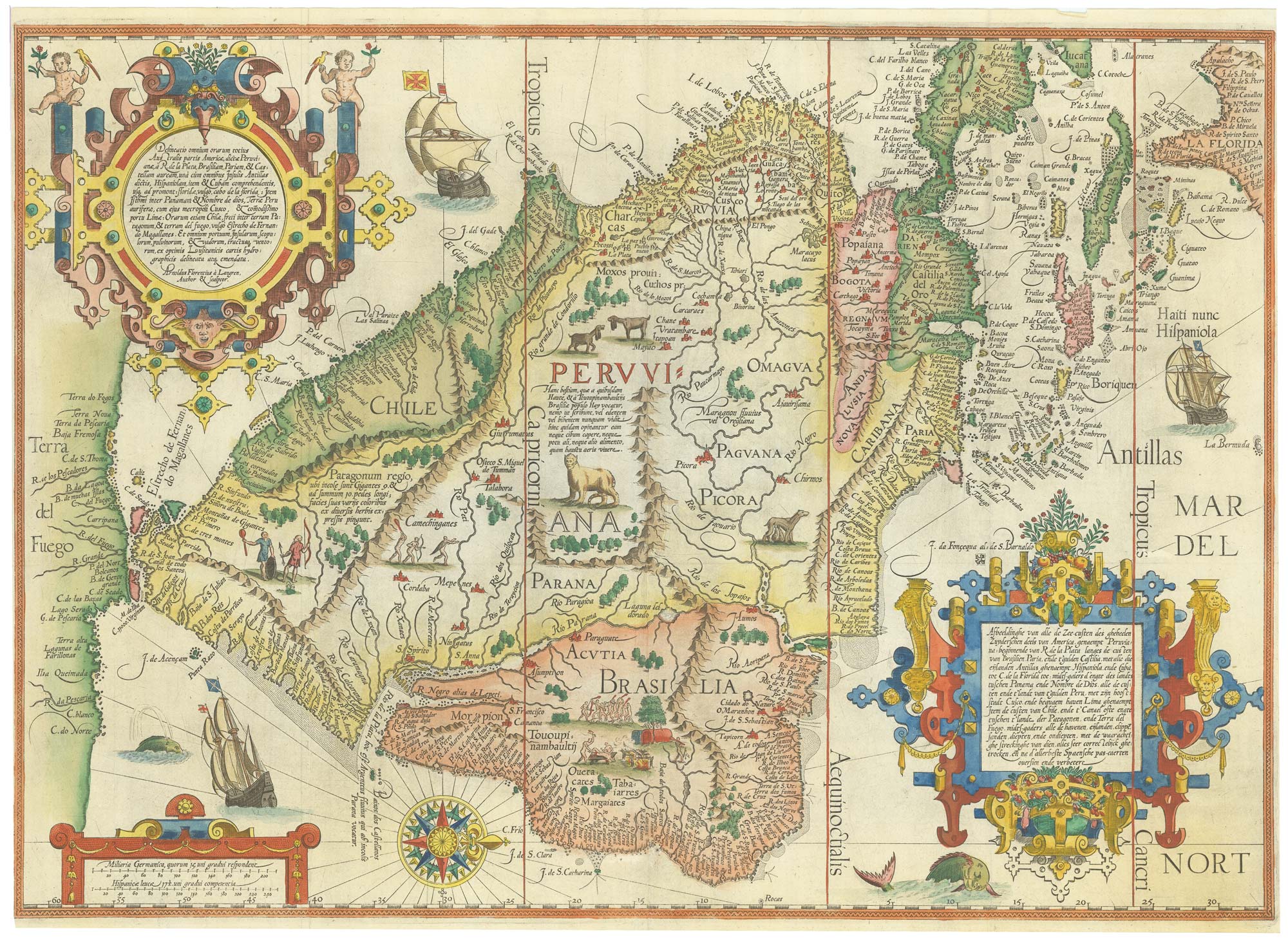
An important 16th century plan of Angra
LINSCHOTEN, Jan Huygen van. Date: 1595 Stock #: 23737 £2,800.00
[ti_wishlists_addtowishlist]