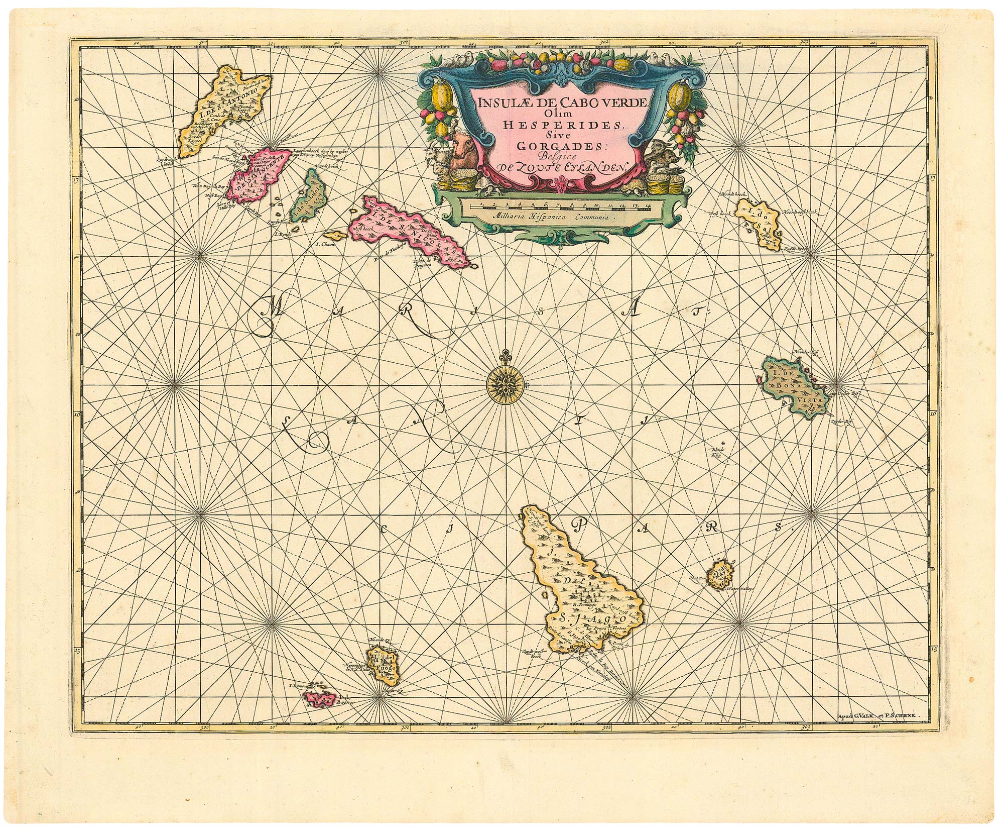


Dutch sea chart of the Cape Verde Islands
Insulae de Cabo Verde Olim Hesperides, Sive Gorgades Belgice De Zoute Eylanden.
Amsterdam: Schenk & Valk, c.1730. Original colour. 440 x 545mm.
£500.00
Description
A fine chart of the Cape Verde Islands, with a fine title cartouche in full colour, first published in 1659.
Condition:
A good example.Related products
-
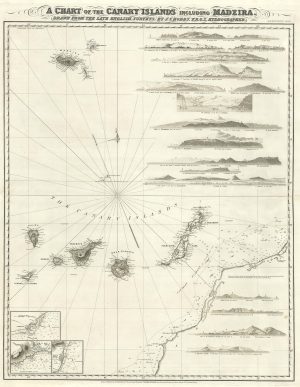
An uncommon 19th century Spanish sea chart of three of the Canary Islands
VIDAL, Alexander. Date: 1868Stock #: 12573 £800.00 -
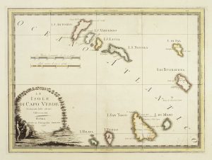
The Cape Verde Islands
CASSINI, Giovanni Maria. Date: 1798Stock #: 7825 £320.00 -
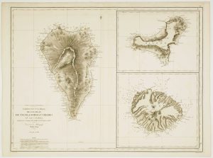
A detailed chart of the Canary Islands and Madeira
HOBBS, John Stratton. Date: 1852Stock #: 19402 £1,650.00 -
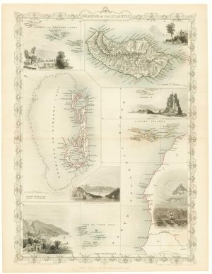
Maps of Bermuda and other islands in the Atlantic
TALLIS, John. Date: 1851Stock #: 17752 £100.00 -
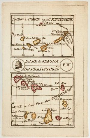
An 18th century playing-card map of the Canaries and Cape Verde Islands
RABATTA, Augusto & BAILOU, Jean Baptist de. Date: 1779Stock #: 13004 £350.00 -
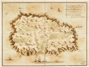
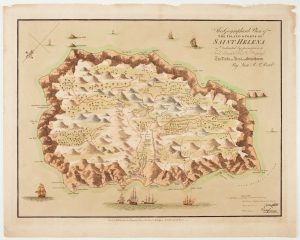
Napoleon in exile on St Helena
READ, R.P. Date: 1815Stock #: 22661 £1,400.00 -
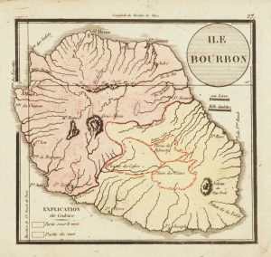
Map of Reunion
Anonymous. Date: 1820Stock #: 13520 £130.00 -
Read’s map of Napoleon’s exile on St Helena, Second State
READ, R.P. Date: 1817Stock #: 22662 £1,200.00 -
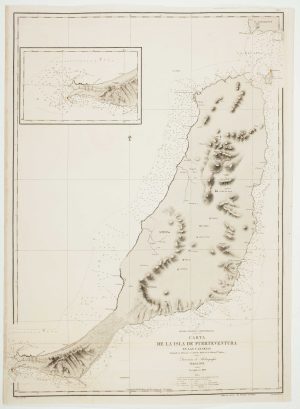
An uncommon 19th century Spanish sea chart of Fuerteventura
ARLETT, William. Date: 1868Stock #: 12576 £1,500.00
Items by the same author
[ti_wishlists_addtowishlist]

A magnificent example of the first folio sea atlas of the World
JANSSON, Jan. Date: 1650 Stock #: 23074 £47,500.00
[ti_wishlists_addtowishlist]
[ti_wishlists_addtowishlist]

[ti_wishlists_addtowishlist]

[ti_wishlists_addtowishlist]

[ti_wishlists_addtowishlist]
