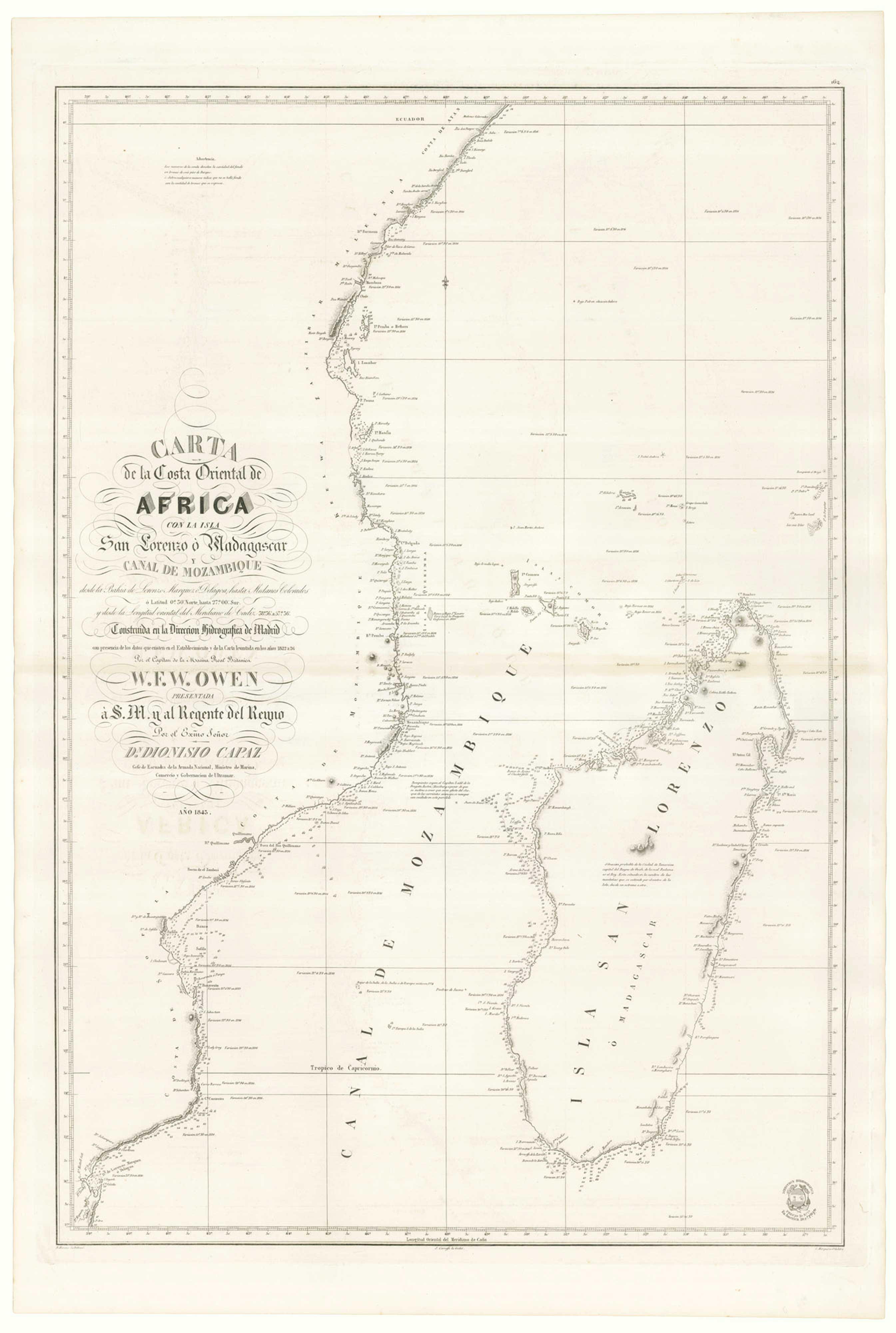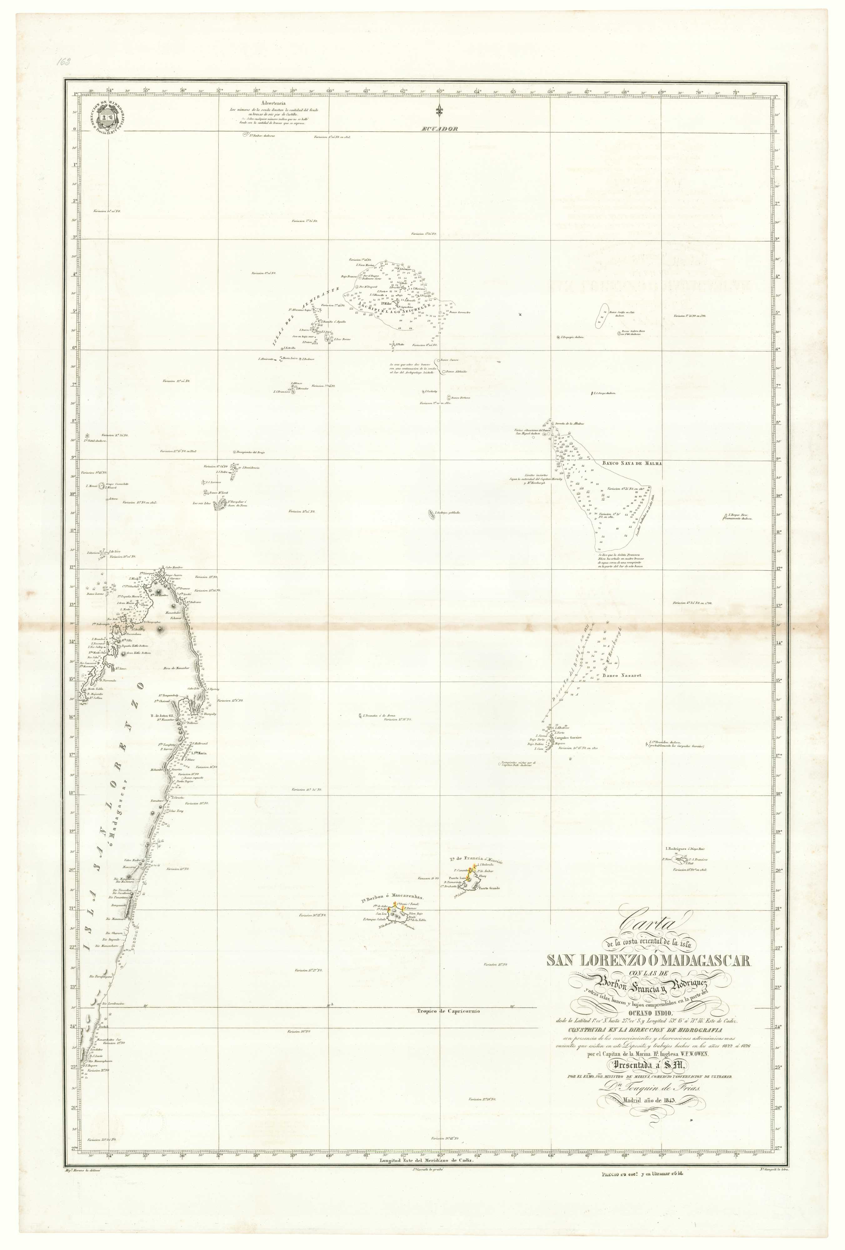


A Spanish sea chart of Madagascar and the Seychelles
Carta de la costa oriental de la isla San Lorenzo ò Madagascar con las de Borbon Francia y Rodriguez y otras islas, bancos y bajos comprendidos en la partie del Oceano Indio....
Madrid: Direccion de Hidrografia, 1843. 890 x 600mm. With the blindstamp of the Direccion de Hidrografia.
£1,600.00
1 in stock
x
Question About This Item?
A Spanish sea chart of Madagascar and the Seychelles & OWEN, William Fitzwilliam.Stock #: 18237Similar to Sell?
Description
A scarce Spanish edition of a chart by Royal Navy Captain William Owen surveyed between 1822 and 1826. It shows the eastern coastline of Madagascar, Mauritius, Reunion and the Seychelles.
Owen carried out extensive hydrographic surveys in South Africa and Canada and ended his career as later vice-admiral.
Condition:
Browning at centre fold.Related products
-
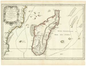
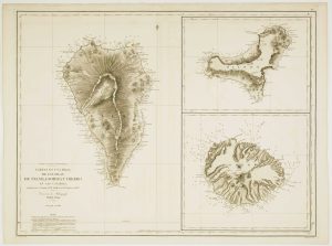
First state of Du Val’s folio map of Madagascar
DU VAL, Pierre. Date: 1666Stock #: 19085 £400.00 -
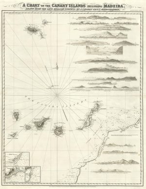
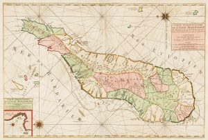
A detailed chart of the Canary Islands and Madeira
HOBBS, John Stratton. Date: 1852Stock #: 19402 £1,650.00 -
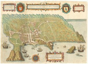
Early map of Tercera
LINSCHOTEN, Jan Huygen van. Date: 1601Stock #: 19798 £900.00 -
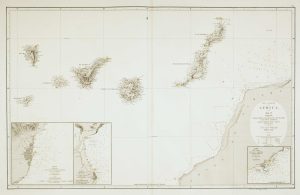
An uncommon 19th century Spanish sea chart of three of the Canary Islands
VIDAL, Alexander. Date: 1868Stock #: 12573 £800.00 -
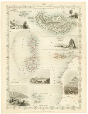
Maps of Bermuda and other islands in the Atlantic
TALLIS, John. Date: 1851Stock #: 17752 £100.00 -
Mortier’s sea chart of Madagascar in full original colour
MORTIER, Pierre. Date: 1700Stock #: 14518 £1,100.00 -
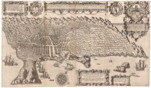
An important 16th century plan of Angra
LINSCHOTEN, Jan Huygen van. Date: 1595Stock #: 23737 £2,800.00 -
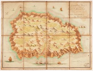
Read’s map of Napoleon’s exile on St Helena, First State
READ, R.P. Date: 1815Stock #: 22660 £1,200.00 -
An uncommon 19th century Spanish sea chart of the Canary Islands
VIDAL, Alexander & ARLETT, William. Date: 1855Stock #: 12566 £1,450.00
Items by the same author
[ti_wishlists_addtowishlist]