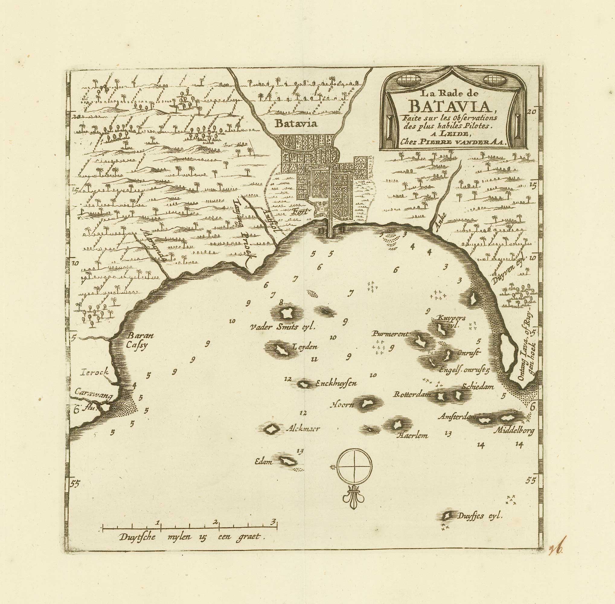


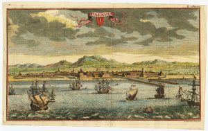
Early 18th century map of Batavia
La rade de Batavia
Leyden, c. 1725. 195 x 160mm, with wide margins.
£200.00
Description
Map of Batavia from the scarce 'La Galerie Agreable du Monde', which was published by van der AA in sixty-six parts.
Condition:
A good example.Related products
-
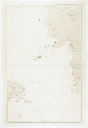
Sea chart of the Lesser Sunda Islands
RIUDAVETS, José Maria. Date: 1863Stock #: 12460 £500.00 -
Sea chart of the Makassar Strait
BRYANT, Tomas. Date: 1863Stock #: 12464 £650.00 -
Sea chart of the Karimata Strait
HORTIGOSA, P. Date: 1866Stock #: 12471 £350.00 -
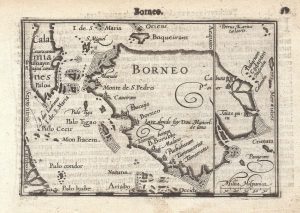
The first printed map of Borneo
LANGENES, Barent. Date: 1599Stock #: 21269 £320.00 -
18th century view of the Dutch city of Batavia
SALMON, Thomas. Date: 1753Stock #: 23642 £160.00 -
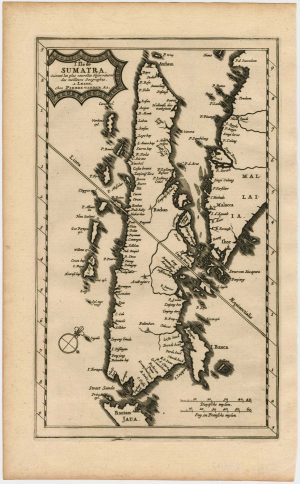
Map of Sumatra and the Malay Peninsula
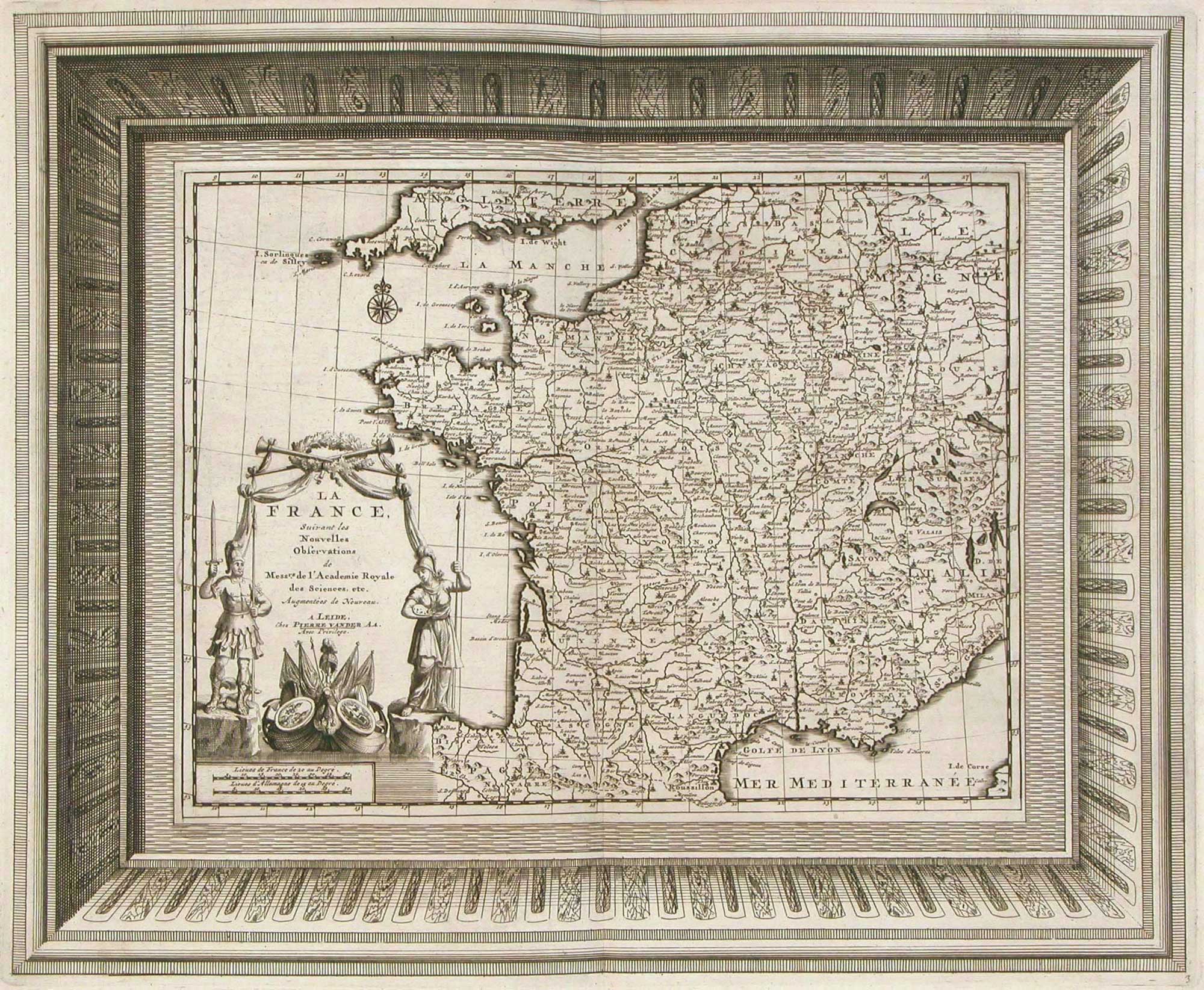
AA, Pieter van der. Date: 1714Stock #: 23647 £425.00 -

Pair of sea charts of the Makassar Strait
BRYANT, Tomas. Date: 1863Stock #: 12474 £650.00 -
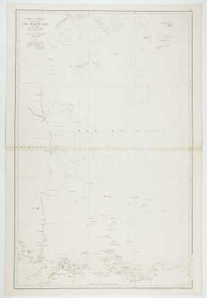
Sea chart of the western Java Sea
DE LORENZO, J. Date: 1863Stock #: 12468 £350.00 -
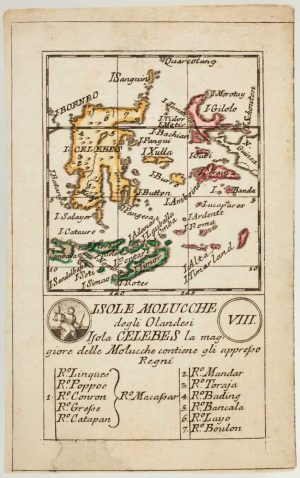
An 18th century playing-card map of Indonesia
RABATTA, Augusto & BAILOU, Jean Baptist de. Date: 1779Stock #: 13008 £180.00
Items by the same author
[ti_wishlists_addtowishlist]

A fine plan of Rome after Falda with exceptional colouring
AA, Pieter van der. Date: 1695 Stock #: 25236 £3,000.00
[ti_wishlists_addtowishlist]
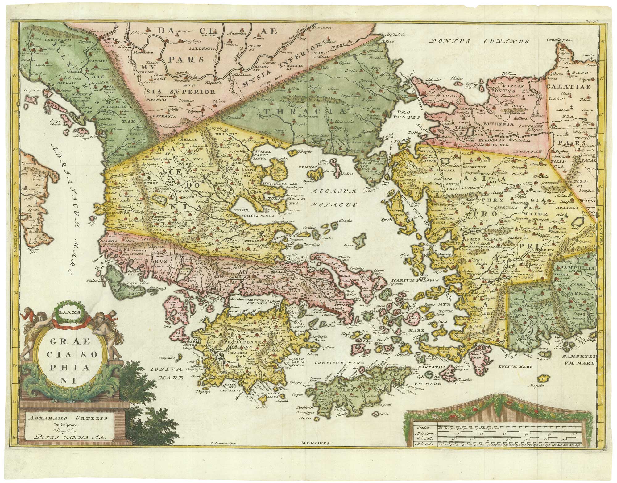
Early 18th century map of Ancient Greece after Ortelius
AA, Pieter van der. Date: 1712 Stock #: 21219 £400.00
[ti_wishlists_addtowishlist]
[ti_wishlists_addtowishlist]
[ti_wishlists_addtowishlist]
[ti_wishlists_addtowishlist]