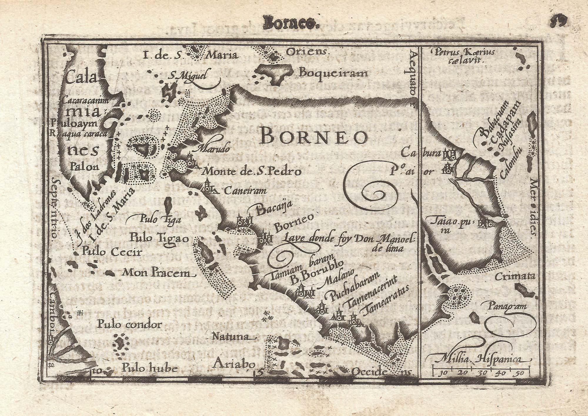


The first printed map of Borneo
Borneo.
Amsterdam, Cornelis Claez, 1599, Dutch text edition. 85 x 125mm, with letterpress surtitle and pagination.
£320.00
Description
A scarce map of Borneo, orientated with north to the left, engraved by Pieter van den Keere for the 1598 'Caert-Thresoor', with a text by an unknown author. Despite being published only a year after the first edition, this is a second state: the bottom border has been re-engraved with latitude graduations.
By 1600 this map was being published in the 'Tabularum Geographicarum Contractarum' with a text by Petrus Bertius, and in 1616 a new plate was engraved by Jodocus Hondius II, slightly larger and with wider borders with scales of longitude and latitude.
Condition:
A good example.Related products
-
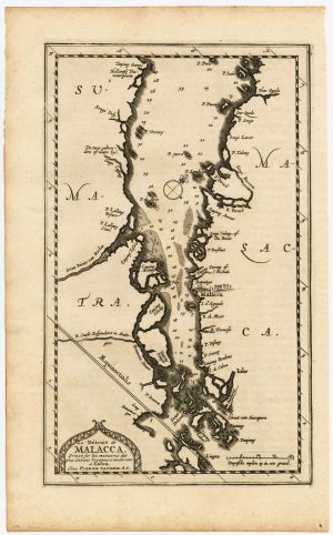
The Strait of Malacca & Singapore
AA, Pieter van der. Date: 1714Stock #: 23646 £475.00 -
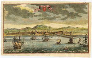
18th century view of the Dutch city of Batavia
SALMON, Thomas. Date: 1753Stock #: 23642 £160.00 -
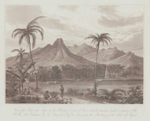
A view of Anjer-Lor, western Java
DANIELL, William. Date: 1830Stock #: 20078 £150.00 -
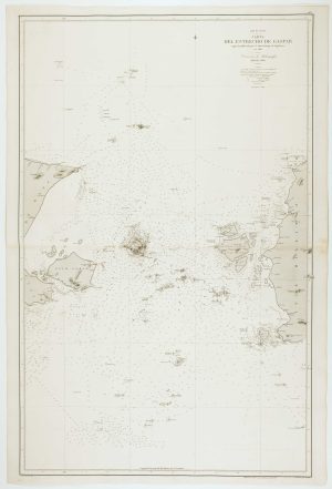
Spanish Sea chart of the Gaspar Strait
ESTRUCHE, J. Date: 1862Stock #: 12469 £450.00 -
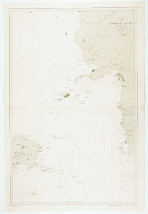
Pair of sea charts of the Anambas Islands
HORTIGOSA, P. Date: 1844Stock #: 12472 £600.00 -
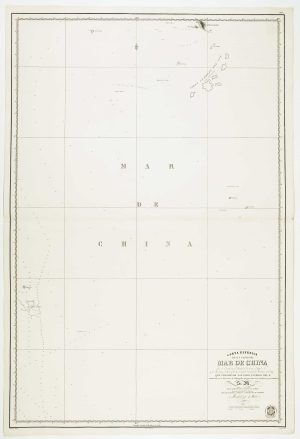
Sea chart of the Karimata Strait
HORTIGOSA, P. Date: 1866Stock #: 12471 £350.00 -
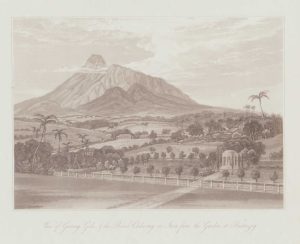
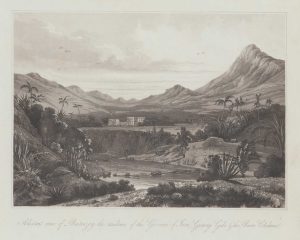
A view from Buitenzorg in Bogor, Java
DANIELL, William. Date: 1830Stock #: 20076 £150.00 -
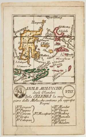
An 18th century playing-card map of Indonesia
RABATTA, Augusto & BAILOU, Jean Baptist de. Date: 1779Stock #: 13008 £180.00 -
A view of Buitenzorg in Bogor, Java
DANIELL, William. Date: 1830Stock #: 20077 £150.00
Items by the same author
[ti_wishlists_addtowishlist]

[ti_wishlists_addtowishlist]

A 16th century miniature map of Saxony, Thuringia & Meissen
LANGENES, Barent. Date: 1599 Stock #: 21173 £50.00
[ti_wishlists_addtowishlist]

[ti_wishlists_addtowishlist]

[ti_wishlists_addtowishlist]

A 16th century miniature map of the Comtat Venaissin
LANGENES, Barent. Date: 1599 Stock #: 21137 £55.00
[ti_wishlists_addtowishlist]
