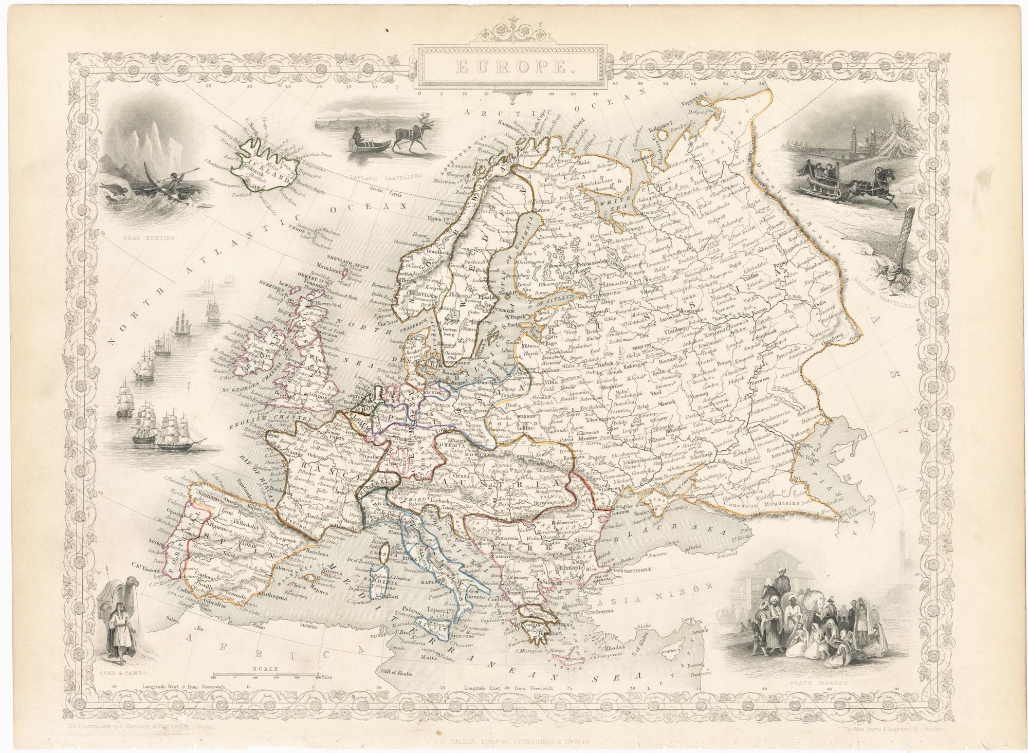


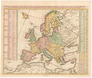
Mid 19th century map of Europe with decorative vignettes
Europe.
London: J. & F. Tallis, 1851. Steel engraving with original outline colour. Printed area 270 x 330mm.
£180.00
1 in stock
x
Question About This Item?
Mid 19th century map of Europe with decorative vignettes & TALLIS, John.Stock #: 23487Similar to Sell?
Description
A detailed Victorian map of Europe within an ornate border, decorated with five vignettes including sledges, seal hunting, an Arab slave market and a naval fleet.
The map was drawn and engraved by John Rapkin for the 'The Illustrated Atlas, and Modern History of the World, Geographical Political, Commercial & Statistical', edited by Montgomery Martin, which was one of the last decorative atlases to be published.
Condition:
Stitch holes bottom margin.Related products
-
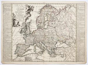
A map of Europe in the late 18th century
NOLIN, Jean Baptiste. Date: 1795Stock #: 24501 £500.00 -
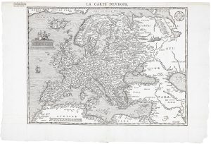
A scarce woodcut map of Europe
BELLEFOREST, François de. Date: 1575Stock #: 20432 £1,200.00 -

A wall map of Europe according to the Congress of Vienna
TRAUX, Maximilian de. Date: 1818Stock #: 17177 £1,400.00 -
A mid-18th century map of Europe showing the spread of religions
HAAS, Johann Matthias. Date: 1662Stock #: 23322 £650.00 -
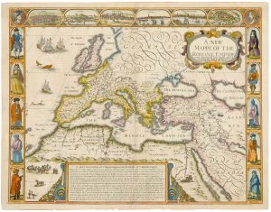
A 17th century map of the Roman Empire
SPEED, John. Date: 1676Stock #: 25079 £1,500.00 -
An 18th century map of Europe
CHATELAIN, Henri Abraham. Date: 1747Stock #: 23391 £500.00 -

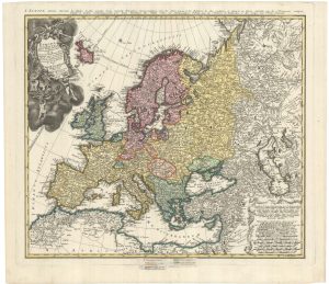
An exceptional 17th century sea chart of Europe
DE WIT, Frederick. Date: 1675Stock #: 23450 £7,500.00 -

A decorative map of the continent of Europe
LEVASSEUR, Victor. Date: 1850Stock #: 14176 £200.00 -

17th century English carte à figure map of Europe
SPEED, John. Date: 1665Stock #: 23986 £2,600.00
Items by the same author
[ti_wishlists_addtowishlist]

Mid 19th century map of Ireland with decorative vignettes
TALLIS, John. Date: 1851 Stock #: 21568 £240.00
[ti_wishlists_addtowishlist]

A mid-19th century map of Germany with decorative vignettes
TALLIS, John. Date: 1851 Stock #: 23486 £120.00
[ti_wishlists_addtowishlist]

[ti_wishlists_addtowishlist]

[ti_wishlists_addtowishlist]

Mid 19th century map of Greece with decorative vignettes
TALLIS, John. Date: 1851 Stock #: 23523 £140.00
[ti_wishlists_addtowishlist]
