

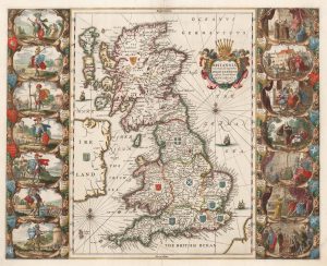
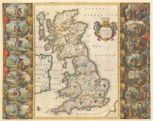
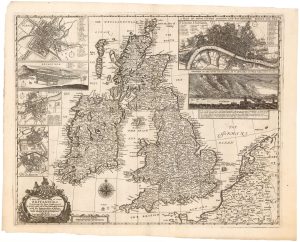
A Victorian educational map of the British Isles
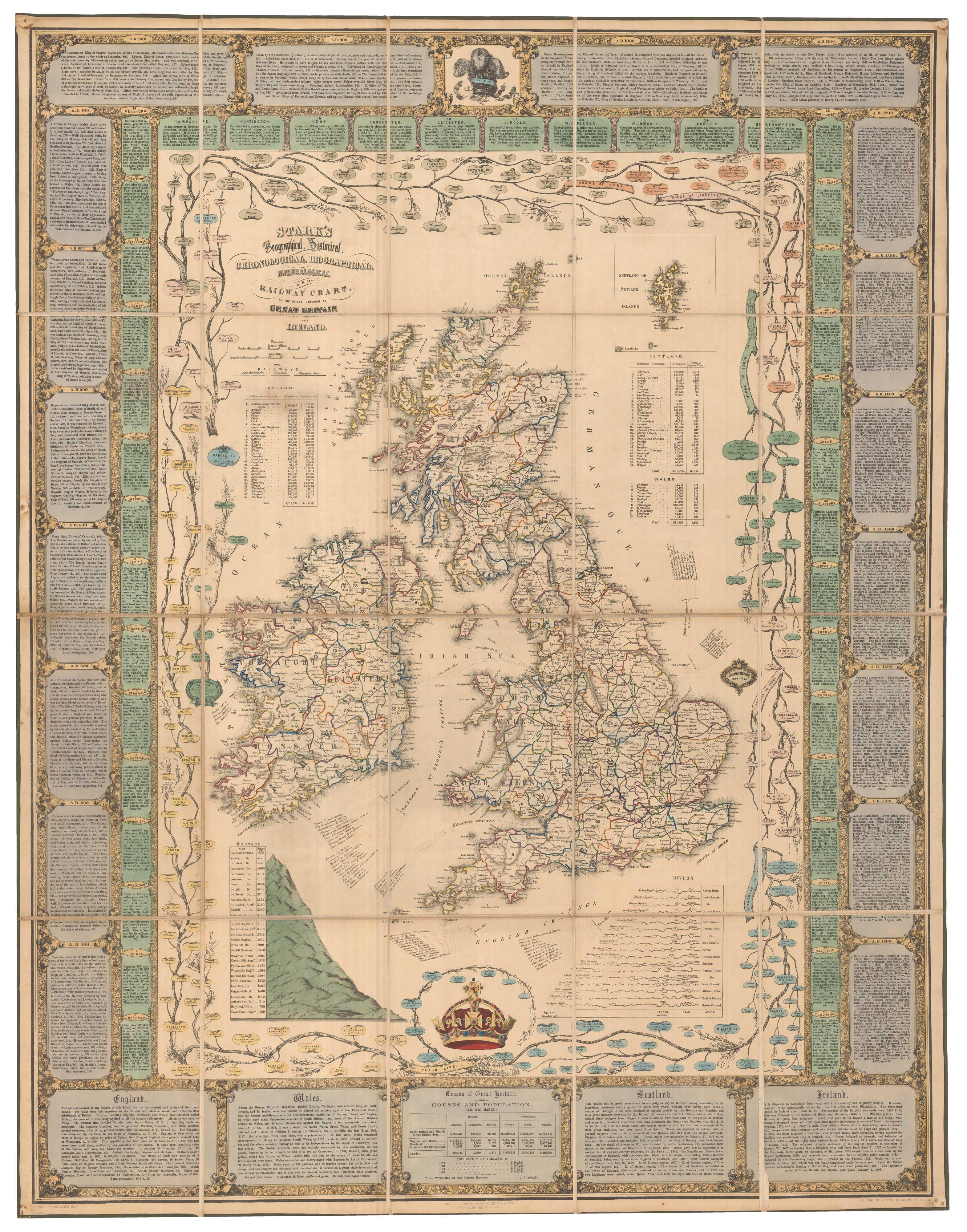
Stark's Geographical, Historical, Chronological, Biographical, Mineralogical and Railway Chart of the United Kingdom of Great Britain and Ireland.
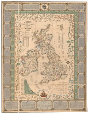
Glasgow: J. Stark, 1851. Lithographic map with original hand colour. Dissected and laid on linen, total 1020 x 795mm, folded into the original covers.
£1,700.00
1 in stock
x
Question About This Item?
A Victorian educational map of the British Isles & STARK, J.Stock #: 24080Similar to Sell?
Description
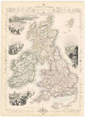
A large map of the British Isles, surrounded by a very decorative border filled with panels of text, including important events, descriptions of the home countries and the counties of England. Just inside the border are the branches of a family tree of the British monarchy, starting with the Saxon kings and ending with the children of Queen Victoria, and tables of mountain heights and river lengths. Two vignettes depict the queen's crown and the Prince of Wales's feathers.
Condition:
A good example.Related products
-
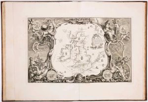
19th century decorative map of the British Isles
TALLIS, John. Date: 1851Stock #: 23507 £260.00 -
The story of the Spanish Armada from the House of Lords tapestries
PINE, John. Date: 1739Stock #: 14002 £16,000.00 -
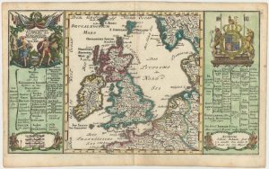
Early 18th century map of the British Isles
BODENEHR, Gabriel. Date: 1704Stock #: 25105 £350.00 -
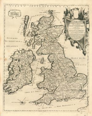
A scarce Italian map of the British Isles
PETRINI, Paolo. Date: 1717Stock #: 24923 £750.00 -
The Saxon Heptarchy
JANSSON, Jan. Date: 1700Stock #: 18100 £1,800.00 -
The famous map depicting Anglo-Saxon Britain
BLAEU, Johannes. Date: 1646Stock #: 23593 £2,500.00 -
16th century Dutch map of the British Isles
ORTELIUS, Abraham. Date: 1585Stock #: 22753 £1,600.00 -
A Dutch map of the British Isles, celebrating the Glorious Revolution
ALLARD, Carel. Date: 1690Stock #: 22276 £2,000.00 -
A rare map of the British Isles with a prospect of the Great Fire of 1666
HOLLAR, Wenceslaus. Date: 1667Stock #: 24086 £12,000.00