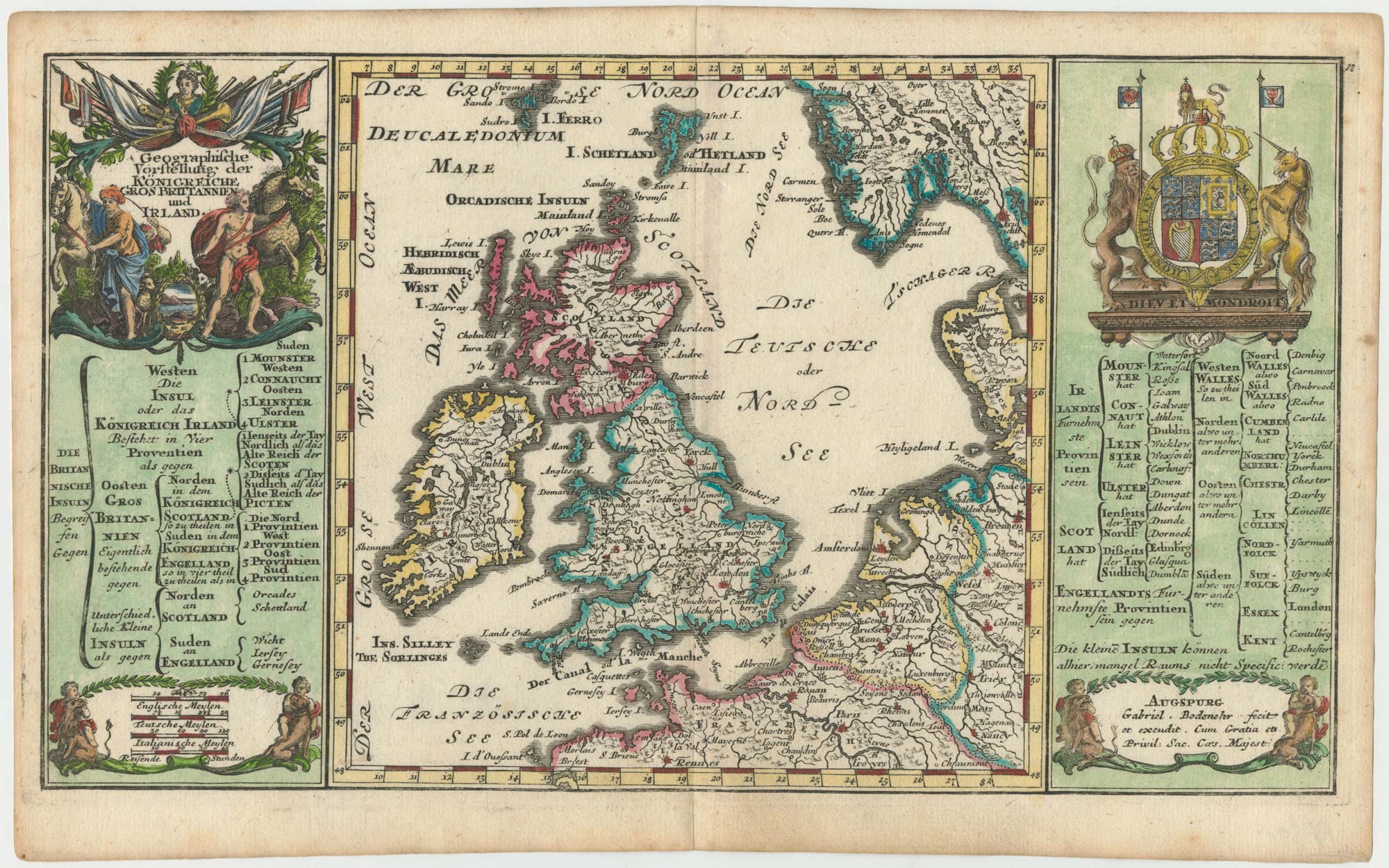


Early 18th century map of the British Isles
Geographische Vorstellung der Königreiche Großbritannien und Irland
Augsburg, c.1704. Coloured. 180 x 310mm.
£350.00
1 in stock
x
Question About This Item?
Early 18th century map of the British Isles & BODENEHR, Gabriel.Stock #: 25105Similar to Sell?
Description
The British Isles, flanked by two text panels detailing the division and principal cities of the British Isles, headed by a large baroque title cartouche and the Royal Arms.
Condition:
A very fine example.Related products
-
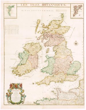
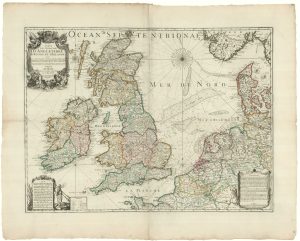
Mid-18th century wall map of the British Isles
DESNOS, Louis Charles. Date: 1766Stock #: 16860 £2,500.00 -
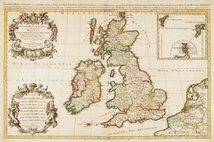
17th century map of the British Isles on two sheets
JAILLOT, Alexis-Hubert. Date: 1696Stock #: 14463 £1,200.00 -
The Saxon Heptarchy
JANSSON, Jan. Date: 1700Stock #: 18100 £1,800.00 -
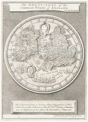
The Great Seal of the Commonwealth, 1651
SIMON, Thomas. Date: 1753Stock #: 17363 £650.00 -
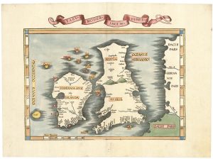
The route of Saint Ursula and the 11,000 virgin martyrs
HOGENBERG, Abraham. Date: 1647Stock #: 23910 £800.00 -
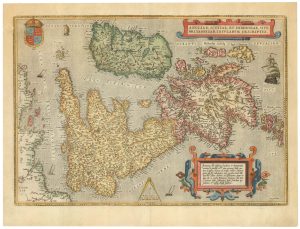
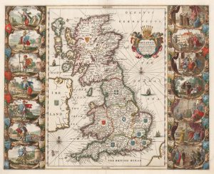
16th century Dutch map of the British Isles
ORTELIUS, Abraham. Date: 1585Stock #: 22753 £1,600.00 -
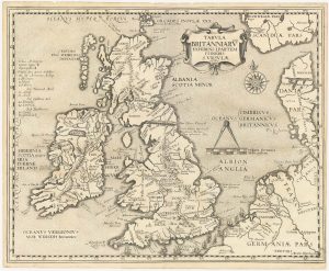
Waldseemuller’s ‘modern’ map of the British Isles
WALDSEEMULLER, Martin. Date: 1535Stock #: 22846 £2,250.00 -
Inselin’s Jacobite map of the British Isles
INSELIN, Charles. Date: 1715Stock #: 20556 £2,200.00 -
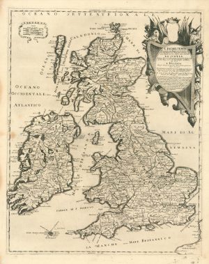
A scarce Italian map of the British Isles
PETRINI, Paolo. Date: 1717Stock #: 24923 £750.00
Items by the same author
[ti_wishlists_addtowishlist]

[ti_wishlists_addtowishlist]
