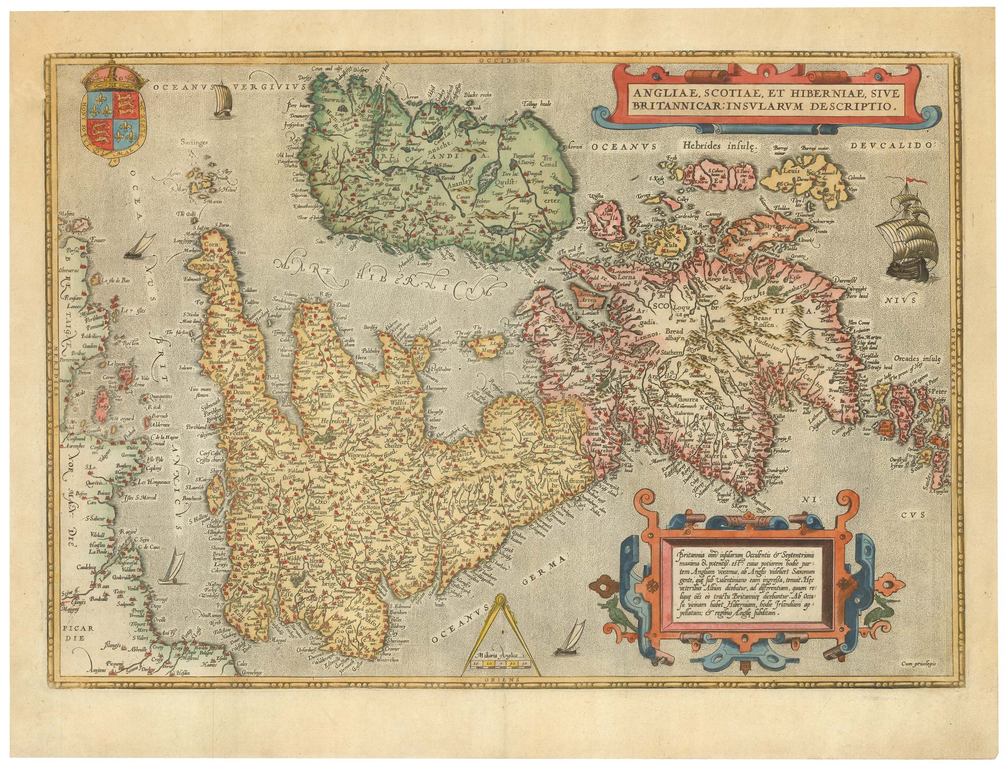


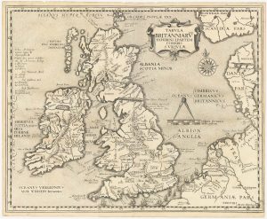
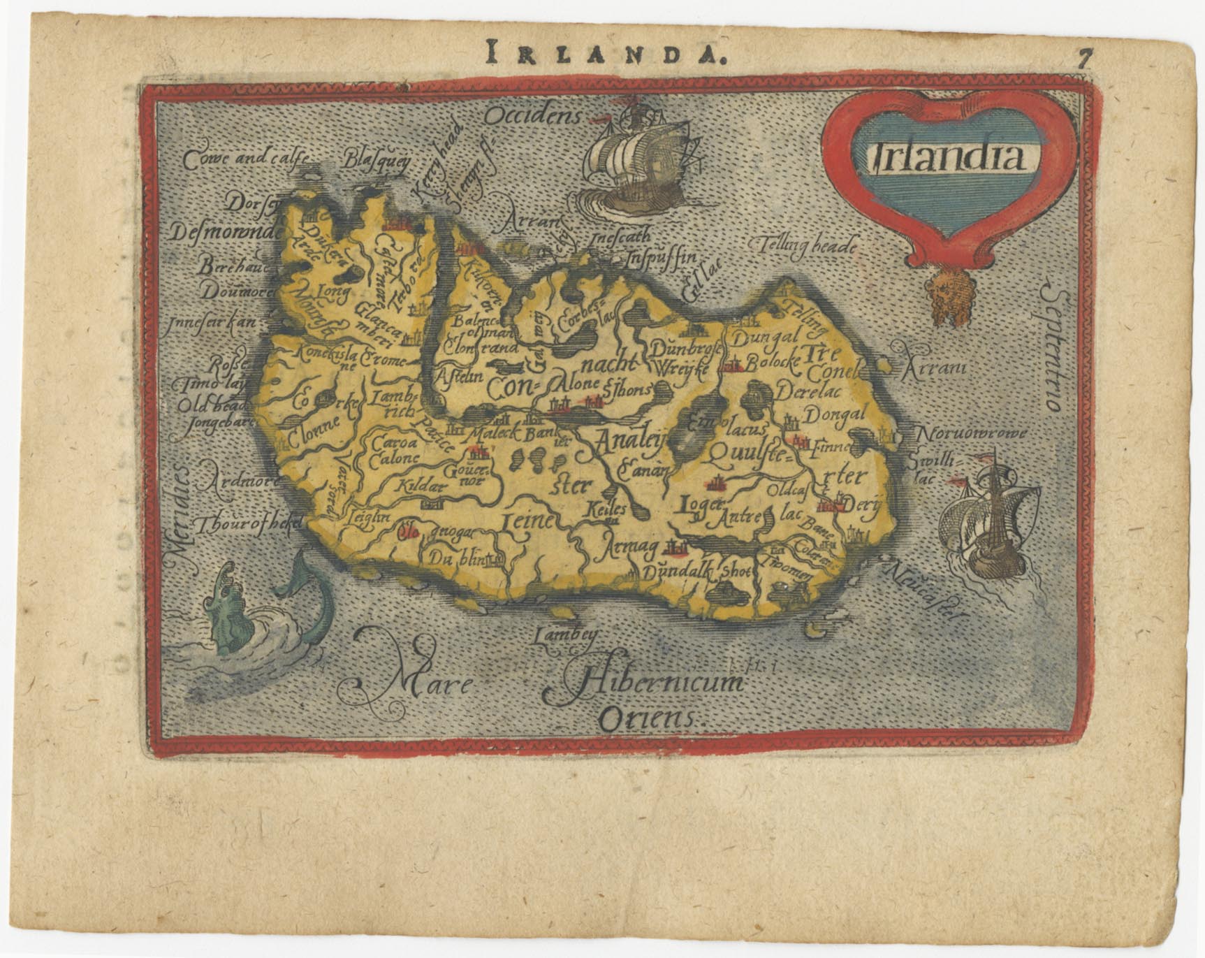
16th century Dutch map of the British Isles
Angliae, Scotiae, et Hiberniae, Sive Britannicar: Insularum Descriptio.
Antwerp: 1585, Latin edition. Original colour with additions. 345 x 500mm.
£1,600.00
1 in stock
x
Question About This Item?
16th century Dutch map of the British Isles & ORTELIUS, Abraham.Stock #: 22753Similar to Sell?
Description
A very fine example of this classic collector's map of the British Isles, published in the 'Theatrum Orbis Terrarum', regarded as the first modern atlas. The map was oriented with north to the right so that the map fitted the sheet of paper, as it predates the convention of north to the top.
Condition:
A good example.References:
SHIRLEY: British Isles 1477-1650, 86 - 'more sophisticated and ebullient style of engraving'; VAN DEN BROECKE: 16, state 3 of 3.Related products
-
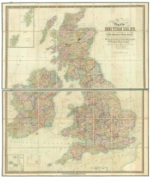
Mid-18th century wall map of the British Isles
DESNOS, Louis Charles. Date: 1766Stock #: 16860 £2,500.00 -
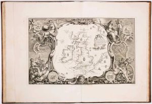
17th century map of the British Isles on two sheets
JAILLOT, Alexis-Hubert. Date: 1696Stock #: 14463 £1,200.00 -
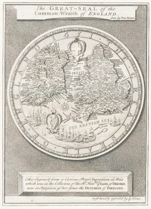
The Great Seal of the Commonwealth, 1651
SIMON, Thomas. Date: 1753Stock #: 17363 £650.00 -
Uncommon Italian map of the British Isles
SOCIETA CALCOGRAFICA. Date: 1800Stock #: 16616 £900.00 -
The route of Saint Ursula and the 11,000 virgin martyrs
HOGENBERG, Abraham. Date: 1647Stock #: 23910 £800.00 -
The story of the Spanish Armada from the House of Lords tapestries
PINE, John. Date: 1739Stock #: 14002 £16,000.00 -
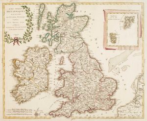
A folding map of the British Isles with fine hand colour
WALKER, J. & C. Date: 1840Stock #: 21202 £750.00 -
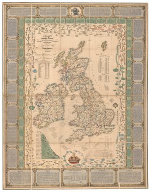
A Victorian educational map of the British Isles
STARK, J. Date: 1851Stock #: 24080 £1,700.00 -
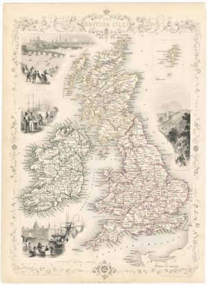
19th century decorative map of the British Isles
TALLIS, John. Date: 1851Stock #: 23507 £260.00
Items by the same author
[ti_wishlists_addtowishlist]

The rarest Ortelius atlas map of England and Wales
ORTELIUS, Abraham. Date: 1603 Stock #: 25643 £2,000.00
[ti_wishlists_addtowishlist]

[ti_wishlists_addtowishlist]

A 16th century miniature map of the Turkish Empire
ORTELIUS, Abraham. Date: 1593 Stock #: 24464 £280.00
[ti_wishlists_addtowishlist]
[ti_wishlists_addtowishlist]