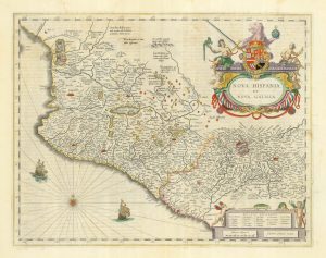
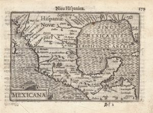
A 16th century map of the colony of New Spain
Hispaniae Novae Sivae Magnae, Recens et Vera Descriptio. 1579.
£800.00
1 in stock
x
Question About This Item?
A 16th century map of the colony of New Spain & ORTELIUS, Abraham.Stock #: 25516Description
A detailed map of 'New Spain' in south-west Mexico, showing Mexico City and Guadalajara. The title is surrounded by one of Ortelius' most elaborate strapwork cartouches.
The map was first published in 1579, in the 'Theatrum Orbis Terrarum', regarded as the first atlas in the modern sense of the word, with the maps designed to fit the book.
Related products
-
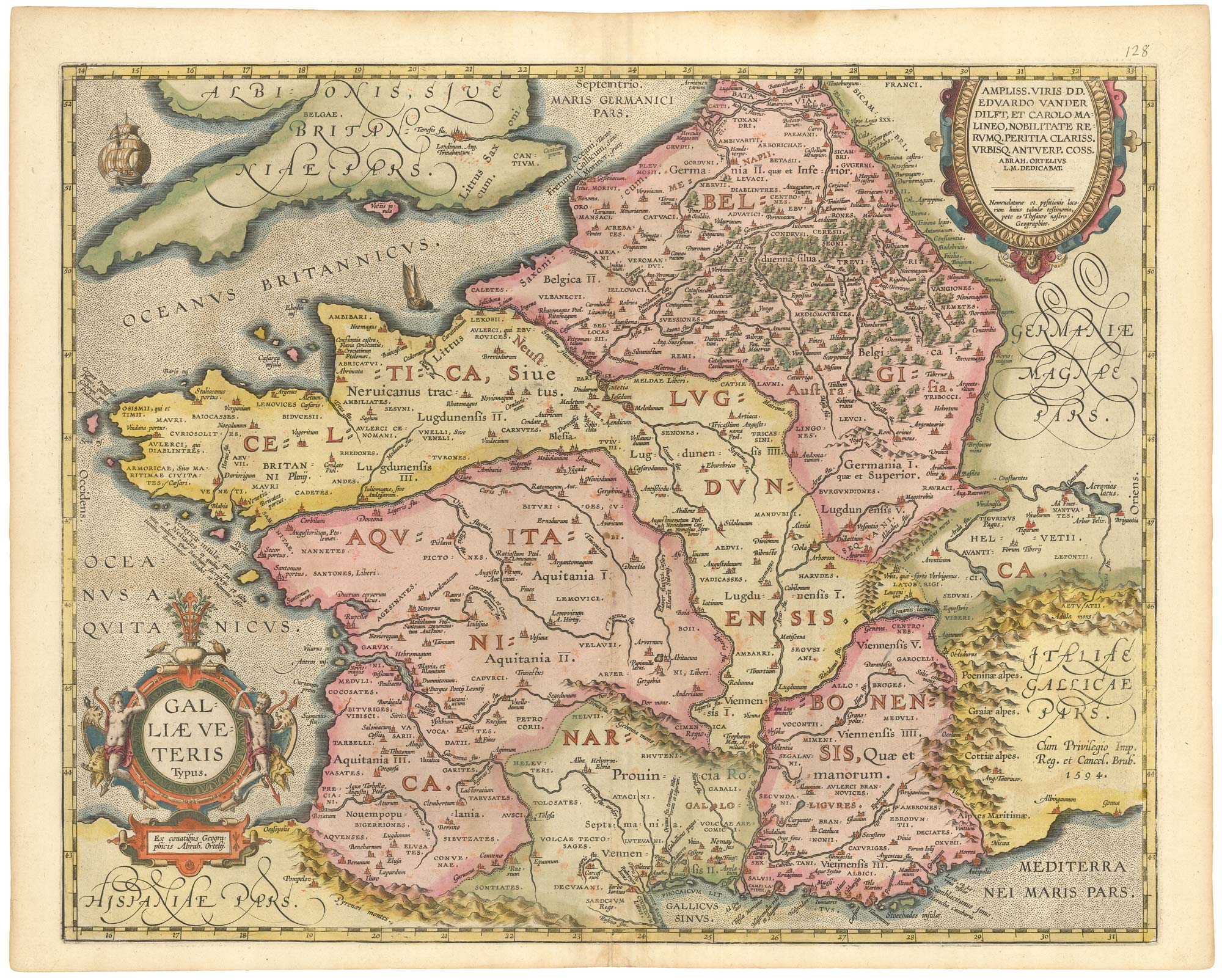
Campeche
ALLARD, Carel. Date: 1720Stock #: 9995 £50.00 -
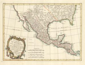
18th century French map of Mexico & Texas
BONNE, Rigobert. Date: 1719Stock #: 25098 £450.00 -
A 17th century map of central Mexico
BLAEU, Willem Janszoon. Date: 1662Stock #: 22723 £450.00 -
Early edition of this miniature map of Mexico & Texas
LANGENES, Barent. Date: 1599Stock #: 21260 £1,000.00
Items by the same author
[ti_wishlists_addtowishlist]

The rarest Ortelius atlas map of England and Wales
ORTELIUS, Abraham. Date: 1603 Stock #: 25643 £2,000.00
[ti_wishlists_addtowishlist]

[ti_wishlists_addtowishlist]

A 16th century miniature map of the Turkish Empire
ORTELIUS, Abraham. Date: 1593 Stock #: 24464 £280.00
[ti_wishlists_addtowishlist]
[ti_wishlists_addtowishlist]
[ti_wishlists_addtowishlist]