


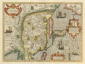
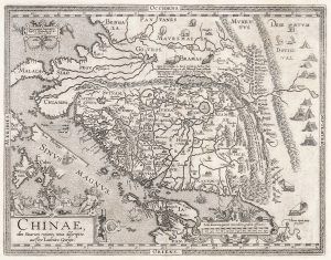
The first Western publication of a Chinese map of China
The Map of China.
London: Henry Featherstone, 1625. 300 x 370mm.
£6,000.00
1 in stock
x
Question About This Item?
The first Western publication of a Chinese map of China & PURCHAS, Samuel.Stock #: 23063
Add to Wishlist
Export as PDFEnquireSimilar to Sell?Add to Wishlist
Description
A rare and important map of China, based on a Chinese woodblock map, with Chinese characters in the title but not on the map. It depicts the Great Wall and has a vignette portrait of Matteo Ricci (the Italian Jesuit missionary) and two costume illustrations.
Unlike the majority of plates published in 'Purchas His Pilgrimies', this is not printed from the old Hondius 'Atlas Minor' plates. Instead Purchase copied a Chinese map brought back to England by John Saris, an East India Company merchant. who had acquired it from a Fujianese merchant in part-payment for a debt. Unable to read the script, Purchas removed the Chinese names on the map, but left the symbols representing towns.
Condition:
A near mint example.Related products
-
A classic 17th century map of China
HONDIUS, Jodocus. Date: 1623Stock #: 23659 £2,500.00 -
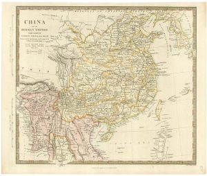
19th century China and Burma
Society for the Diffusion of Useful Knowledge. Date: 1834Stock #: 21976 £180.00 -
17th century map of China
JOLLAIN, Gerard. Date: 1660Stock #: 17841 £400.00 -
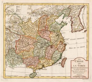
18th century map of China and Korea
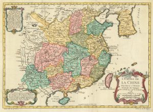
BELLIN, Jacques-Nicolas. Date: 1763Stock #: 22424 £240.00 -
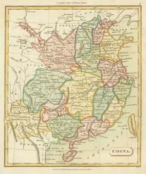
Map of China from an 19th century school atlas
TYRER, James. Date: 1821Stock #: 19360 £180.00 -
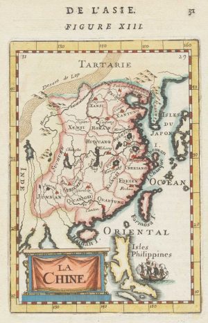
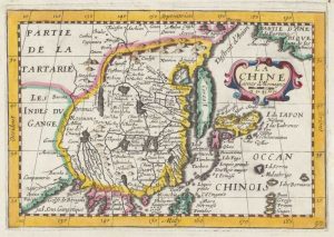
Miniature map of China
MALLET, Alain Manesson. Date: 1683Stock #: 18818 £190.00 -
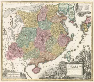
A dramatic 18th century map of China
SEUTTER, Matthaus. Date: 1760Stock #: 18269 £1,400.00 -
Ortelius’s landmark map of China
ORTELIUS, Abraham. Date: 1612Stock #: 21064 £3,000.00 -
18th century map of China
BELLIN, Jacques-Nicolas. Date: 1748Stock #: 18312 £340.00