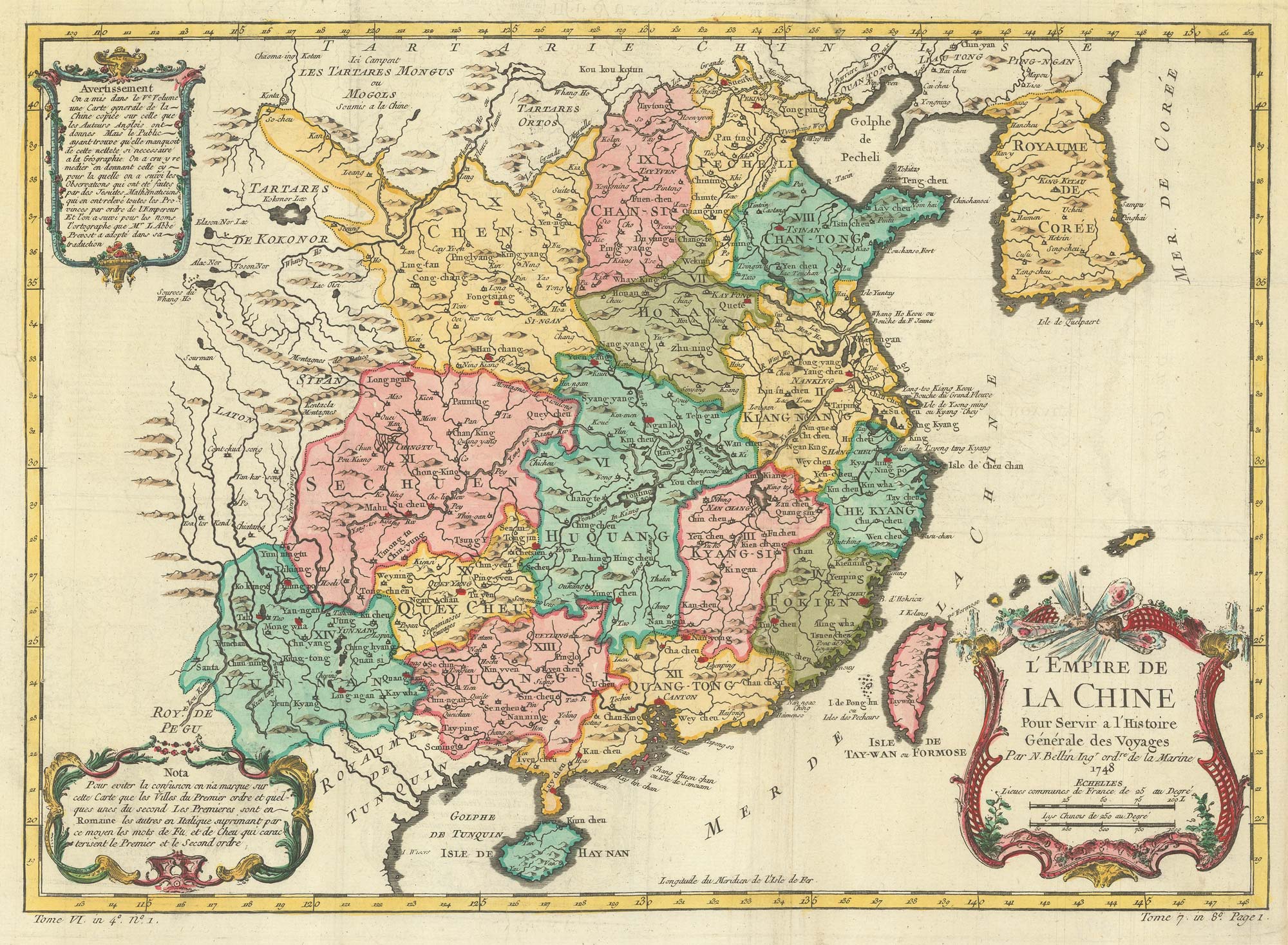


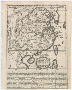
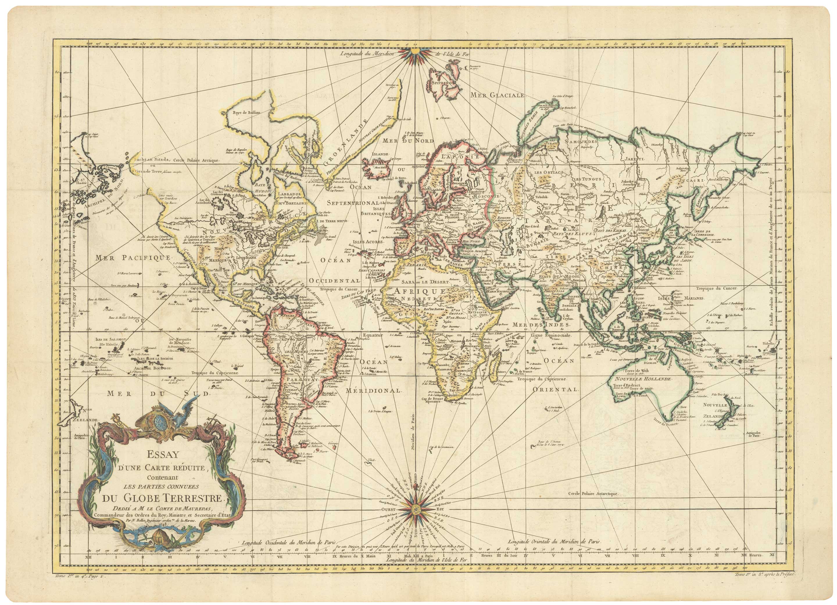
18th century map of China
L'Empire de La Chine...
Paris, 1748. Coloured. 300 x 415mm.
£340.00
Description
China and Korea, from Prevost's 'Histoire Générale des Voyages'.
Condition:
A good example.Related products
-
18th century map of China
KITCHIN, Thomas. Date: 1747Stock #: 19967 £280.00 -
Early 19th century map of China published in Scotland
THOMSON, John. Date: 1815Stock #: 21890 £250.00 -
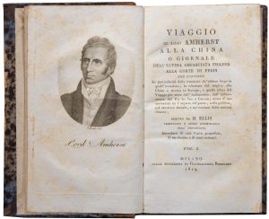
An Italian edition of an account of the Amherst Embassy to China
ELLIS, Henry. Date: 1819Stock #: 23936 £400.00 -
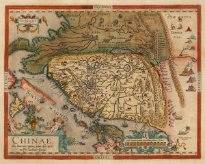
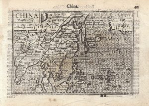
Ortelius’s landmark map of China
ORTELIUS, Abraham. Date: 1608Stock #: 15820 £4,500.00 -
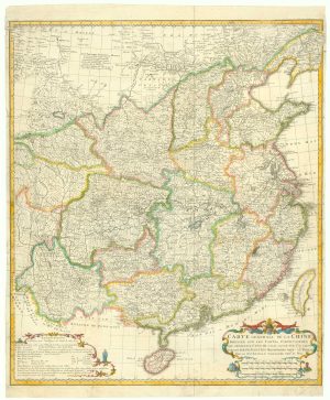
Important French map of China by D’Anville
ANVILLE, Jean Baptiste B. D'. Date: 1737Stock #: 12227 £900.00 -

The first Western publication of a Chinese map of China
PURCHAS, Samuel. Date: 1625Stock #: 23063 £6,000.00 -
A scarce 17th century map of China by a French Jesuit
LE COMPTE, Louis. Date: 1698Stock #: 23440 £1,600.00 -

The first Western atlas of China
BLAEU, Johannes. Date: 1655Stock #: 20044 £29,000.00 -
A 16th century miniature map of China
LANGENES, Barent. Date: 1599Stock #: 21270 £320.00
Items by the same author
[ti_wishlists_addtowishlist]
[ti_wishlists_addtowishlist]
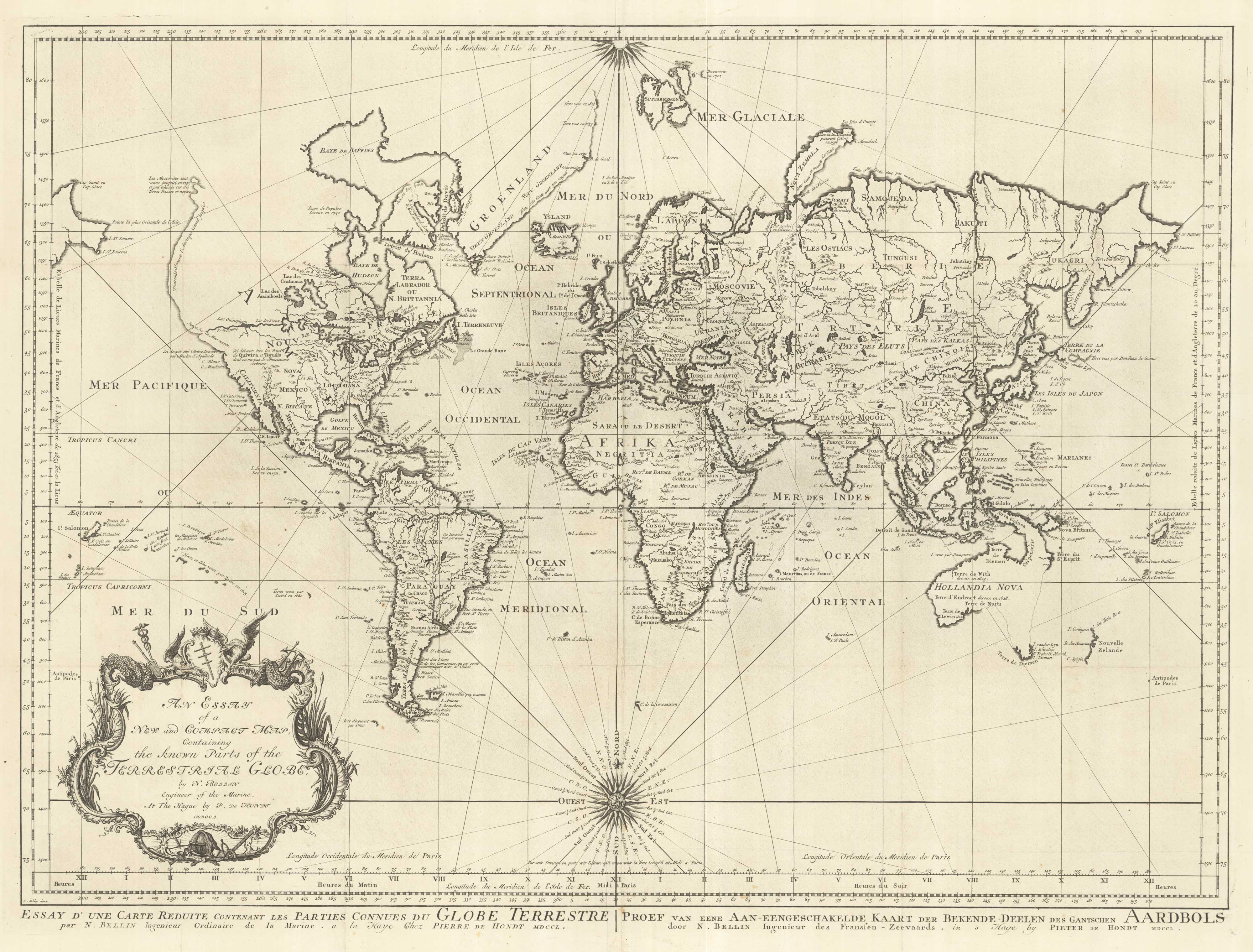
A large sea chart of the World on Mercator's Projection
BELLIN, Jacques-Nicolas. Date: 1775 Stock #: 25116 £1,600.00
[ti_wishlists_addtowishlist]
18th century nautical chart on Mercator's Projection
BELLIN, Jacques-Nicolas. Date: 1750 Stock #: 25151 £1,600.00
[ti_wishlists_addtowishlist]
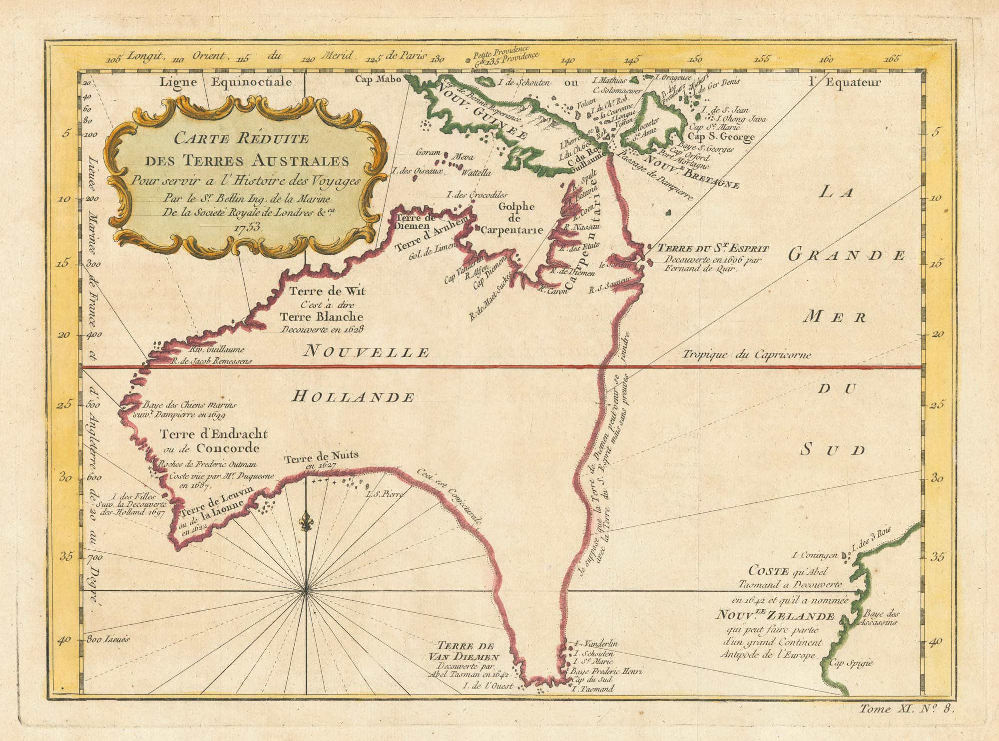
A pre-Cook discoveries map of Australia
BELLIN, Jacques-Nicolas. Date: 1753 Stock #: 25052 £1,000.00
[ti_wishlists_addtowishlist]
[ti_wishlists_addtowishlist]