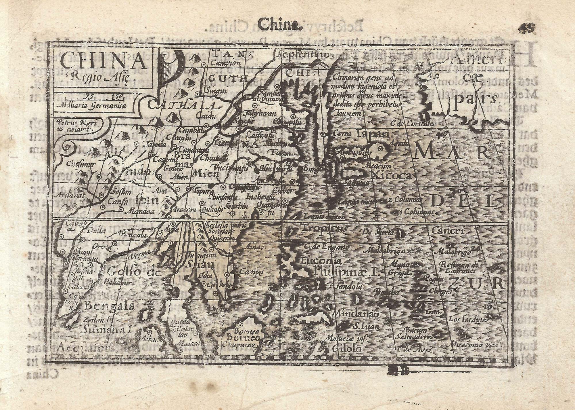


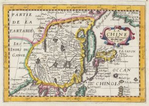
A 16th century miniature map of China
China Regio Asie.
Amsterdam, Cornelis Claez, 1599, Dutch text edition. 85 x 125mm, with letterpress surtitle and pagination.
£320.00
Description
A scarce map of China, but also showing Japan and Korea, the Philippines, Indochina and India. It was engraved by Pieter van den Keere for the 1598 'Caert-Thresoor', with a text by an unknown author.
By 1600 this map was being published in the 'Tabularum Geographicarum Contractarum' with a text by Petrus Bertius, and in 1616 a new plate was engraved by Jodocus Hondius II, slightly larger and with wider borders with scales of longitude and latitude.
Condition:
A good example.Related products
-
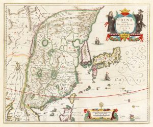
An early example of this classic 17th century map of China
JANSSON, Jan. Date: 1636Stock #: 18401 £1,400.00 -
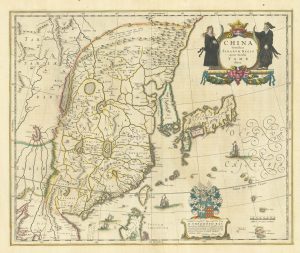
Classic 17th century map of China
BLAEU, Willem Janszoon. Date: 1642Stock #: 25332 -
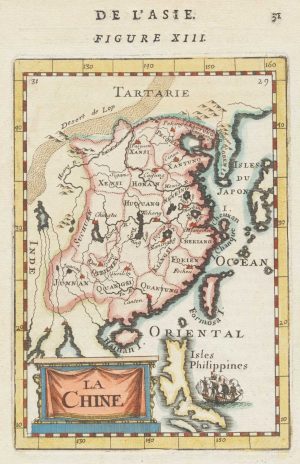
Miniature map of China
MALLET, Alain Manesson. Date: 1683Stock #: 18818 £190.00 -
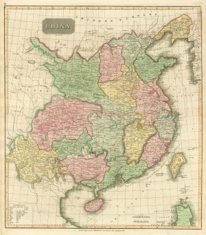
Mid-19th century map of China
Society for the Diffusion of Useful Knowledge. Date: 1850Stock #: 19862 £180.00 -
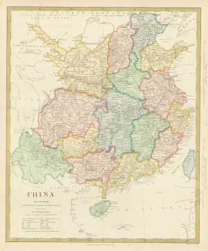
Early 19th century map of China published in Scotland
THOMSON, John. Date: 1815Stock #: 21890 £250.00 -
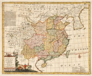
18th century English map of China
BOWEN, Emanuel. Date: 1748Stock #: 21029 £450.00 -
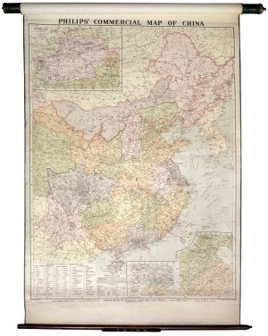
A wall map illustrating the commerce of China
PHILIP, George. Date: 1930Stock #: 19440 £1,250.00 -
17th century map of China
JOLLAIN, Gerard. Date: 1660Stock #: 17841 £400.00 -
An 18th century playing-card map of China
RABATTA, Augusto & BAILOU, Jean Baptist de. Date: 1779Stock #: 12974 £450.00
Items by the same author
[ti_wishlists_addtowishlist]

[ti_wishlists_addtowishlist]

A 16th century miniature map of Saxony, Thuringia & Meissen
LANGENES, Barent. Date: 1599 Stock #: 21173 £50.00
[ti_wishlists_addtowishlist]

[ti_wishlists_addtowishlist]

[ti_wishlists_addtowishlist]

A 16th century miniature map of the Comtat Venaissin
LANGENES, Barent. Date: 1599 Stock #: 21137 £55.00
[ti_wishlists_addtowishlist]
