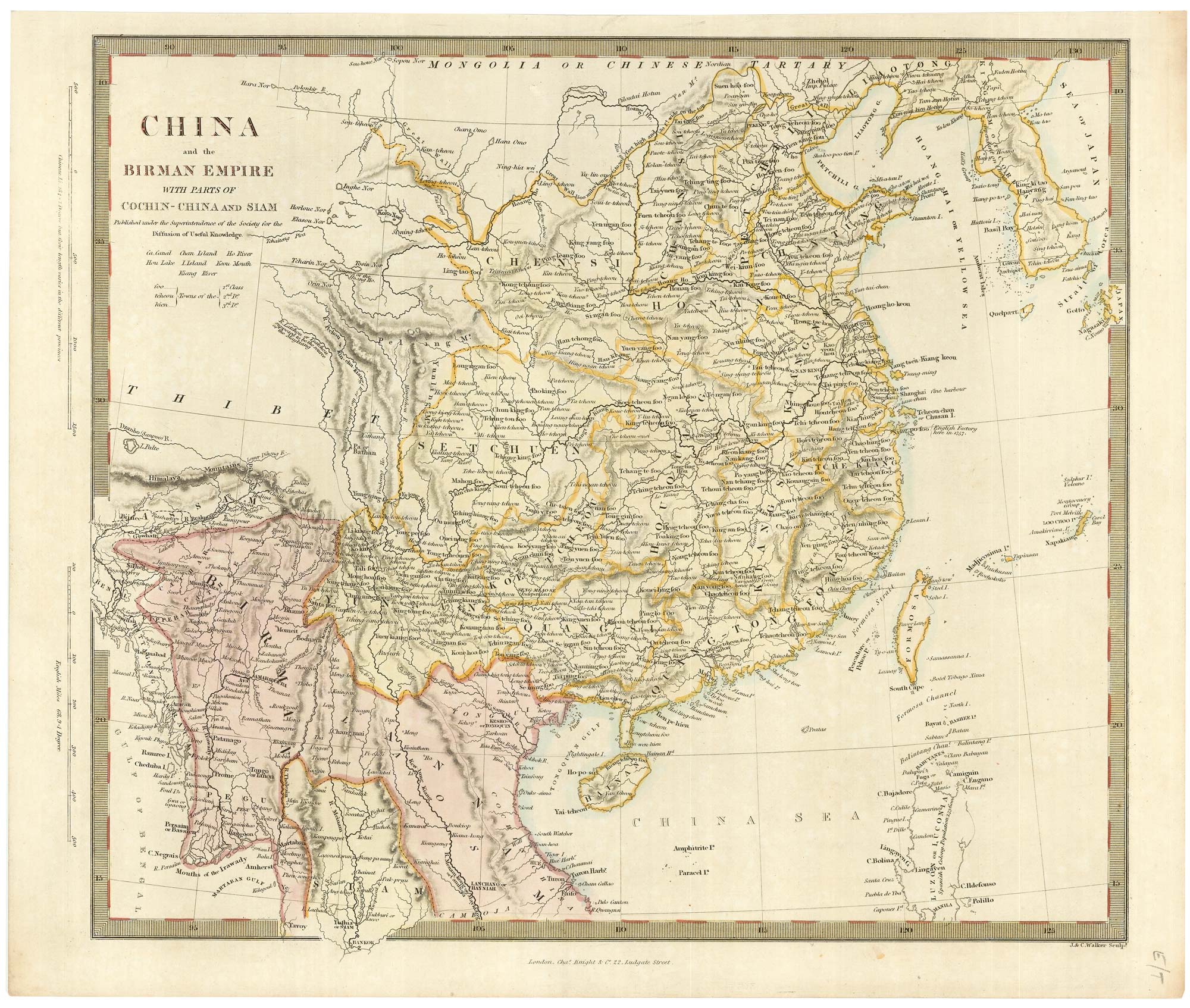


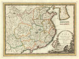
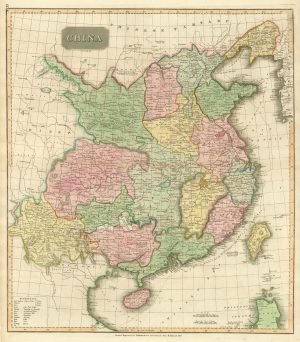
Mid-19th century map of China
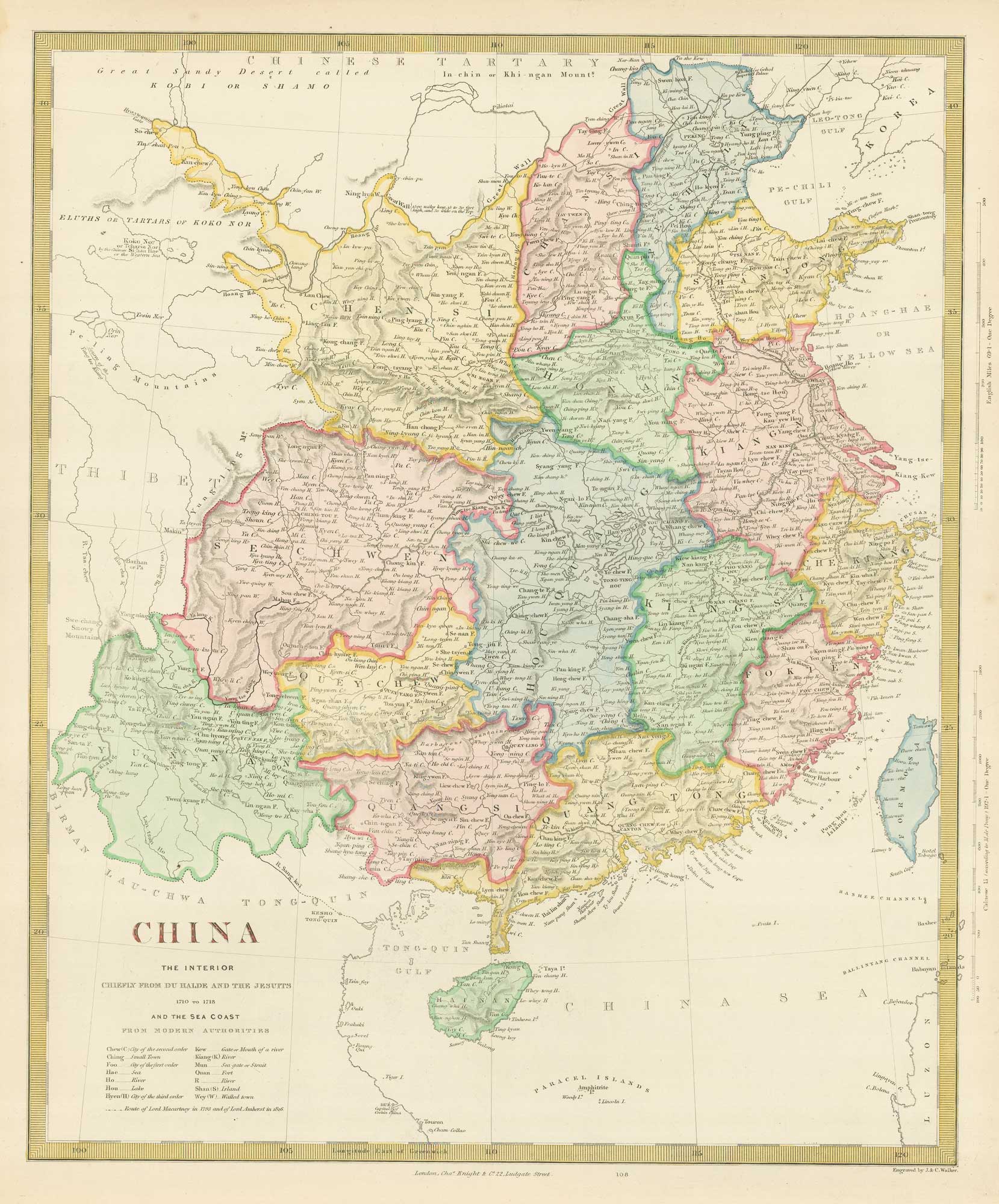
China: The Interior Chiefly from Du Halde and the Jesuits 1710 to 1718 and the Sea Coast from Modern Authorities.
London, Charles Knight, c.1850. Steel engraving, Coloured. 400 x 320mm.
£180.00
1 in stock
x
Question About This Item?
Mid-19th century map of China & Society for the Diffusion of Useful Knowledge.Stock #: 19862Similar to Sell?
Description
Detailed map of China with Hong Kong Island marked. The map credits Du Halde and the Jesuits as the source of the details.
Condition:
A good example.Related products
-

A charming 17th century miniature account of China.
TRIGAULT, Nicolas et al. Date: 1807Stock #: 23892 £650.00 -
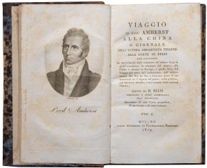
An Italian edition of an account of the Amherst Embassy to China
ELLIS, Henry. Date: 1819Stock #: 23936 £400.00 -
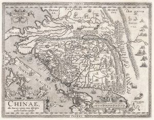
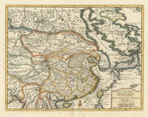
Ortelius’s landmark map of China
ORTELIUS, Abraham. Date: 1612Stock #: 21064 £3,000.00 -
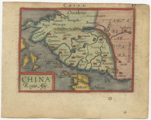
A 16th century miniature map of China
ORTELIUS, Abraham. Date: 1593Stock #: 24459 £280.00 -
A scarce map of China
CASSINI, Giovanni Maria. Date: 1798Stock #: 20552 £650.00 -
17th century map of China
JOLLAIN, Gerard. Date: 1660Stock #: 17841 £400.00 -
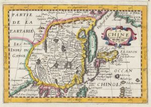
Miniature map of China
MALLET, Alain Manesson. Date: 1683Stock #: 18818 £190.00 -
Early 19th century map of China published in Scotland
THOMSON, John. Date: 1815Stock #: 21890 £250.00 -
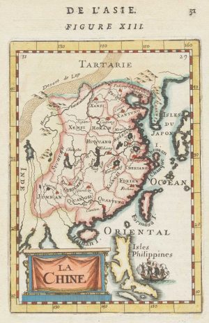
18th century map of China
TIRION, Isaak. Date: 1740Stock #: 24547 £320.00
Items by the same author
[ti_wishlists_addtowishlist]
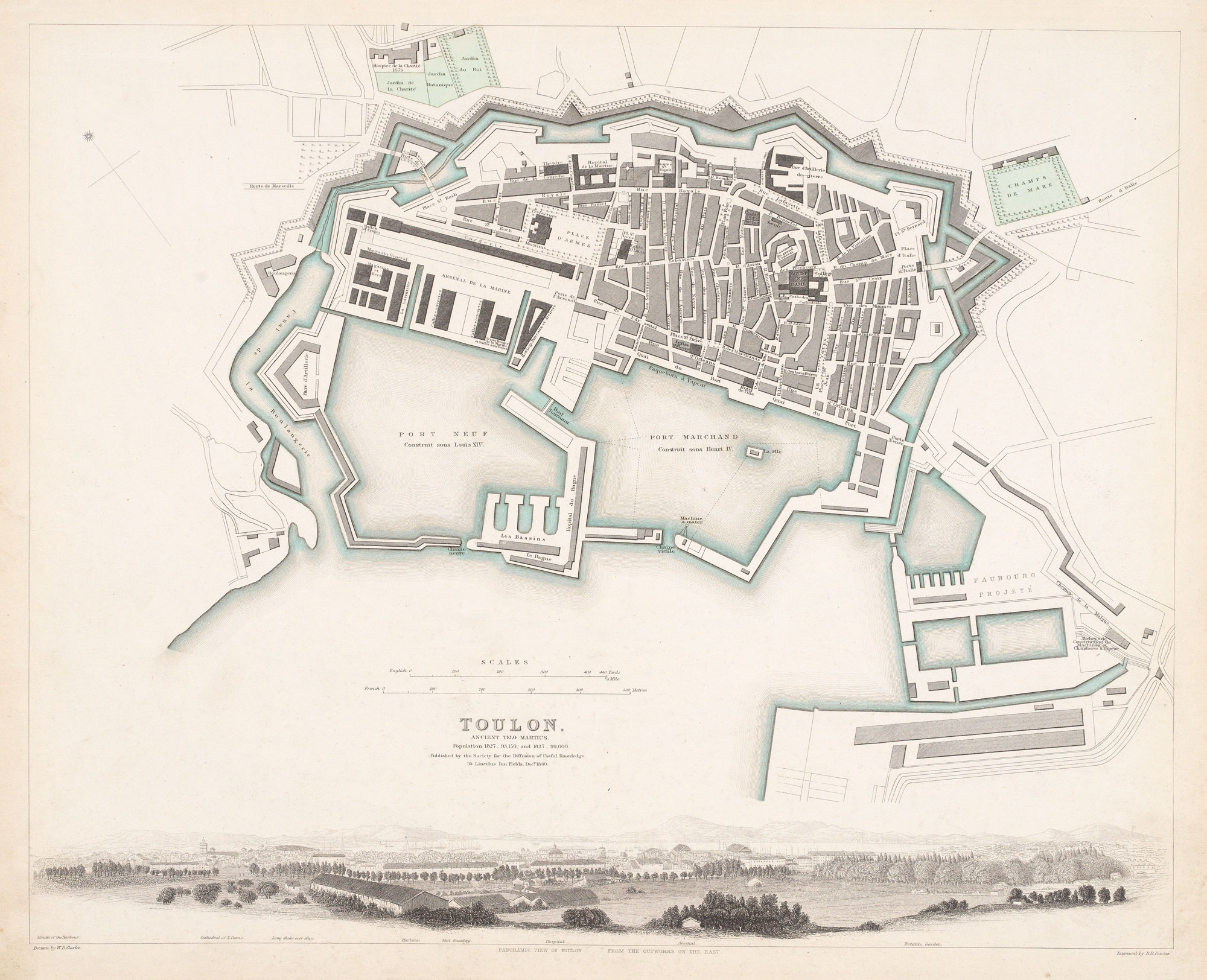
Plan of Toulon in the mid-19th century
Society for the Diffusion of Useful Knowledge. Date: 1836 Stock #: 9047 £75.00
[ti_wishlists_addtowishlist]
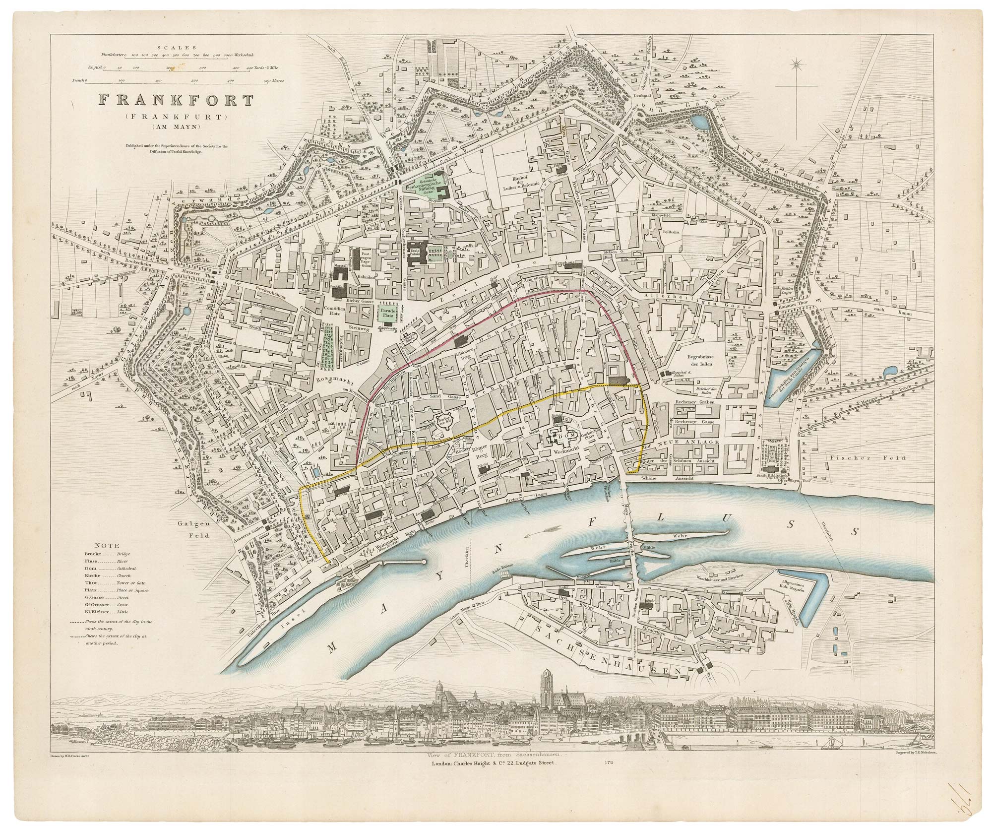
19th century plan of Frankfurt
Society for the Diffusion of Useful Knowledge. Date: 1835 Stock #: 20916 £100.00
[ti_wishlists_addtowishlist]
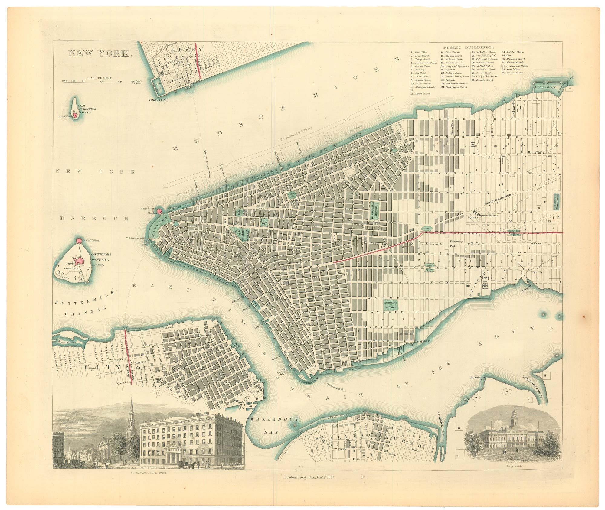
19th century town plan of New York
Society for the Diffusion of Useful Knowledge. Date: 1853 Stock #: 24871 £485.00
[ti_wishlists_addtowishlist]
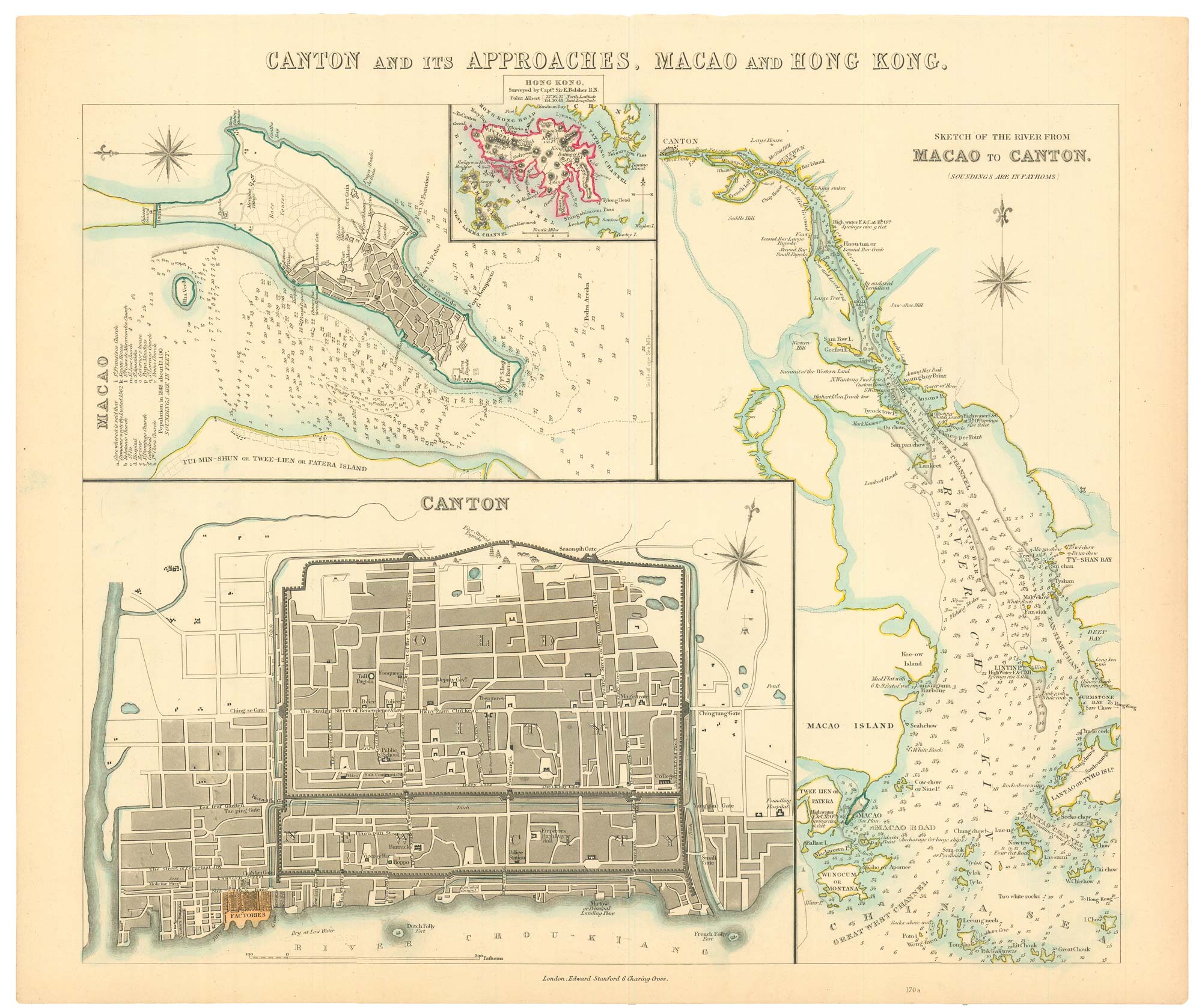
A map of European trade in China in the 1850s
Society for the Diffusion of Useful Knowledge. Date: 1857 Stock #: 24870 £400.00
[ti_wishlists_addtowishlist]
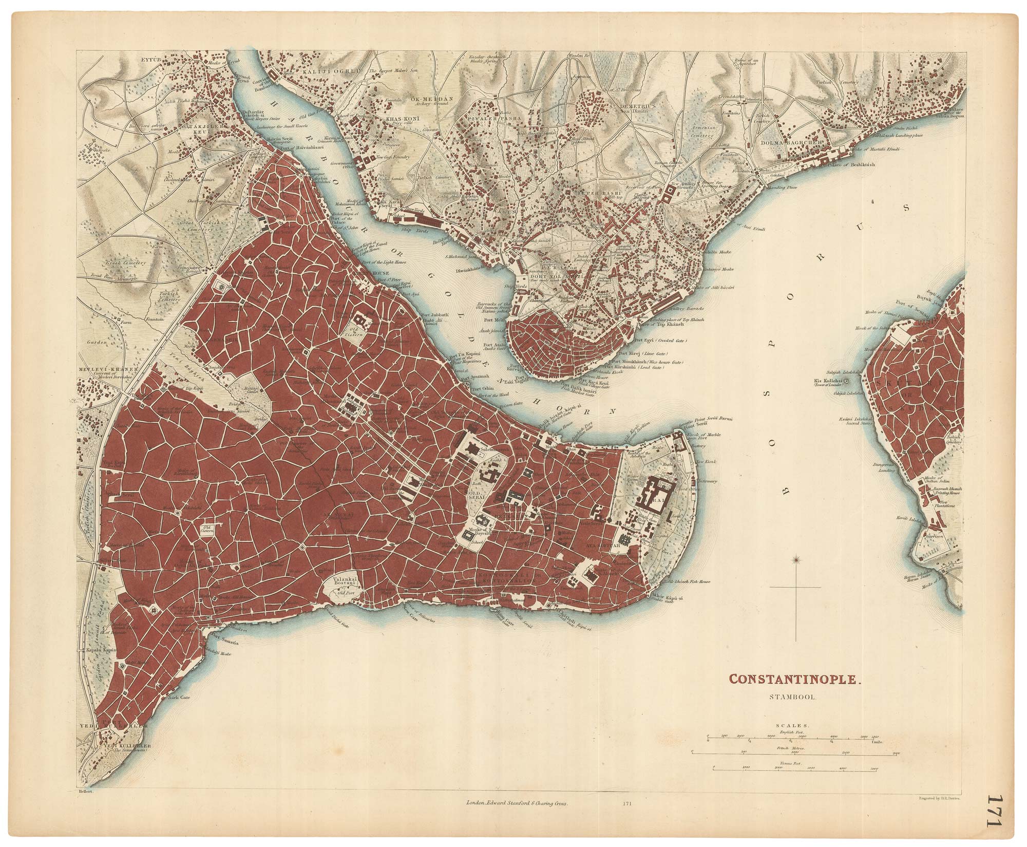
Mid-19th century plan of Constantinople
Society for the Diffusion of Useful Knowledge. Date: 1840 Stock #: 21973 £220.00
[ti_wishlists_addtowishlist]