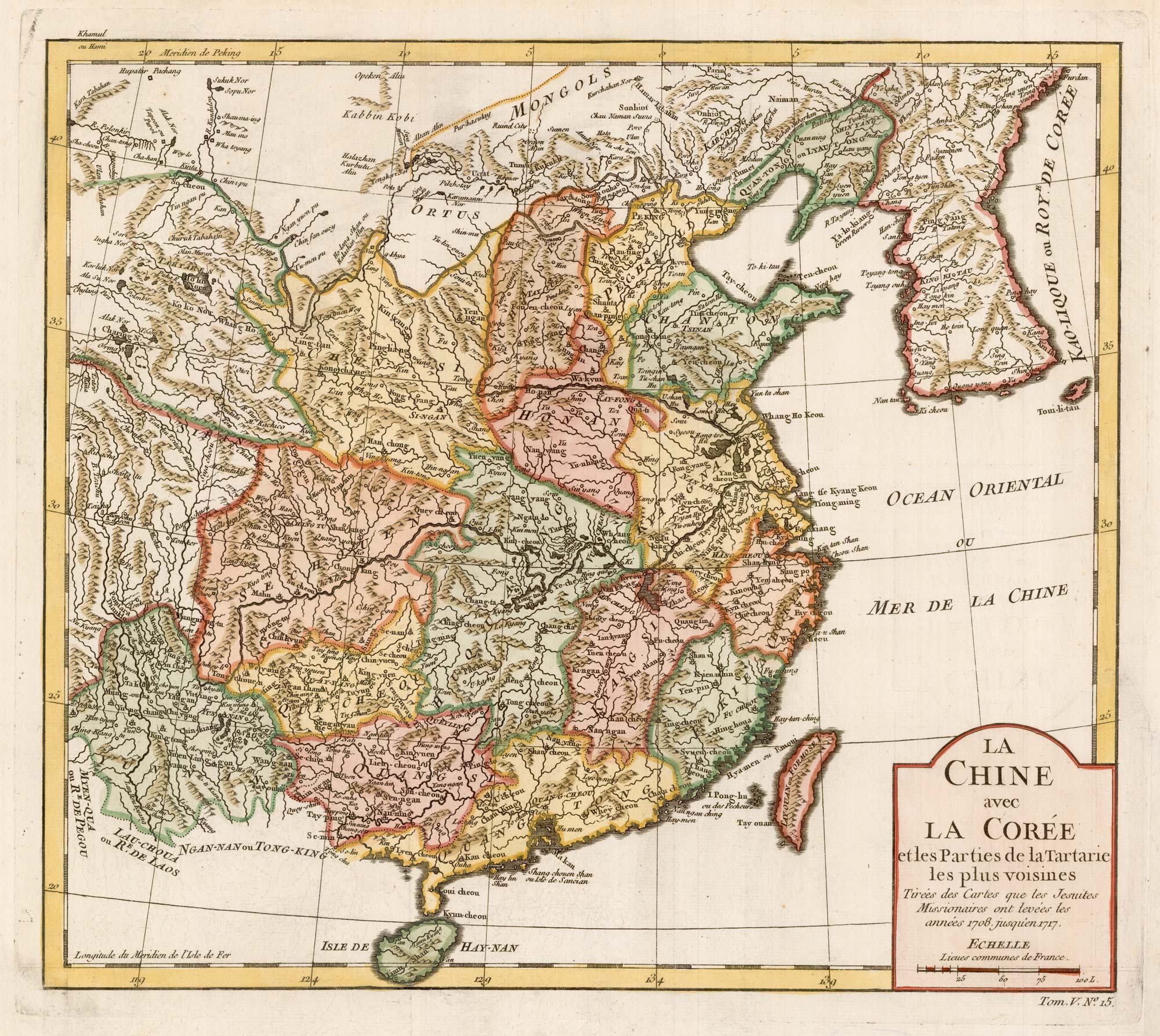


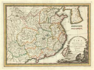
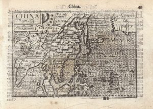
18th century map of China and Korea
La Chine avec La Coree et les Parties de la Tartarie les plus voisines.
Paris c.1763. Coloured. 295 x 330mm.
£240.00
1 in stock
x
Question About This Item?
18th century map of China and Korea & BELLIN, Jacques-Nicolas.Stock #: 22424Similar to Sell?
Description
A map of China published in the 'Petit Atlas Francois', based on maps drawn by Jesuit missionaries between 1708-17.
Condition:
A good example.Related products
-
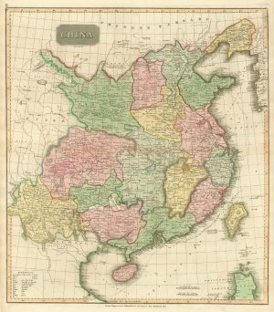
Early 19th century map of China published in Scotland
THOMSON, John. Date: 1815Stock #: 21890 £250.00 -
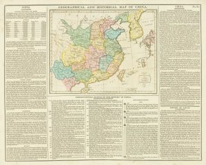
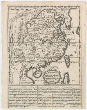
An unusual geographical and historical map of China
GROS, C. Date: 1813Stock #: 18845 £175.00 -
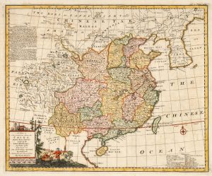
18th century English map of China
BOWEN, Emanuel. Date: 1748Stock #: 21029 £450.00 -
A scarce map of China
CASSINI, Giovanni Maria. Date: 1798Stock #: 20552 £650.00 -
A scarce 17th century map of China by a French Jesuit
LE COMPTE, Louis. Date: 1698Stock #: 23440 £1,600.00 -
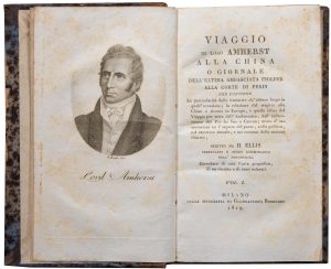
An Italian edition of an account of the Amherst Embassy to China
ELLIS, Henry. Date: 1819Stock #: 23936 £400.00 -
A 16th century miniature map of China
LANGENES, Barent. Date: 1599Stock #: 21270 £320.00 -
Victorian blue-back chart of China and Vietnam
IMRAY, James. Date: 1793Stock #: 22589 £1,100.00 -

The first Western publication of a Chinese map of China
PURCHAS, Samuel. Date: 1625Stock #: 23063 £6,000.00
Items by the same author
[ti_wishlists_addtowishlist]
[ti_wishlists_addtowishlist]
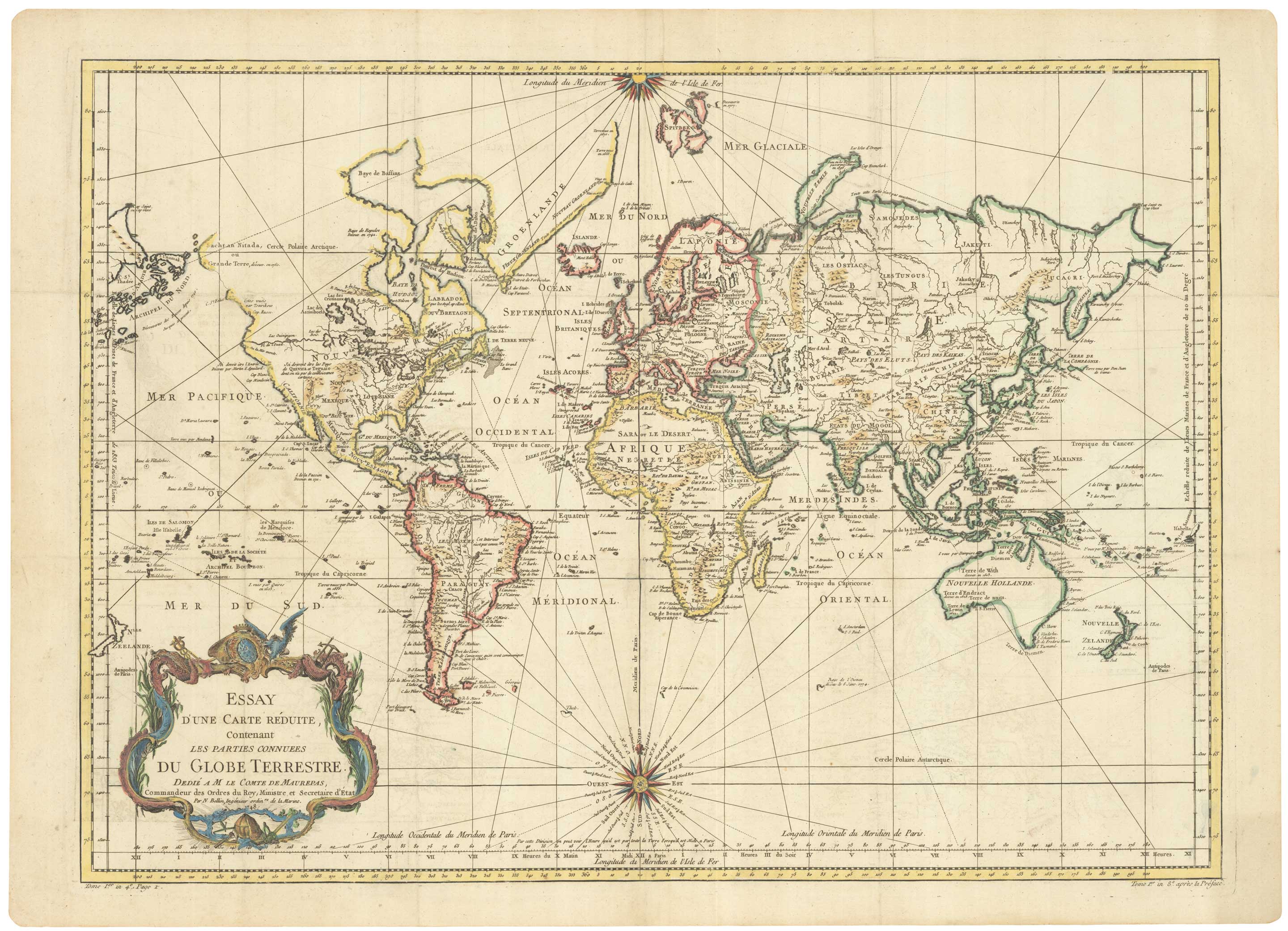
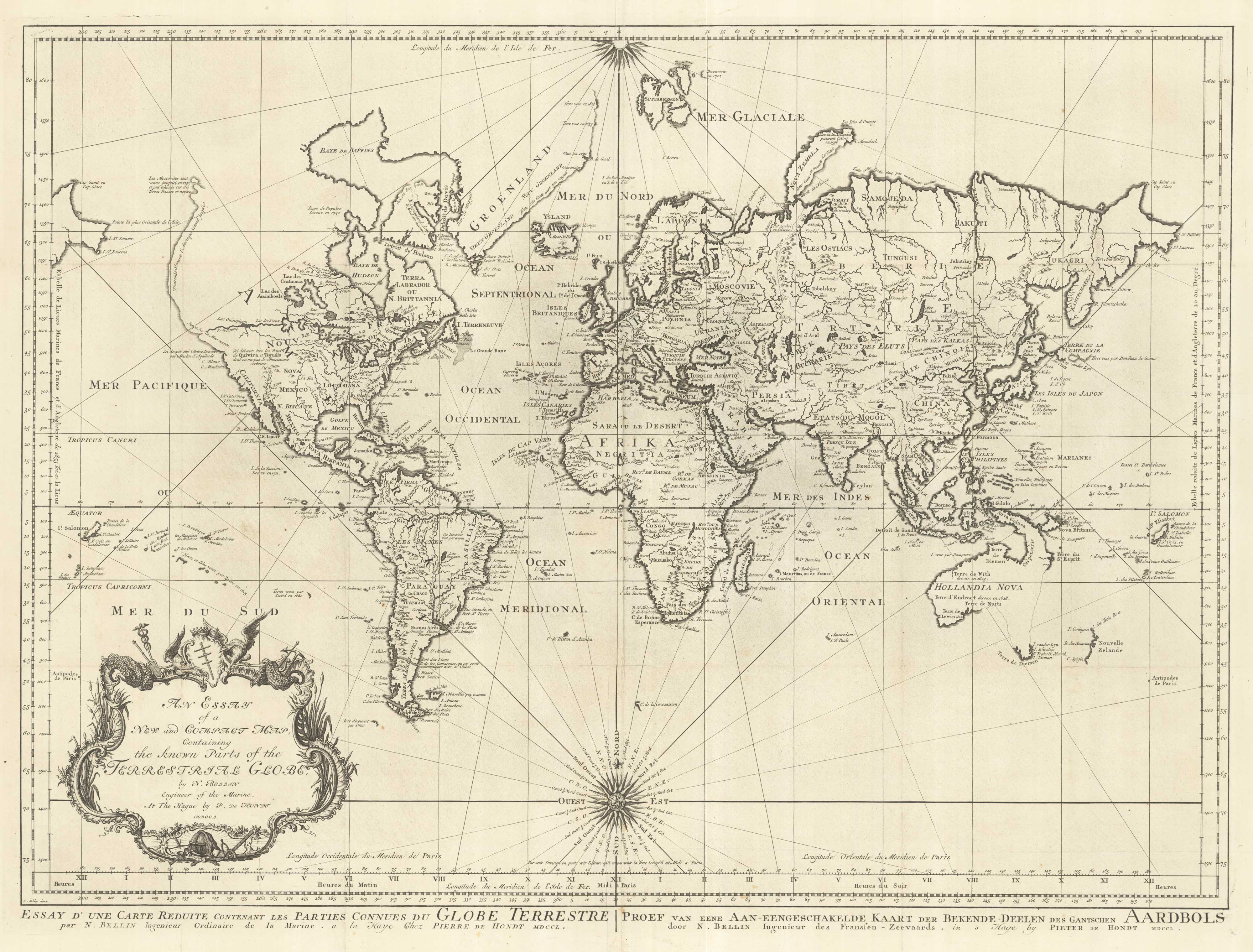
A large sea chart of the World on Mercator's Projection
BELLIN, Jacques-Nicolas. Date: 1775 Stock #: 25116 £1,600.00
[ti_wishlists_addtowishlist]
18th century nautical chart on Mercator's Projection
BELLIN, Jacques-Nicolas. Date: 1750 Stock #: 25151 £1,600.00
[ti_wishlists_addtowishlist]
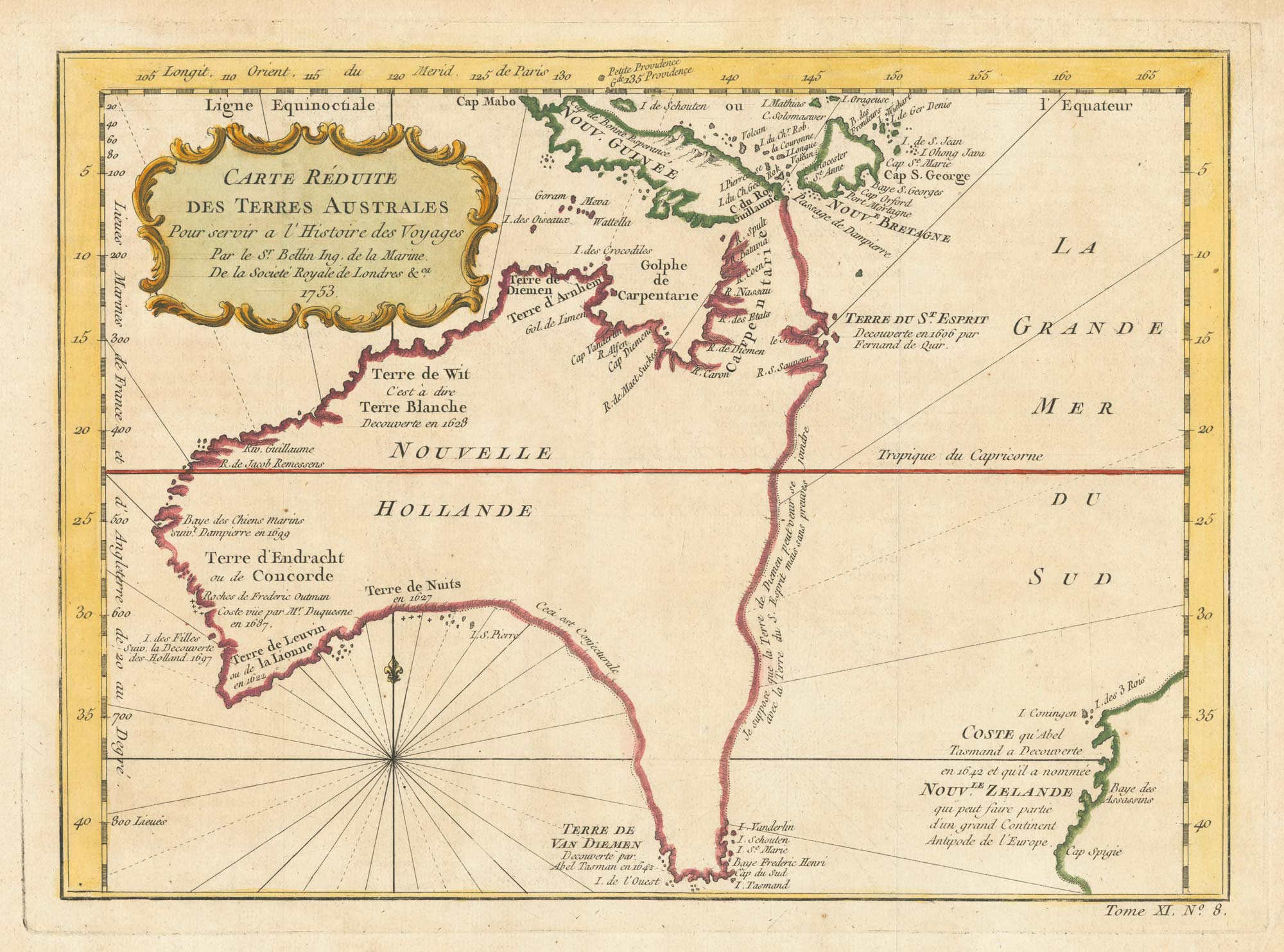
A pre-Cook discoveries map of Australia
BELLIN, Jacques-Nicolas. Date: 1753 Stock #: 25052 £1,000.00
[ti_wishlists_addtowishlist]
[ti_wishlists_addtowishlist]