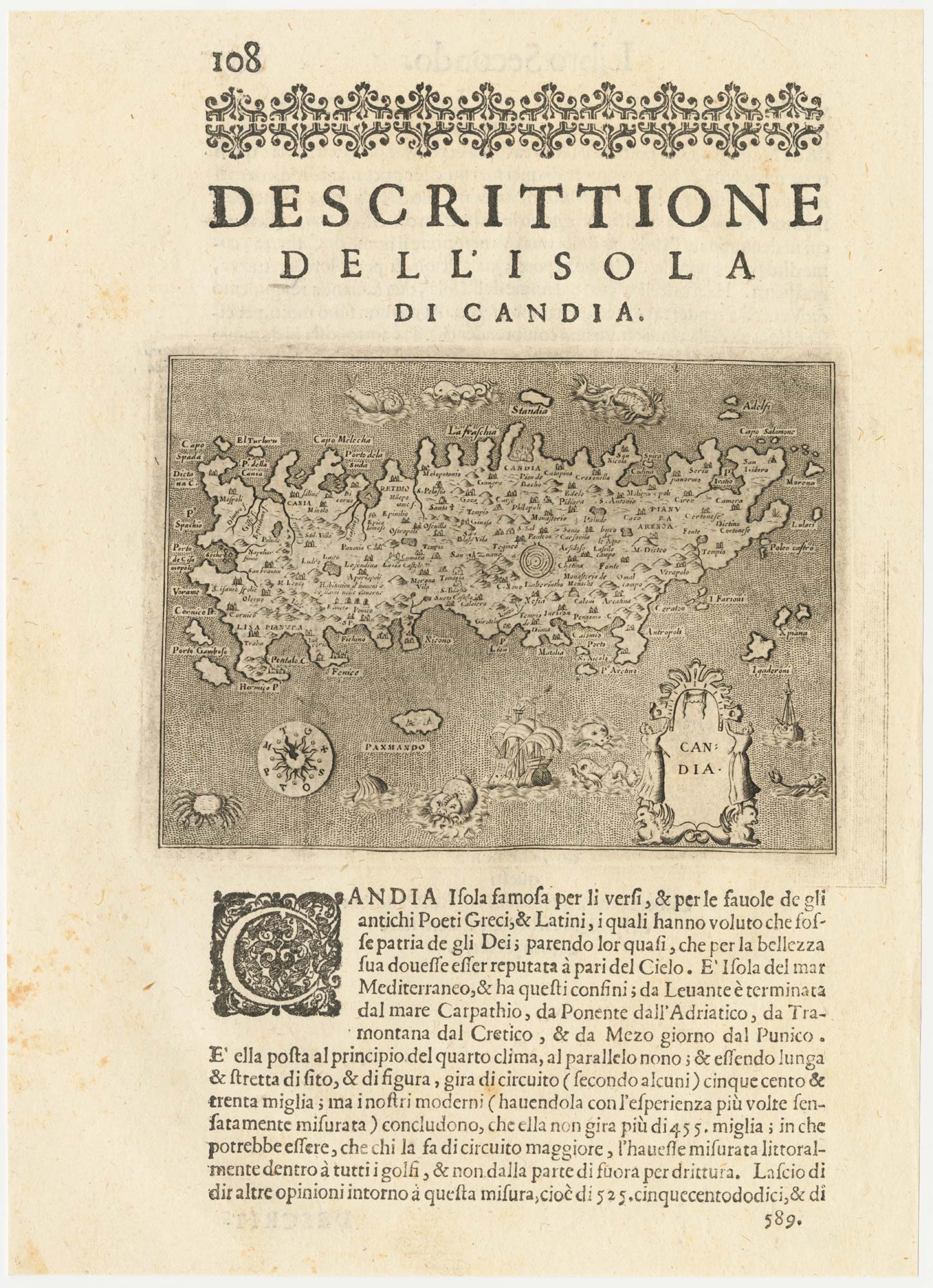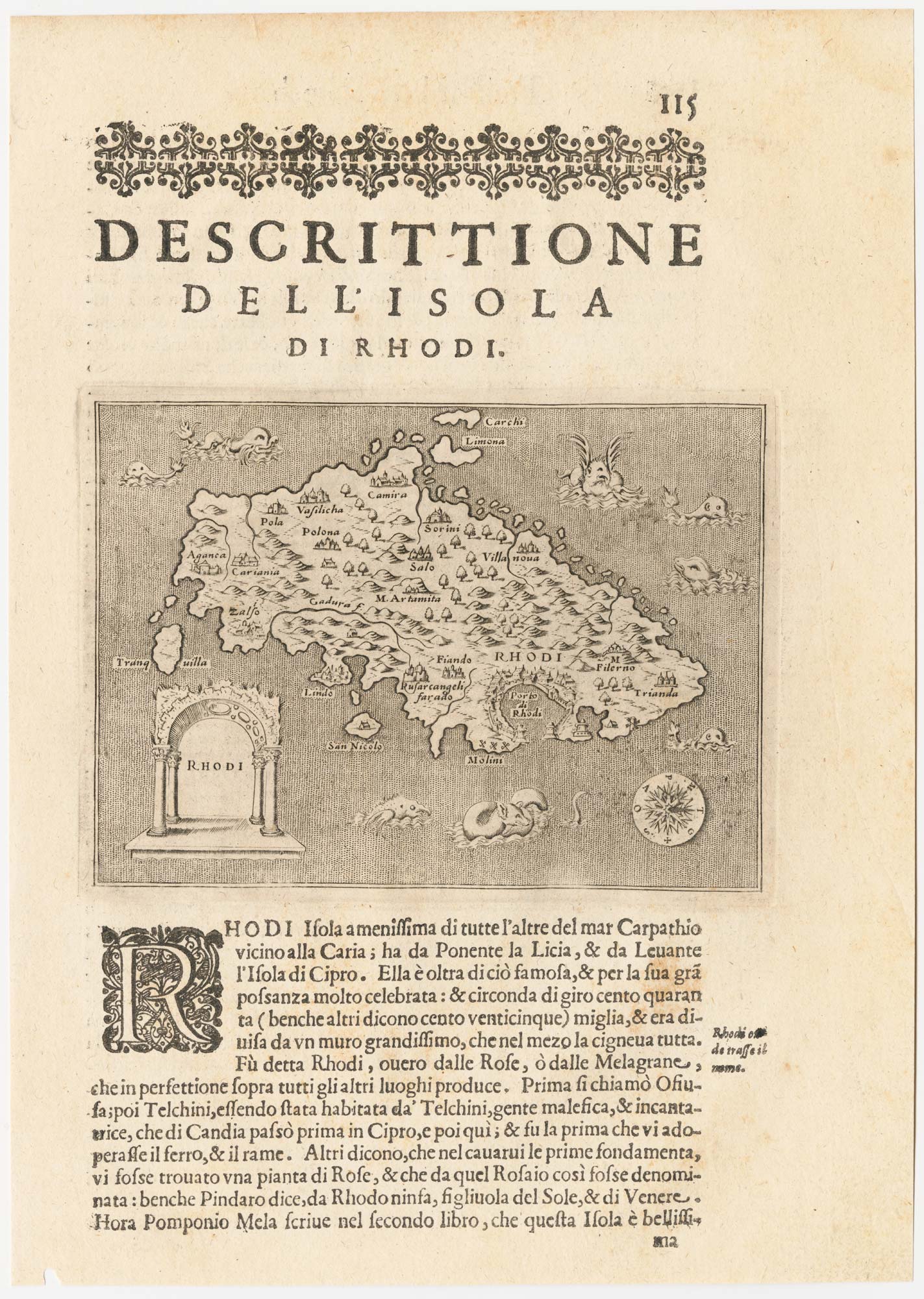


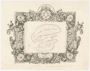
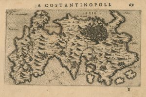
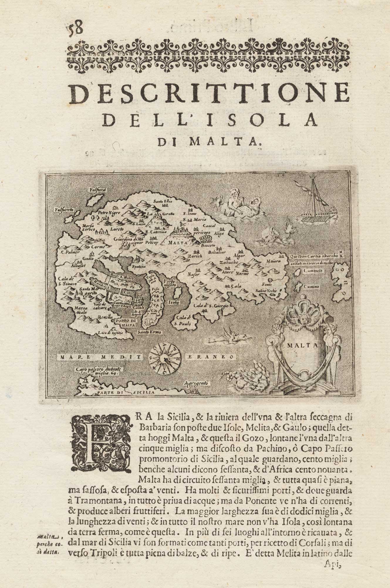
A 16th century map of Rhodes
Rhodi.
Venice, c.1590. 110 x 150mm, set in Italian text.
£120.00
Description
An early map of Rhodes, orientated with north to the right, the seas filled with sea monsters. Engraved by Girolamo Porro of Padua, the map was published in Porcacchi's 'L'Isole del Mondo', first published in 1572.
Condition:
A good example.Related products
-
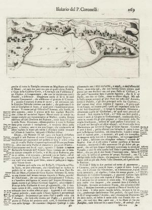
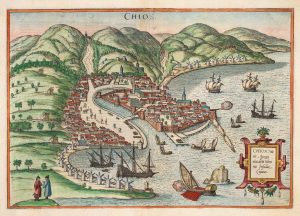
Plan of the city of Chios
CORONELLI, Vincenzo Maria. Date: 1696Stock #: 18903 £100.00 -
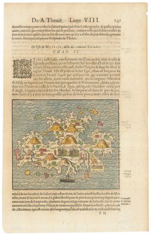
A 16th century woodcut map of Lesbos
THEVET, André Date: 1575Stock #: 21643 £300.00 -
A prospect of the town of Chios in the 17th century by a professional artist
DE BRUYN, Cornelis. Date: 1714Stock #: 23081 £1,250.00 -

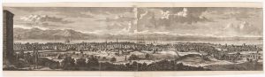
A prospect of Rhodes in the 17th century by a professional artist
BRUYN, Cornelis de. Date: 1714Stock #: 23085 £250.00 -
A scarce map of Riniea & Dilos
CORONELLI, Vincenzo Maria. Date: 1700Stock #: 23370 £350.00 -
A 16th century miniature map of Chios
LANGENES, Barent. Date: 1599Stock #: 21329 £220.00 -
An early town plan of Chios
BRAUN, Georg & HOGENBERG, Frans. Date: 1588Stock #: 20280 £700.00 -

The medieval Castle of Pandeli on Leros
CORONELLI, Vincenzo Maria. Date: 1700Stock #: 23366 £350.00 -
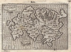
A 16th century Italian map of Chios
ROSACCIO, Giuseppe. Date: 1598Stock #: 25046 £500.00
Items by the same author
[ti_wishlists_addtowishlist]
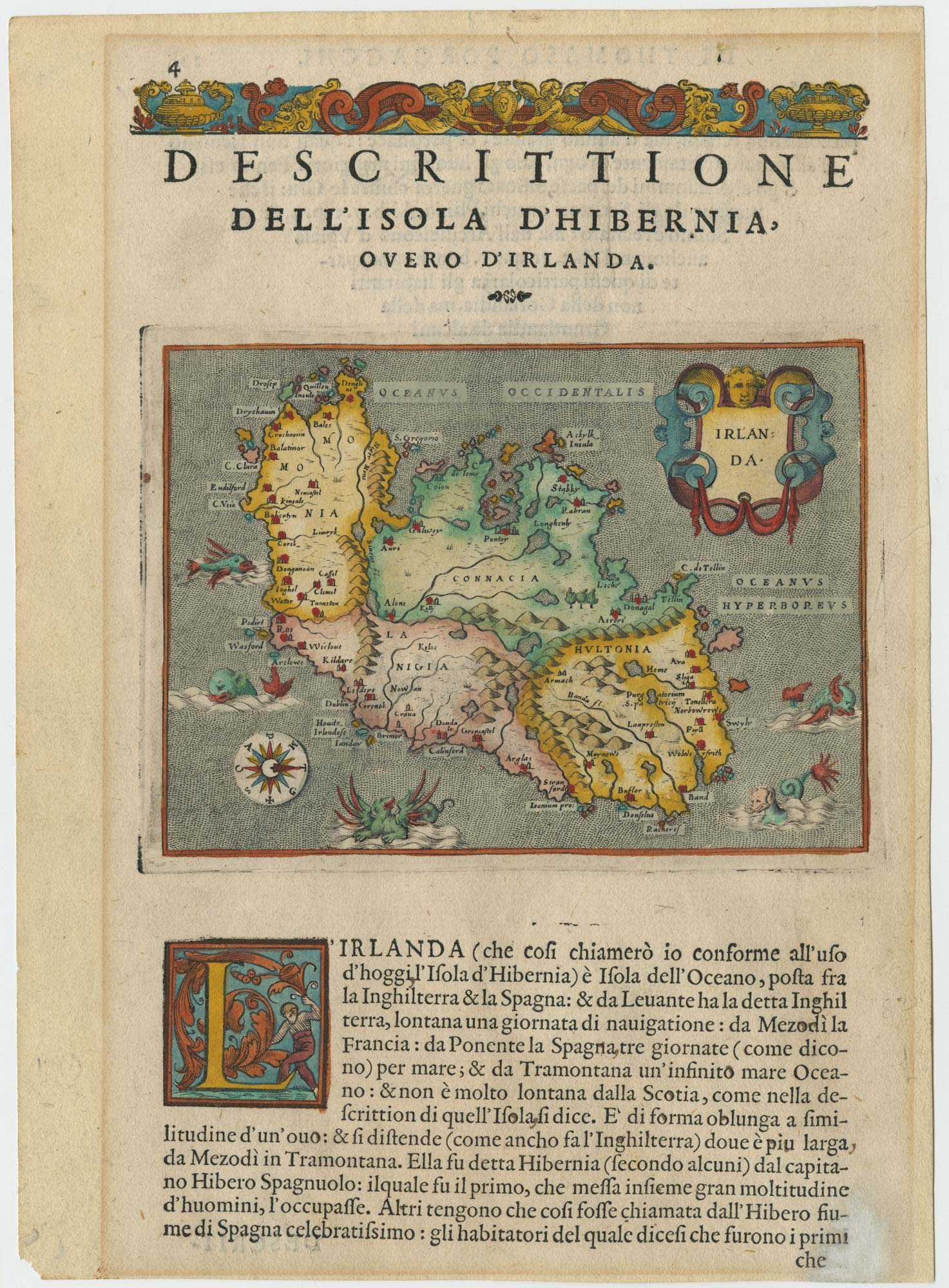
A 16th century map of Ireland with sea-monsters
PORCACCHI, Tomaso. Date: 1576 Stock #: 24013 £300.00
[ti_wishlists_addtowishlist]
[ti_wishlists_addtowishlist]
[ti_wishlists_addtowishlist]
[ti_wishlists_addtowishlist]
[ti_wishlists_addtowishlist]