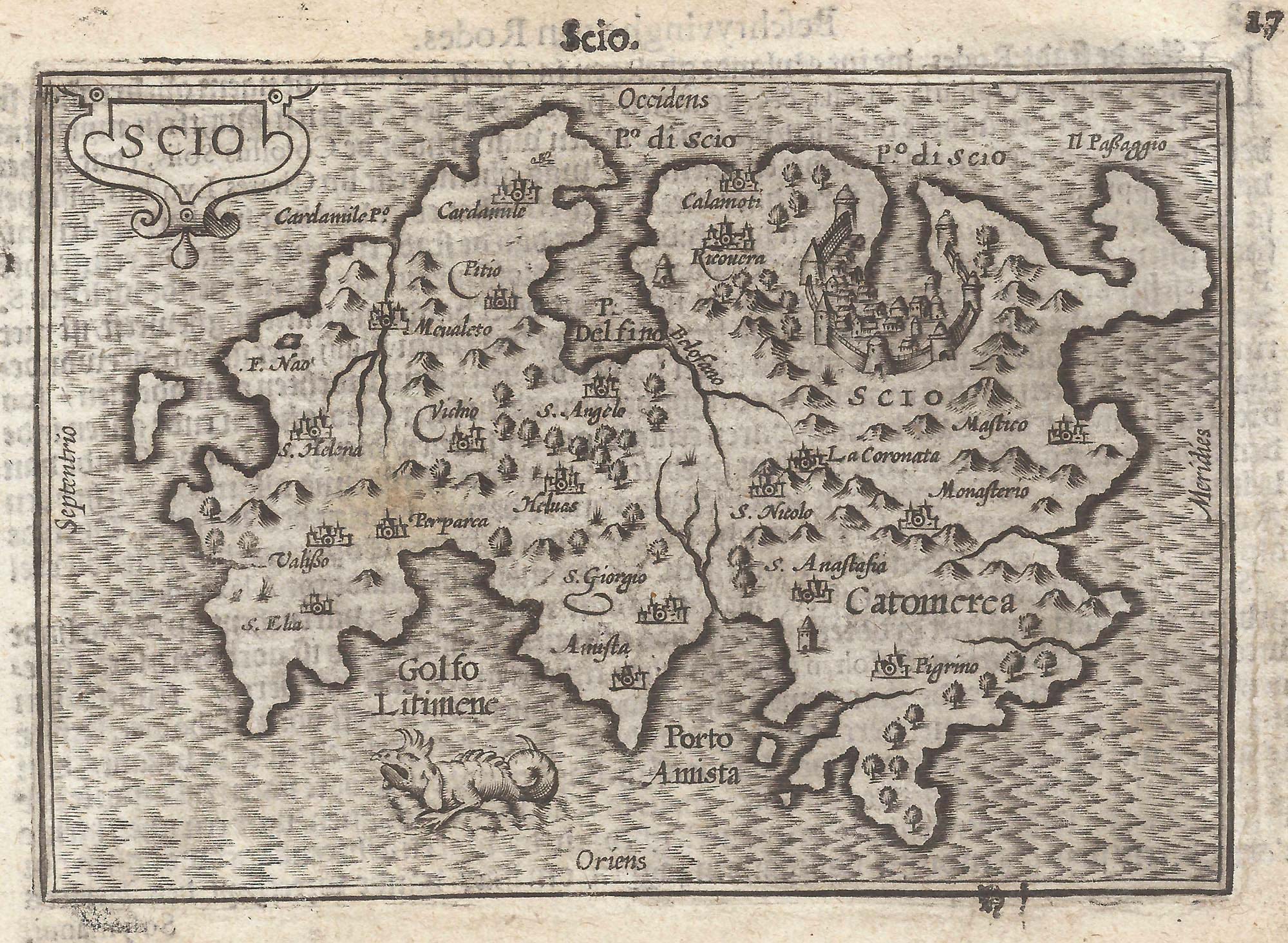


A 16th century miniature map of Chios
Scio.
Amsterdam, Cornelis Claez, 1599, Dutch text edition. 85 x 125mm, with letterpress surtitle and pagination.
£220.00
Description
A scarce map of Chios, orientated with north to the left, engraved by either Jodocus Hondius or Pieter van der Keere for the 'Caert-Thresoor', with a text by an unknown author.
By 1600 this map was being published in the 'Tabularum Geographicarum Contractarum' with a text by Petrus Bertius, and in 1616 a new plate was engraved by Jodocus Hondius II, slightly larger and with wider borders with scales of longitude and latitude.
Condition:
A good example.References:
ZACHARAKIS: 1844.Related products
-
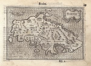
A 16th century miniature map of Rhodes
LANGENES, Barent. Date: 1599Stock #: 21334 £180.00 -

The medieval Castle of Pandeli on Leros
CORONELLI, Vincenzo Maria. Date: 1700Stock #: 23366 £350.00 -
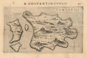
A 16th century Italian map of Santorini
ROSACCIO, Giuseppe. Date: 1598Stock #: 25047 £450.00 -

A scarce map of Kos
CORONELLI, Vincenzo Maria. Date: 1700Stock #: 23371 £350.00 -

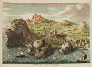
A prospect of Rhodes in the 17th century by a professional artist
BRUYN, Cornelis de. Date: 1714Stock #: 23084 £250.00 -
A scarce map of Riniea & Dilos
CORONELLI, Vincenzo Maria. Date: 1700Stock #: 23370 £350.00 -
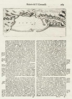
Plan of the city of Chios
CORONELLI, Vincenzo Maria. Date: 1696Stock #: 18903 £100.00 -
View of Patmos
CALMET, Augustin Antoine. Date: 1730Stock #: 16445 £140.00 -
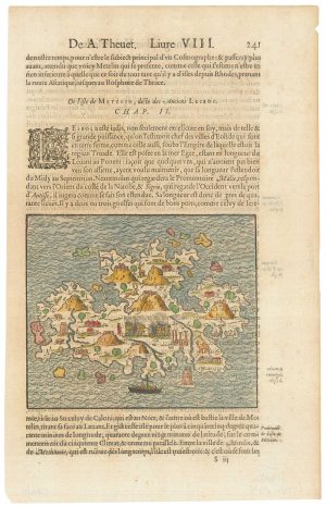
A 16th century woodcut map of Lesbos
THEVET, André Date: 1575Stock #: 21643 £300.00
Items by the same author
[ti_wishlists_addtowishlist]

[ti_wishlists_addtowishlist]

A 16th century miniature map of Saxony, Thuringia & Meissen
LANGENES, Barent. Date: 1599 Stock #: 21173 £50.00
[ti_wishlists_addtowishlist]

[ti_wishlists_addtowishlist]

[ti_wishlists_addtowishlist]

A 16th century miniature map of the Comtat Venaissin
LANGENES, Barent. Date: 1599 Stock #: 21137 £55.00
[ti_wishlists_addtowishlist]
