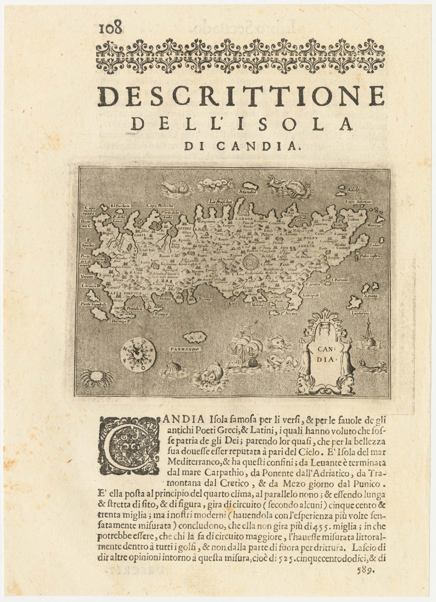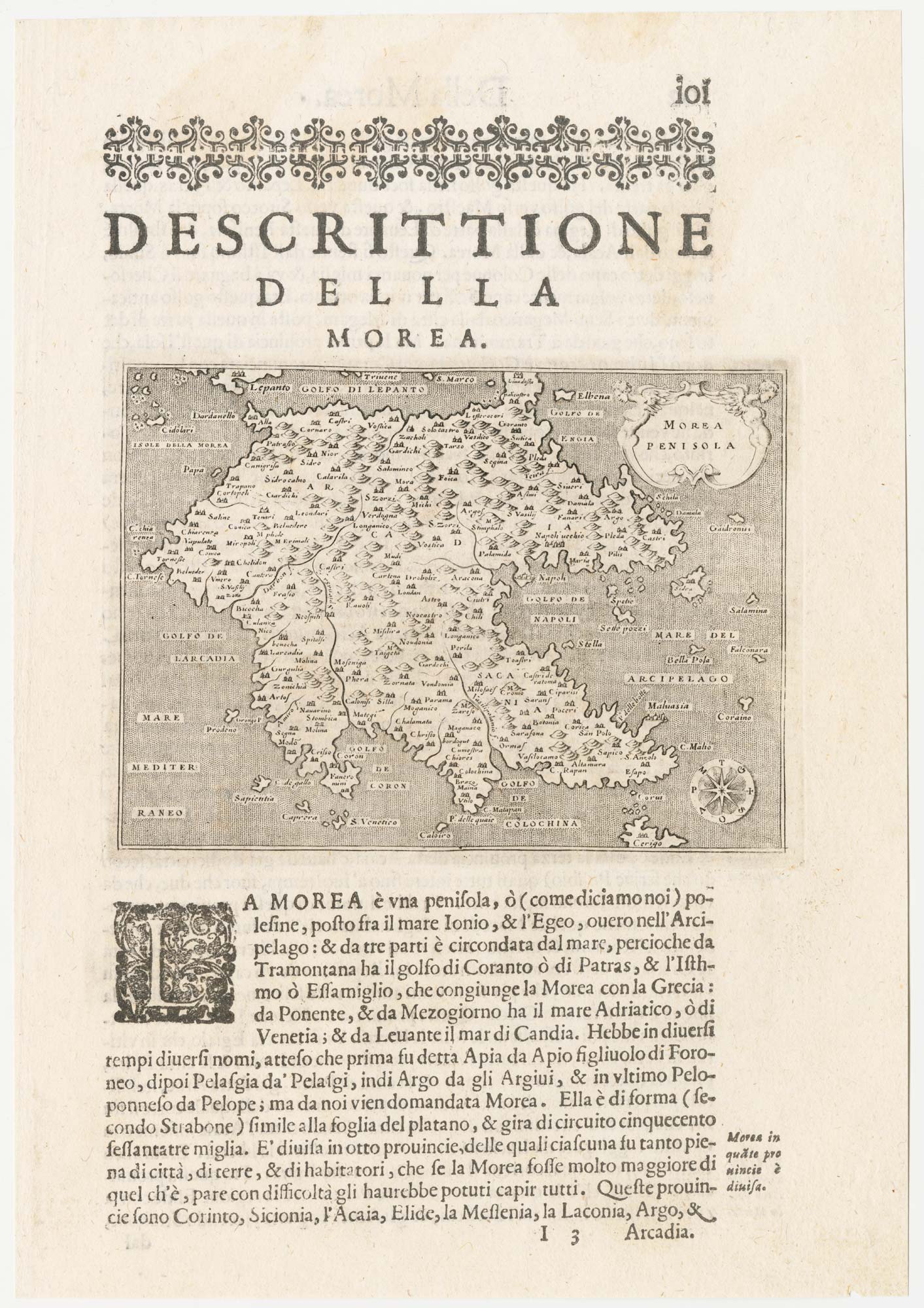


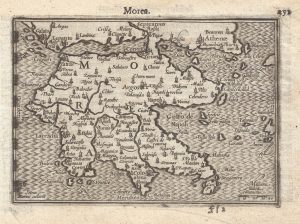
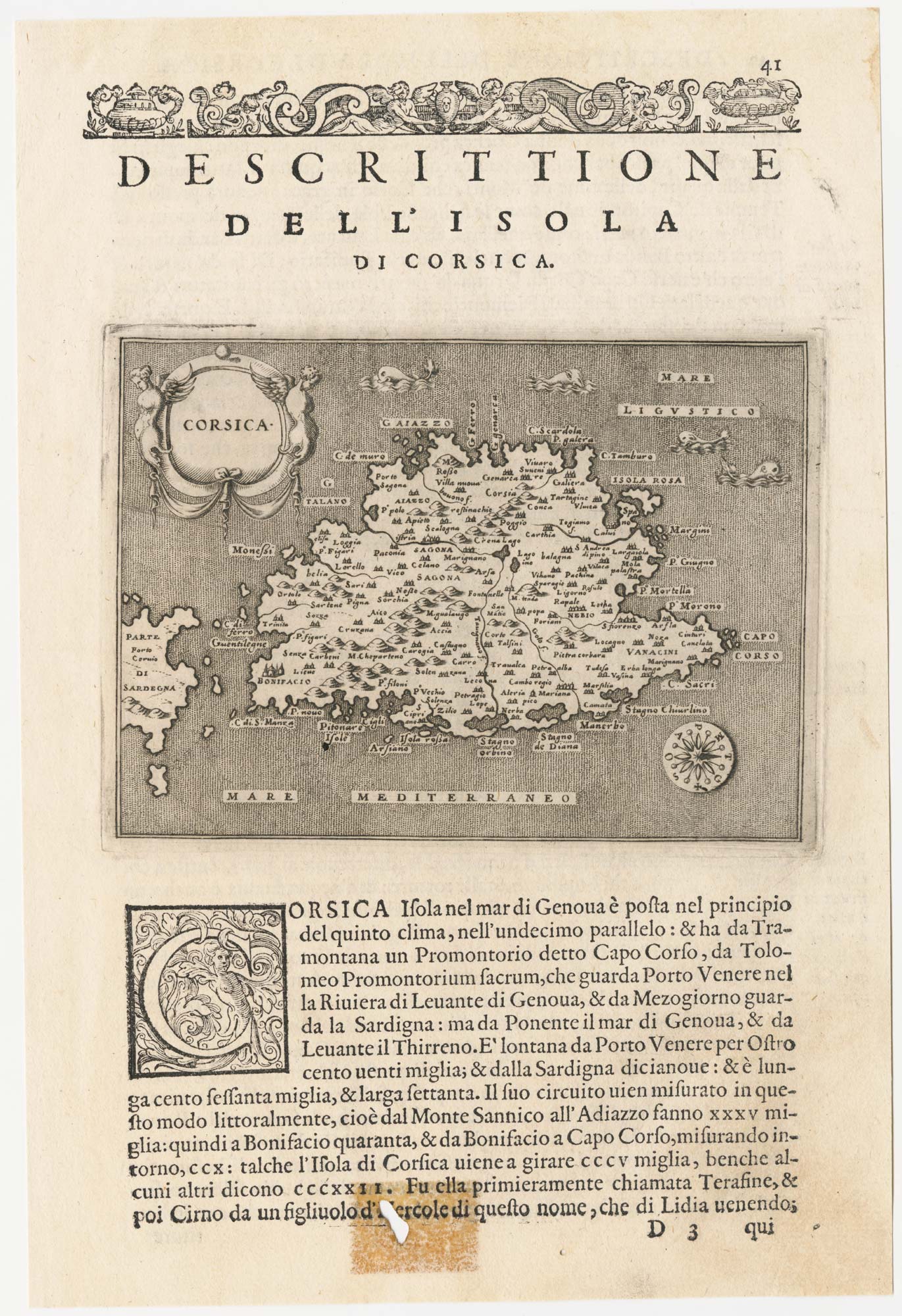
A 16th century map of the Morea
Morea Penisola.
Venice, c.1590. 110 x 150mm, set in Italian text.
£120.00
Description
An early map of the Morea (or Peloponnese), engraved by Girolamo Porro of Padua for Porcacchi's 'L'Isole del Mondo', first published in 1572.
Condition:
A good example.Related products
-
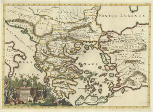
A 16th century map of Greece.
RUSCELLI, Girolamo. Date: 1557Stock #: 22244 £200.00 -
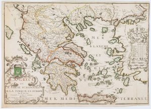
A scarce map 18th century map of Greece
BAUDRAND, Michel Antoine. Date: 1716Stock #: 22649 £440.00 -
A map of the early Church in Greece
SANSON, Nicolas. Date: 1704Stock #: 22064 £450.00 -
A 16th century miniature map of the Morea
LANGENES, Barent. Date: 1599Stock #: 21332 £160.00 -
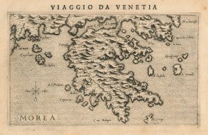
A 16th century Italian map of the Peloponnese
ROSACCIO, Giuseppe. Date: 1598Stock #: 25044 £325.00 -
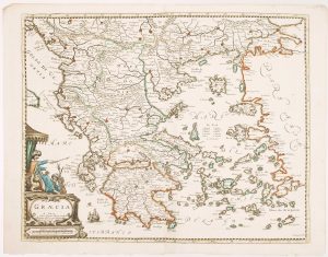
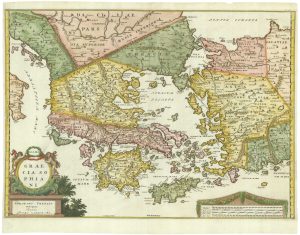
A scarce 17th century map of Greece
BEREY, Nicolas. Date: 1663Stock #: 16597 £2,200.00 -
Early 18th century map of Ancient Greece after Ortelius
AA, Pieter van der. Date: 1712Stock #: 21219 £400.00 -
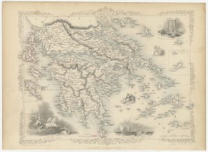
Mid 19th century map of Greece with decorative vignettes
TALLIS, John. Date: 1851Stock #: 23523 £140.00 -
A scarce 18th century map of Greece and the Aegean
FER, Nicolas de. Date: 1715Stock #: 16833 £1,250.00
Items by the same author
[ti_wishlists_addtowishlist]
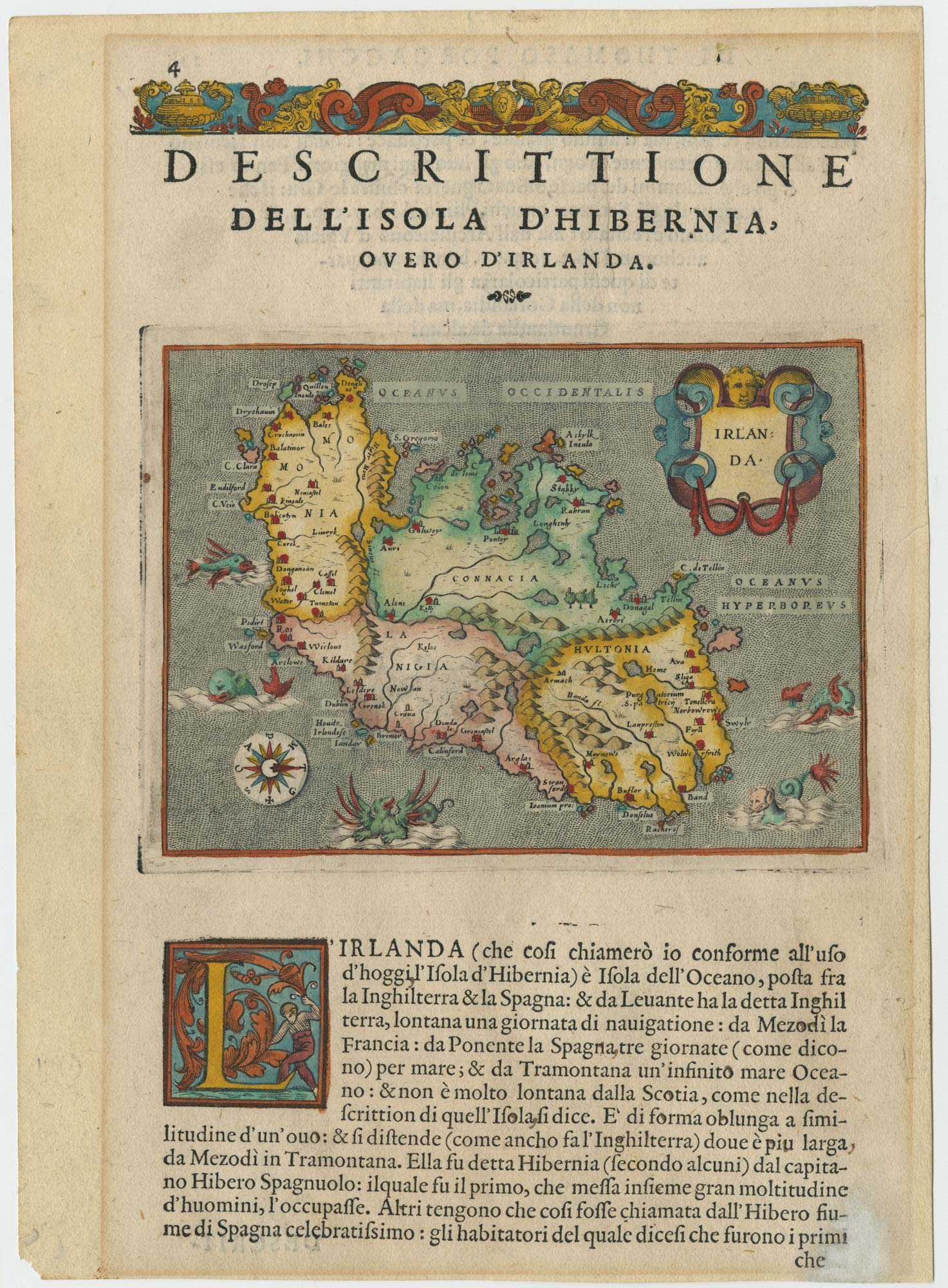
A 16th century map of Ireland with sea-monsters
PORCACCHI, Tomaso. Date: 1576 Stock #: 24013 £300.00
[ti_wishlists_addtowishlist]
[ti_wishlists_addtowishlist]
[ti_wishlists_addtowishlist]
[ti_wishlists_addtowishlist]
[ti_wishlists_addtowishlist]