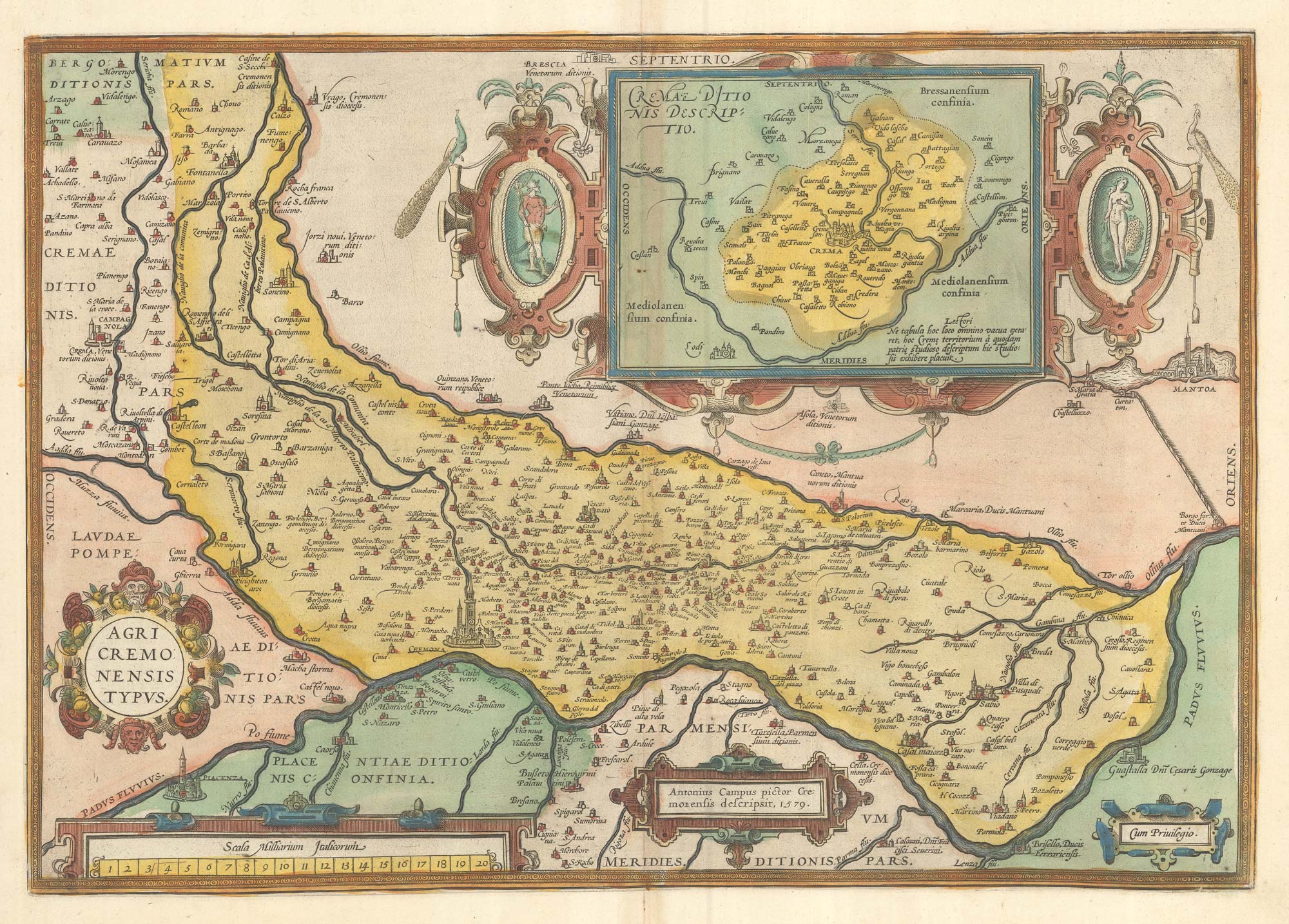


A 16th century map of the province of Cremona in fine colour.
Agri Cremonensis Typus.
Antwerp, 1595. Latin text verso. Original colour. 345 x 500mm.
£500.00
1 in stock
x
Question About This Item?
A 16th century map of the province of Cremona in fine colour. & ORTELIUS, Abraham.Stock #: 23813Similar to Sell?
Description
A very decorative map of Cremona, first issued in Ortelius's 'Theatrum Orbis Terrarum' atlas in 1579. A large strapwork cartouche contains an inset map of the environs of Crema,.
Condition:
A good example.References:
VAN DEN BROECKE: 127.Related products
-
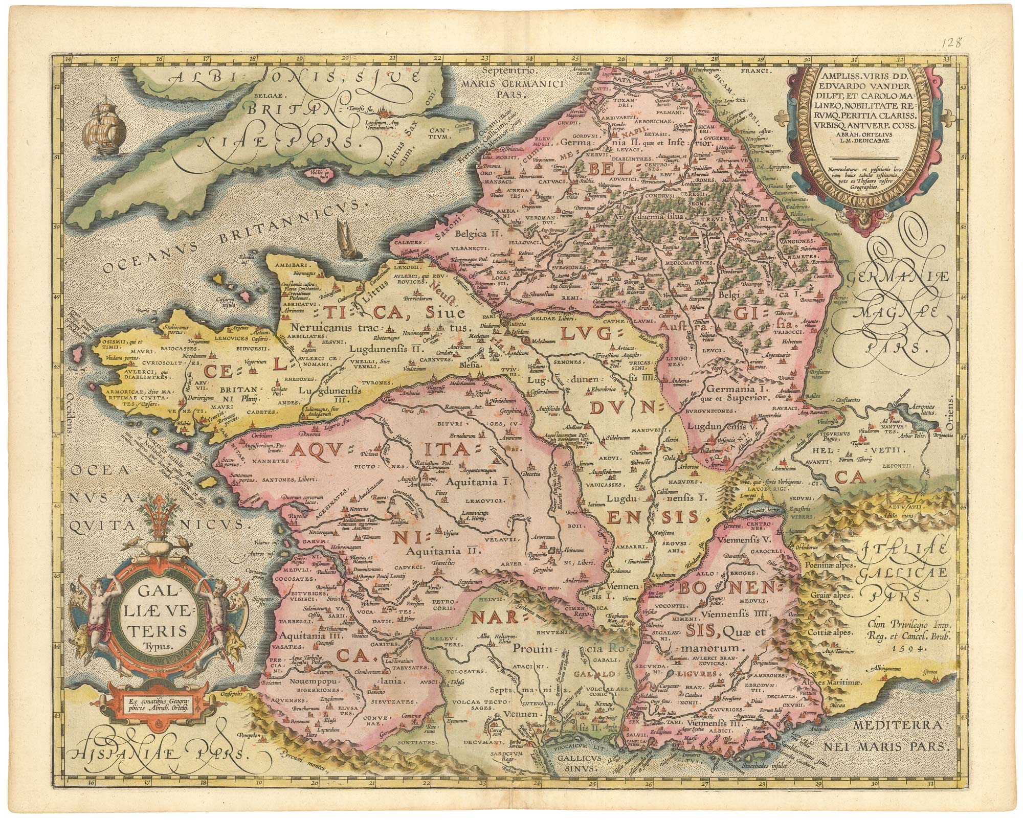
A large and detailed map of the Province of Cremona
LEGNANI, Giuseppe. Date: 1820Stock #: 20658 £950.00 -

Town plan of Milan
VALLARDI, Guiseppe and Pietro. Date: 1830Stock #: 17535 £220.00 -
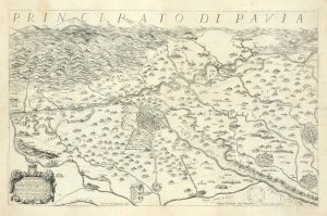
The first topographic map of Pavia in North Italy
CORTE, Lodovico. Date: 1654Stock #: 24739 £2,900.00 -
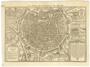
A 16th century map-view of Milan
BELLEFOREST, François de. Date: 1575Stock #: 25354 £1,500.00 -
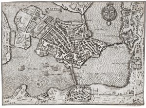
A scarce plan of Mantua
LEOPOLD, Joseph Friedrich. Date: 1711Stock #: 20711 £500.00 -
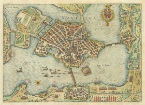
The Siege of Mantua in 1630
MERIAN, Matthaus. Date: 1650Stock #: 19674 £275.00 -
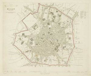
Detailed townplan of Milan
Society for the Diffusion of Useful Knowledge. Date: 1862Stock #: 14405 £130.00 -
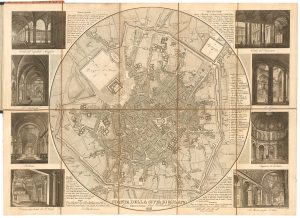
A tourist’s map of Milan with vignettes of interiors
STUCCHI, Stanislao. Date: 1858Stock #: 22984 £350.00 -

A superb prospect of Lake Como
GARIBOLDI, Gaetano. Date: 1840Stock #: 25240 £3,000.00
Items by the same author
[ti_wishlists_addtowishlist]

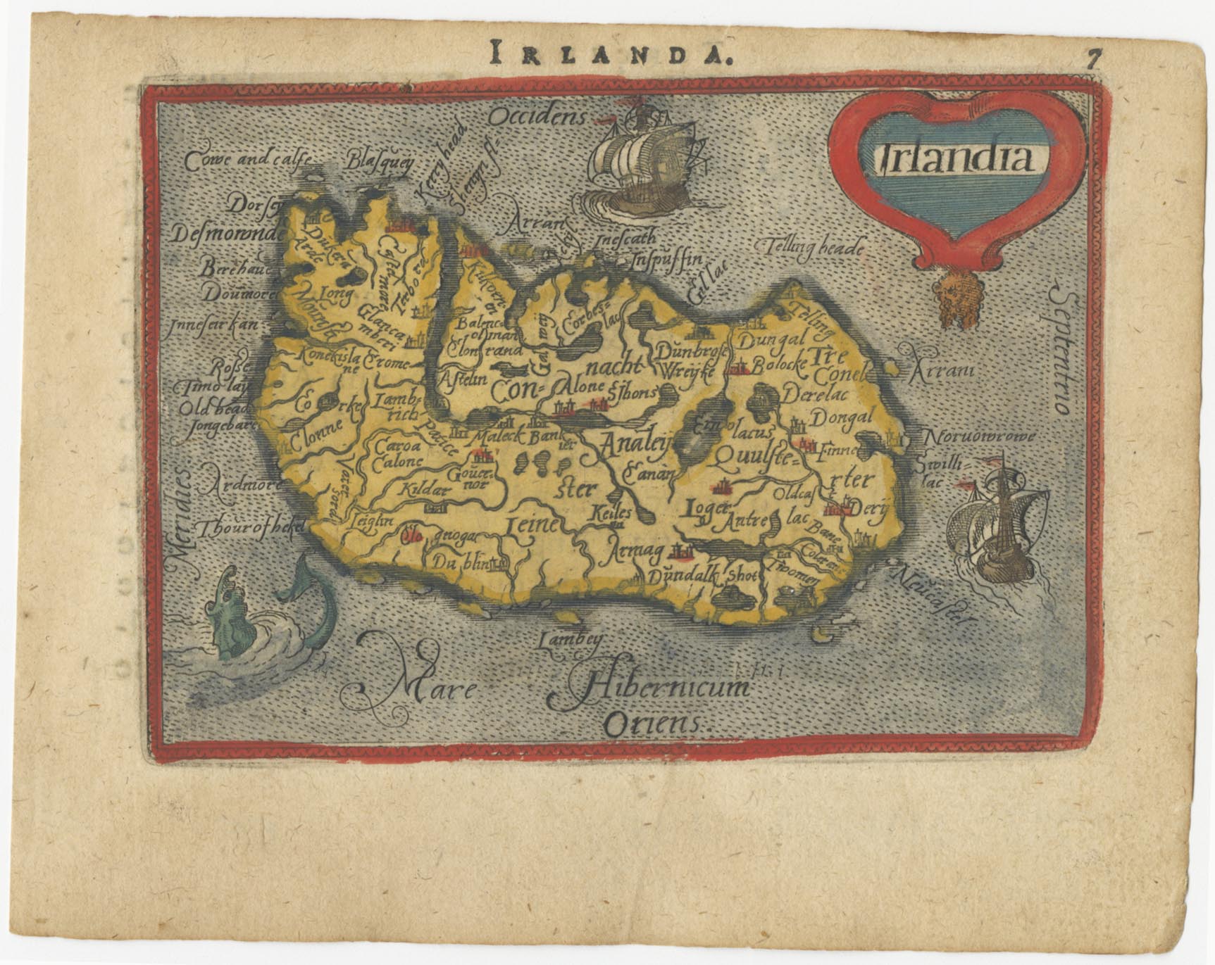
The rarest Ortelius atlas map of England and Wales
ORTELIUS, Abraham. Date: 1603 Stock #: 25643 £2,000.00
[ti_wishlists_addtowishlist]

[ti_wishlists_addtowishlist]

A 16th century miniature map of the Turkish Empire
ORTELIUS, Abraham. Date: 1593 Stock #: 24464 £280.00
[ti_wishlists_addtowishlist]
[ti_wishlists_addtowishlist]