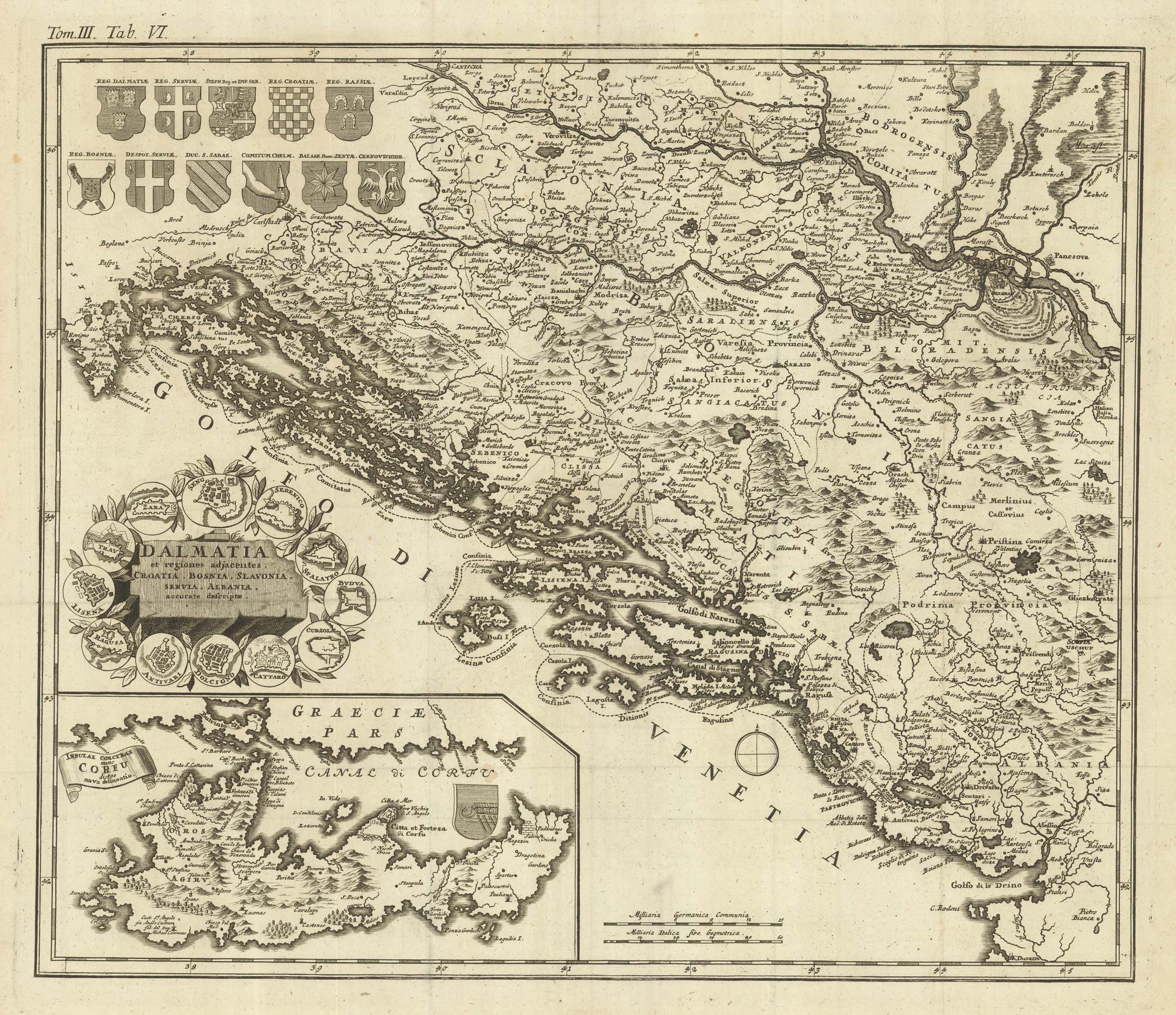


An uncommon 18th century map of Dalmatia
Dalmatia et regiones adjacentes, Croatia, Bosnia, Slavonia, Servia, Albania, accurate descriptiae.
Nuremberg, 1723. 495 x 570mm.
£980.00
1 in stock
x
Question About This Item?
An uncommon 18th century map of Dalmatia & MONATH, Peter Conrad.Stock #: 22156Similar to Sell?
Description
A map of the western Balkans, with the coasts of Croatia and Montenegro, with Bosnia and Herzegovina, and Serbia as far east as Belgrade. Corfu appears in a large inset.
Condition:
A good example.Related products
-
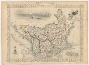
The Ottoman dominions in Europe
TALLIS, John. Date: 1851Stock #: 21627 £130.00 -
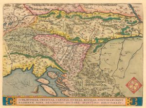
The Ortelius map of the Balkans from the scarce Italian edition
ORTELIUS, Abraham. Date: 1608Stock #: 24792 £400.00 -
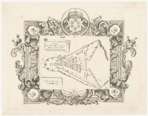
The Venetian fort of San Nicolo, Sibenik
CORONELLI, Vincenzo Maria. Date: 1700Stock #: 23369 £350.00 -
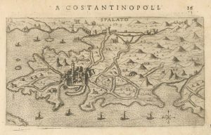
A 16th century map of Split, Croatia
ROSACCIO, Giuseppe. Date: 1598Stock #: 25049 £325.00 -
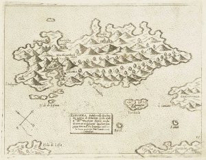
Scarce 16th century Venetian map of Hvar in Croatia
CAMOCIO, Giovanni Francesco. Date: 1572Stock #: 13482 £450.00 -
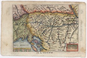
Miniature map of Dalmatia
ORTELIUS, Abraham. Date: 1655Stock #: 9016 £120.00 -
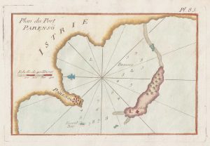
An 18th century chart of Porec, Croatia
ROUX, Joseph. Date: 1764Stock #: 21741 £80.00 -
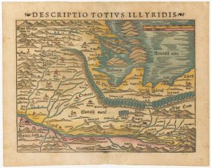
16th century woodblock map of Slovenia and Croatia
MUNSTER, Sebastian. Date: 1572Stock #: 24581 £375.00 -
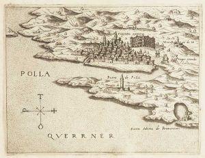
Scarce 16th century Venetian map of Pula, Croatia
CAMOCIO, Giovanni Francesco. Date: 1575Stock #: 13512 £380.00
Items by the same author
[ti_wishlists_addtowishlist]