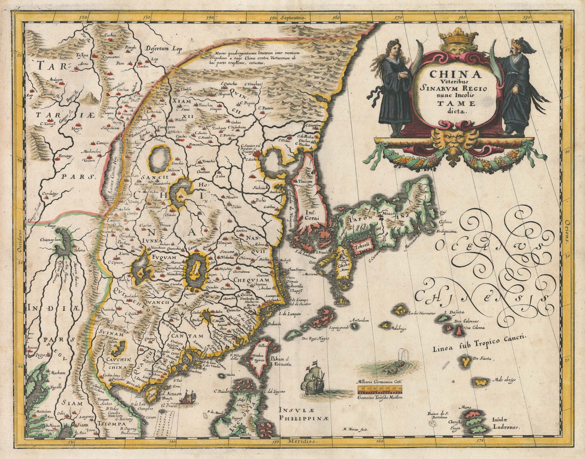


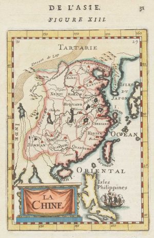
A mid-17th century map of China
China Veteribus Sinarum Regio nunc Incolis Tame dicta.
Frankfurt, c.1649. Coloured. 275 x 350mm.
£750.00
Description
An elegant map of China derived from Blaeu, representing China bounded in the west by the Great Wall, also showing Japan and Korea, which is depicted as an island. The map is decorated with a title cartouche in full colour and ships.
Condition:
A good example.Related products
-

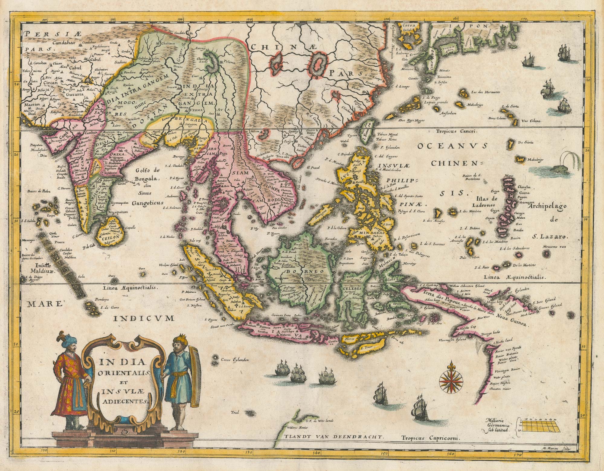
The first Western atlas of China
BLAEU, Johannes. Date: 1655Stock #: 20044 £29,000.00 -
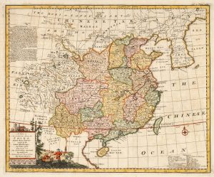
18th century English map of China
BOWEN, Emanuel. Date: 1748Stock #: 21029 £450.00 -
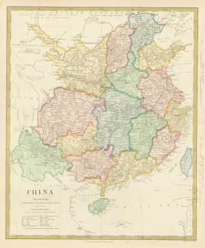
Mid-19th century map of China
Society for the Diffusion of Useful Knowledge. Date: 1850Stock #: 19862 £180.00 -
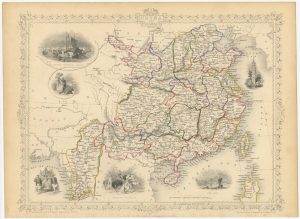
Victorian map of China with views of Hong Kong and Canton
TALLIS, John. Date: 1851Stock #: 23537 £250.00 -

The first Western publication of a Chinese map of China
PURCHAS, Samuel. Date: 1625Stock #: 23063 £6,000.00 -
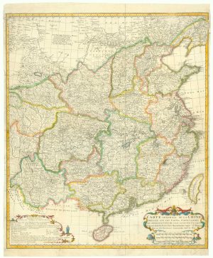
Important French map of China by D’Anville
ANVILLE, Jean Baptiste B. D'. Date: 1737Stock #: 12227 £900.00 -
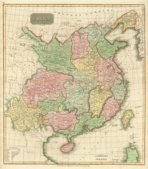
Early 19th century map of China published in Scotland
THOMSON, John. Date: 1815Stock #: 21890 £250.00 -

An Italian edition of an account of the Amherst Embassy to China
ELLIS, Henry. Date: 1819Stock #: 23936 £400.00 -
Miniature map of China
MALLET, Alain Manesson. Date: 1683Stock #: 18818 £190.00
Items by the same author
Add to Wishlist
Add to Wishlist
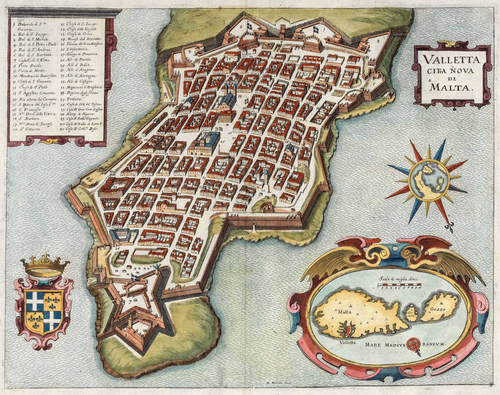
A 17th century plan of Valletta
MERIAN, Matthaus. Date: 1638 Stock #: 20690 £650.00
Add to Wishlist
Add to Wishlist
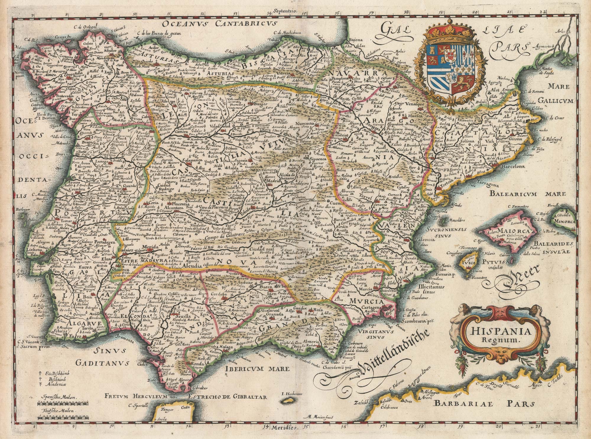
17th century map of Spain and Portugal
MERIAN, Matthaus. Date: 1640 Stock #: 22805 £300.00
Add to Wishlist
Add to Wishlist

17th century bird's-eye view of Siena
MERIAN, Matthaus. Date: 1640 Stock #: 24820 £480.00
Add to Wishlist
Add to Wishlist
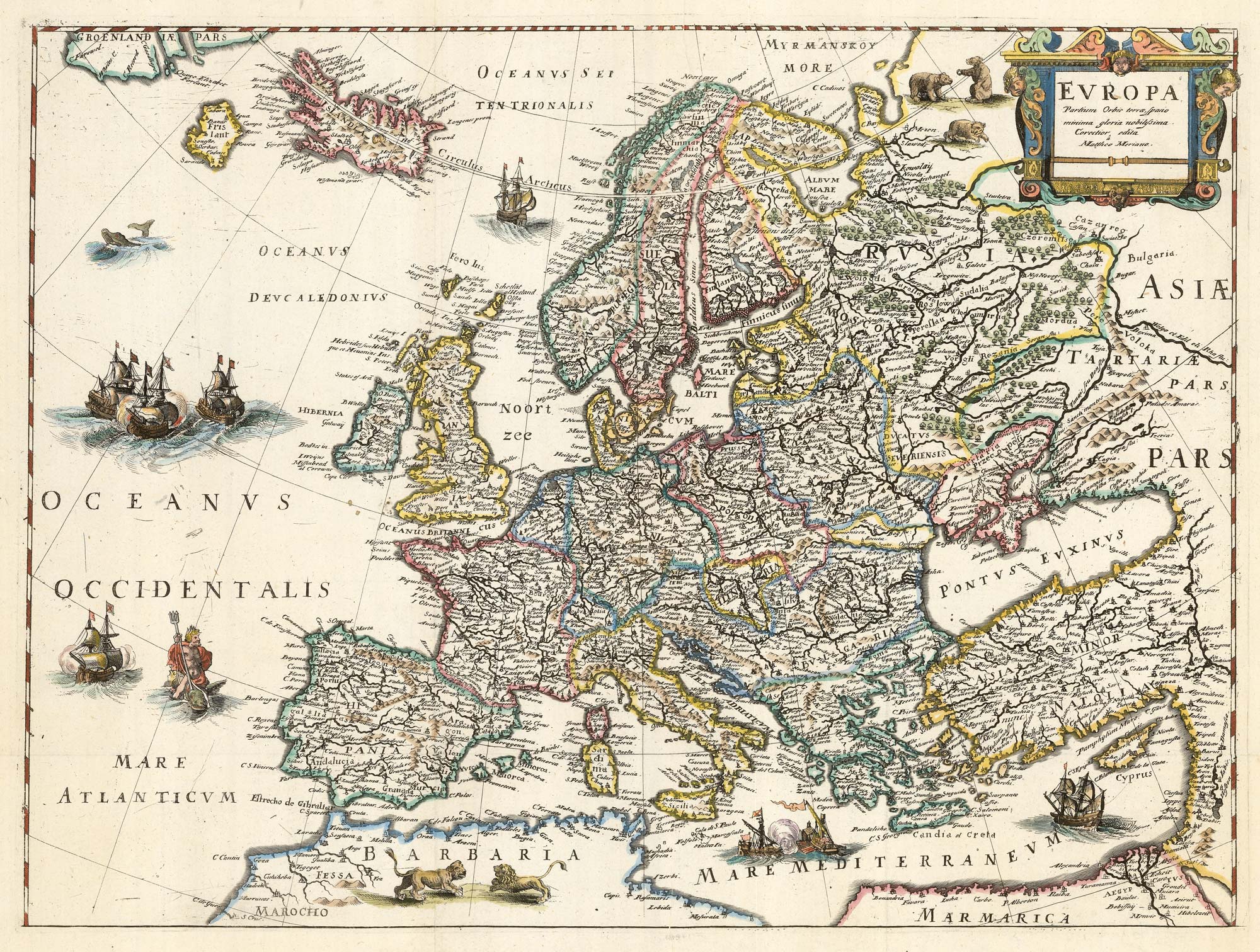
An uncommon 17th century map of Europe
MERIAN, Matthaus. Date: 1640 Stock #: 22936 £750.00
Add to Wishlist
Add to Wishlist

A mid-17th century plan of Moscow
MERIAN, Matthaus. Date: 1650 Stock #: 22919 £800.00
Add to Wishlist
Add to Wishlist