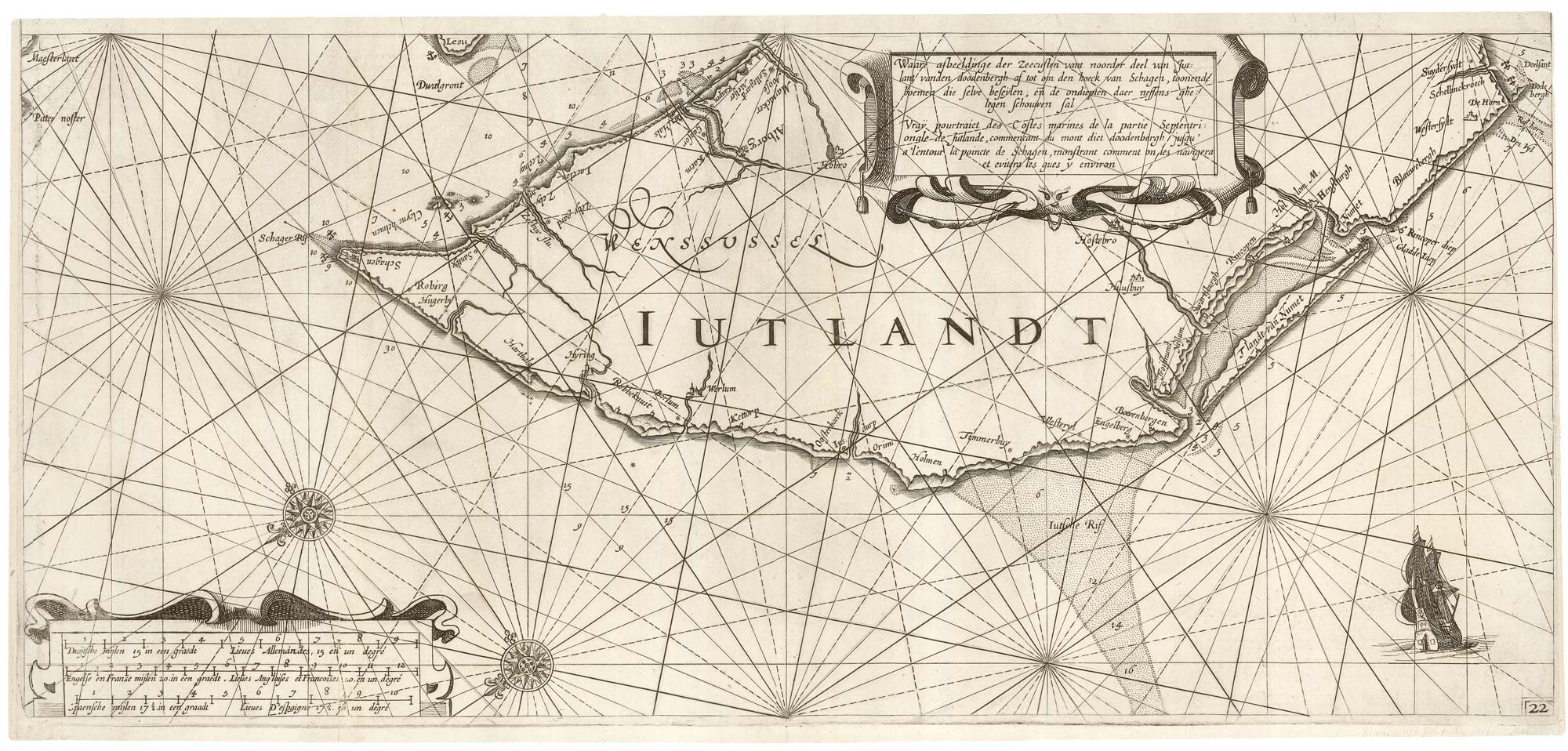


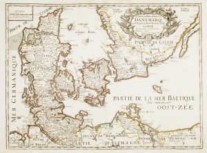
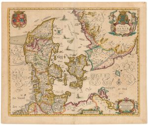
A rare 17th century sea chart of Jutland
Waare afbeeldinge der Zeecusten vant noorder deel van Jutlant vanden doodenbergh af tot om den hoeck van Schagen, toonende hoemen die selve beseÿlen, en̄ de ondiepten daer neffens ghelegen schouwen sal. Vraÿ pourtraict des Costes marines de la partie Septentrionale de Jutlande, commencant du mont dict doodenbergh jusqu'a'l'entour la poincte de Schagen, monstrant comment on les navigera et evitera les gues y environ.
Amsterdam, 1619. 255 x 555mm.
£2,000.00
Description
An early and very rare chart of north and west Jutland, orientated with north to the bottom left, with a title in Dutch and French.
It was published in Jansson's 'Het Licht der Zee-vaert', a direct copy of Willem Blaeu's sea atlas, possible because the privilege had lapsed. which prompted Blaeu to market a terrestrial atlas in direct competition to Jansson's.
The differences are the moving of the scale cartouche from Jutland to the bottom left corner and a different galleon bottom right.
Condition:
Trimmed to plate at top and top right, as issued..References:
KOEMAN Vol IV, p. 57.Related products
-
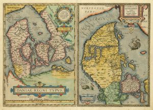
The third Ortelius map of Denmark
ORTELIUS, Abraham. Date: 1574Stock #: 25269 £600.00 -
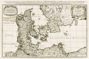
A two-sheet map of Denmark
JAILLOT, Alexis-Hubert. Date: 1700Stock #: 8323 £450.00 -
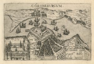
A 16th century town plan of Helsingor
VALEGIO, Francesco. Date: 1598Stock #: 24200 £160.00 -
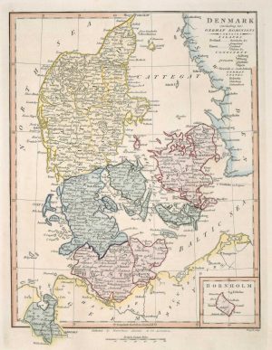
Map of Denmark
WILKINSON, Robert. Date: 1828Stock #: 17580 £50.00 -
17th century French map of Denmark
DU VAL, Pierre. Date: 1686Stock #: 11443 £200.00 -
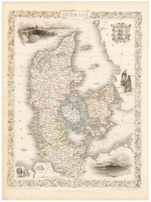
A mid 19th century map of Denmark with decorative vignettes
TALLIS, John. Date: 1851Stock #: 21622 £125.00 -
17th century map of Denmark
VISSCHER, Nicolas Jansz. Date: 1670Stock #: 20730 £475.00 -
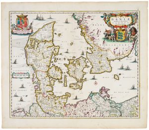
A separately-issued map of Denmark, the earliest dated map by de Wit
DE WIT, Frederick. Date: 1659Stock #: 23255 £750.00 -
18th century map of Denmark
HOMANN, Johann Baptist. Date: 1720Stock #: 8312 £300.00
Items by the same author
Add to Wishlist
Add to Wishlist

A magnificent example of the first folio sea atlas of the World
JANSSON, Jan. Date: 1650 Stock #: 23074 £47,500.00
Add to Wishlist
Add to Wishlist

A 17th century map of Ireland from a pocket atlas
JANSSON, Jan. Date: 1631 Stock #: 25065 £325.00
Add to Wishlist
Add to Wishlist

An early issue of Jansson's map of Ireland
JANSSON, Jan. Date: 1638 Stock #: 23865 £950.00
Add to Wishlist
Add to Wishlist

Map of the River Elbe with a prospect of Hamburg
JANSSON, Jan. Date: 1630 Stock #: 24816 £500.00
Add to Wishlist
Add to Wishlist
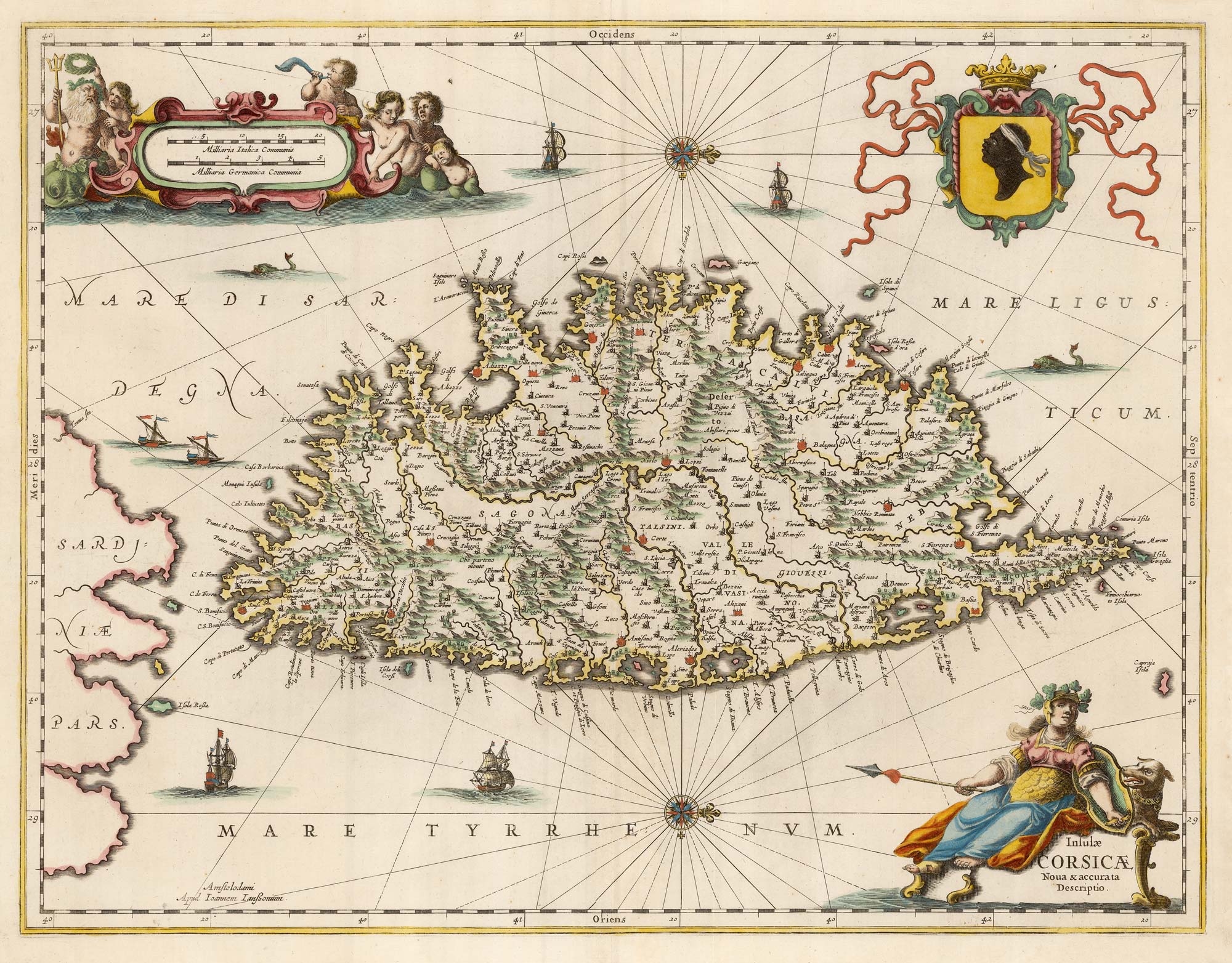
A decorative 17th century map of Corsica
JANSSON, Jan. Date: 1650 Stock #: 23619 £1,100.00
Add to Wishlist
Add to Wishlist
