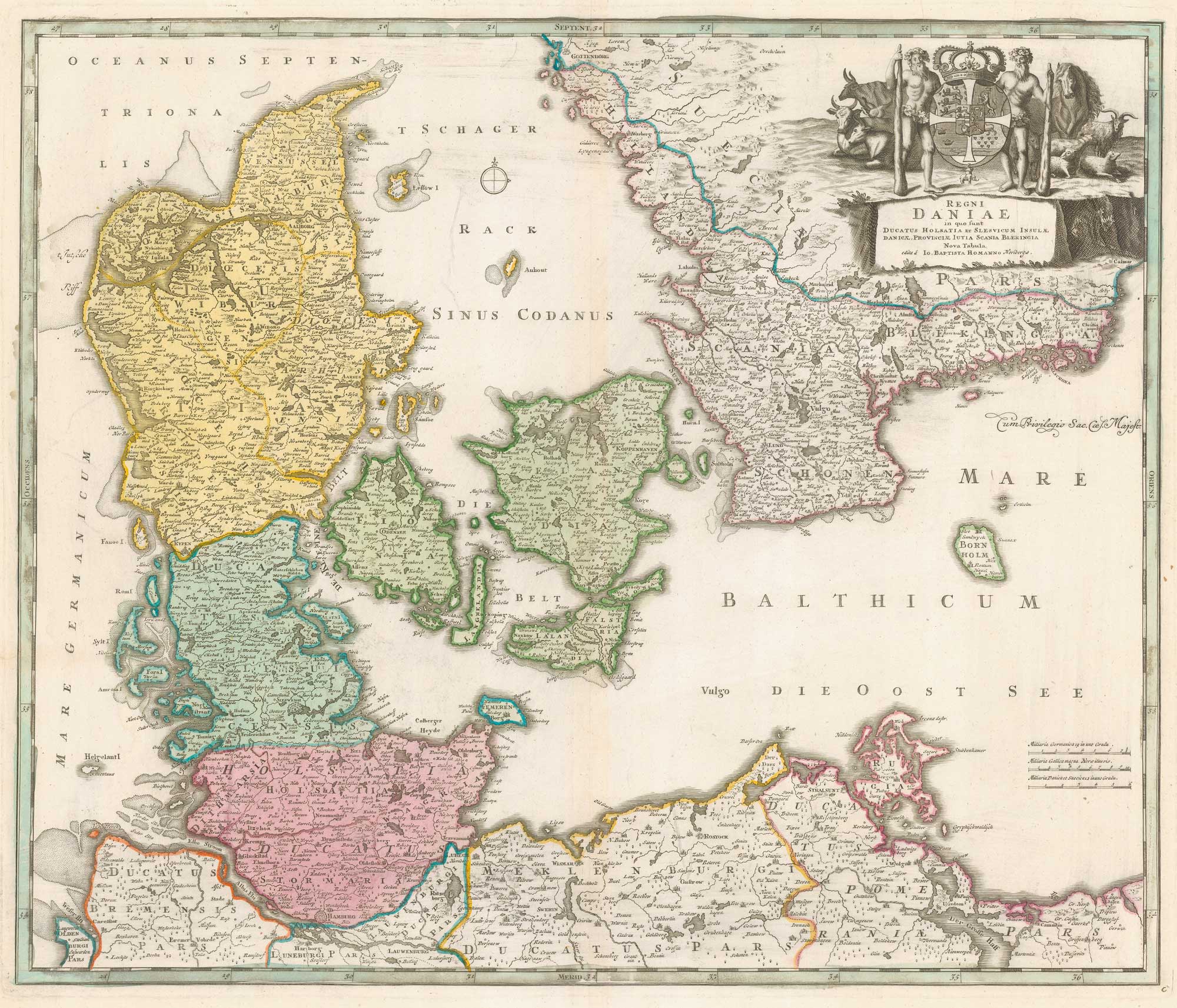


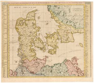
18th century map of Denmark
Regni Daniae in quo sund Ducatus Holsatia et Slesvicum Insulae, Danicae, Provinciae, Iustia, Scania Blekingia Nova Tabula.
Nuremberg, c.1720. Original colour. 490 x 590mm.
£300.00
Description
Colourful map of Denmark, then still possessing Schleswig and Holstein.
Condition:
A good example.Related products
-
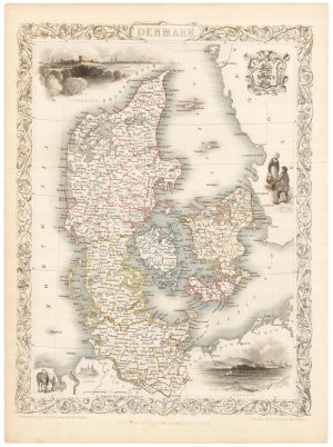
A mid 19th century map of Denmark with decorative vignettes
TALLIS, John. Date: 1851Stock #: 21622 £125.00 -
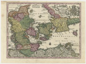
An 18th century map of Denmark
SEUTTER, Matthaus. Date: 1730Stock #: 24692 £200.00 -
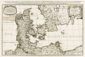
A two-sheet map of Denmark
JAILLOT, Alexis-Hubert. Date: 1700Stock #: 8323 £450.00 -
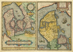
The third Ortelius map of Denmark
ORTELIUS, Abraham. Date: 1574Stock #: 25269 £600.00 -
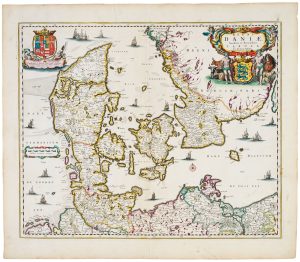
17th century map of Denmark
VISSCHER, Nicolas Jansz. Date: 1670Stock #: 20730 £475.00 -
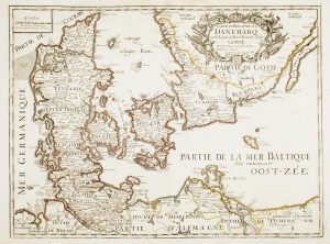
17th century French map of Denmark
DU VAL, Pierre. Date: 1686Stock #: 11443 £200.00 -
An early 18th century map of Denmark
CHATELAIN, Henri Abraham. Date: 1719Stock #: 22887 £320.00 -
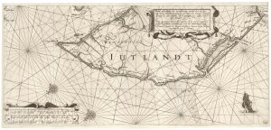
A rare 17th century sea chart of Jutland
JANSSON, Jan. Date: 1620Stock #: 25262 £2,000.00 -
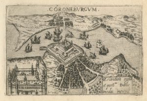
A 16th century town plan of Helsingor
VALEGIO, Francesco. Date: 1598Stock #: 24200 £160.00
Items by the same author
[ti_wishlists_addtowishlist]

[ti_wishlists_addtowishlist]
[ti_wishlists_addtowishlist]
[ti_wishlists_addtowishlist]

[ti_wishlists_addtowishlist]

[ti_wishlists_addtowishlist]