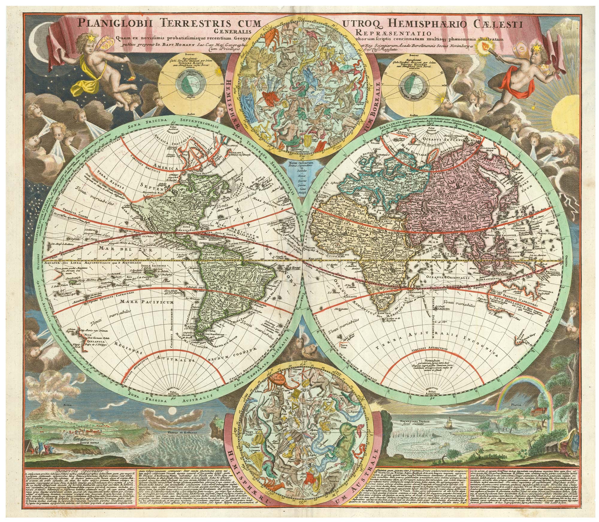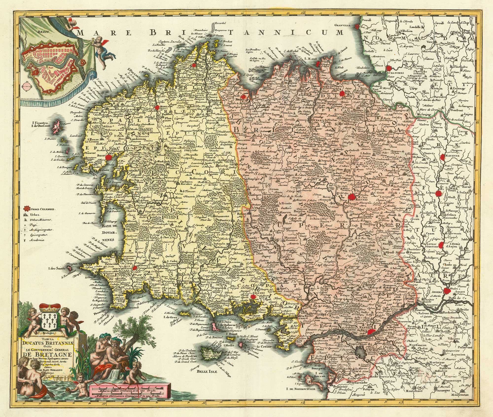


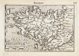
A detailed 18th century map of Brittany
Tabula Ducatus Britanniae Gallis. Le Gouvernem.t General de Bretagne in sous Novem Episcopatus...
Nuremberg, c.1720. Original colour with additions. 480 x 580mm.
£420.00
1 in stock
x
Question About This Item?
A detailed 18th century map of Brittany & HOMANN, Johann Baptist.Stock #: 21195Similar to Sell?
Description
A map of Brittany divided into its bishoprics, with an inset map of Brest in the top left corner and a decorative title cartouche surrounded by water nymphs.
Condition:
A good example.Related products
-
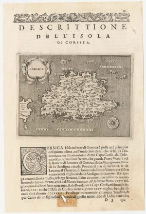
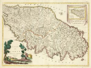
A 16th century map of Corsica
PORCACCHI, Tomaso. Date: 1590Stock #: 23212 £260.00 -
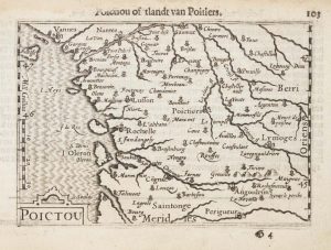
A 16th century miniature map of Poitou
LANGENES, Barent. Date: 1599Stock #: 21134 £60.00 -
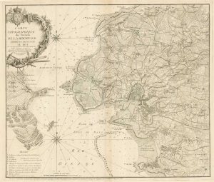
18th century separate-issue plan of La Rochelle
BEAURAIN, Jean de. Date: 1749Stock #: 19576 £700.00 -
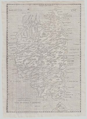
16th century woodcut map of Corsica
ALBERTI, Leandro. Date: 1588Stock #: 21495 £600.00 -
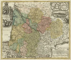
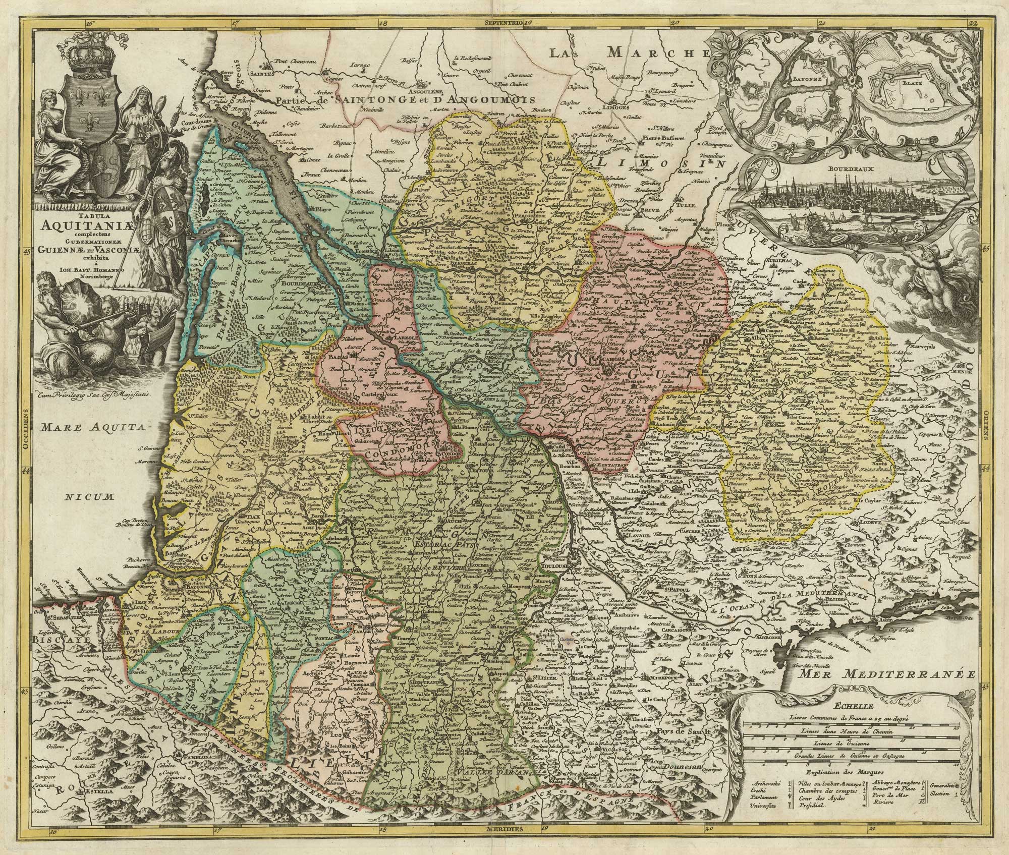
A map of Aquitaine in fine colour
HOMANN, Johann Baptist. Date: 1720Stock #: 21233 £350.00 -
A 16th century miniature map of northern Picardy
LANGENES, Barent. Date: 1599Stock #: 21145 £60.00 -
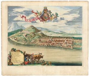
A scarce 17th century prospect of Evian-les-Bains in superb colour
BLAEU, Johannes. Date: 1682Stock #: 23265 £1,250.00 -
A 16th century miniature map of Brittany
LANGENES, Barent. Date: 1599Stock #: 21143 £70.00 -
A rare Italian map of Corsica
SOCIETA CALCOGRAFICA. Date: 1805Stock #: 23173 £1,800.00
Items by the same author
[ti_wishlists_addtowishlist]

[ti_wishlists_addtowishlist]
[ti_wishlists_addtowishlist]

[ti_wishlists_addtowishlist]

[ti_wishlists_addtowishlist]
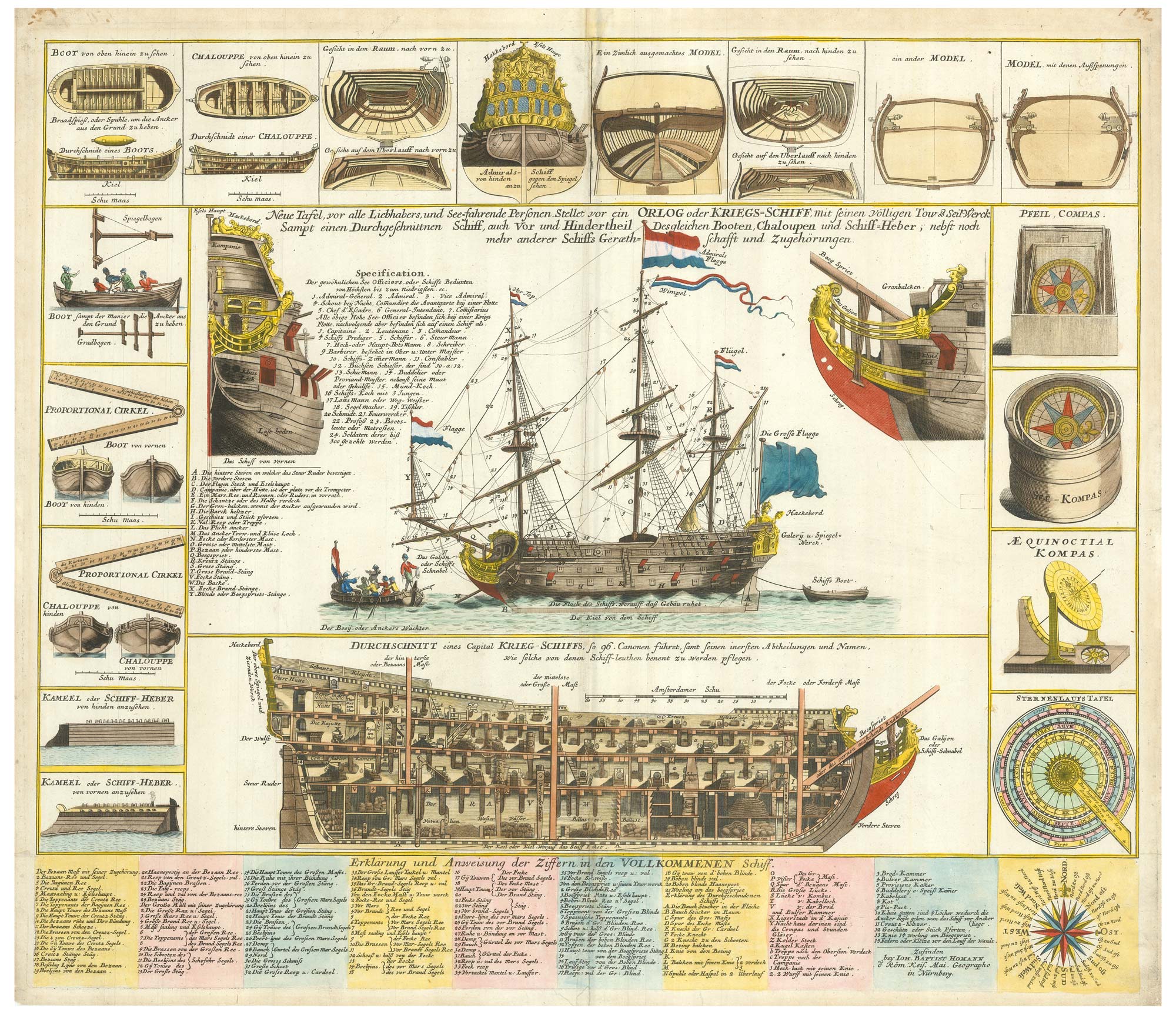
A decorative marine print of early 18th century warships
HOMANN, Johann Baptist. Date: 1730 Stock #: 24163 £1,250.00
[ti_wishlists_addtowishlist]