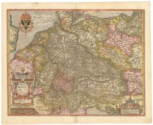
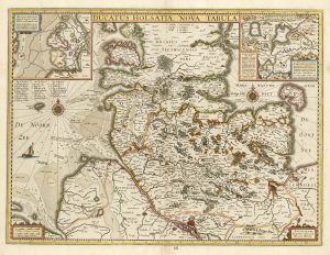
18th century map of Holstein
Tabula Generalis Holsatiae compleckens Holsatiae Dithmarsiae Stormariae et Vagriae Ducatus.
Nuremburg, c. 1720. Original colour. 487 x 580mm.
£200.00
Description
With a large ornamental title cartouche with figures and cattle, coats of arms and putti.
Condition:
A good example.Related products
-
A map of Germany compiled by Frans Hogenberg in fine colour
ORTELIUS, Abraham. Date: 1603Stock #: 23805 £650.00 -
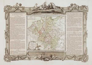
An 18th century map of Germany
BRION DE LA TOUR, Louis. Date: 1770Stock #: 15530 £220.00 -
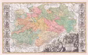
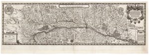
A scarce large-format map of Saxony in the 18th century
ZOLLMAN, Friedrich. Date: 1731Stock #: 17714 £1,800.00 -
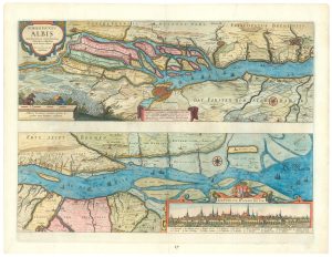
Map of the River Elbe with a prospect of Hamburg
JANSSON, Jan. Date: 1630Stock #: 24816 £500.00 -
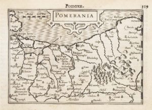
A 16th century miniature map of Pomerania
LANGENES, Barent. Date: 1599Stock #: 21175 £65.00 -
A scarce two-sheet map of Alsace
SANDRART, Jacob von. Date: 1702Stock #: 21118 £1,300.00 -
A 17th century map of the Duchy of Holstein
HONDIUS, Henricus. Date: 1632Stock #: 25099 £450.00 -
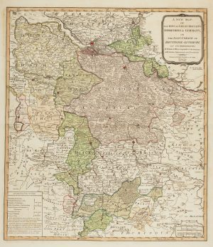
The German possessions of the Georgian monarchs
JEFFERYS, Thomas. Date: 1789Stock #: 7964 £280.00 -
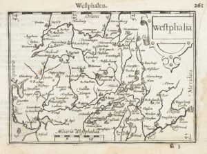
A 16th century miniature map of Westphalia
LANGENES, Barent. Date: 1599Stock #: 21168 £50.00
Items by the same author
[ti_wishlists_addtowishlist]

[ti_wishlists_addtowishlist]
[ti_wishlists_addtowishlist]
[ti_wishlists_addtowishlist]

[ti_wishlists_addtowishlist]
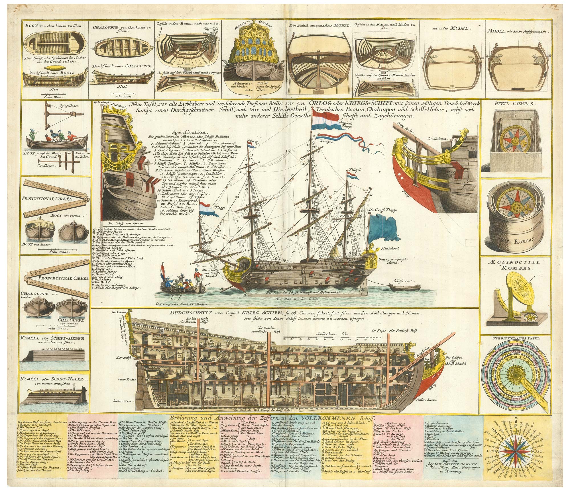
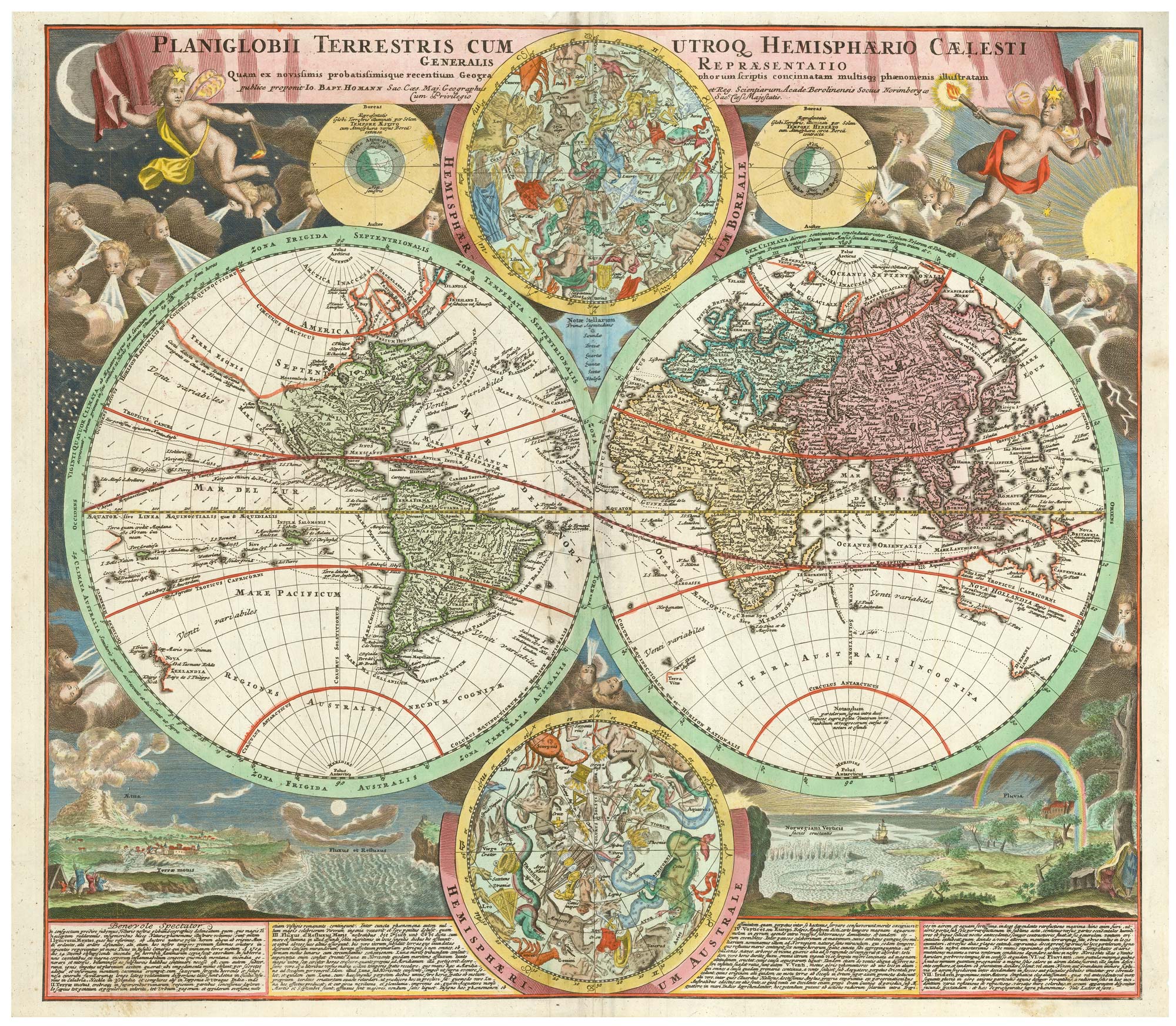
A decorative marine print of early 18th century warships
HOMANN, Johann Baptist. Date: 1730 Stock #: 24163 £1,250.00
[ti_wishlists_addtowishlist]