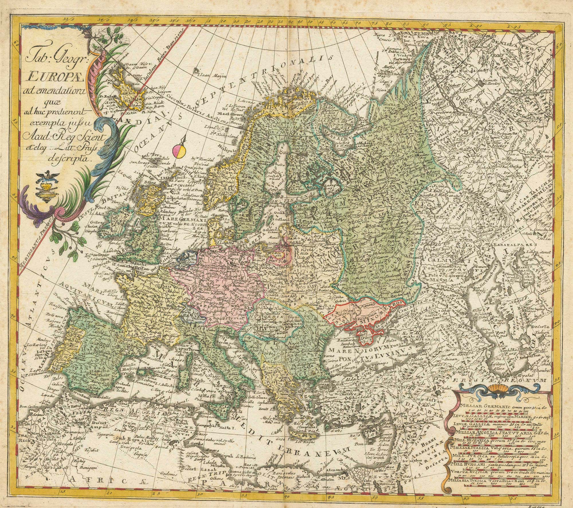


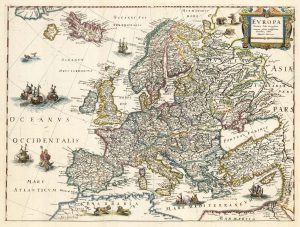
18th century map of Europe
Tabula Geographica: Europae ad Emendatiora quce ad huc prodierunt exempla jussu. Acad: Reg Scient eteleg; Litt: Pruss descripta
Berlin. c.1760. Old colour. 320 x 370 mm.
£440.00
Description
A good example of Euler's map of Europe with two decorative cartouches.
The privilege stamp of the Prussian Royal Academy of Sciences appears in the upper cartouche.
Condition:
A good example.Related products
-
17th century English carte à figure map of Europe
SPEED, John. Date: 1665Stock #: 23986 £2,600.00 -
A mid-18th century map of Europe showing the spread of religions
HAAS, Johann Matthias. Date: 1662Stock #: 23322 £650.00 -
A two-sheet map of Europe
JAILLOT, Alexis-Hubert. Date: 1705Stock #: 24059 £1,000.00 -
Rare map of the postal routes of Europe
PONGRATZ, Janos. Date: 1806Stock #: 25161 £550.00 -
An early 18th century map of Catholic Europe
SCHERER, Heinrich. Date: 1700Stock #: 23250 £600.00 -
First folio altas map of Europe to be engraved & published in England
BLOME, Richard. Date: 1669Stock #: 15151 £850.00 -
An uncommon 17th century map of Europe
MERIAN, Matthaus. Date: 1640Stock #: 22936 £750.00 -
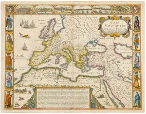
A 17th century map of the Roman Empire
SPEED, John. Date: 1676Stock #: 25079 £1,500.00 -
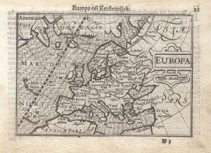
A 16th century miniature map of Europe
LANGENES, Barent. Date: 1599Stock #: 21307 £250.00
Items by the same author
[ti_wishlists_addtowishlist]