


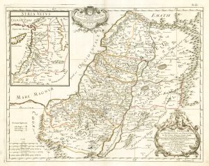
Map of the Holy Land and Cyprus for a history of the Crusades
Carte Générale de la Syrie, de la Palestine, et de L'Isle de Chypre, avec une partie de L'Asie Mineure, de l'Armenie, de la Mesapotamie, de l'Arabie et de l'Egypte, pour servir a l'Histoire de la Croisades...
Paris: Delamarche, c.1780 . Original outline colour. 365 x 497mm.
£750.00
1 in stock
x
Question About This Item?
Map of the Holy Land and Cyprus for a history of the Crusades & DELISLE, Guillaume.Stock #: 20578Similar to Sell?
Description
A fine map of the Holy Land Syria, with Cyprus, drawn by Guillaume Delisle in 1726 to illustrate the history of the Crusades. However it was only published after his death that year when his brother, Joseph-Nicolas Delisle, found the map in his brother's belongings and published it for the first time.
Condition:
A good example.References:
LAOR: 246.Related products
-
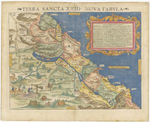
A 16th century woodcut map of the Holy Land
MUNSTER, Sebastian. Date: 1550Stock #: 25311 £800.00 -
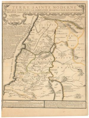
A scarce map of the Holy Land in the 18th century
FER, Nicolas de. Date: 1707Stock #: 24525 £250.00 -
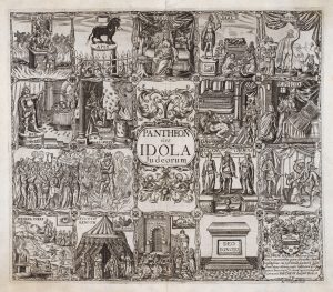
17th century Illustrations of gods recorded in the Old Testament
VAUGHAN, Robert. Date: 1650Stock #: 20704 £345.00 -
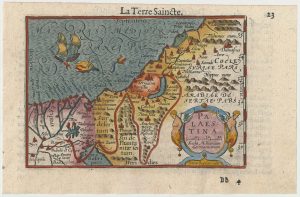
A minature map of the Holy Land
BERTIUS, Petrus. Date: 1609Stock #: 24848 £200.00 -
17th century map of the Holy Land
DE ROSSI, Giovanni Giacomo. Date: 1679Stock #: 19579 £230.00 -
A rare wall map of the Holy Land
NOLIN, Jean Baptiste. Date: 1785Stock #: 24500 £9,000.00 -

A 16th century woodcut map of the Holy Land & Cyprus
MUNSTER, Sebastian. Date: 1550Stock #: 25482 £220.00 -
A 16th century map of the Exodus, from a ‘Geneva Bible’
POSTEL, Guillaume. Date: 1599Stock #: 24854 £200.00 -
16th century map of the Eastern Mediterranean in rare early colour
MUNSTER, Sebastian. Date: 1550Stock #: 24441 £880.00
Items by the same author
[ti_wishlists_addtowishlist]
[ti_wishlists_addtowishlist]
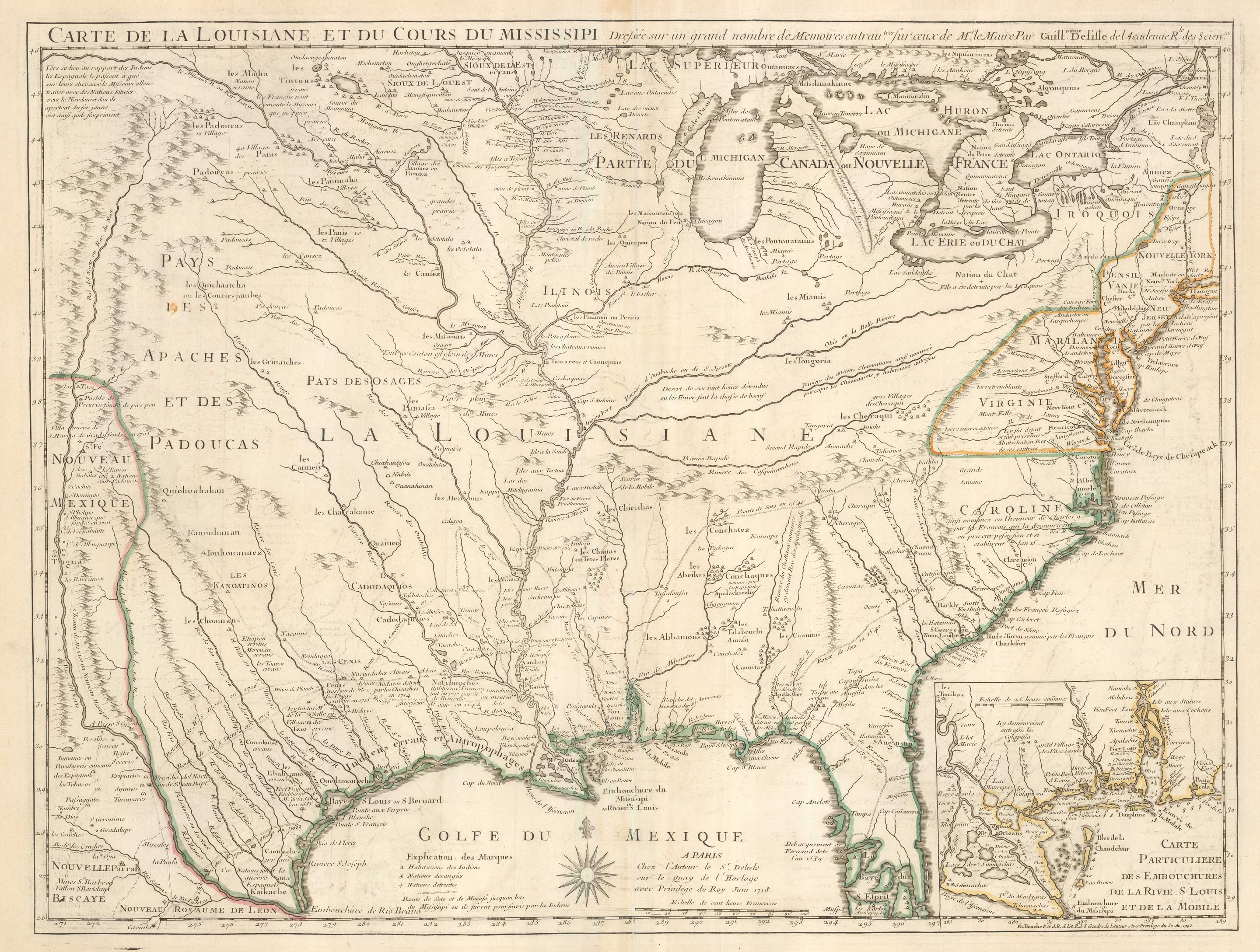
The first printed map to accurately map the Mississippi River
DELISLE, Guillaume. Date: 1745 Stock #: 25238 £850.00
[ti_wishlists_addtowishlist]
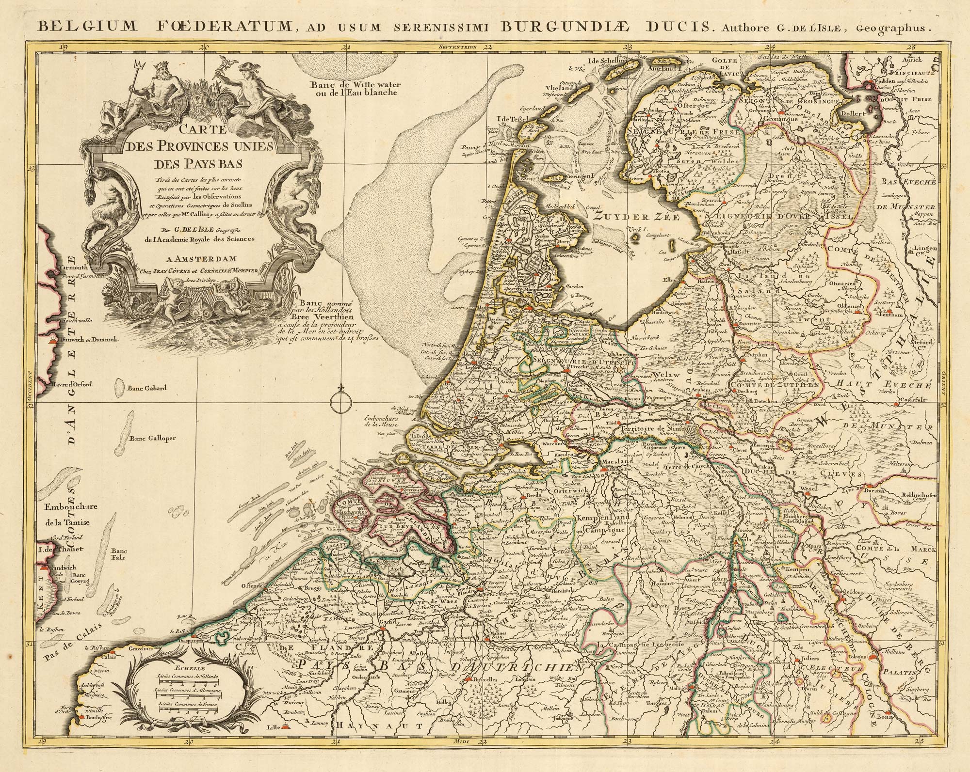
A detailed 18th century map of the Netherlands
DELISLE, Guillaume. Date: 1730 Stock #: 24456 £300.00
[ti_wishlists_addtowishlist]
[ti_wishlists_addtowishlist]
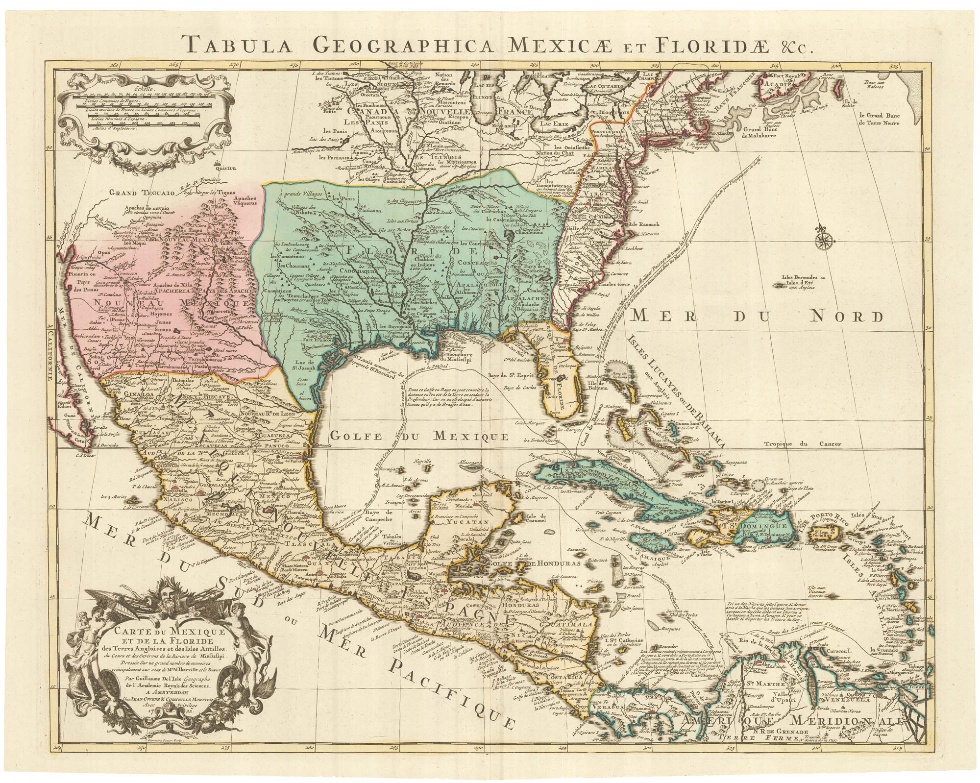
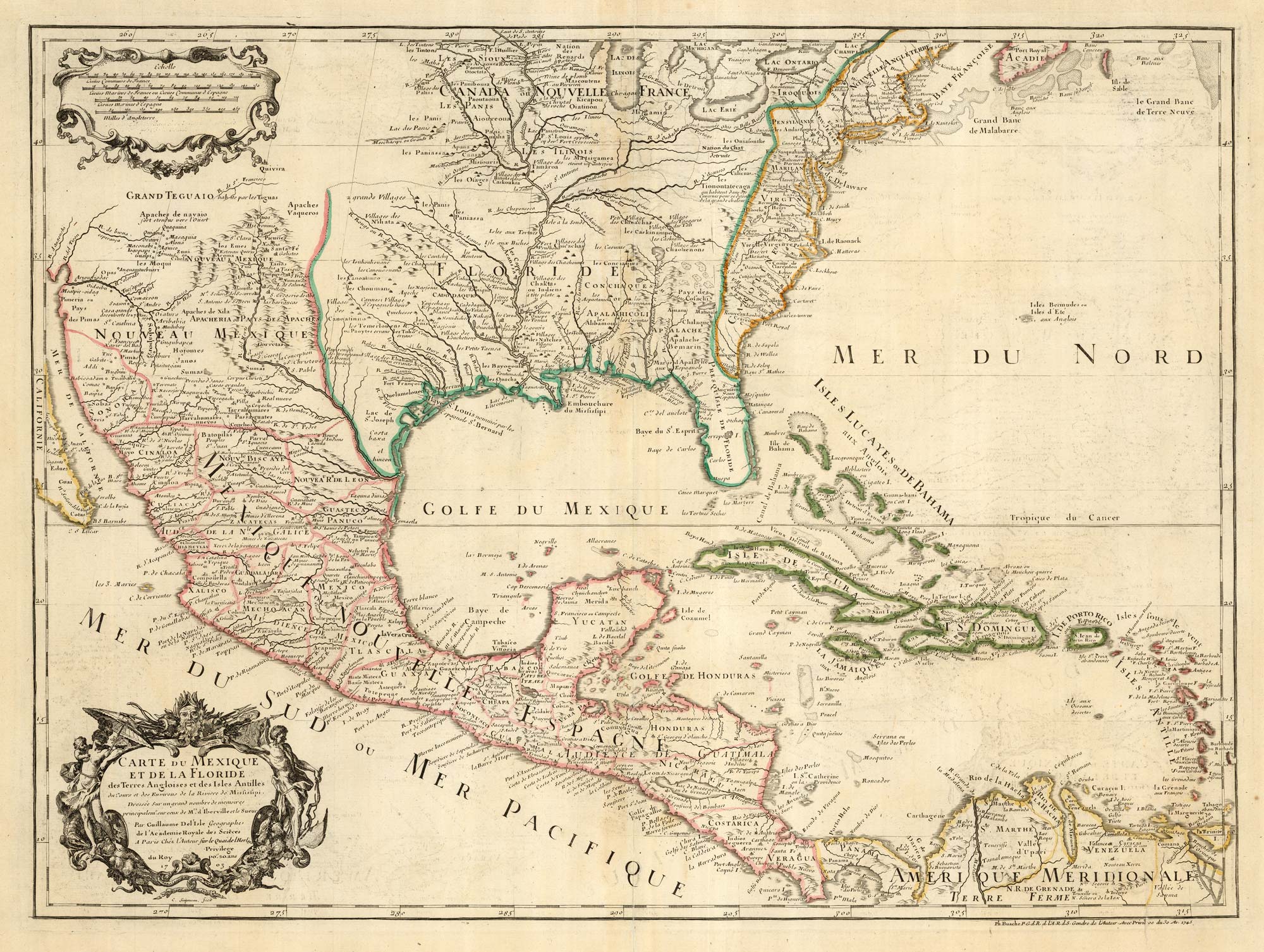
A Dutch edition of the first printed map to accurately plot the Mississippi River
DELISLE, Guillaume. Date: 1722 Stock #: 23463 £1,700.00
[ti_wishlists_addtowishlist]
