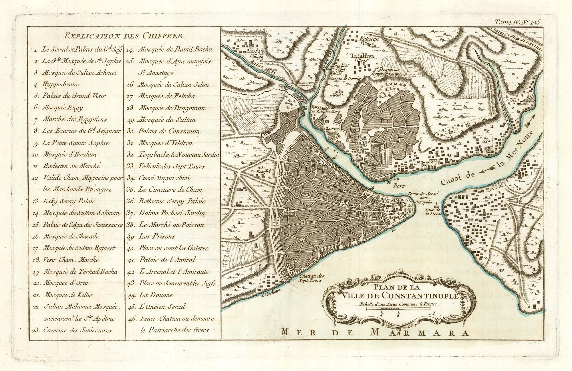


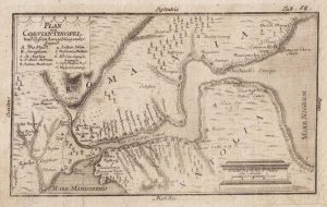
An 18th century map of Constantinople
Plan de la Ville de Constantinople.
Paris, 1764. Original colour. 230 x 370mm.
£280.00
1 in stock
x
Question About This Item?
An 18th century map of Constantinople & BELLIN, Jacques-Nicolas.Stock #: 22656Similar to Sell?
Description
A fine example of this map of Istanbul and Pera published in Bellin's scarce atlas 'Le petit atlas maritime', with a 46-point key.
Condition:
A good example.Related products
-
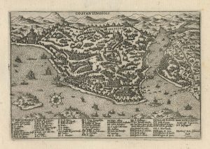
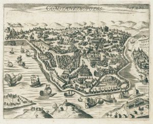
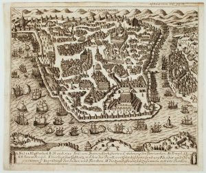
A 16th century town plan of Constantinople
ROTA, Martin. Date: 1598Stock #: 23182 £450.00 -
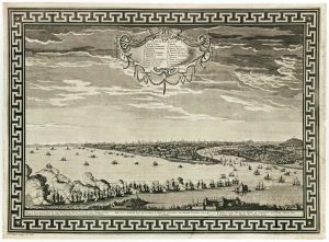
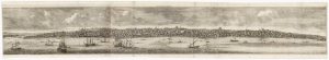
A very scarce prospect of Constantinople published in Florence
BASEGGIO, Massimino. Date: 1787Stock #: 16370 £4,500.00 -
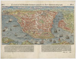
A 16th century prospect of Constantinople
MUNSTER, Sebastian. Date: 1560Stock #: 25307 £750.00 -
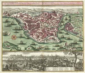
An 18th century town plan and prospect of Constantinople
SEUTTER, Matthaus. Date: 1735Stock #: 23453 £2,000.00 -
A map of Istanbul presented as a bird’s eye view
MYLLER, Angelicus Maria. Date: 1730Stock #: 15408 £400.00 -
Coronelli’s map of the Bosphorus from a Farnese Edition
CORONELLI, Vincenzo Maria. Date: 1697Stock #: 23857 £980.00 -
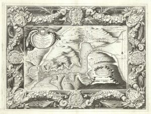
A plan of the Bosphorus
Anonymous. Date: 1730Stock #: 20528 £140.00 -
A scarce bird’s-eye view of Constantinople
Anonymous. Date: 1731Stock #: 16082 £1,200.00 -
Fabulous prospect of Istanbul in the 17th century by a professional artist
BRUYN, Cornelis de. Date: 1714Stock #: 23079 £2,800.00
Items by the same author
[ti_wishlists_addtowishlist]
[ti_wishlists_addtowishlist]
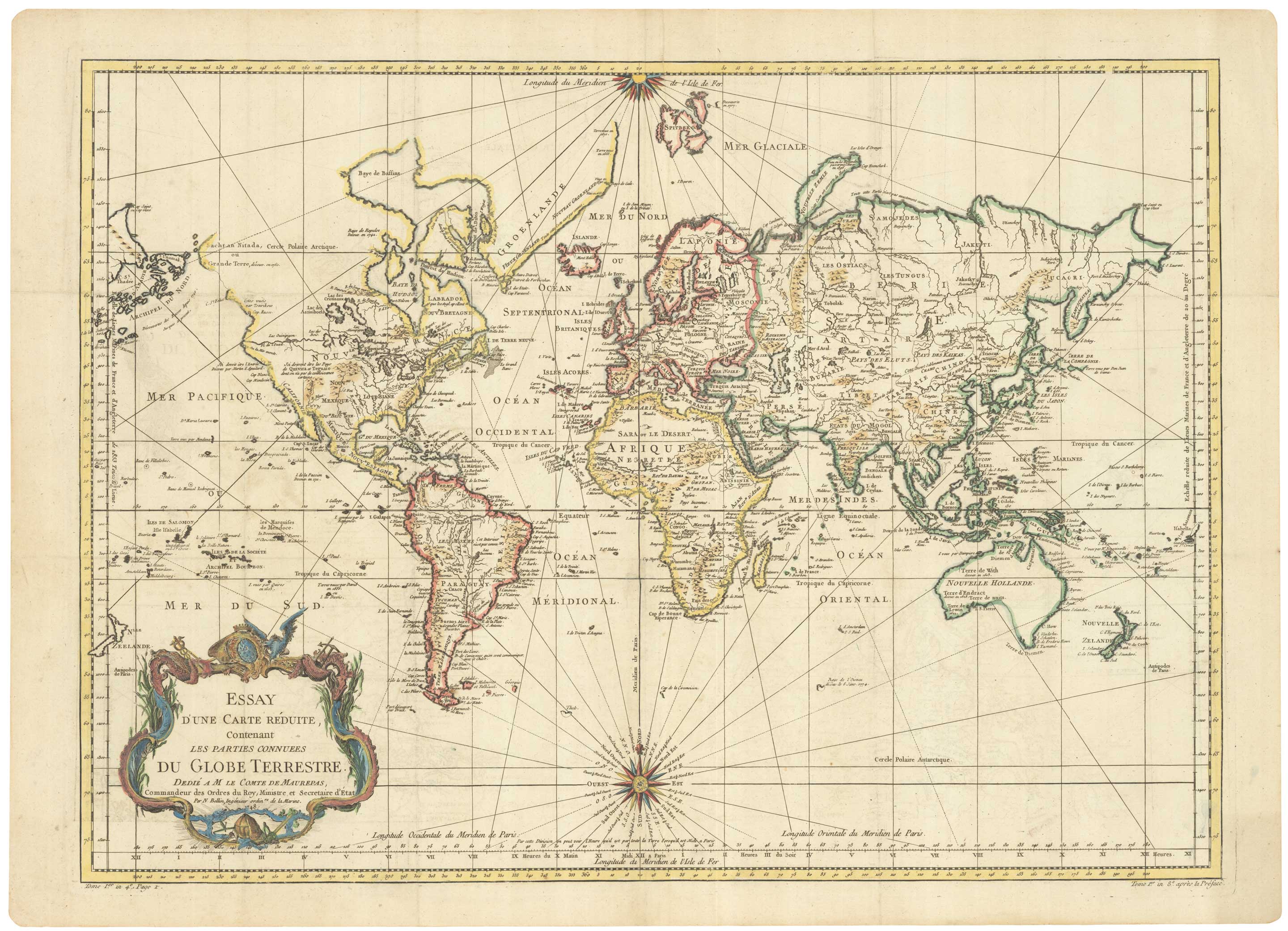
A large sea chart of the World on Mercator's Projection
BELLIN, Jacques-Nicolas. Date: 1775 Stock #: 25116 £1,600.00
[ti_wishlists_addtowishlist]
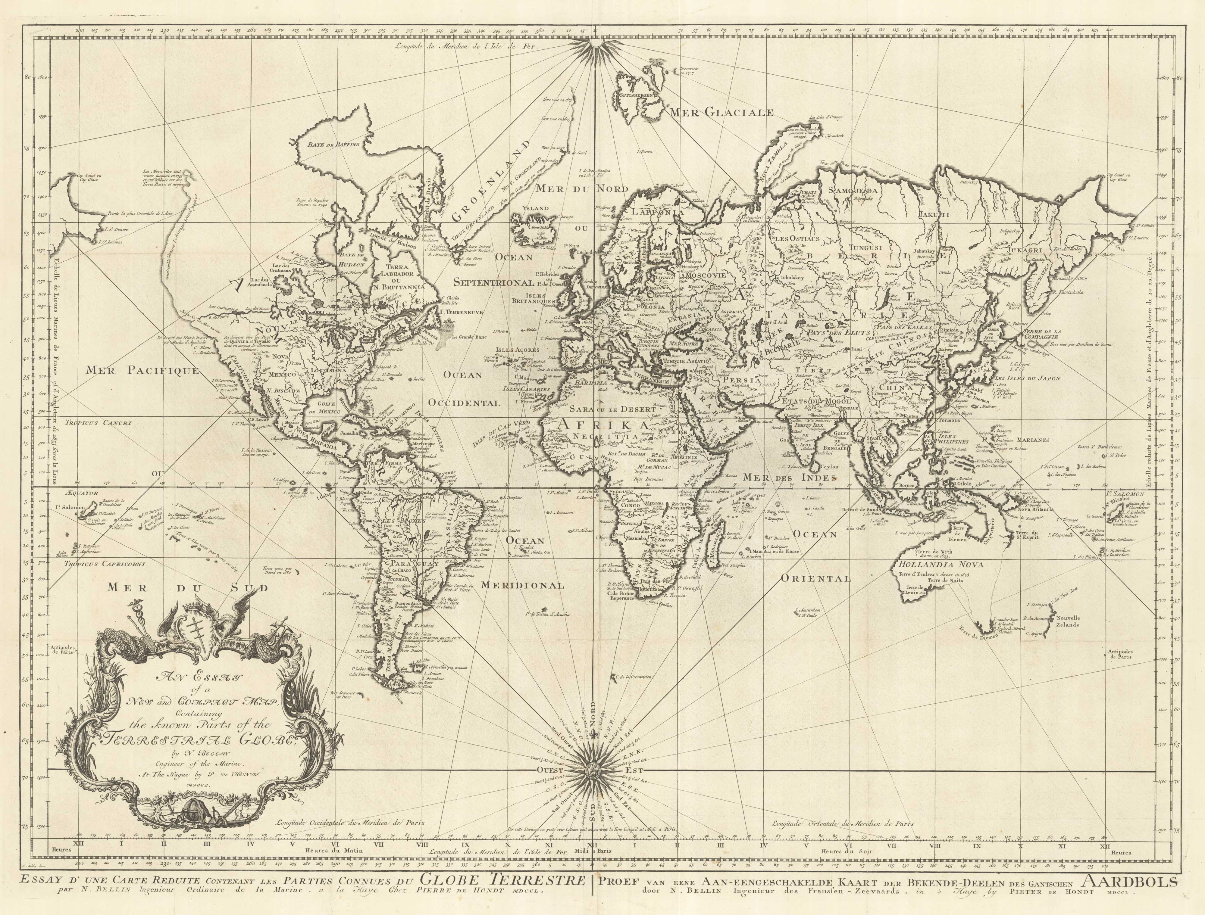
18th century nautical chart on Mercator's Projection
BELLIN, Jacques-Nicolas. Date: 1750 Stock #: 25151 £1,600.00
[ti_wishlists_addtowishlist]
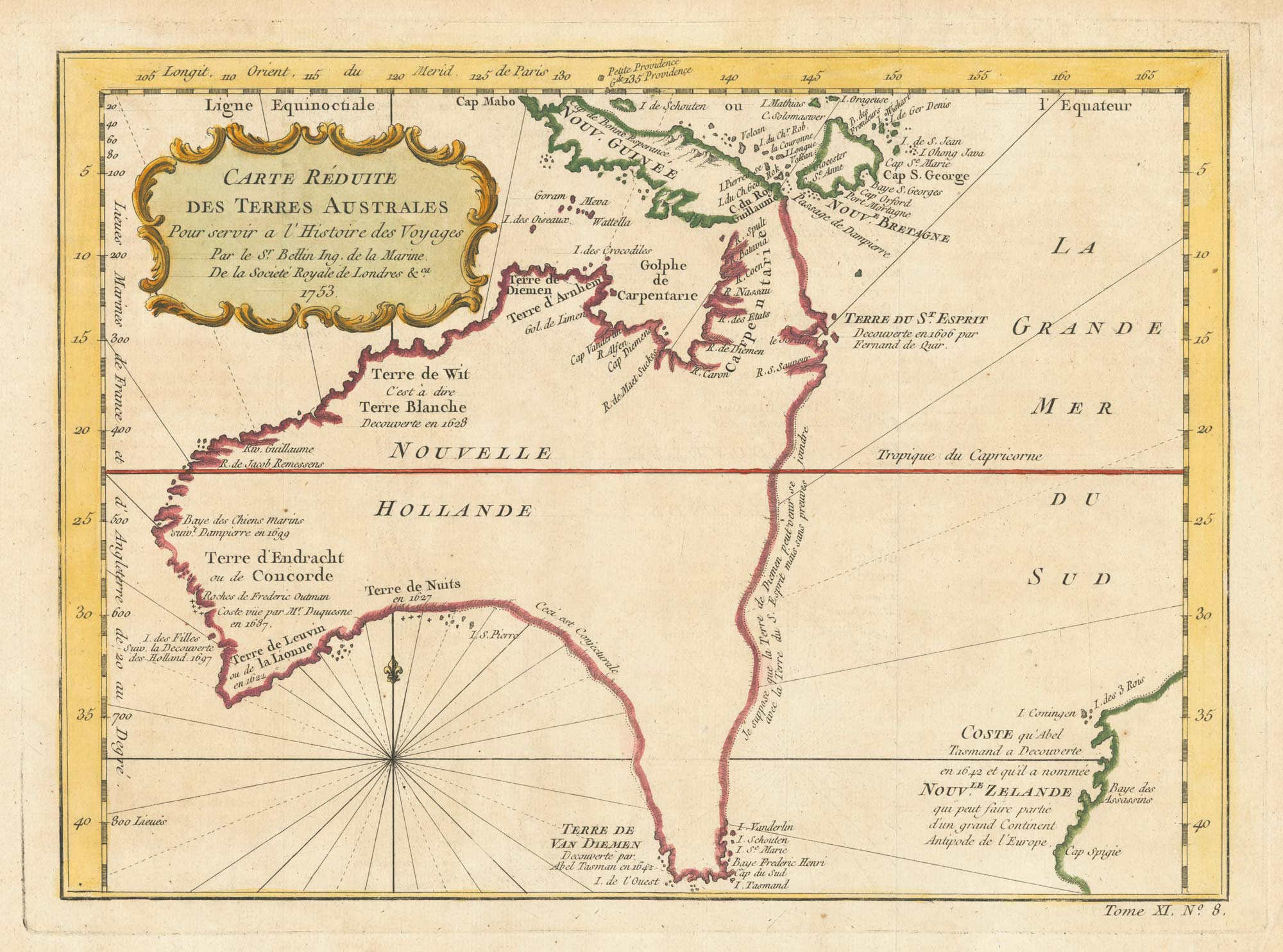
A pre-Cook discoveries map of Australia
BELLIN, Jacques-Nicolas. Date: 1753 Stock #: 25052 £1,000.00
[ti_wishlists_addtowishlist]
[ti_wishlists_addtowishlist]