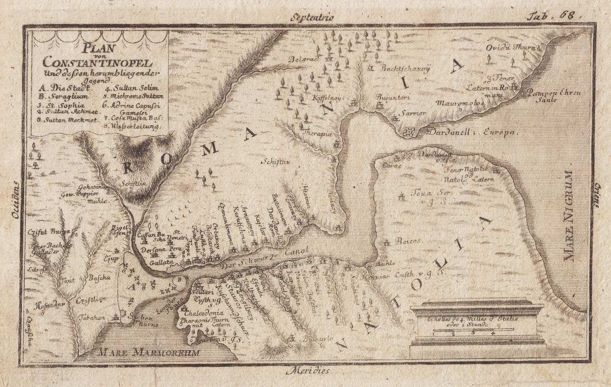


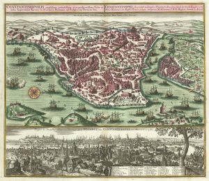
A plan of the Bosphorus
Plan von Constantinopel und dessen herumbliegender gegend.
German, c.1730. 120 x 190mm.
£140.00
Description
An unsual plan of Constantinople and the Bosphorus, with an eight-point key.
Condition:
Creases in margins.Related products
-

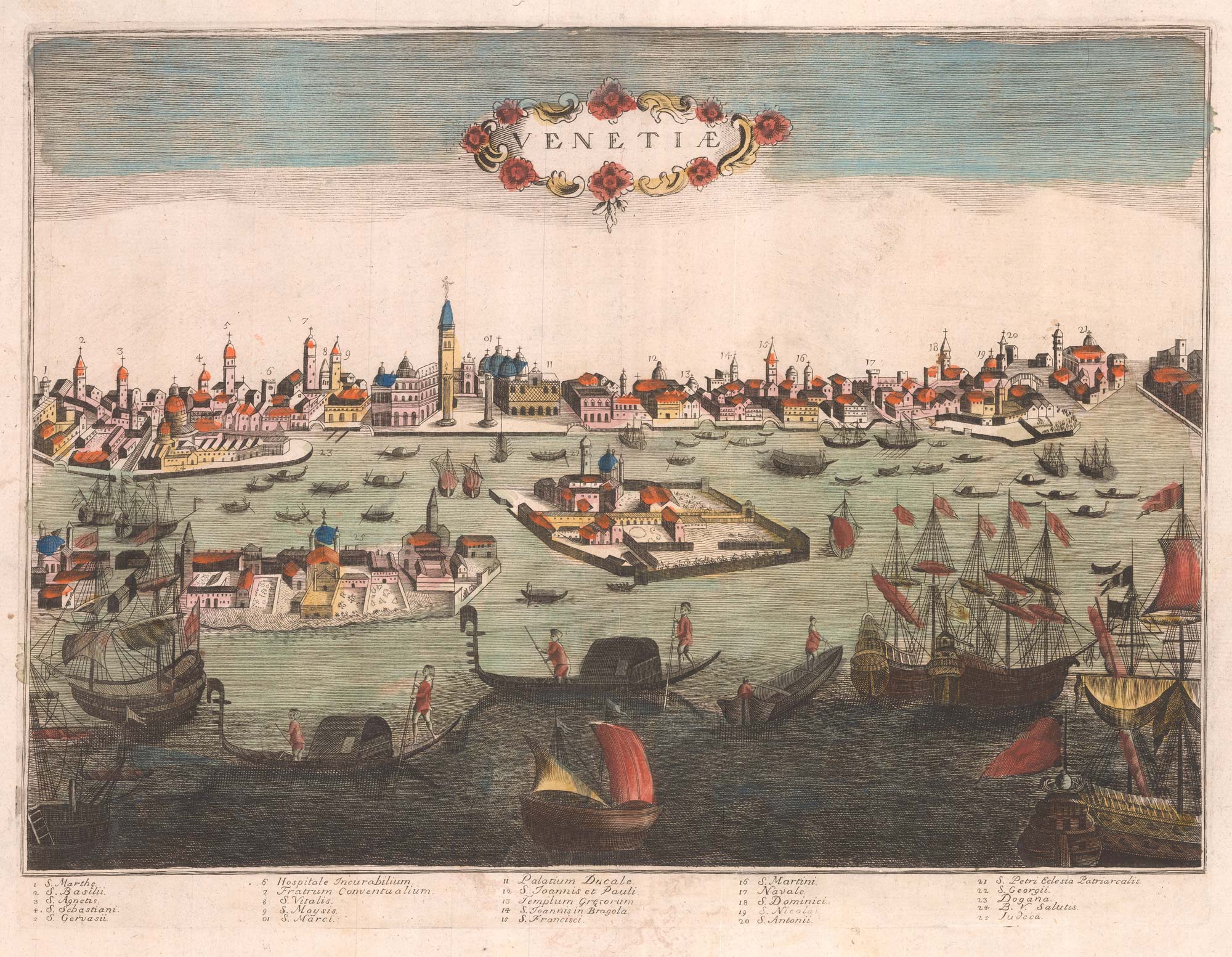
Mid-19th century plan of Constantinople
Society for the Diffusion of Useful Knowledge. Date: 1840Stock #: 21973 £220.00 -

Coronelli’s map of the Bosphorus from a Farnese Edition
CORONELLI, Vincenzo Maria. Date: 1697Stock #: 23857 £980.00 -
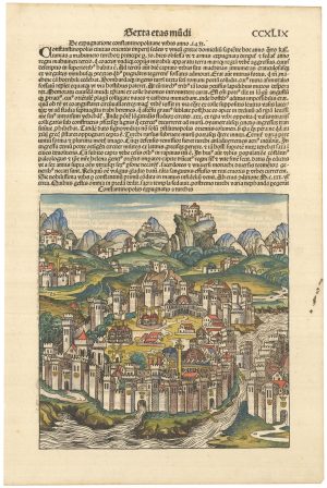
Incunable prospect of Constantinople
SCHEDEL, D. Hartmann. Date: 1493Stock #: 23231 £750.00 -

A 17th century prospect of Constantinople
MALLET, Alain Manesson. Date: 1683Stock #: 24709 £200.00 -

An early 19th century description of Constantinople
BERGK, Johann Adam. Date: 1807Stock #: 14457 £850.00 -

A folding chart of the environs of Constantinople
DUPUIS, Louis André. Date: 1785Stock #: 18384 £1,250.00 -
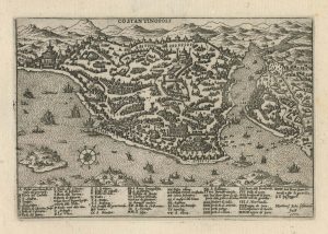
A 16th century town plan of Constantinople
ROTA, Martin. Date: 1598Stock #: 23182 £450.00 -

The Obelisk of Theodosius, Constantinople
KIRCHER, Athanasius. Date: 1654Stock #: 20565 £750.00 -
An 18th century town plan and prospect of Constantinople
SEUTTER, Matthaus. Date: 1735Stock #: 23453 £2,000.00
Items by the same author
[ti_wishlists_addtowishlist]
[ti_wishlists_addtowishlist]
[ti_wishlists_addtowishlist]
[ti_wishlists_addtowishlist]
[ti_wishlists_addtowishlist]
[ti_wishlists_addtowishlist]