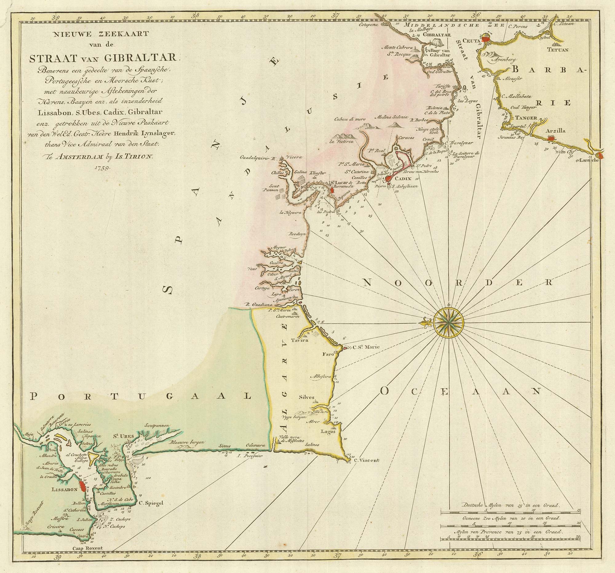


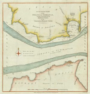
18th century Dutch sea chart of the Strait of Gibraltar.
Nieuwe Zeekaart van de Straat van Gibraltar ...
Amsterdam, 1759. Original colour. 400 x 430mm.
£200.00
1 in stock
x
Question About This Item?
18th century Dutch sea chart of the Strait of Gibraltar. & TIRION, Isaak.Stock #: 22010Similar to Sell?
Description
Map of the Strait of Gibraltar, marking Cadiz, Gibraltar, Faro, Algarve, Portugal, Lisbon.
Condition:
Repair in top left margin.Related products
-
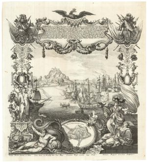
Dutch broadsheet of the Anglo-Spanish War, 1727-9
LETH, Andries de. Date: 1727Stock #: 22698 £900.00 -
Dutch sea chart of the harbour of Gibraltar
KEULEN, Johannes van. Date: 1630Stock #: 22708 £450.00 -
Gibraltar during the Seven Years’ War
GIBSON, John. Date: 1762Stock #: 21950 £160.00 -
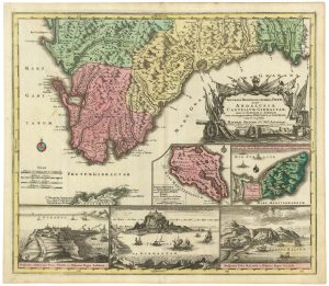
An early 18th century map of Gibraltar
SEUTTER, Matthaus. Date: 1730Stock #: 21889 £340.00 -

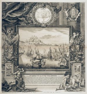
Early 18th century engraving showing the Relief of Gibraltar in 1705
DECKER, Paul. Date: 1720Stock #: 18680 £900.00 -
The Relief of Gibraltar by Admiral Leake
DECKER, Paul. Date: 1720Stock #: 12773 £600.00 -
A sea chart of the currents in the Straits of Gibraltar
LODGE, John. Date: 1782Stock #: 21237 £120.00 -
The British capture of Gibraltar in 1704
DECKER, Paul. Date: 1720Stock #: 23319 £800.00 -
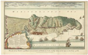
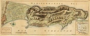
Plan of Gibraltar in 1738
BASIRE, James. Date: 1745Stock #: 22152 £280.00
Items by the same author
[ti_wishlists_addtowishlist]
[ti_wishlists_addtowishlist]
[ti_wishlists_addtowishlist]
[ti_wishlists_addtowishlist]
[ti_wishlists_addtowishlist]

[ti_wishlists_addtowishlist]