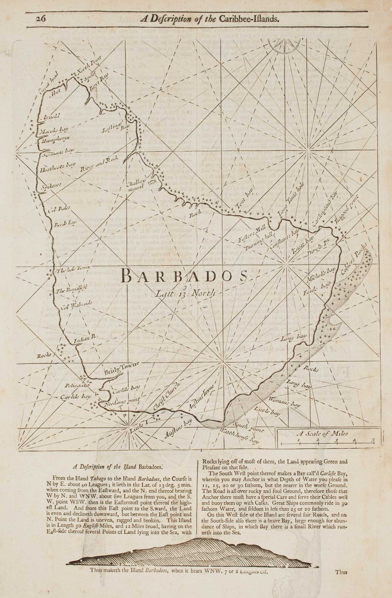


An 18th century chart of Barbados
Barbados.
London: W. & J. Mount and T. Page, 1748. 290 x 260mm, set in text.
£480.00
Description
A sea chart of the coasts of Barbados, with a letterpress description of the island a woodcut coastal profile underneath, from Mount & Page's 'The English Pilot. The Fourth Book Describing The West India Navigation...', the first sea atlas of America containing charts only from English sources.
It was original published by Thornton on the same plate as a chart of Bermuda, but for some reason the charts were separated, with the original title for Barbados also cut.
Condition:
A good example.Related products
Items by the same author
[ti_wishlists_addtowishlist]
An early English chart of the entrance to the Red Sea
THORNTON, John. Date: 1711 Stock #: 21753 £400.00
[ti_wishlists_addtowishlist]
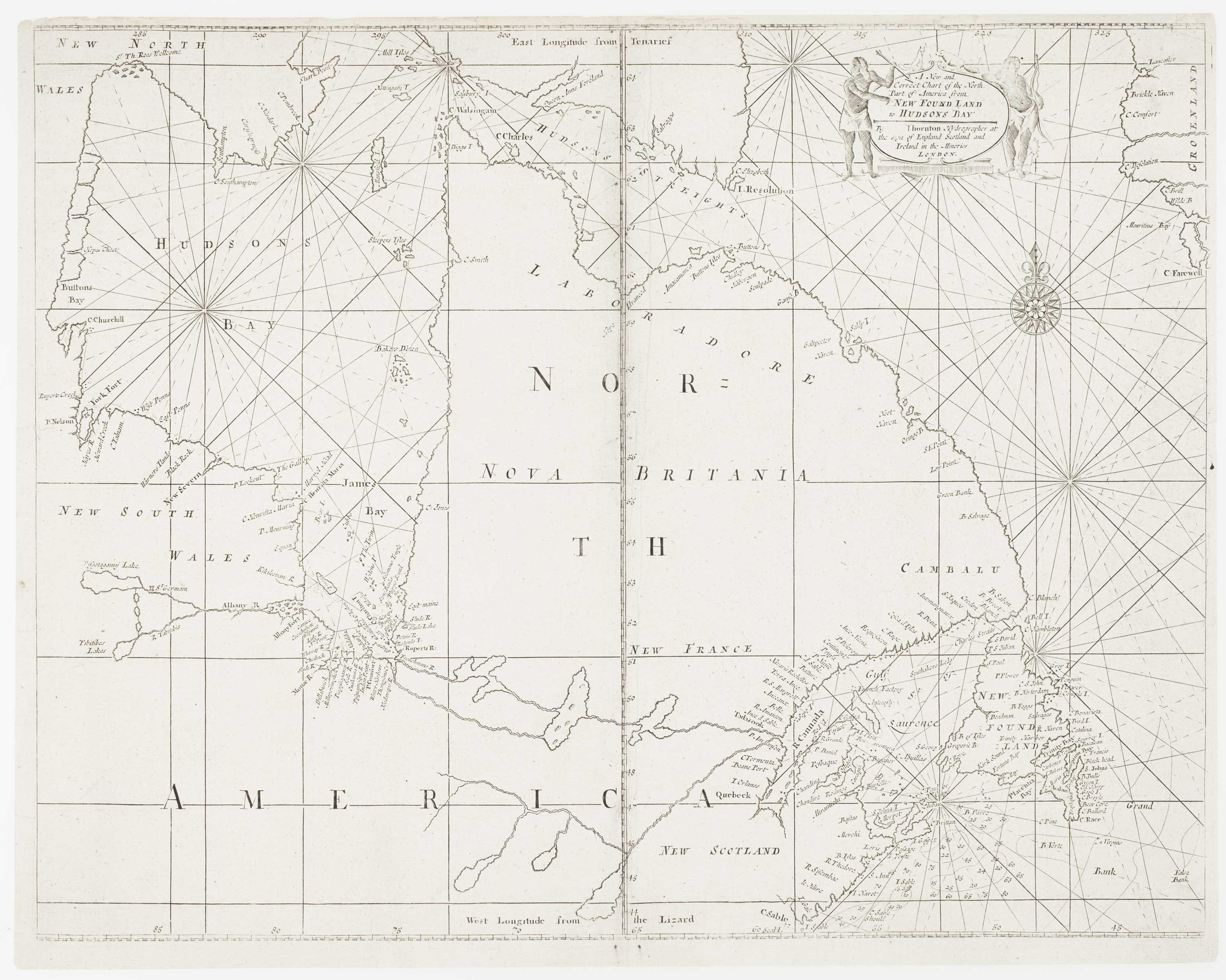
An early English chart of northern Canada with Hudson Bay
THORNTON, John. Date: 1748 Stock #: 15550 £300.00
[ti_wishlists_addtowishlist]