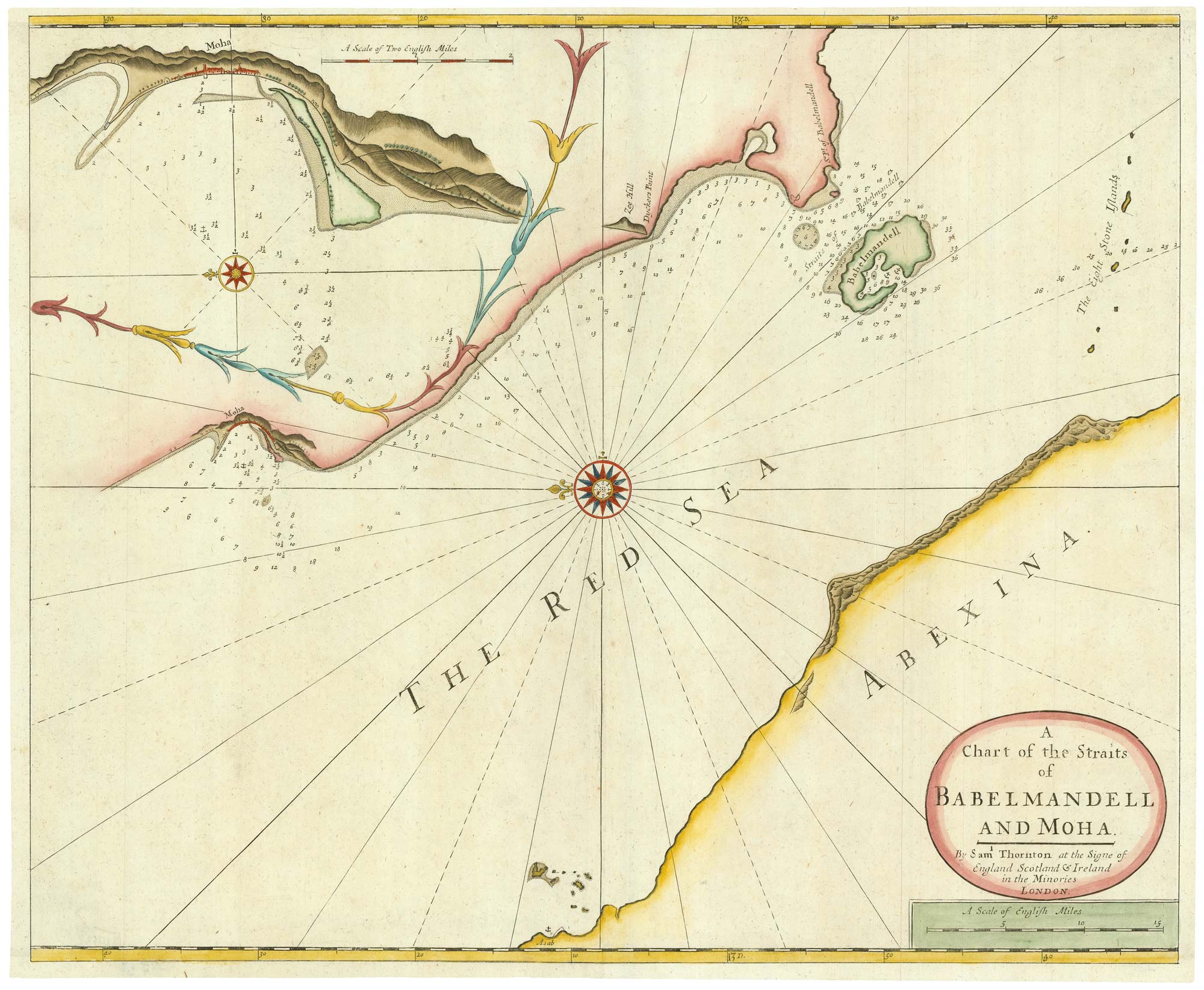


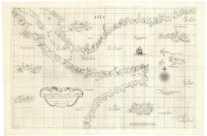
An early English chart of the entrance to the Red Sea
A Chart of the Straits of Babelmandell and Moha. By Sam.l Thornton at the signe of England Scotl.d and Ireland in the Minories London.
London: Samuel Thornton, c. 1711. Coloured. 440 x 545mm.
£400.00
1 in stock
x
Question About This Item?
An early English chart of the entrance to the Red Sea & THORNTON, John.Stock #: 21753Similar to Sell?
Description
A rare chart of Bab al-Mandab Strait, the mouth of the Red Sea, published in 'The English Pilot, the Third Book'.
Also shown is Mocha, at the time an important port because of the coffee trade, importing beans from Africa.
Condition:
Trimmed into plate, remargined with mss. fill.Related products
-
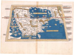
An incunable map of Arabia with lapis lazuli blue
PTOLEMY, Claudius. Date: 1482Stock #: 23380 Price on Application -
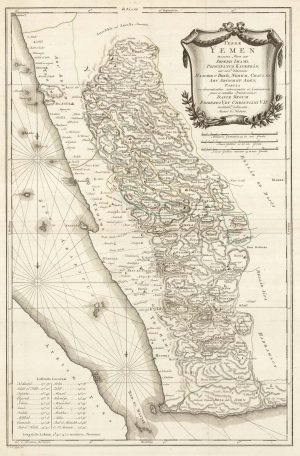
An important early map of Yemen
NIEBUHR, Carsten. Date: 1763Stock #: 23554 £500.00 -
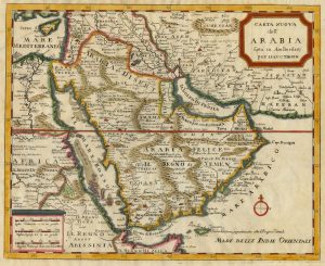
18th century map of Arabia with a fine border
AA, Pieter van der. Date: 1729Stock #: 17301 £480.00 -
18th century Italian map of Arabia
TIRION, Isaak. Date: 1740Stock #: 24978 £500.00 -
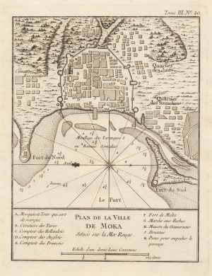
A scarce plan of the coffee-trading port of Mocha
BELLIN, Jacques-Nicolas. Date: 1764Stock #: 20757 £200.00 -
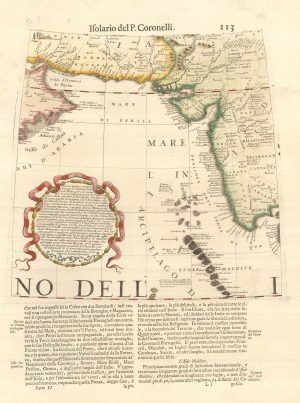
A 17th century globe gore of the Arabian Sea
CORONELLI, Vincenzo Maria. Date: 1696Stock #: 23240 £380.00 -
A 17th century sea chart of the Gulf of Aden in Dudley’s unique style
DUDLEY, Robert. Date: 1646Stock #: 23592 £3,250.00 -
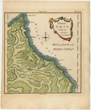
A detailed map of Oman
NIEBUHR, Carsten. Date: 1774Stock #: 23775 £900.00 -
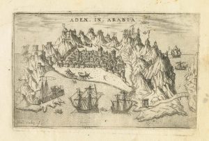
A 16th century Italian plan of Aden
VALEGIO, Francesco. Date: 1598Stock #: 24139 £240.00
Items by the same author
[ti_wishlists_addtowishlist]
[ti_wishlists_addtowishlist]
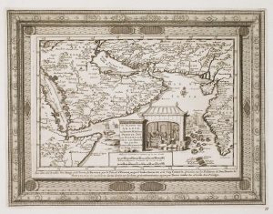
An early English chart of northern Canada with Hudson Bay
THORNTON, John. Date: 1748 Stock #: 15550 £300.00
[ti_wishlists_addtowishlist]