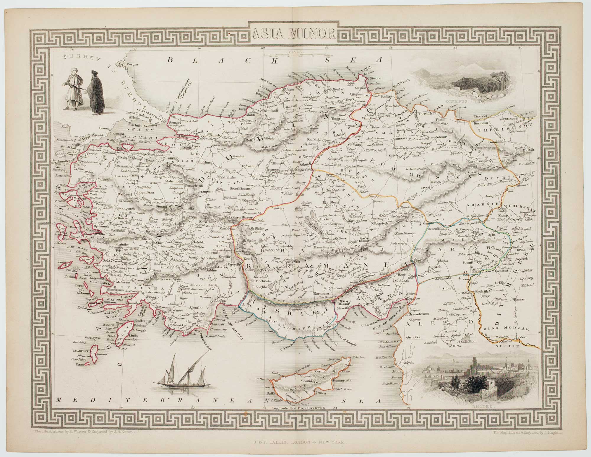
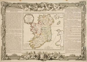
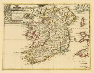
Mid 19th century map of Ireland with decorative vignettes
Ireland.
London, J. & F. Tallis, c.1851. Original outline colour with faint additions. Steel engraving, printed area 345 x 245mm.
£240.00
1 in stock
x
Question About This Item?
Mid 19th century map of Ireland with decorative vignettes & TALLIS, John.Stock #: 21568
Add to Wishlist
Export as PDFEnquireSimilar to Sell?Add to Wishlist
Description
Detailed map of Ireland, drawn and engraved by John Rapkin, with five decorative vignettes including a view of St Patrick's, Dublin.
The map was drawn and engraved by John Rapkin for the 'The Illustrated Atlas, and Modern History of the World, Geographical Political, Commercial & Statistical', edited by Montgomery Martin, which was one of the last decorative atlases to be published.
Condition:
A good example.Related products
-
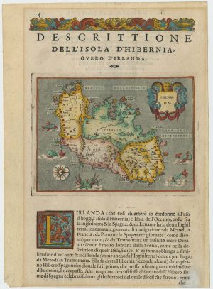
A 16th century map of Ireland with sea-monsters
PORCACCHI, Tomaso. Date: 1576Stock #: 24013 £300.00 -
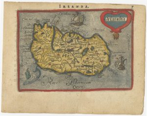
A 16th century miniature map of Ireland
ORTELIUS, Abraham. Date: 1593Stock #: 24458 £270.00 -
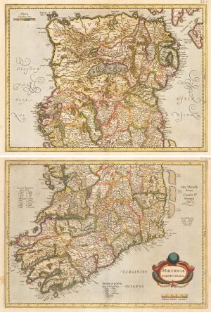
An uncommon state of Mercator’s pair of maps of Ireland
MERCATOR, Gerard. Date: 1638Stock #: 23864 £1,250.00 -
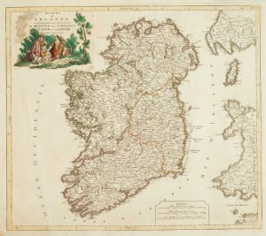
18th century decorative map of Ireland
BRION DE LA TOUR, Louis. Date: 1766Stock #: 7547 £260.00 -
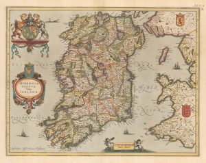
An early issue of Jansson’s map of Ireland
JANSSON, Jan. Date: 1638Stock #: 23865 £950.00 -
Uncommon Italian produced map of Ireland
SOCIETA CALCOGRAFICA. Date: 1803Stock #: 16615 £1,100.00 -
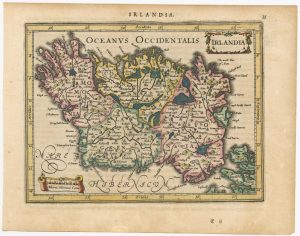
A 17th century map of Ireland from a pocket atlas
JANSSON, Jan. Date: 1631Stock #: 25065 £325.00 -
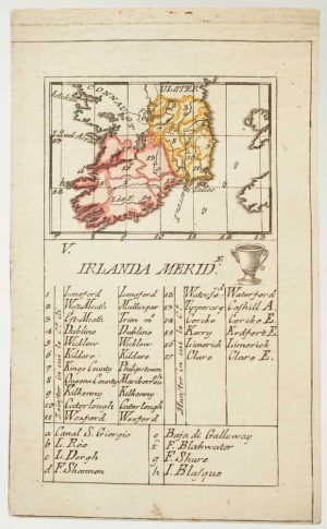
An 18th century playing-card map of southern Ireland
RABATTA, Augusto & BAILOU, Jean Baptist de. Date: 1779Stock #: 12959 £180.00 -
18th century map of Ireland
SANSON, Nicolas. Date: 1729Stock #: 20047 £220.00
Items by the same author
Add to Wishlist
Add to Wishlist

A mid-19th century map of Germany with decorative vignettes
TALLIS, John. Date: 1851 Stock #: 23486 £120.00
Add to Wishlist
Add to Wishlist

Map of France with vignette scenes
TALLIS, John. Date: 1851 Stock #: 17766 £100.00
Add to Wishlist
Add to Wishlist

London during the Great Exhibition of 1851
TALLIS, John. Date: 1851 Stock #: 25662 £2,400.00
Add to Wishlist
Add to Wishlist

Mid 19th century map of Greece with decorative vignettes
TALLIS, John. Date: 1851 Stock #: 23523 £140.00
Add to Wishlist
Add to Wishlist

Map of the Jersey & Guernsey
TALLIS, John. Date: 1851 Stock #: 25205 £125.00
Add to Wishlist
Add to Wishlist