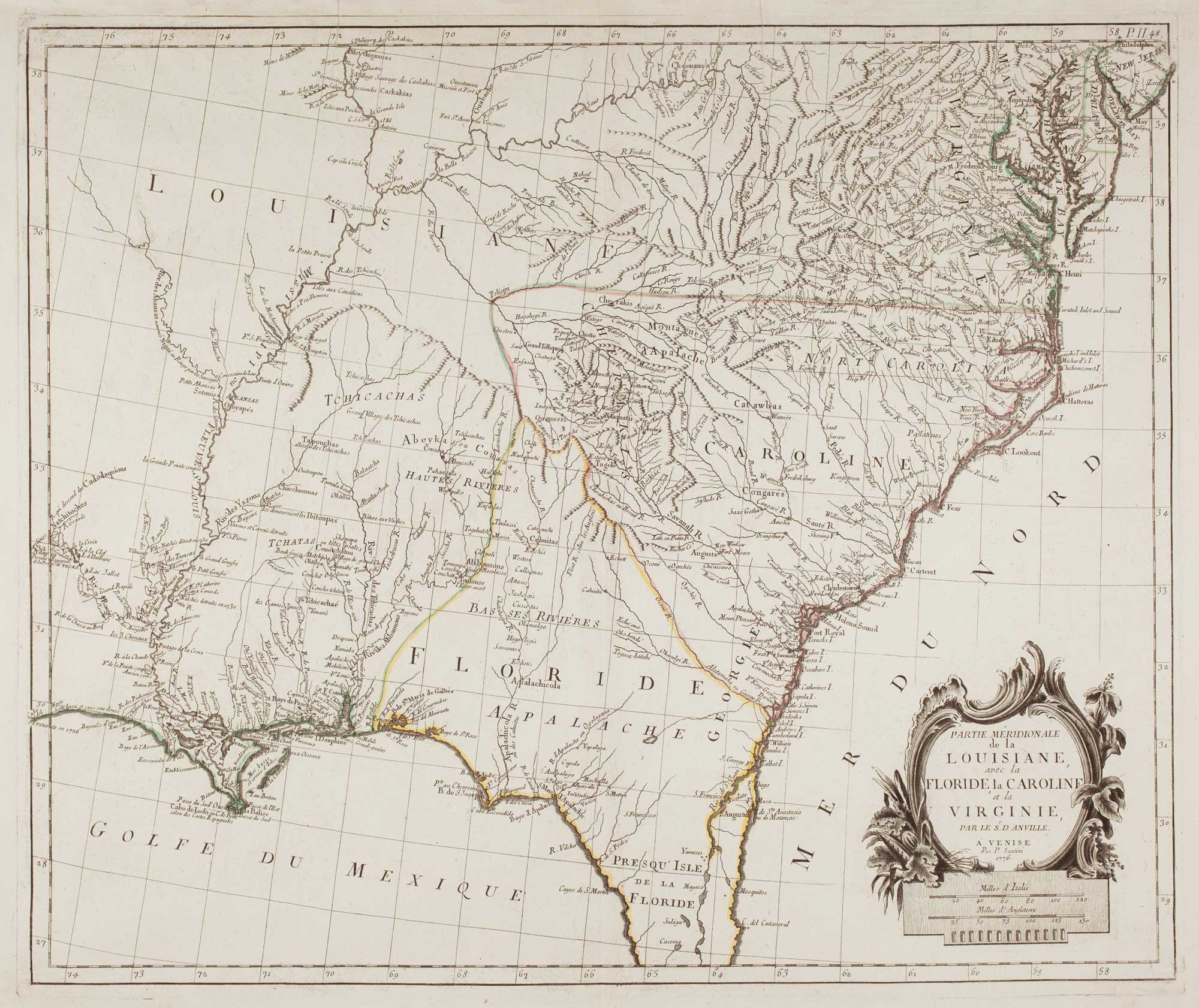


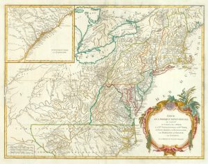
18th century map of the American South East
Partie Méridionale de la Louisiane, avec la Floride, La Caroline et la Virginie.
Venice, 1776. Original outline colour. 490 x 580mm.
£500.00
1 in stock
x
Question About This Item?
18th century map of the American South East & SANTINI, Francesco & Paolo.Stock #: 9346
Add to Wishlist
Export as PDFEnquireSimilar to Sell?Add to Wishlist
Description
Shows from Delaware Bay south to New Orleans, with the title in a rococo cartouche bottom right. Derived from the French map published by D'Anville.
Condition:
A good example.Related products
-
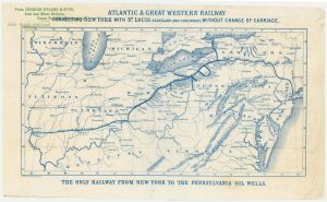
An advert for an American railway
Anonymous. Date: 1865Stock #: 24455 £750.00 -
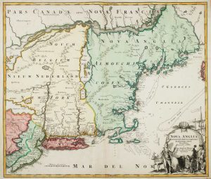
The English colonies on the north-east seaboard of America
HOMANN, Johann Baptist. Date: 1725Stock #: 11207 £1,450.00 -

The earliest depiction of post roads in America
MOLL, Herman. Date: 1732Stock #: 25480 £1,100.00 -
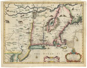
The Speed map of New England
SPEED, John. Date: 1676Stock #: 23794 £6,500.00 -
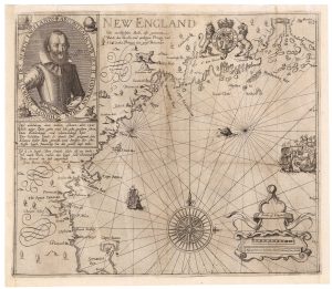
A rare German edition of John Smith’s map of New England
SMITH, John. Date: 1617Stock #: 21888 £8,000.00 -
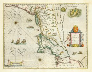
Classic C17th map of New England and New Netherlands
BLAEU, Willem Janszoon. Date: 1662Stock #: 22719 £4,250.00 -
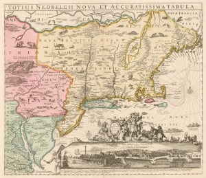
The Eastern Seaboard with the ‘Restitutio’ view of New York
ALLARD, Hugo. Date: 1725Stock #: 18268 £8,000.00 -
An uncommon Spanish sea chart of the Eastern Seaboard
NOGUERA, C. Date: 1860Stock #: 11858 £1,700.00 -
18th century map of the Eastern Seaboard
ROBERT DE VAUGONDY, Didier. Date: 1770Stock #: 24555 £750.00
Items by the same author
Add to Wishlist
Add to Wishlist
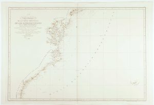
The Eastern Seaboard of North America
SANTINI, Francesco & Paolo. Date: 1776 Stock #: 22824 £600.00
Add to Wishlist
Add to Wishlist
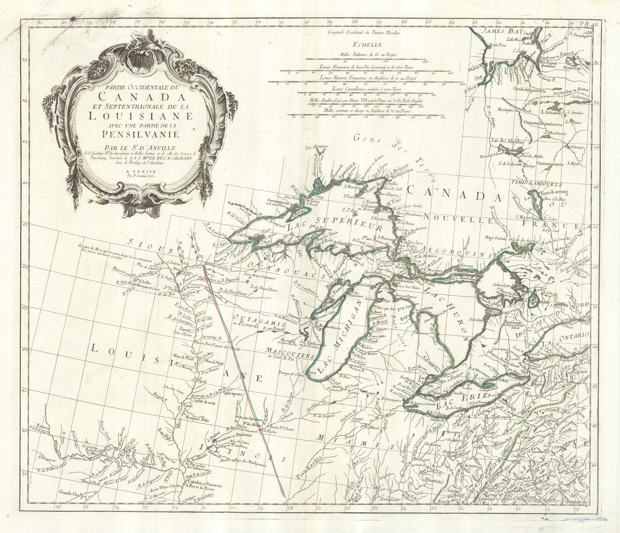
An 18th century map of the Great Lakes
SANTINI, Francesco & Paolo. Date: 1776 Stock #: 22627 £600.00
Add to Wishlist
Add to Wishlist
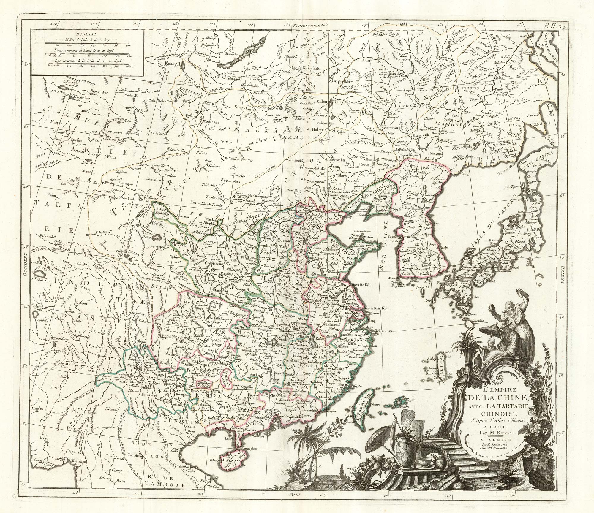
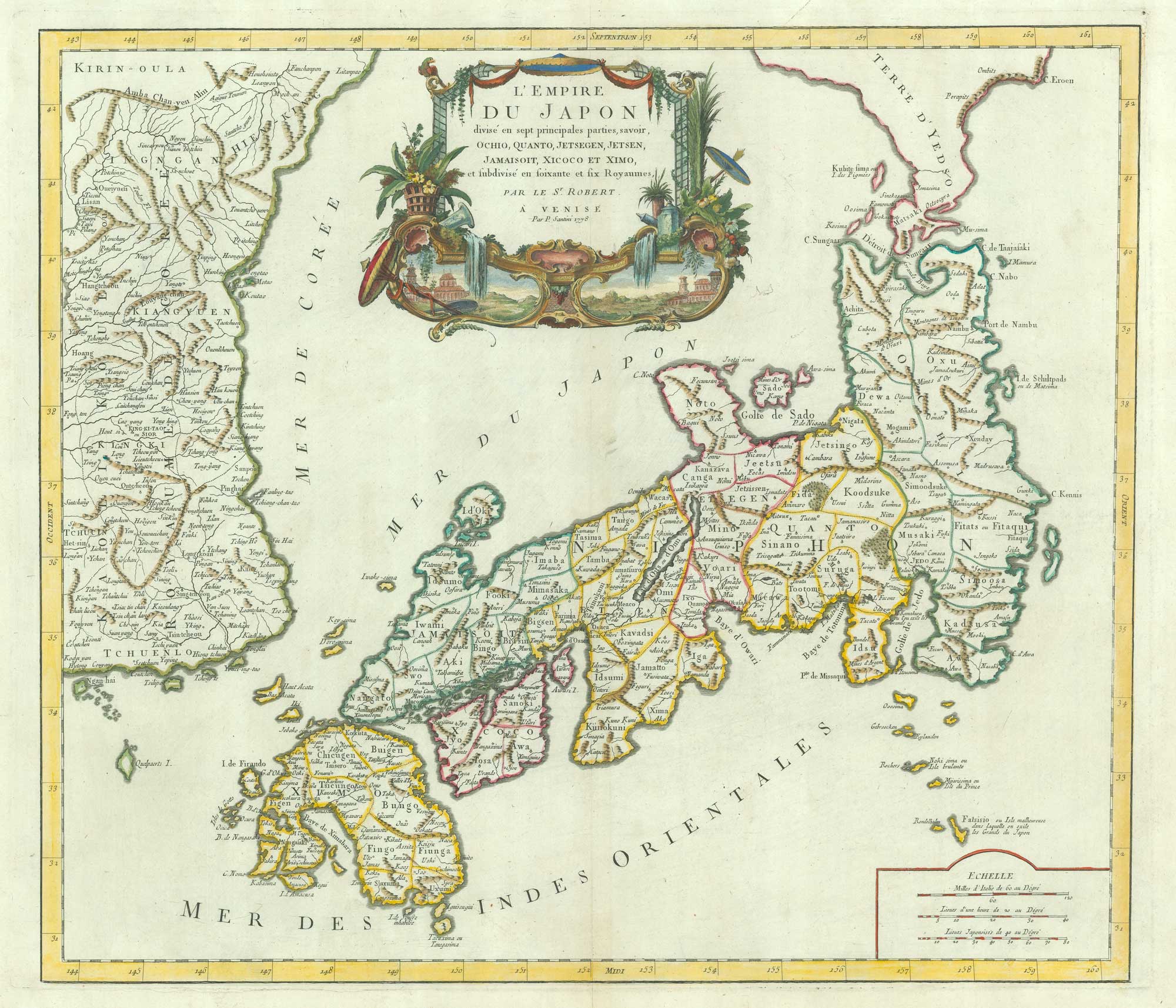
China & Tartary after Bonne
SANTINI, Francesco & Paolo. Date: 1784 Stock #: 22630 £600.00
Add to Wishlist
Add to Wishlist