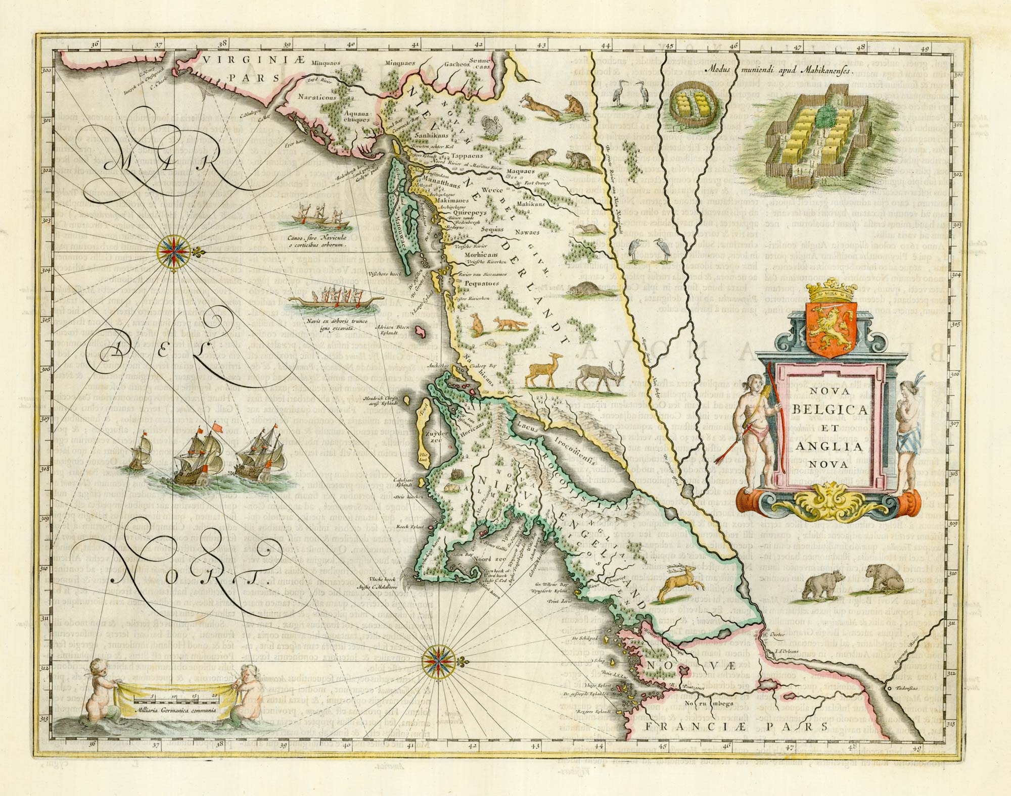


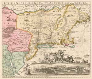
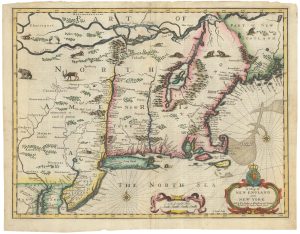
Classic C17th map of New England and New Netherlands
Nova Belgica et Anglia Nova.
Amsterdam, 1662, Latin text edition. Original colour. 390 x 505mm.
£4,250.00
1 in stock
x
Question About This Item?
Classic C17th map of New England and New Netherlands & BLAEU, Willem Janszoon.Stock #: 22719Similar to Sell?
Description
Despite being first published in 1635, this is the first printed version of the important mss. map by Adriaen Blockx. A Dutch fur trader and explorer, Blockx arrived in America and set out on a coastal voyage in 1614. His ship, the Onrust, was the first European vessel to be built on Manhattan Island. He sailed down the East River and Long Island Sound, mapping the coastal features between Cape Cod and Manhattan, marking Manhattan as an island for the first time. He also noted the locations of the local tribes, including the Manhattans and Mohicans. For the scant interior detail Block used Champlain's map of 1612, but misplacing Lake Champlain (here 'Lacus Irocoisiensis') in New England.
Blaeu has added a few more details, mostly from De Laet's map of 1630: Cape Cod, an island in the original mss., has been reconnected to the mainland; the new Dutch colonies around New Amsterdam (New York) are named; and many of the English colonies ('Niew Plemouth') are copied from Smith's map of New England, 1616.
Among the decorations are beavers, otters and polecats, appearing on a printed map for the first time, mixing with egrets, rabbits, bears and a turkey. Depictions of Indian villages are copied from De Bry; the two images of Indian canoes, one hollowed out with fire, are also the first to appear on a printed map.
Condition:
A good example.References:
GOSS: Mapping of North America, Map 28; BURDEN: 241.Related products
-
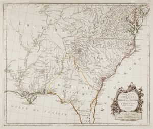
18th century map of the American South East
SANTINI, Francesco & Paolo. Date: 1776Stock #: 9346 £500.00 -
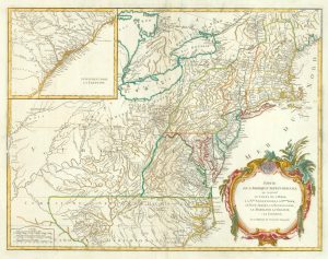
18th century map of the Eastern Seaboard
ROBERT DE VAUGONDY, Didier. Date: 1770Stock #: 24555 £750.00 -
The English colonies on the north-east seaboard of America
HOMANN, Johann Baptist. Date: 1725Stock #: 11207 £1,450.00 -
The Eastern Seaboard with the ‘Restitutio’ view of New York
ALLARD, Hugo. Date: 1725Stock #: 18268 £8,000.00 -
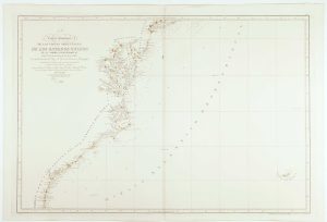
An uncommon Spanish sea chart of the Eastern Seaboard
NOGUERA, C. Date: 1860Stock #: 11858 £1,700.00 -
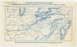
An advert for an American railway
Anonymous. Date: 1865Stock #: 24455 £750.00 -
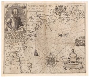
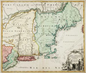
A rare German edition of John Smith’s map of New England
SMITH, John. Date: 1617Stock #: 21888 £8,000.00 -

The earliest depiction of post roads in America
MOLL, Herman. Date: 1732Stock #: 25480 £1,100.00 -
The Speed map of New England
SPEED, John. Date: 1676Stock #: 23794 £6,500.00
Items by the same author

[ti_wishlists_addtowishlist]
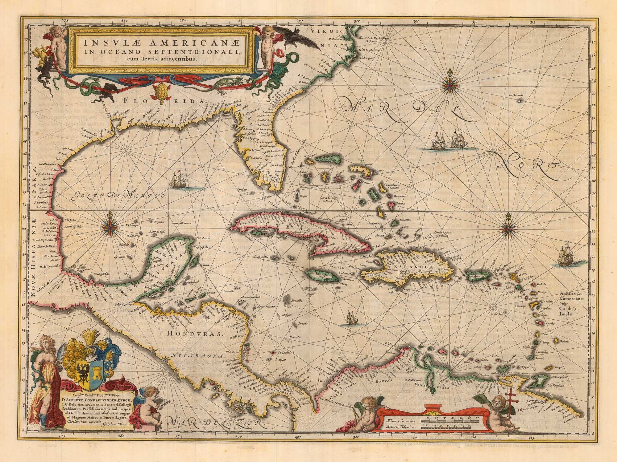
Classic 17th century map of the West Indies
BLAEU, Willem Janszoon. Date: 1662 Stock #: 22717 £1,800.00
[ti_wishlists_addtowishlist]
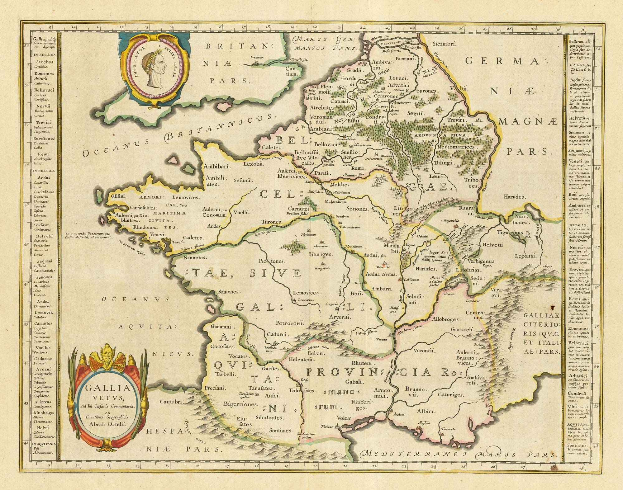
17th century Dutch map of Gaul after Ortelius
BLAEU, Willem Janszoon. Date: 1645 Stock #: 25335 £250.00
[ti_wishlists_addtowishlist]
[ti_wishlists_addtowishlist]

A 17th century map of the environs of Nuremberg
BLAEU, Willem Janszoon. Date: 1667 Stock #: 22585 £300.00
[ti_wishlists_addtowishlist]
