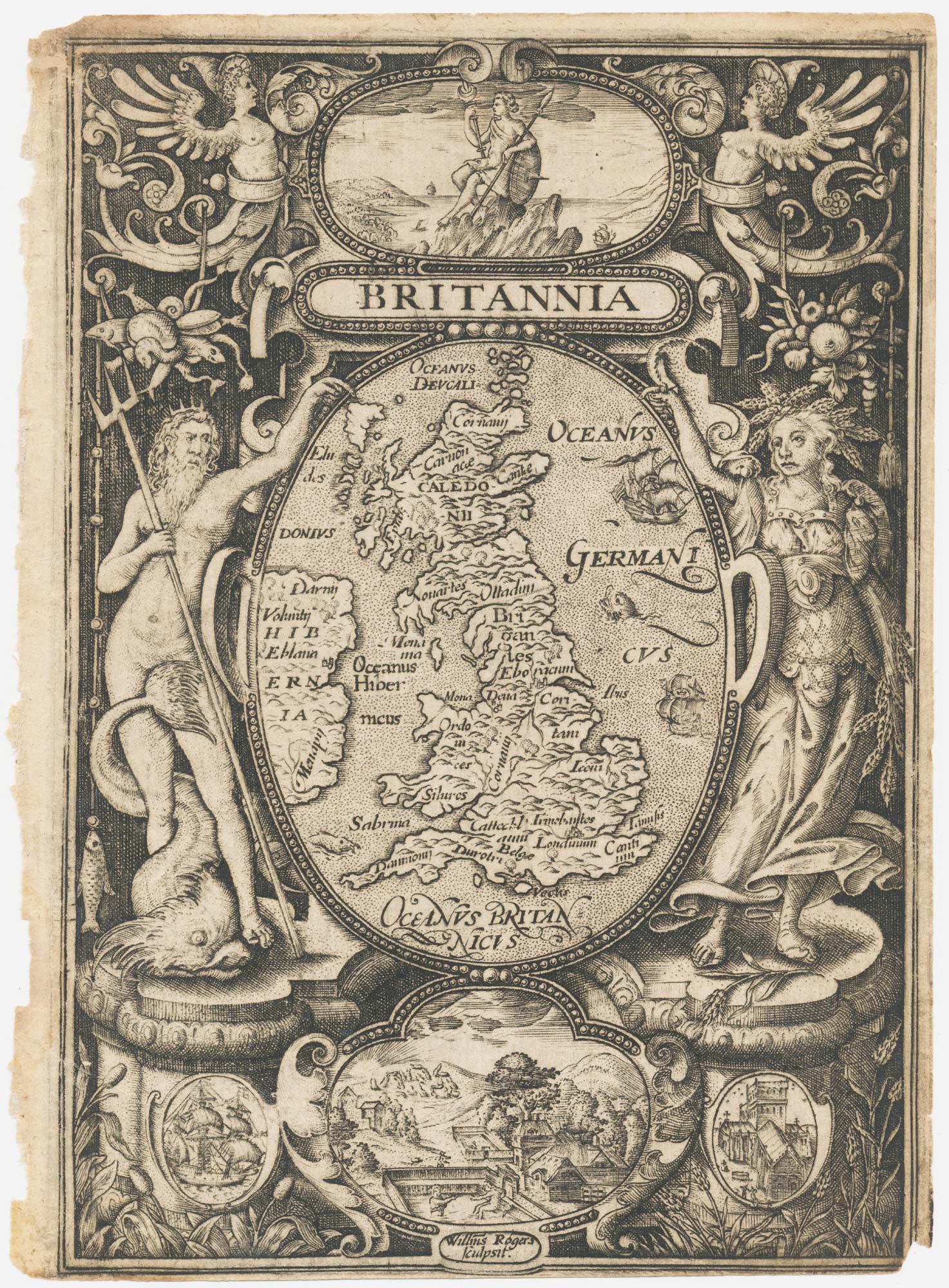


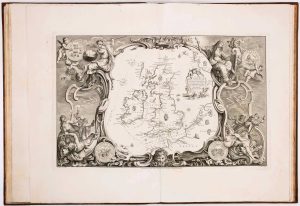
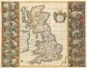
The frontispiece from an Elizabethan edition of Camden’s ‘Britannia’
Britannia.
London: George Bishop, 1600. Sheet 180 x 135mm.
£450.00
1 in stock
x
Question About This Item?
The frontispiece from an Elizabethan edition of Camden’s ‘Britannia’ & ROGERS, William.Stock #: 21909Similar to Sell?
Description
A map of England, Wales, Scotland eastern Ireland, in an oval supported by Neptune and Ceres, with vignettes of Britannia sitting on a rock, a ship, St Paul's Cathedral, and Stonehenge and the Roman Baths. On the map London and York are marked, but most of the other names are tribes.
This frontispiece was one of three maps engraved by William Rogers (c.1545-c.1604) for the 1600 edition of William Camden's 'Britannia', the fifth edition of the work, yet the first to contain maps. It was not until 1607 that a full suite of county maps was included, alongside a larger version of this map, engraved by William Hole.
A very fine impression.
Condition:
Trimmed close by binder, small notch in bottom right corner.References:
SHIRLEY: 230.Related products
-
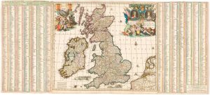
A Dutch map of the British Isles, celebrating the Glorious Revolution
ALLARD, Carel. Date: 1690Stock #: 22276 £2,000.00 -
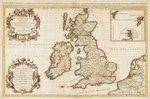
17th century map of the British Isles on two sheets
JAILLOT, Alexis-Hubert. Date: 1696Stock #: 14463 £1,200.00 -
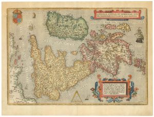
16th century Dutch map of the British Isles
ORTELIUS, Abraham. Date: 1585Stock #: 22753 £1,600.00 -
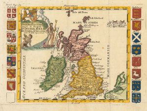
An 18th century Italian map of the British Isles with roll of arms
LA FEUILLE, Daniel de. Date: 1770Stock #: 23694 £300.00 -
Mid-18th century wall map of the British Isles
DESNOS, Louis Charles. Date: 1766Stock #: 16860 £2,500.00 -
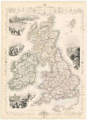
19th century decorative map of the British Isles
TALLIS, John. Date: 1851Stock #: 23507 £260.00 -
The story of the Spanish Armada from the House of Lords tapestries
PINE, John. Date: 1739Stock #: 14002 £16,000.00 -
The famous map depicting Anglo-Saxon Britain
BLAEU, Johannes. Date: 1646Stock #: 23593 £2,500.00 -
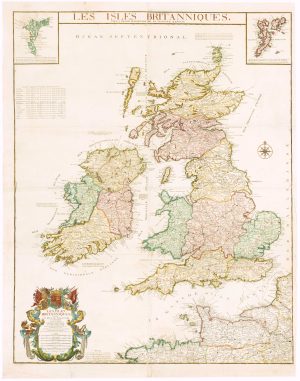
First edition of Du Val’s folio map of the British Isles
DU VAL, Pierre. Date: 1665Stock #: 19059 £800.00