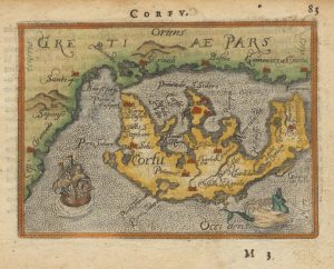
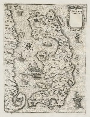
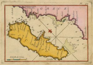
Miniature map of Corfu
Corfu.
Antwerp, c.1601, Latin text edition. Coloured 90 x 130mm.
£150.00
Description
A miniature map of Corfu from the Epitome pocket atlas, printed from the plate engraved by the Arsenius brothers, first issued 1601, with longitude and latitude numbers in the borders.
Condition:
Some text show-through.Related products
-
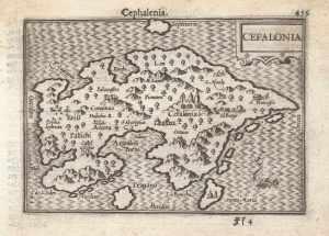
A 16th century miniature map of Cephalonia
LANGENES, Barent. Date: 1599Stock #: 21335 £200.00 -
A 16th century miniature map of Corfu
ORTELIUS, Abraham. Date: 1593Stock #: 21002 £150.00 -
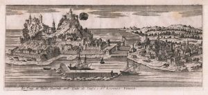
An 18th century prospect of Corfu city
SALMON, Thomas. Date: 1759Stock #: 23408 £150.00 -
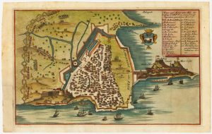
Rare town-plan of Corfu under siege by the Ottomans
WIERING, Thomas von. Date: 1716Stock #: 23665 £340.00 -
An early map of Corfu
BERTELLI, Donato. Date: 1713Stock #: 21940 £350.00 -
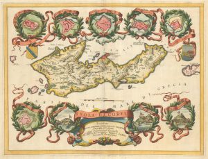
A large and decorative map of Corfu
CORONELLI, Vincenzo Maria. Date: 1690Stock #: 24095 £750.00 -
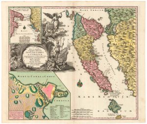
18th century map of Corfu in full original colour
SEUTTER, Matthaus. Date: 1730Stock #: 20403 £1,350.00 -
An 18th century chart of Corfu
ROUX, Joseph. Date: 1804Stock #: 23636 £110.00 -
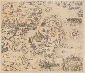
A very rare map of Corfu during the Ottoman-Venetian War of 1570
ZÜNDT, Matthias. Date: 1570Stock #: 20425 £12,500.00
Items by the same author
[ti_wishlists_addtowishlist]

The rarest Ortelius atlas map of England and Wales
ORTELIUS, Abraham. Date: 1603 Stock #: 25643 £2,000.00
[ti_wishlists_addtowishlist]

[ti_wishlists_addtowishlist]

A 16th century miniature map of the Turkish Empire
ORTELIUS, Abraham. Date: 1593 Stock #: 24464 £280.00
[ti_wishlists_addtowishlist]
[ti_wishlists_addtowishlist]