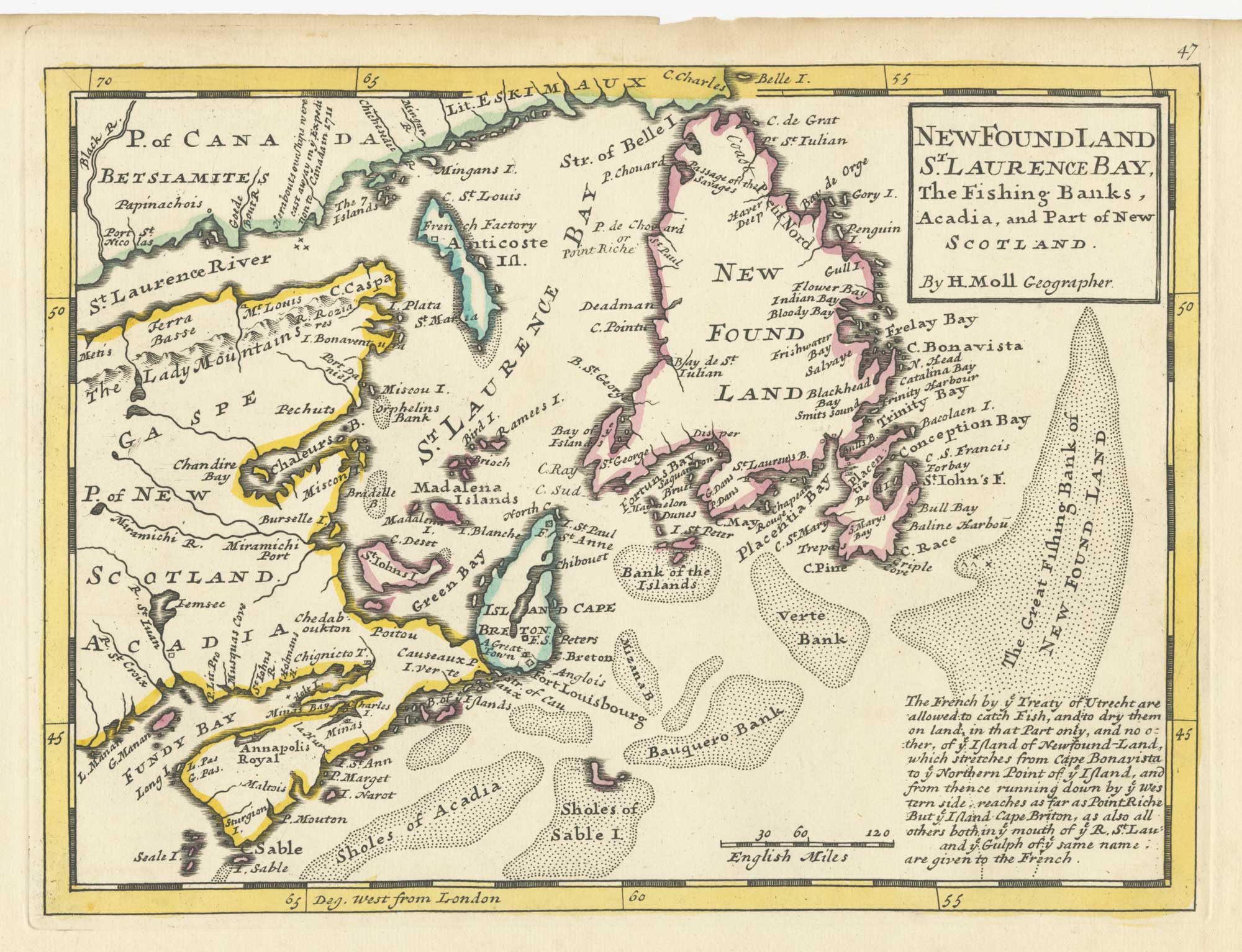


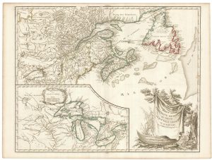
A map of Newfoundland according to the Treaty of Utrecht
Newfoundland S.t Laurence Bay, The Fishing Banks, Acadia, and Part of New Scotland.
London: Thomas Bowles and John Bowles, 1732. Fine original outline colour. 215 x 280mm.
£400.00
1 in stock
x
Question About This Item?
A map of Newfoundland according to the Treaty of Utrecht & MOLL, Herman.Stock #: 25654
Add to Wishlist
Export as PDFEnquireSimilar to Sell?Add to Wishlist
Description
A map of Newfoundland, Nova Scotia, New Brunswick and the Gulf of the St Lawrence, marking the Grand Banks, with a text box explaining the rights of French fishermen as laid down in the Treaty of Utrecht of 1713, which gave control of Newfoundland and Nova Scotia to Britain.
Moll first published his 'Atlas Minor' in 1729 but, shortly after his death in 1732, Thomas Bowles and his son John reissued it with plate numbers added, as this example
Condition:
A good example.Related products
-
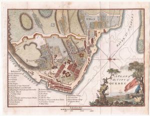
A detailed plan of Quebec
ANDREWS, John. Date: 1798Stock #: 22463 £160.00 -
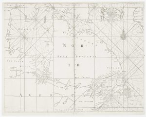
An early English chart of northern Canada with Hudson Bay
THORNTON, John. Date: 1748Stock #: 15550 £300.00 -
A plan of the British attack on Quebec in October 1690 by a defender
LAHONTAN, Louis-Armande de. Date: 1741Stock #: 22562 £550.00 -
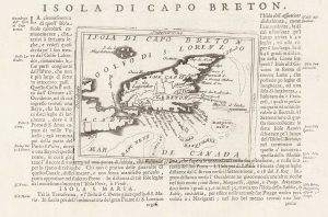
A 17th century map of Cape Breton Island
CORONELLI, Vincenzo Maria. Date: 1696Stock #: 21640 £160.00 -
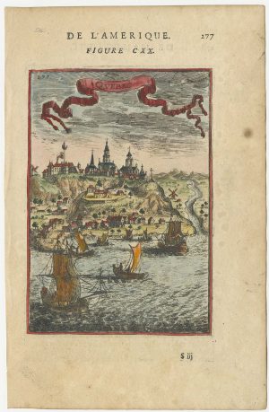
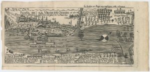
A 17th century prospect of Quebec
MALLET, Alain Manesson. Date: 1683Stock #: 24710 £220.00 -
An early English chart of the east coast of Newfoundland on two sheets
SOUTHWOOD, Henry. Date: 1748Stock #: 15528 £900.00 -
A rare playing card of Canada with a view of Quebec
Anonymous. Date: 1680Stock #: 25025 £450.00 -

A French edition of an important map of the St Lawrence valley
CARVER, Jonathan. Date: 1777Stock #: 23477 £1,600.00 -
A late 18th century map of Canada and the Great Lakes
ROBERT DE VAUGONDY, Didier. Date: 1793Stock #: 23279 £550.00
Items by the same author
Add to Wishlist
Add to Wishlist
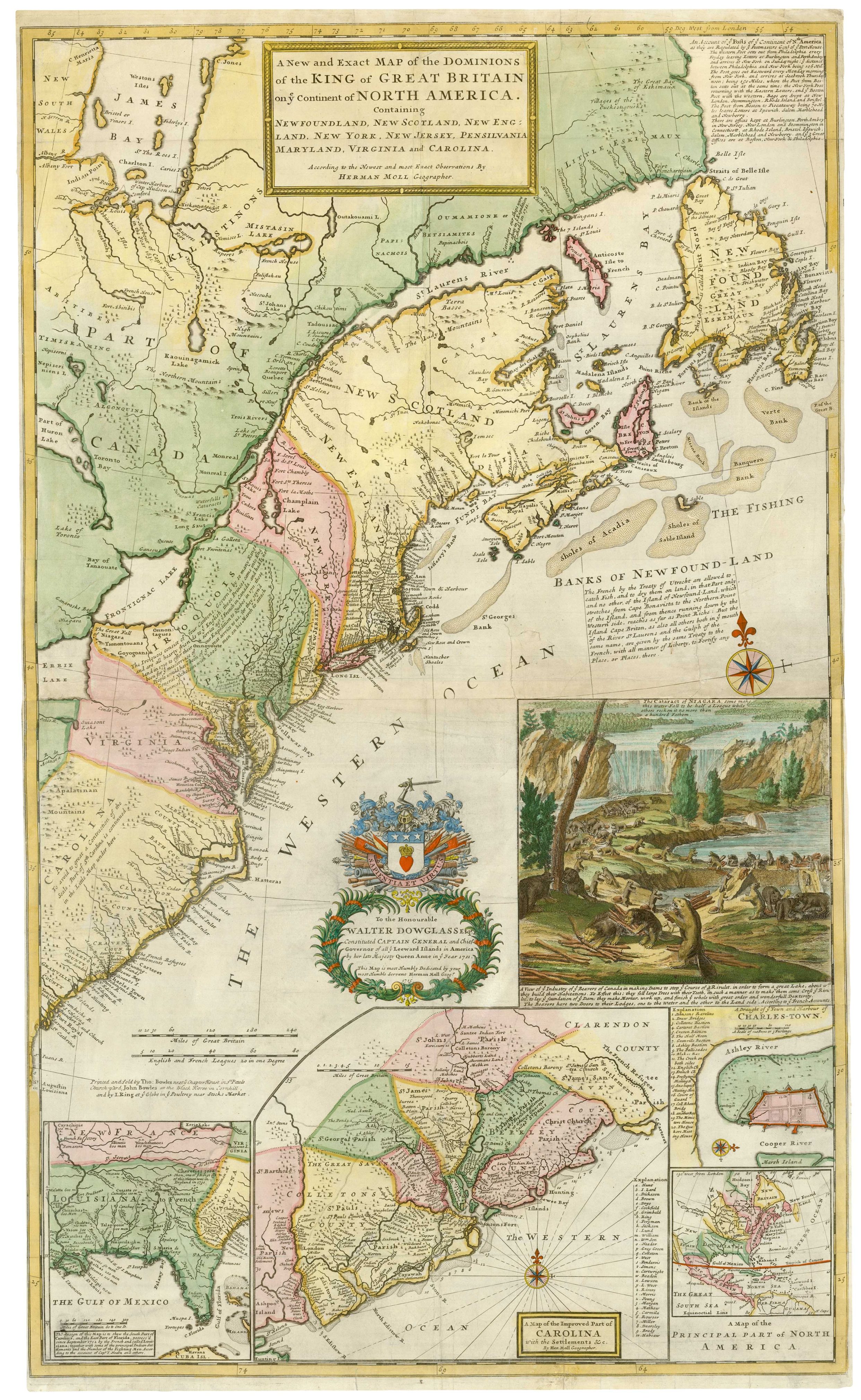
The famous 'Beaver Map' of the British Colonies in America
MOLL, Herman. Date: 1731 Stock #: 25405 £8,500.00
Add to Wishlist
Add to Wishlist
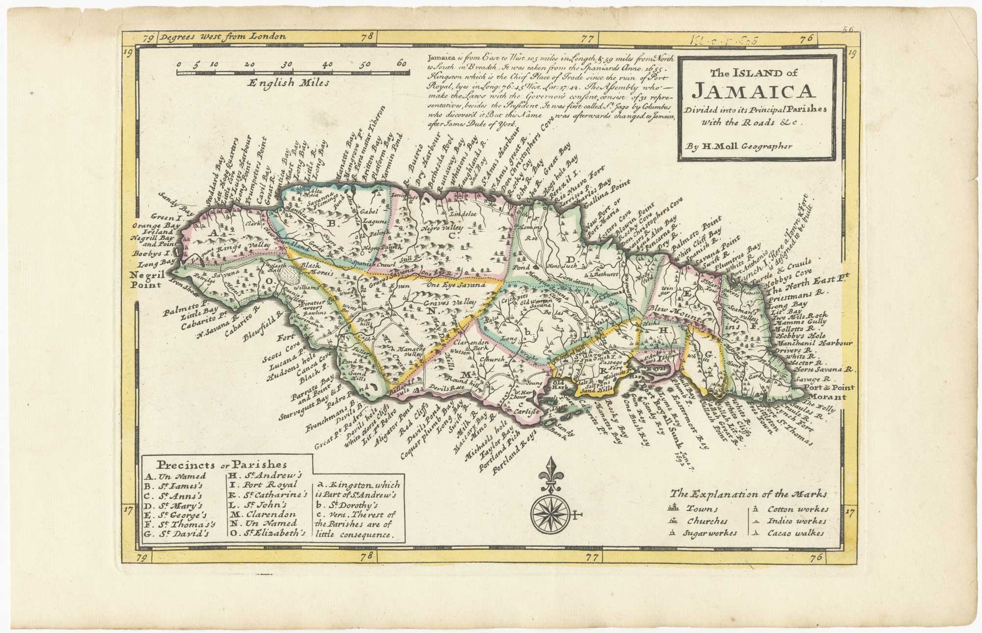
18th century English map of Jamaica
MOLL, Herman. Date: 1732 Stock #: 25666 £250.00
Add to Wishlist
Add to Wishlist

18th century English map of Tartary
MOLL, Herman. Date: 1732 Stock #: 25671 £200.00
Add to Wishlist
Add to Wishlist
