


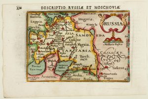
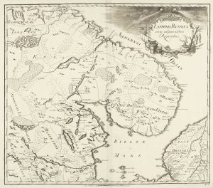
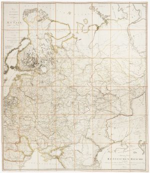
A mid-17th century map of Russia
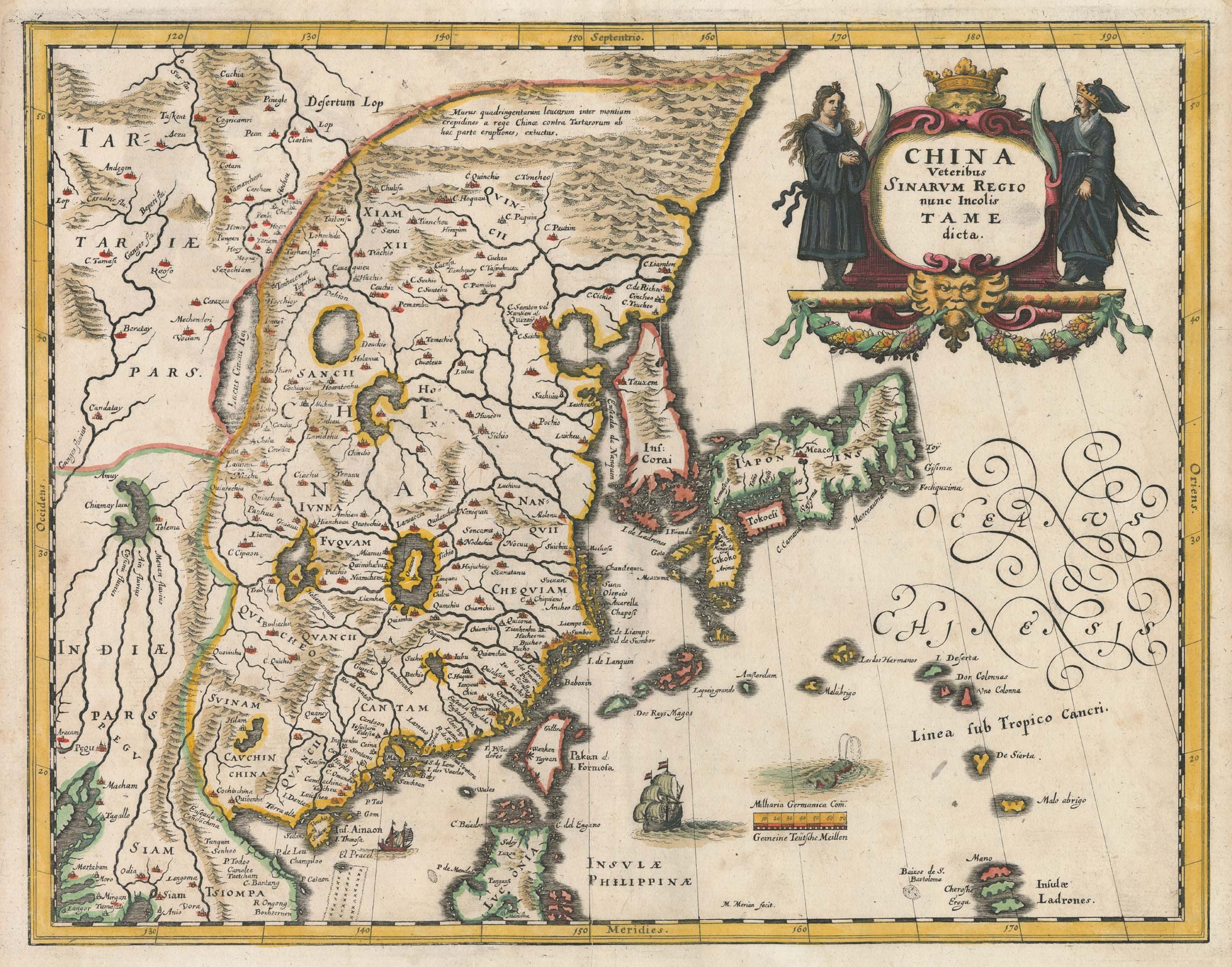
Tabula Russiae..
Frankfurt, c.1650. Coloured. 280 x 355mm.
£380.00
Description
A map of Russia, with Lithuania and Scandinavia, based on the map by Hessell Gerritsz (1581-1632), later purchased by Blaeu for use in his atlases. Featuring a large title cartouche, three Russian gentlemen, and an inset view of Archangel Sckagoroda.
Condition:
Two small pin holes in image.Related products
-
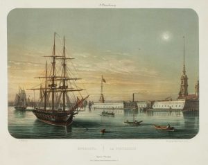
View of St Petersburg by night
LEBRETON, Louis. Date: 1855Stock #: 17096 £450.00 -
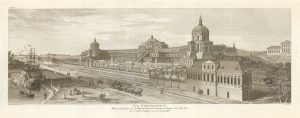
Complete set of ten views of St Petersburg by Lespinasse
LESPINASSE, Louis Nicolas de. Date: 1794Stock #: 19702 £5,750.00 -
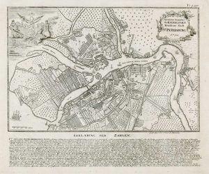
18th century town plan of St Petersburg
HAAS, Johann Matthias. Date: 1750Stock #: 17686 £600.00 -
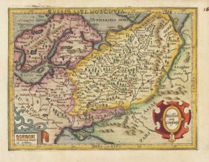
An early 17th century miniature map of Russia
BERTIUS, Petrus. Date: 1603Stock #: 11401 £200.00 -
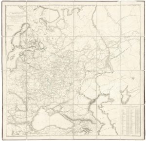
A Russian wall map of Russia
DEPOT IMPERIAL DES CARTES. Date: 1809Stock #: 20668 £1,800.00 -
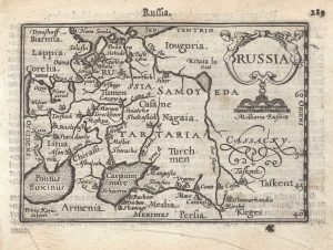
A 16th century miniature map of Russia
LANGENES, Barent. Date: 1599Stock #: 21320 £320.00 -
17th century miniature map of Russia
HONDIUS, Jodocus. Date: 1610Stock #: 18357 £220.00 -
An 18th century Russian map of Russian Lapland
AKADEMIYA NAUK. Date: 1737Stock #: 14524 £500.00 -
Detailed folding map of the ‘Patriotic War of 1812’
SUKHTELEN & OPPERMAN. Date: 1808Stock #: 22673 £960.00
Items by the same author
[ti_wishlists_addtowishlist]
[ti_wishlists_addtowishlist]
[ti_wishlists_addtowishlist]

[ti_wishlists_addtowishlist]
[ti_wishlists_addtowishlist]
[ti_wishlists_addtowishlist]
