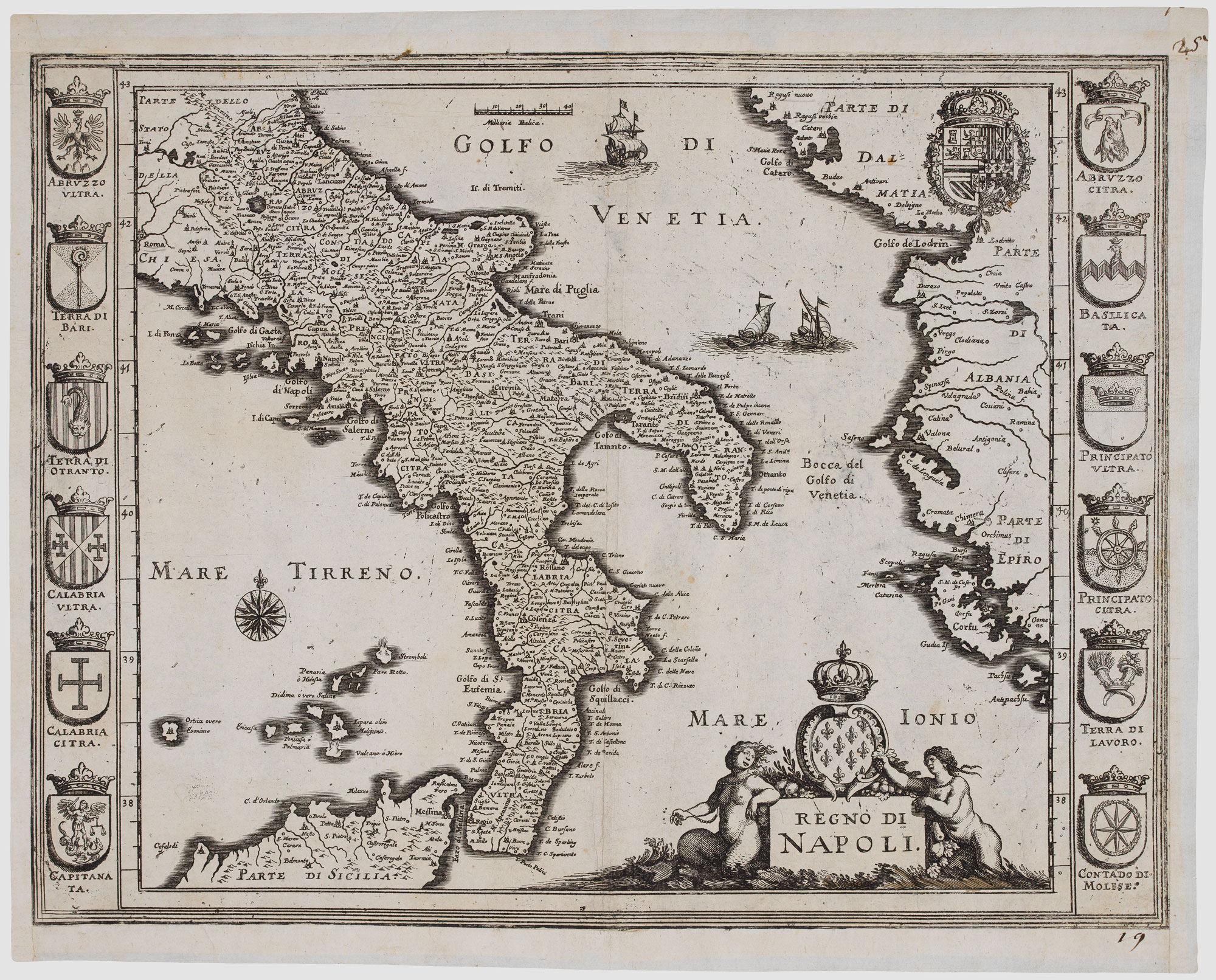


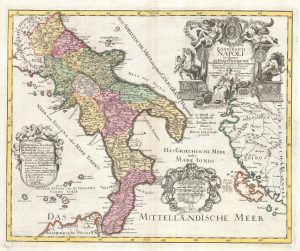
17th century map of the Kingdom of Naples
Regno di Napoli.
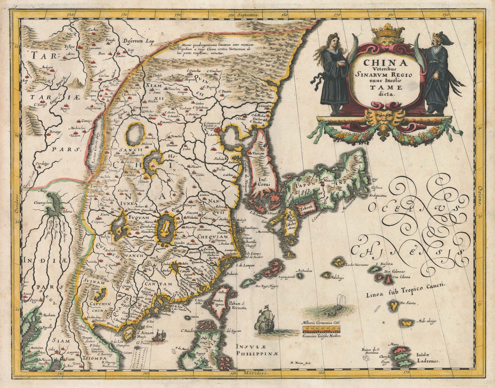
Frankfurt, 1638. 270 x 350mm.
£280.00
1 in stock
x
Question About This Item?
17th century map of the Kingdom of Naples & MERIAN, Matthaus.Stock #: 20697Similar to Sell?
Description
A dark impression example of this map of the Kingdom of Naples, showing the peninsula south of Rome. Down the sides are six armorials of the various provinces.
Condition:
Old repairs to margins.Related products
-
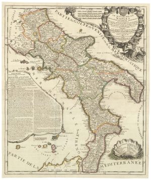
A rare map of the Kingdom of Naples
NOLIN, Jean Baptiste. Date: 1705Stock #: 23637 £680.00 -
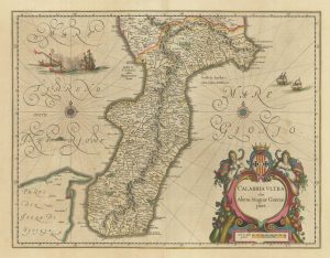
A 17th century map of Calabria
BLAEU, Johannes. Date: 1717Stock #: 21965 £440.00 -

16th century woodcut map of the Tyrrhenian Sea
ALBERTI, Leandro. Date: 1588Stock #: 21497 £400.00 -
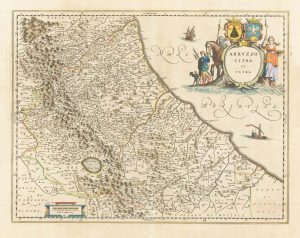
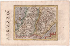
A classic 17th century Dutch map of Abruzzo
BLAEU, Johannes. Date: 1670Stock #: 22594 £380.00 -
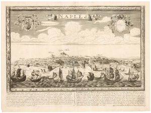
A rare 17th century prospect of Naples
JOLLAIN, Gerard. Date: 1680Stock #: 23076 £1,600.00 -
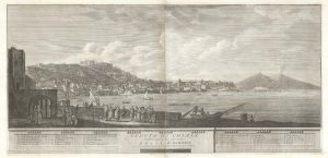
A two-sheet prospect of Chiaia with the Bay of Naples and Vesuvius
RICCIARDELLI, Gabriele. Date: 1765Stock #: 23421 £3,500.00 -
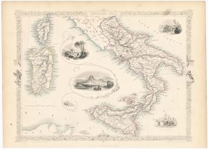
Mid-19th century map of southern Italy with vignettes
TALLIS, John. Date: 1851Stock #: 23547 £125.00 -
Abruzzo and northern Campania from the first English Edition of the ‘Atlas Minor’
HONDIUS, Jodocus. Date: 1635Stock #: 22459 £140.00 -
Scarce 18th century map of the Kingdom of Naples.
PROBST, Johann Michael. Date: 1775Stock #: 22739 £580.00
Items by the same author
[ti_wishlists_addtowishlist]
[ti_wishlists_addtowishlist]
[ti_wishlists_addtowishlist]

[ti_wishlists_addtowishlist]
[ti_wishlists_addtowishlist]
[ti_wishlists_addtowishlist]
