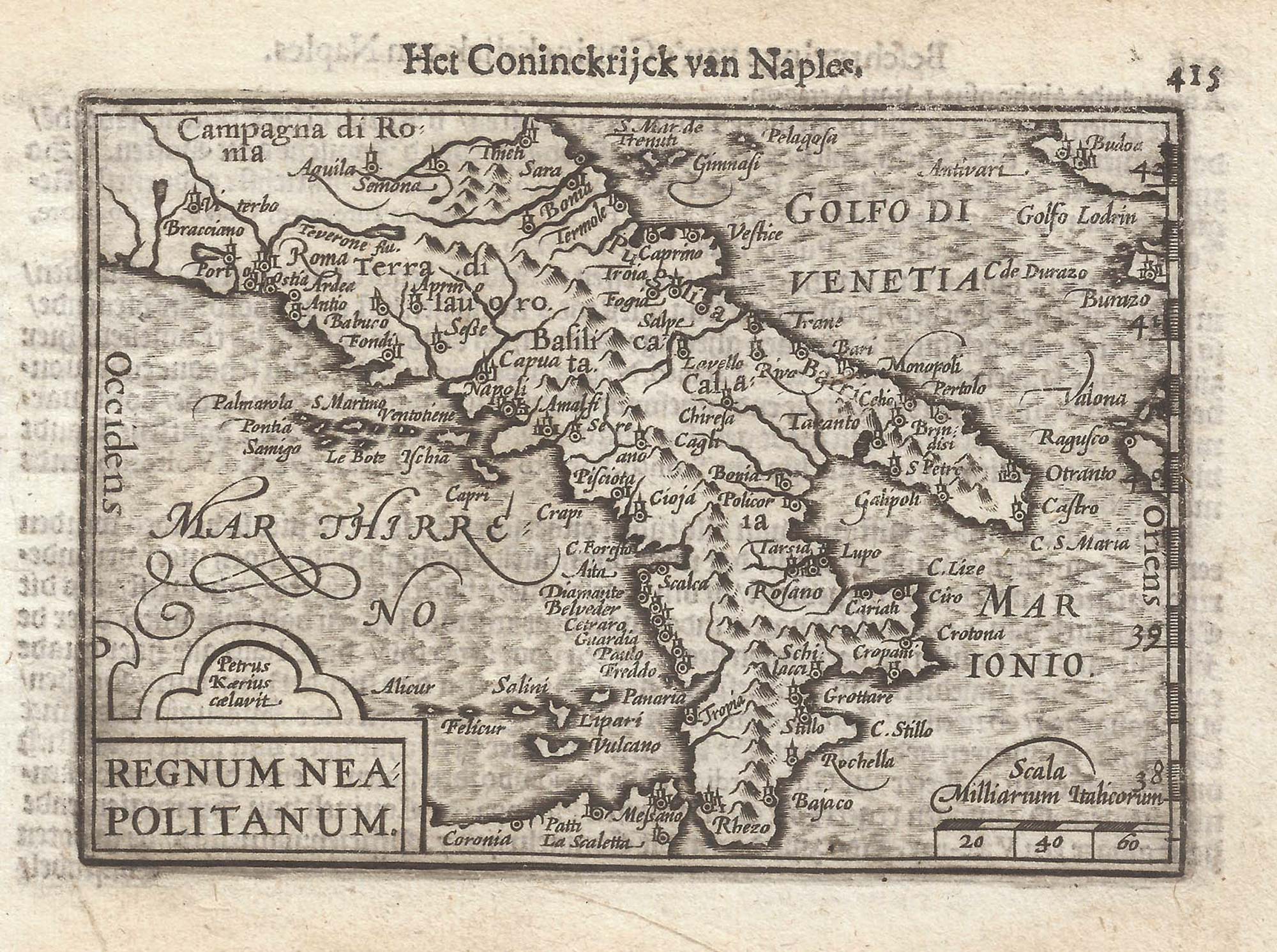


A 16th century miniature map of the Kingdom of Naples
Regnum Neapolitanum
Amsterdam, Cornelis Claez, 1599, Dutch text edition. 85 x 125mm, with letterpress surtitle and pagination.
£200.00
1 in stock
x
Question About This Item?
A 16th century miniature map of the Kingdom of Naples & LANGENES, Barent.Stock #: 21343Similar to Sell?
Description
A scarce map of the Kingdom of Naples, covering southern Italy, engraved by either Jodocus Hondius or Pieter van der Keere for the 'Caert-Thresoor', with a text by an unknown author. Despite being published only a year after the first edition, this is a second state: the left border has been re-engraved with latitude graduations.
By 1600 this map was being published in the 'Tabularum Geographicarum Contractarum' with a text by Petrus Bertius, and in 1616 a new plate was engraved by Jodocus Hondius II, slightly larger and with wider borders with scales of longitude and latitude.
Condition:
A good example.Related products
-
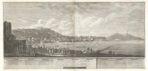
A two-sheet prospect of Chiaia with the Bay of Naples and Vesuvius
RICCIARDELLI, Gabriele. Date: 1765Stock #: 23421 £3,500.00 -
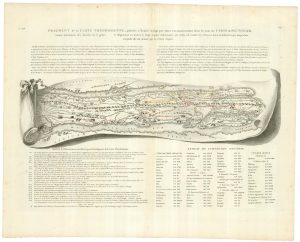
A trompe-l’oeil map of Italy from the Peutinger Table
RICHARD DE SAINT NON, Jean-Claude. Date: 1785Stock #: 18224 £350.00 -
Antonio Lafreri’s superb map of the Kingdom of Naples
LAFRERI, Antonio. Date: 1558Stock #: 25248 £5,500.00 -
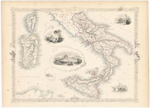
Mid-19th century map of southern Italy with vignettes
TALLIS, John. Date: 1851Stock #: 23547 £125.00 -
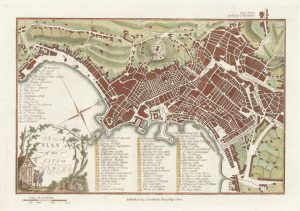
A late-18th century plan of Naples
ANDREWS, John. Date: 1800Stock #: 22646 £190.00 -
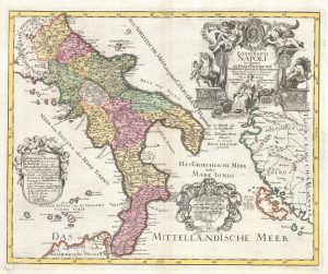
Scarce 18th century map of the Kingdom of Naples.
PROBST, Johann Michael. Date: 1775Stock #: 22739 £580.00 -
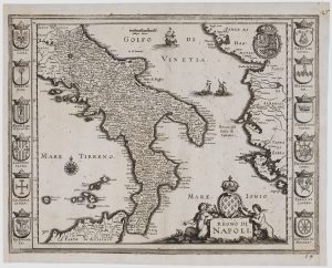
17th century map of the Kingdom of Naples
MERIAN, Matthaus. Date: 1638Stock #: 20697 £280.00 -
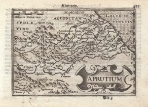
A 16th century miniature map of Abruzzo
LANGENES, Barent. Date: 1599Stock #: 21358 £150.00 -

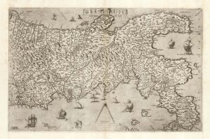
16th century woodcut map of the Tyrrhenian Sea
ALBERTI, Leandro. Date: 1588Stock #: 21497 £400.00
Items by the same author
[ti_wishlists_addtowishlist]

[ti_wishlists_addtowishlist]

A 16th century miniature map of Saxony, Thuringia & Meissen
LANGENES, Barent. Date: 1599 Stock #: 21173 £50.00
[ti_wishlists_addtowishlist]

[ti_wishlists_addtowishlist]

[ti_wishlists_addtowishlist]

A 16th century miniature map of the Comtat Venaissin
LANGENES, Barent. Date: 1599 Stock #: 21137 £55.00
[ti_wishlists_addtowishlist]
