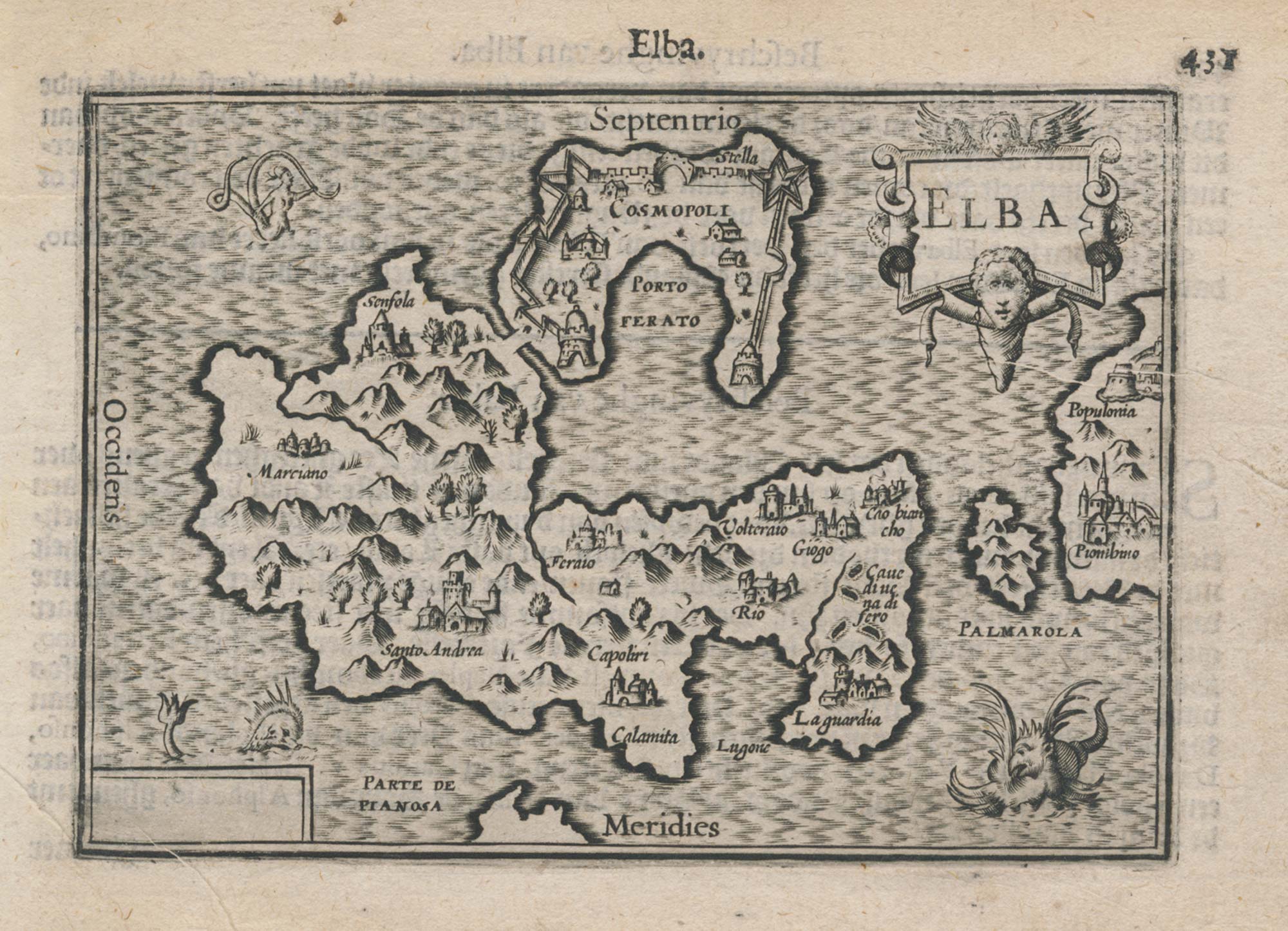


A 16th century miniature map of Elba
Elba.
Amsterdam, Cornelis Claez, 1599, Dutch text edition. 85 x 125mm, with letterpress surtitle and pagination.
£200.00
Description
A scarce map of Elba, engraved by either Jodocus Hondius or Pieter van der Keere for the 'Caert-Thresoor', with a text by an unknown author.
By 1600 this map was being published in the 'Tabularum Geographicarum Contractarum' with a text by Petrus Bertius, and in 1616 a new plate was engraved by Jodocus Hondius II, slightly larger and with wider borders with scales of longitude and latitude.
Condition:
A good example.Related products
-
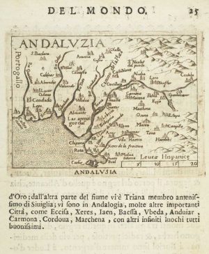
Miniature map of Andalusia
ORTELIUS, Abraham. Date: 1598Stock #: 9054 £60.00 -
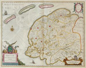
Friesland
JANSSON, Jan. Date: 1666Stock #: 8433 £250.00 -
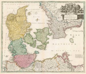
18th century map of Denmark
HOMANN, Johann Baptist. Date: 1720Stock #: 8312 £300.00 -
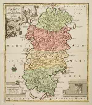
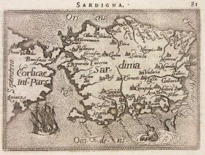
Large and detailed 18th century map of Sardinia
SEUTTER, Matthaus. Date: 1730Stock #: 9318 £750.00 -
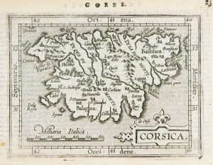
Miniature map of Corsica
ORTELIUS, Abraham. Date: 1602Stock #: 9121 £125.00 -
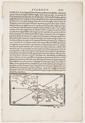
The first printed map of Corsica
BORDONE, Benedetto. Date: 1534Stock #: 11217 £800.00 -
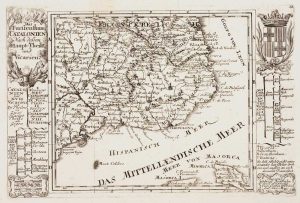
Catalonia
BODENEHR, Gabriel. Date: 1704Stock #: 10878 £125.00 -
Miniature map of Sardinia
ORTELIUS, Abraham. Date: 1602Stock #: 9144 £155.00 -
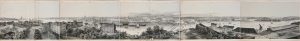
A true panorama of Stockholm
BILLMARK, C.J. Date: 1850Stock #: 10136 £1,200.00
Items by the same author
[ti_wishlists_addtowishlist]

[ti_wishlists_addtowishlist]

A 16th century miniature map of Saxony, Thuringia & Meissen
LANGENES, Barent. Date: 1599 Stock #: 21173 £50.00
[ti_wishlists_addtowishlist]

[ti_wishlists_addtowishlist]

[ti_wishlists_addtowishlist]

[ti_wishlists_addtowishlist]