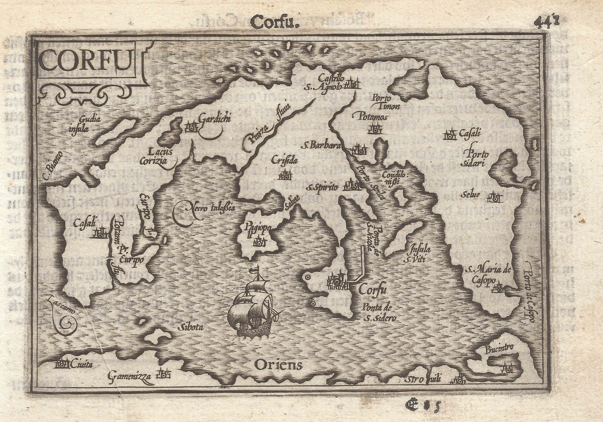


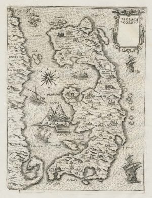
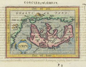
A 16th century miniature map of Corfu
Corfu.
Amsterdam, Cornelis Claez, 1599, Dutch text edition. 85 x 125mm, with letterpress surtitle and pagination.
£180.00
Description
A scarce map of Corfu, orientated with north to the right, engraved by either Jodocus Hondius or Pieter van der Keere for the 'Caert-Thresoor', with a text by an unknown author.
By 1600 this map was being published in the 'Tabularum Geographicarum Contractarum' with a text by Petrus Bertius, and in 1616 a new plate was engraved by Jodocus Hondius II, slightly larger and with wider borders with scales of longitude and latitude.
Condition:
A good example.References:
ZACHARAKIS: 1838.Related products
-
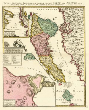
18th century map of Corfu in fine colour
OTTENS, Joachim. Date: 1700Stock #: 24733 £1,350.00 -
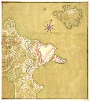
Manuscript map of the defences of Corfu City
Anonymous. Date: 1797Stock #: 24736 £980.00 -
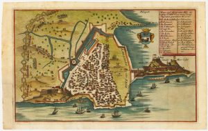
Rare town-plan of Corfu under siege by the Ottomans
WIERING, Thomas von. Date: 1716Stock #: 23665 £340.00 -
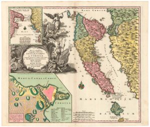
18th century map of Corfu in full original colour
SEUTTER, Matthaus. Date: 1730Stock #: 20403 £1,350.00 -
An early map of Corfu
BERTELLI, Donato. Date: 1713Stock #: 21940 £350.00 -
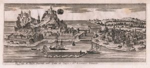
An 18th century prospect of Corfu city
SALMON, Thomas. Date: 1759Stock #: 23408 £150.00 -
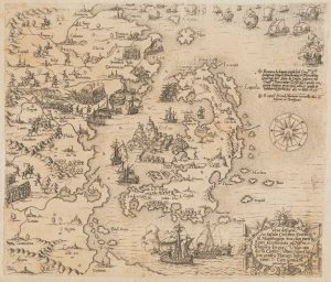
A very rare map of Corfu during the Ottoman-Venetian War of 1570
ZÜNDT, Matthias. Date: 1570Stock #: 20425 £12,500.00 -
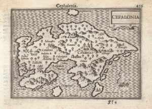
A 16th century miniature map of Cephalonia
LANGENES, Barent. Date: 1599Stock #: 21335 £200.00 -
Miniature map of Corfu
ORTELIUS, Abraham. Date: 1601Stock #: 19626 £150.00
Items by the same author
[ti_wishlists_addtowishlist]

[ti_wishlists_addtowishlist]

A 16th century miniature map of Saxony, Thuringia & Meissen
LANGENES, Barent. Date: 1599 Stock #: 21173 £50.00
[ti_wishlists_addtowishlist]

[ti_wishlists_addtowishlist]

[ti_wishlists_addtowishlist]

A 16th century miniature map of the Comtat Venaissin
LANGENES, Barent. Date: 1599 Stock #: 21137 £55.00
[ti_wishlists_addtowishlist]
