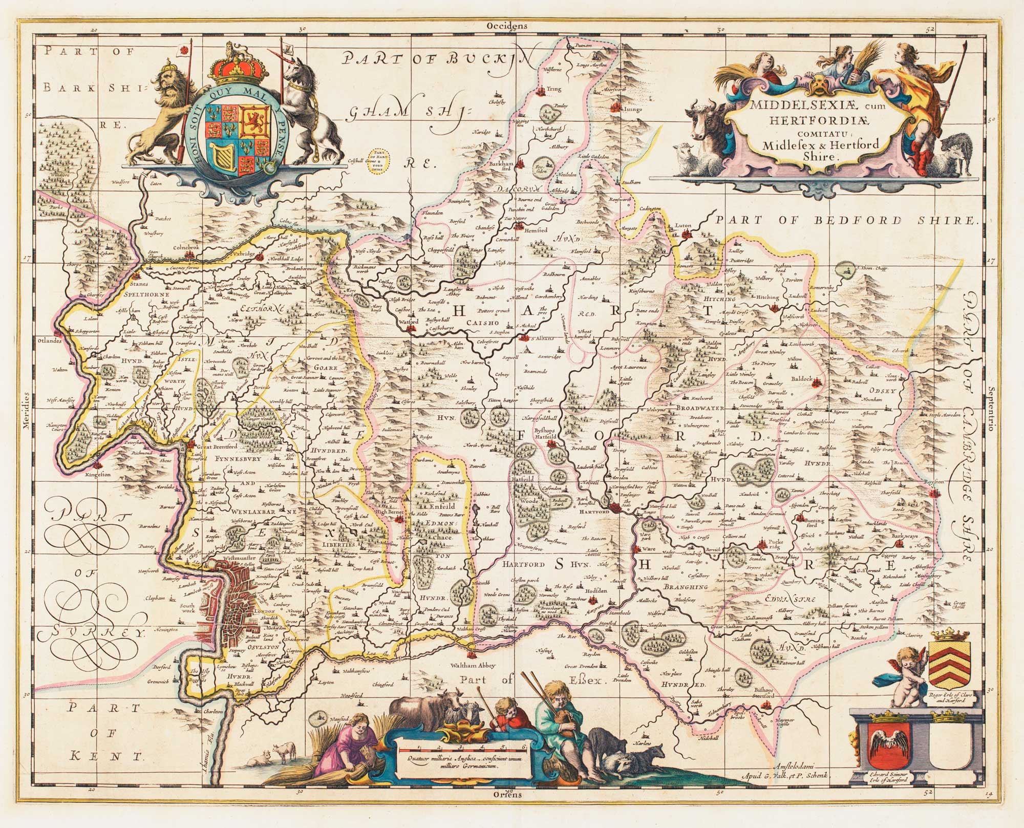


17th century map of Middlesex & Hertfordshire
Middelsexiae cum Hertfordiae comitatu. Midlesex & Hertford Shire.
Amsterdam: Schenk & Valk, c.1710, Blank verso. Original colour. 385 x 495mm.
£850.00
1 in stock
x
Question About This Item?
17th century map of Middlesex & Hertfordshire & JANSSON, Jan.Stock #: 14617
Add to Wishlist
Export as PDFEnquireSimilar to Sell?Add to Wishlist
Description
Map of the two counties, orientated with north to the right, with the layout of London's streets depicted. The title and scale are decorated with rustic cartouches, one with a figure of a bagpiper. There is a large royal crest and the arms of two of the Earls of Hertford. Originally published in 1646 this example comes from early in the next century, with the addition of grid lines and Schenk & Valk's names.
Condition:
A good example.Related products
-
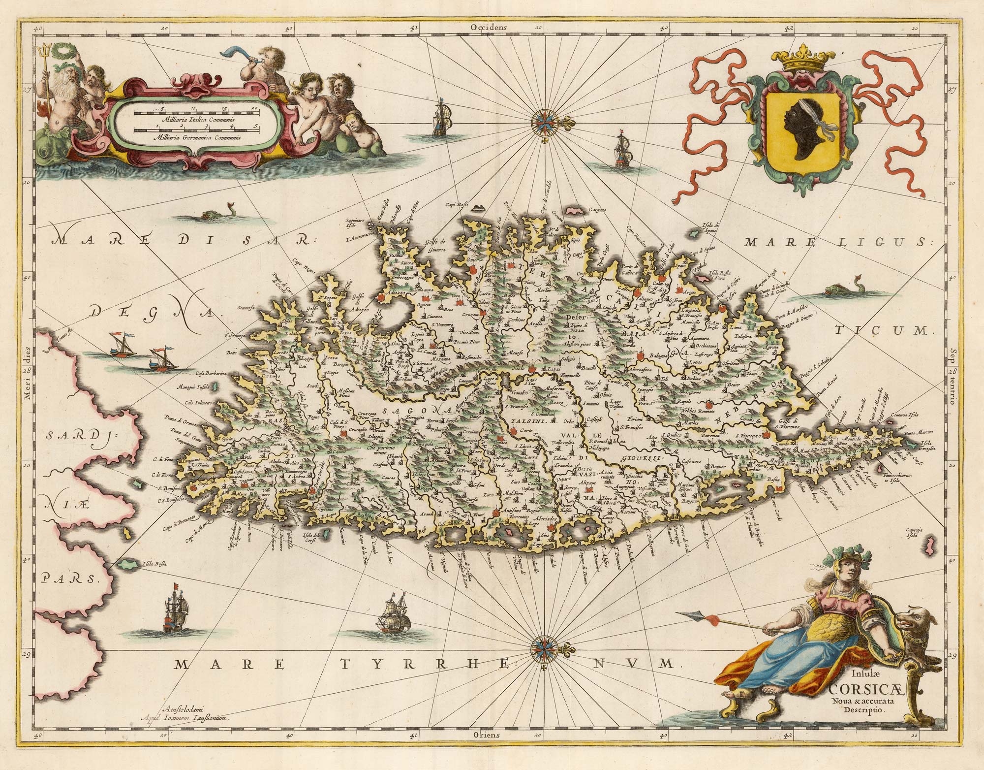
Rare map of Middlesex, Essex and Hertfordshire
WARBURTON, John. Date: 1726Stock #: 12907 £1,100.00 -
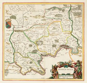
A classic 17th century Dutch map of Middlesex
BLAEU, Johannes. Date: 1658Stock #: 22701 £550.00 -
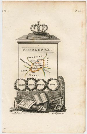
Miniature map of Middlesex
PERROT, Aristide Michel. Date: 1828Stock #: 23302 £45.00 -
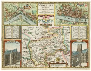
A First Edition example of Speed’s map of Middlesex
SPEED, John. Date: 1611Stock #: 25120 £2,500.00 -
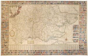
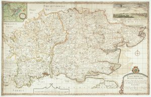
A monumental six-sheet map of Middlesex, Essex and Hertfordshire
WARBURTON, John. Date: 1726Stock #: 25159 £6,500.00 -
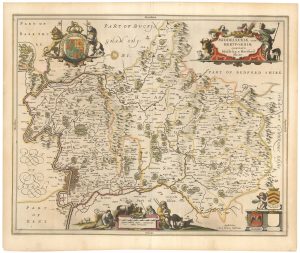
17th century map of Middlesex & Hertfordshire
JANSSON, Jan. Date: 1646Stock #: 23925 £750.00
Items by the same author
Add to Wishlist
Add to Wishlist

A magnificent example of the first folio sea atlas of the World
JANSSON, Jan. Date: 1650 Stock #: 23074 £47,500.00
Add to Wishlist
Add to Wishlist
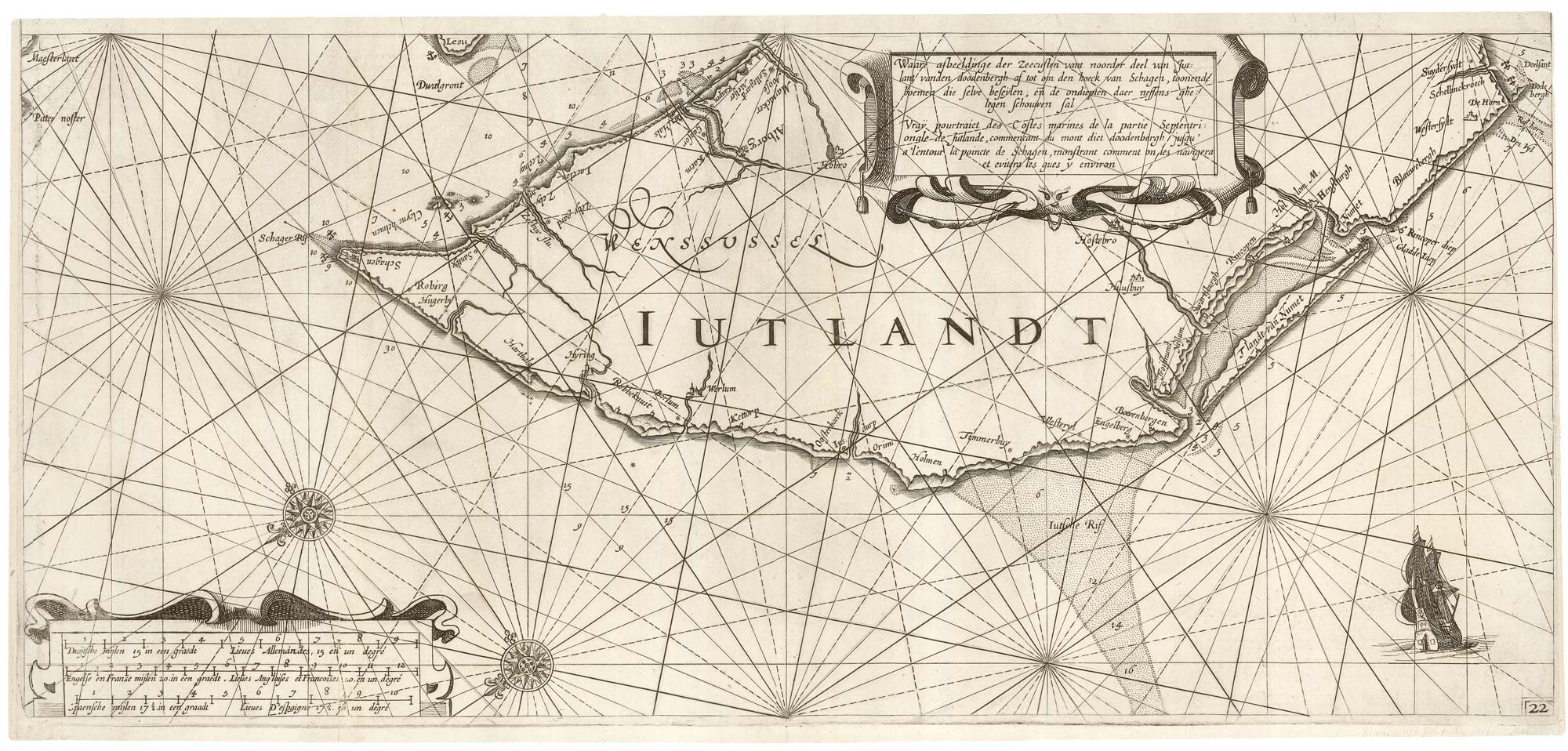
A rare 17th century sea chart of Jutland
JANSSON, Jan. Date: 1620 Stock #: 25262 £2,000.00
Add to Wishlist
Add to Wishlist

A 17th century map of Ireland from a pocket atlas
JANSSON, Jan. Date: 1631 Stock #: 25065 £325.00
Add to Wishlist
Add to Wishlist

An early issue of Jansson's map of Ireland
JANSSON, Jan. Date: 1638 Stock #: 23865 £950.00
Add to Wishlist
Add to Wishlist

Map of the River Elbe with a prospect of Hamburg
JANSSON, Jan. Date: 1630 Stock #: 24816 £500.00
Add to Wishlist
Add to Wishlist