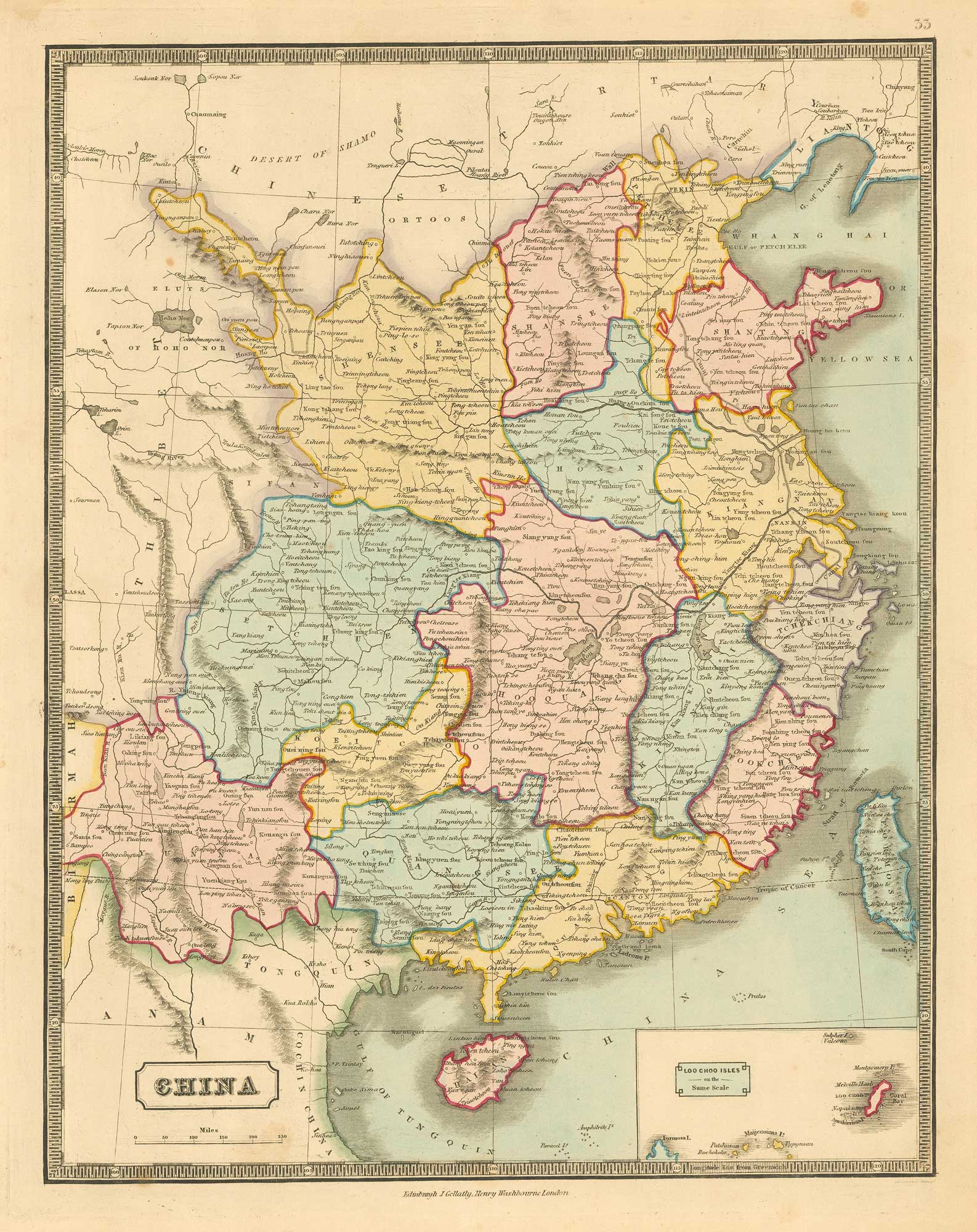


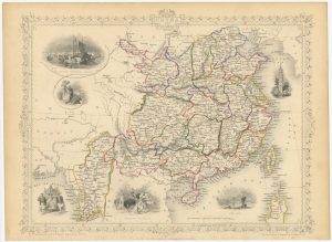
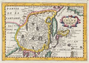
Mid 19th century map of China
China
Edinburgh: J. Gellatly, & London: Henry Washbourne, 1843. Original colour. 360 x 290mm.
£280.00
Description
A map of China, with an inset map of the Loo Choo Isles, from the scarce, 'New Edinburgh General Atlas' which was published jointly in London and Edinburgh, this atlas contained maps with excellent detail of towns, cities, rivers, lakes, orography, and political divisions.
Condition:
A good example.Related products
-
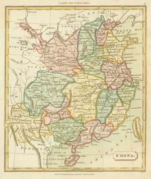
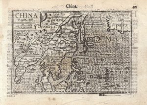
Map of China from an 19th century school atlas
TYRER, James. Date: 1821Stock #: 19360 £180.00 -

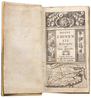
The first Western publication of a Chinese map of China
PURCHAS, Samuel. Date: 1625Stock #: 23063 £6,000.00 -
A charming 17th century miniature account of China.
TRIGAULT, Nicolas et al. Date: 1807Stock #: 23892 £650.00 -
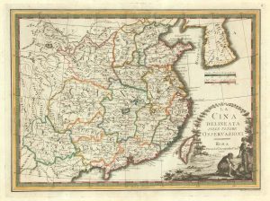
A scarce map of China
CASSINI, Giovanni Maria. Date: 1798Stock #: 20552 £650.00 -
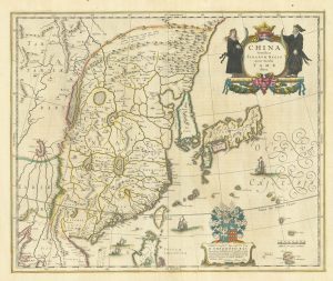
Classic 17th century map of China
BLAEU, Willem Janszoon. Date: 1642Stock #: 25332 -
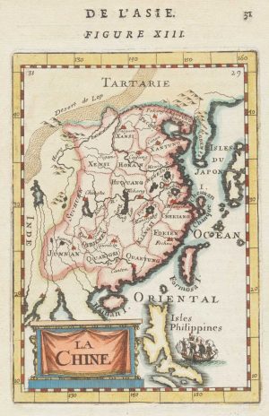
Miniature map of China
MALLET, Alain Manesson. Date: 1683Stock #: 18818 £190.00 -
Victorian map of China with views of Hong Kong and Canton
TALLIS, John. Date: 1851Stock #: 23537 £250.00 -
17th century map of China
JOLLAIN, Gerard. Date: 1660Stock #: 17841 £400.00 -
A 16th century miniature map of China
LANGENES, Barent. Date: 1599Stock #: 21270 £320.00
Items by the same author
Add to Wishlist
Add to Wishlist
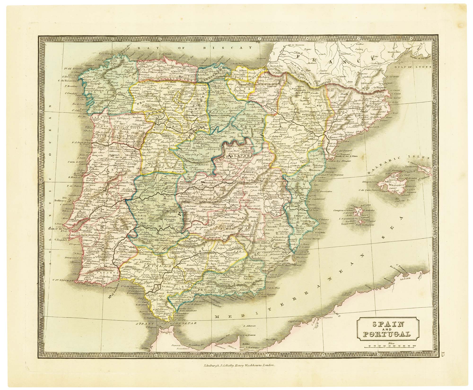
Mid-19th century map of Spain and Portugal with fine colour
GELLATLY, John. Date: 1843 Stock #: 21657 £110.00
Add to Wishlist
Add to Wishlist
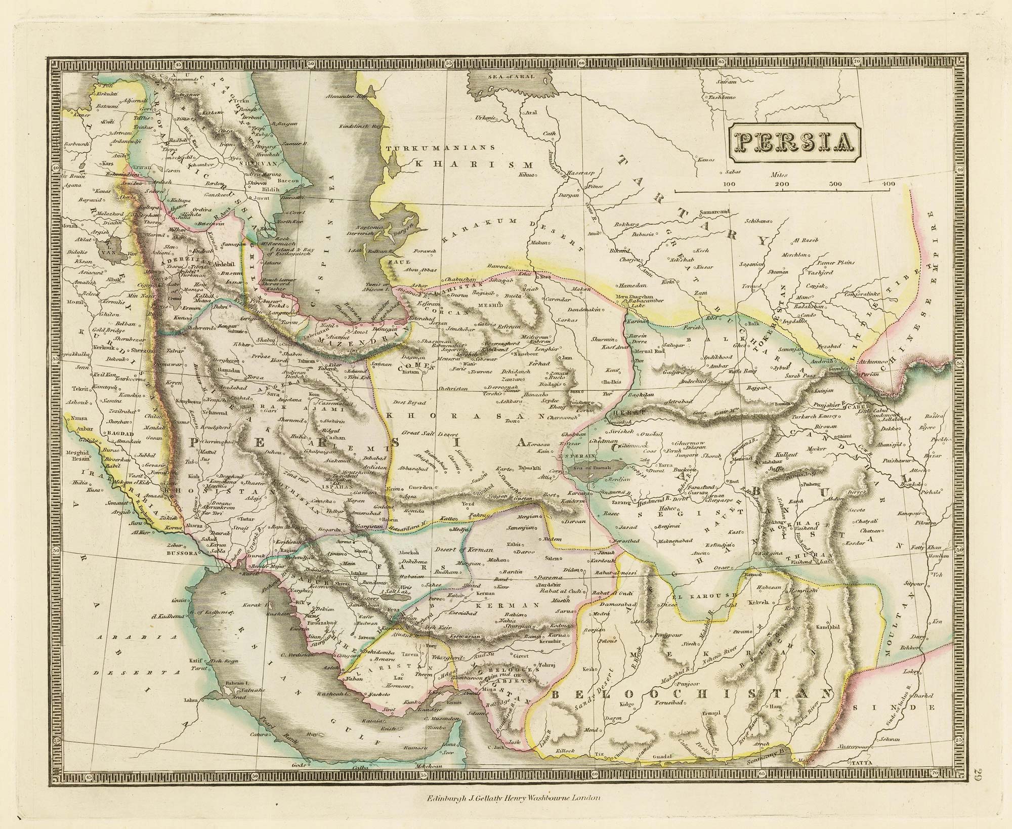
Mid-19th century map of Persia with fine colour
GELLATLY, John. Date: 1843 Stock #: 21659 £120.00
Add to Wishlist
Add to Wishlist
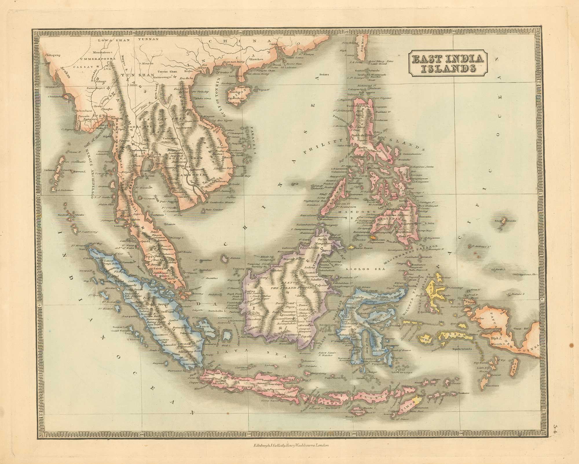
Mid 19th century map of the East India Islands
GELLATLY, John. Date: 1843 Stock #: 19952 £175.00
Add to Wishlist
Add to Wishlist