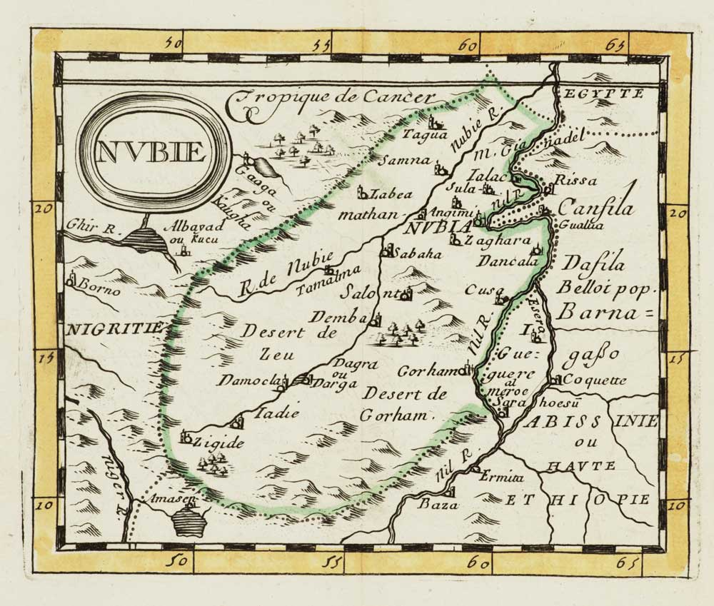


Miniature map of Nubia
Nubie.
Paris, 1682, original outline colour, 105 x 130mm.
£80.00
Description
A miniature map of Nubia (now composed of parts of Egypt and Sudan) marking its topography, tribal lands, rivers and settlements. From Du Val's miniature atlas 'La Géographie Universelle'.
Condition:
A good example.Related products
-
Ortelius’s map of Barbary in fine colour
ORTELIUS, Abraham. Date: 1603Stock #: 23807 £600.00 -
A 16th century map of Morocco
ORTELIUS, Abraham. Date: 1601Stock #: 23718 £700.00 -
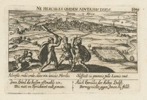
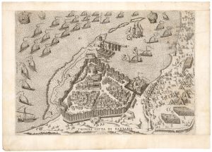
An unusual 17th century prospect of Tunis
MEISNER, Daniel. Date: 1640Stock #: 24684 £150.00 -

Miniature map of Mauretania & the Sahara
DU VAL, Pierre. Date: 1682Stock #: 10828 £80.00 -
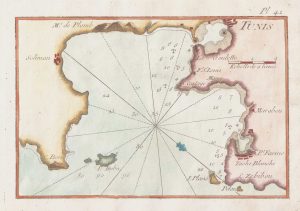
An 18th century chart of Tunis
ROUX, Joseph. Date: 1764Stock #: 21743 £75.00 -
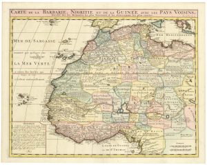
An 18th century map of Northwest Africa
CHATELAIN, Henri Abraham. Date: 1720Stock #: 22881 £340.00 -
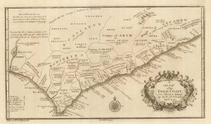
18th century map of the Gold Coast of Africa
ANVILLE, Jean Baptiste B. D'. Date: 1772Stock #: 22018 £150.00 -
A plan of Philip II’s fortress of Goletta in Tunis
LAFRERI, Antonio. Date: 1698Stock #: 25314 £750.00 -
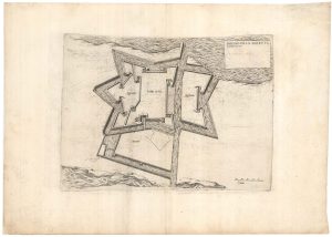
An Italian plan of Tripoli under siege by the Ottomans in 1551
LAFRERI, Antonio. Date: 1698Stock #: 25312 £2,400.00
Items by the same author
[ti_wishlists_addtowishlist]
[ti_wishlists_addtowishlist]

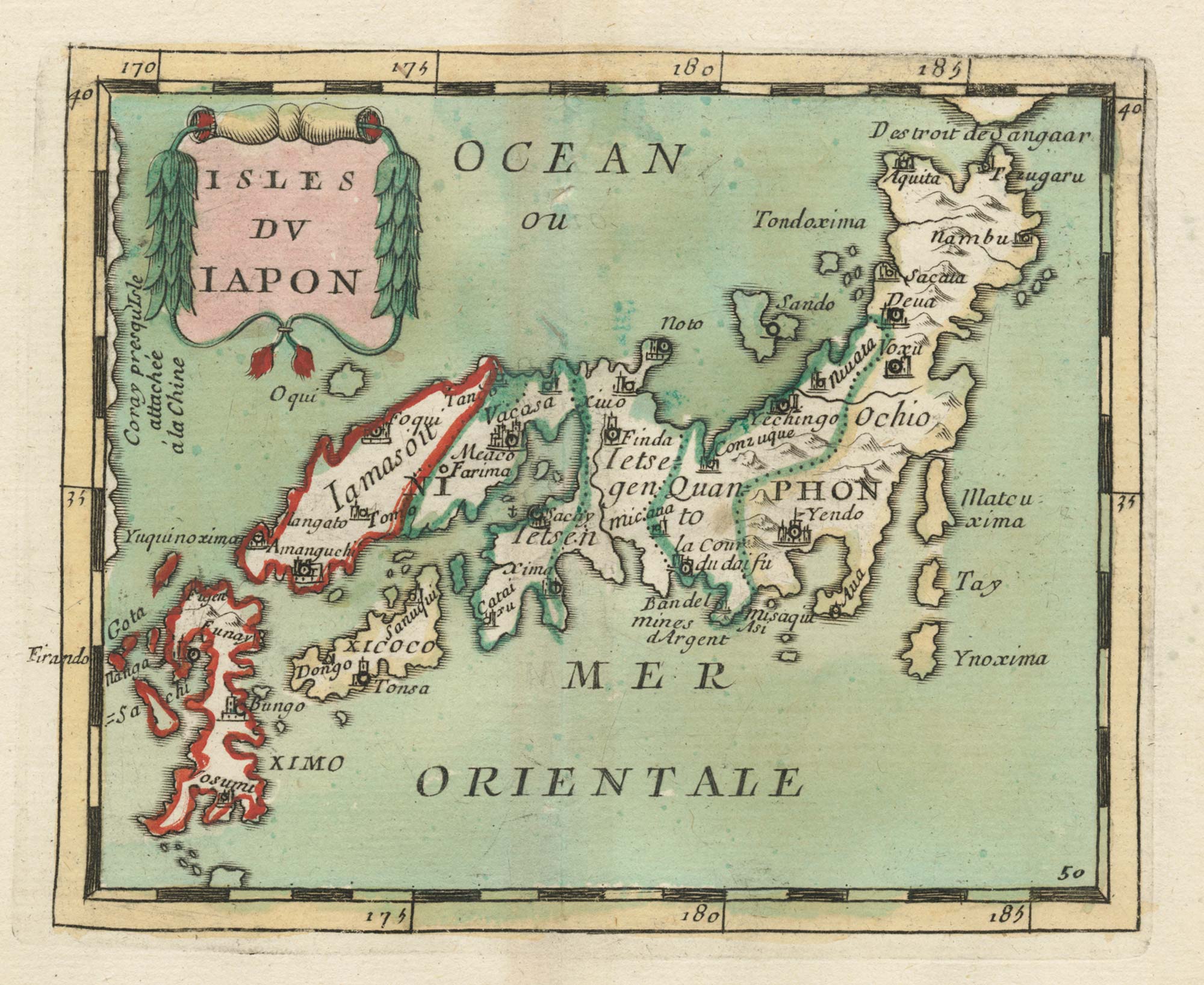
Crete with a plan of Heraklion under siege by the Ottomans
DU VAL, Pierre. Date: 1677 Stock #: 24834 £550.00
[ti_wishlists_addtowishlist]
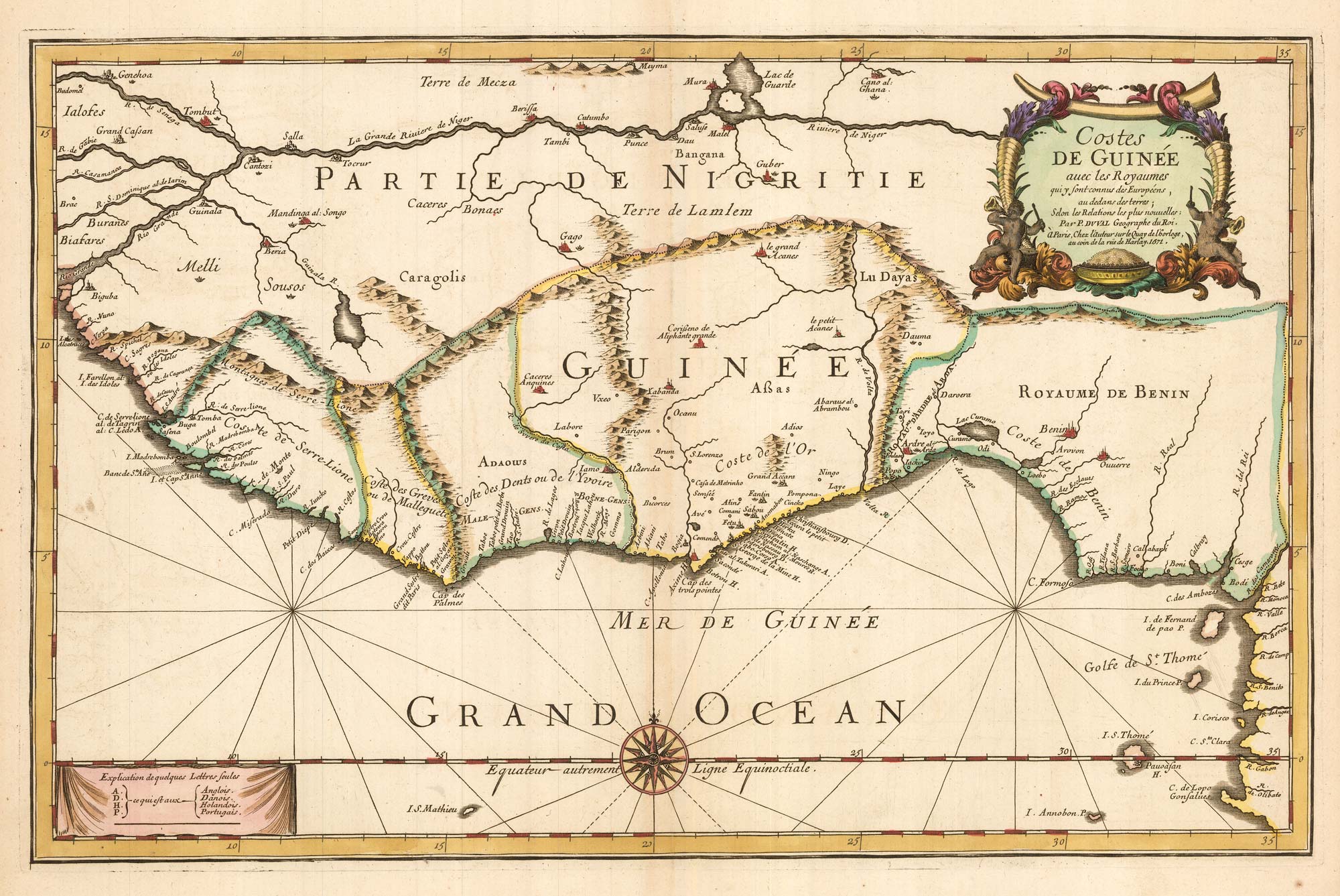
Du Val's folio map of the slave forts of the Gulf of Guinea
DU VAL, Pierre. Date: 1671 Stock #: 23256 £480.00
[ti_wishlists_addtowishlist]
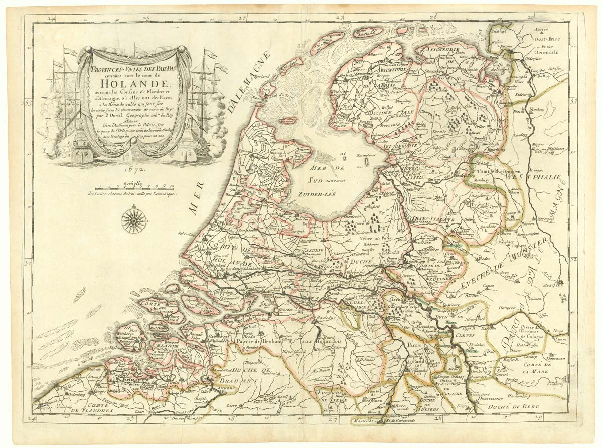
The Netherlands during the Anglo-Dutch War of 1672
DU VAL, Pierre. Date: 1672 Stock #: 20503 £900.00
[ti_wishlists_addtowishlist]